Beacon Wood
Wood, Forest in Somerset Mendip
England
Beacon Wood
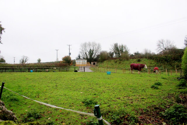
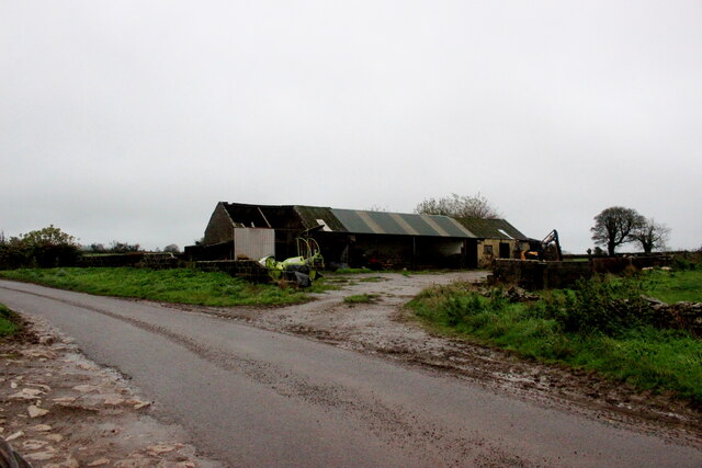
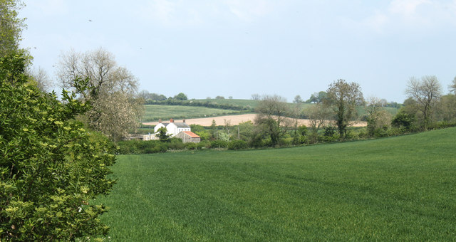
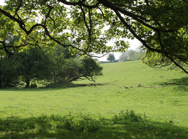
Beacon Wood is a picturesque forest located in the county of Somerset, England. Covering an area of approximately 300 acres, it stands as a natural haven for flora and fauna, offering a serene escape from the bustling city life. The wood is predominantly made up of native broadleaf trees, including oaks, beeches, and birches, creating a dense canopy that provides a cool and shaded environment.
The woodland is home to a diverse range of wildlife, making it a popular spot for nature enthusiasts and bird watchers. Visitors may catch a glimpse of various bird species, such as woodpeckers, owls, and thrushes, while lucky observers may even spot a deer or fox roaming through the undergrowth.
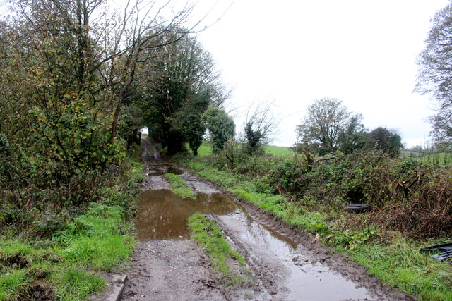
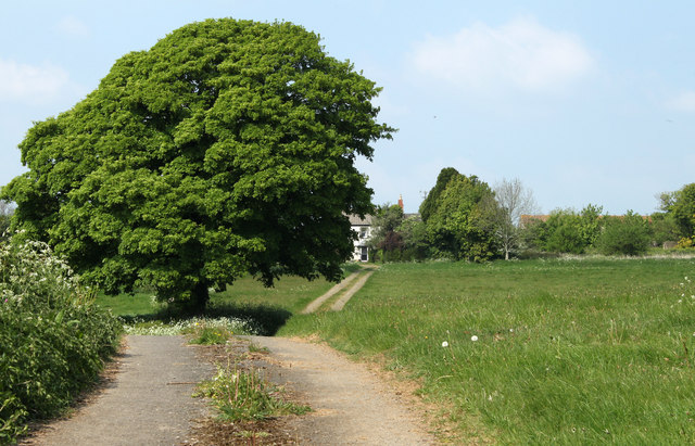
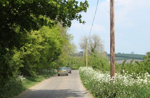
Several well-marked trails meander through Beacon Wood, allowing visitors to explore its natural beauty at their own pace. These paths lead to tranquil ponds and clearings, offering peaceful spots for picnicking or simply immersing oneself in the tranquil surroundings.
In addition to its natural wonders, Beacon Wood also holds historical significance. The remnants of an ancient beacon, used in centuries past as a communication tool, can still be found within the forest. This serves as a testament to the wood's long-standing presence and its connection to the local heritage.
Overall, Beacon Wood in Somerset presents a unique opportunity to experience the beauty of nature, discover local wildlife, and immerse oneself in the rich history of the area. It is a place where one can find solace, tranquility, and a deeper connection to the natural world.
If you have any feedback on the listing, please let us know in the comments section below.
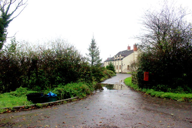
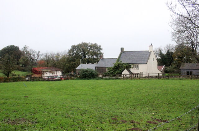
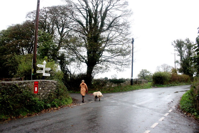
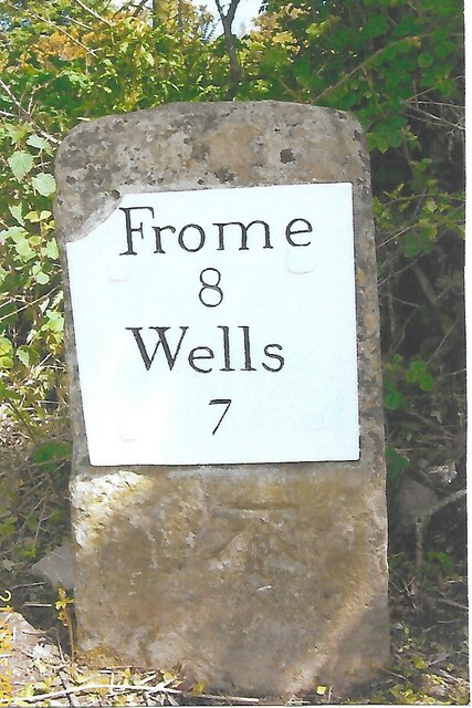
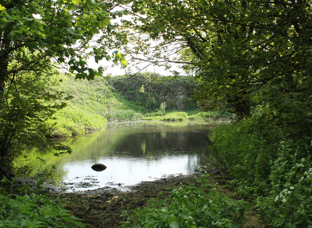
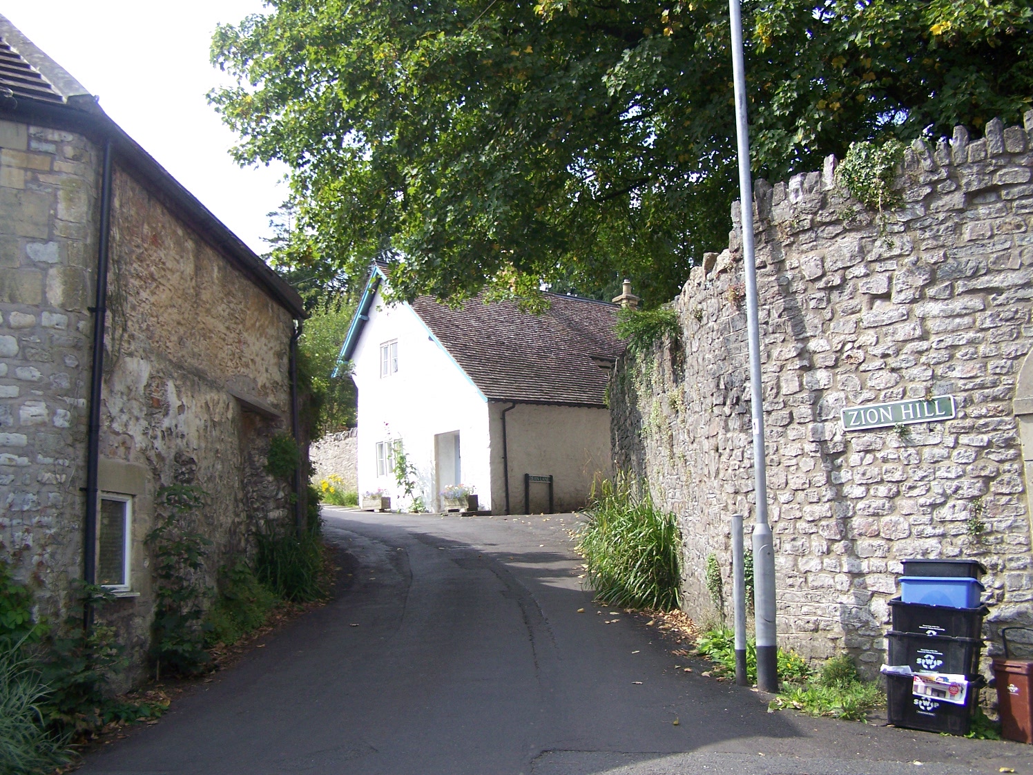
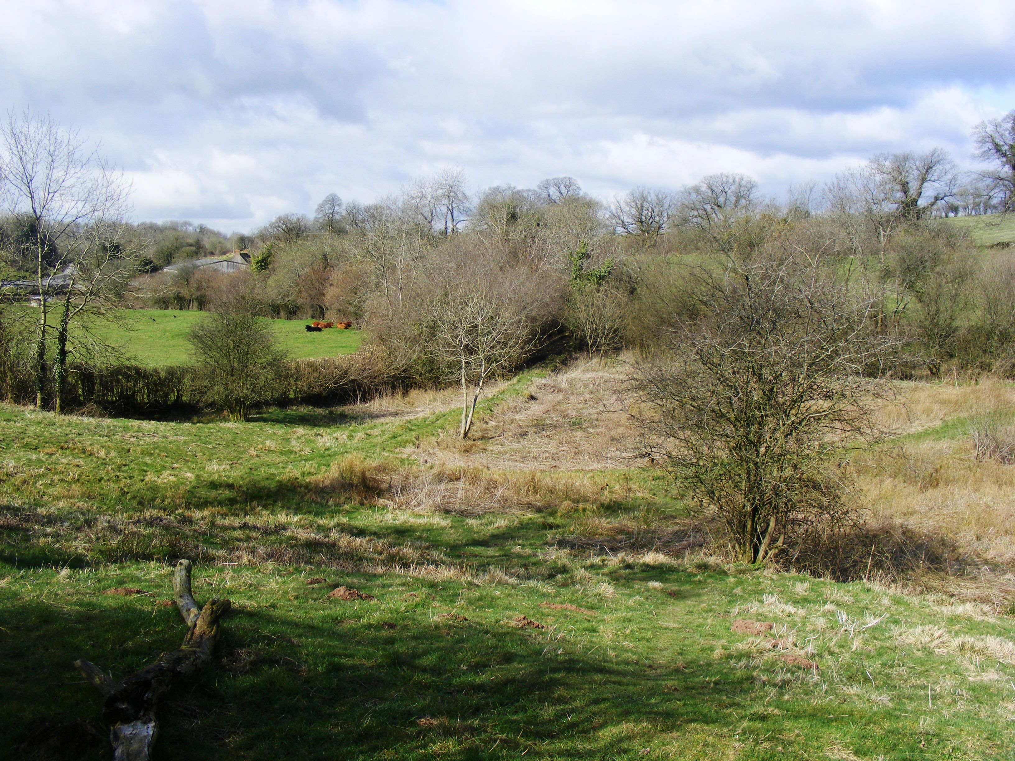
Beacon Wood Images
Images are sourced within 2km of 51.211225/-2.518687 or Grid Reference ST6345. Thanks to Geograph Open Source API. All images are credited.


Beacon Wood is located at Grid Ref: ST6345 (Lat: 51.211225, Lng: -2.518687)
Administrative County: Somerset
District: Mendip
Police Authority: Avon and Somerset
What 3 Words
///hindered.gratitude.relegate. Near Shepton Mallet, Somerset
Nearby Locations
Related Wikis
Oakhill
Oakhill is a village in the Mendip district of Somerset, England, in Ashwick parish approximately 2.5 miles (4 km) north of Shepton Mallet. It lies between...
Windsor Hill Marsh
Windsor Hill Marsh (grid reference ST619454) is a 0.84 hectare biological Site of Special Scientific Interest, north of the town of Shepton Mallet in Somerset...

Hobbs Quarry SSSI, Shepton Mallet
Hobbs Quarry (grid reference ST622446) is a 0.5 hectare geological Site of Special Scientific Interest near Shepton Mallet on the Mendip Hills in Somerset...

Viaduct Quarry
Viaduct Quarry (grid reference ST621443) is a 0.3 hectare geological Site of Special Scientific Interest near Shepton Mallet on the Mendip Hills in Somerset...

Hillier's Cave
Hillier's Cave (grid reference ST65734753) is a cave in Fairy Cave Quarry, near Stoke St Michael in the limestone of the Mendip Hills, in Somerset, England...

Balch Cave
Balch Cave (grid reference ST65734753) is a cave in Fairy Cave Quarry, near Stoke St Michael in the limestone of the Mendip Hills, in Somerset, England...
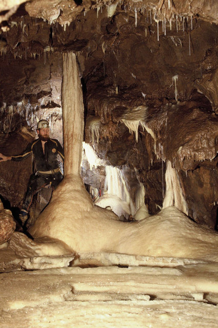
Shatter Cave
Shatter Cave is a cave in Fairy Cave Quarry, near Stoke St Michael in the limestone of the Mendip Hills, in Somerset, England. It falls within the St....

Fairy Cave Quarry
Fairy Cave Quarry (grid reference ST65734753) is between Stoke St Michael and Oakhill in the limestone of the Mendip Hills, in Somerset, England. Quarrying...
Nearby Amenities
Located within 500m of 51.211225,-2.518687Have you been to Beacon Wood?
Leave your review of Beacon Wood below (or comments, questions and feedback).