John's Hill
Hill, Mountain in Orkney
Scotland
John's Hill

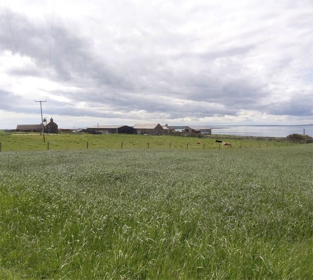
John's Hill is a prominent hill located in the Orkney Islands, an archipelago off the northeastern coast of Scotland. Situated on the Mainland, the largest island in the group, John's Hill is a popular destination for hikers and outdoor enthusiasts due to its stunning views and historical significance.
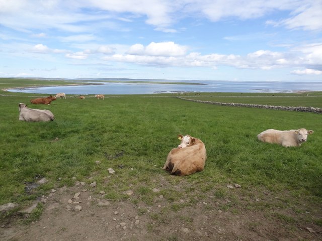
Standing at an elevation of 345 meters (1,132 feet), John's Hill offers panoramic vistas of the surrounding landscapes, including the pristine coastline, neighboring islands, and rolling green hills. Its distinct peak is easily recognizable from various points on the island, making it a prominent landmark.
The hill derives its name from the nearby settlement of John's Village, which lies to the southwest. This quaint village adds to the charm of the area, with its traditional Orkney houses and friendly atmosphere.
John's Hill is also known for its archaeological significance. The hill is home to several burial cairns, remnants of ancient civilizations that once inhabited the area. These cairns provide valuable insights into the history and culture of the Orkney Islands, attracting archaeologists and researchers from around the world.
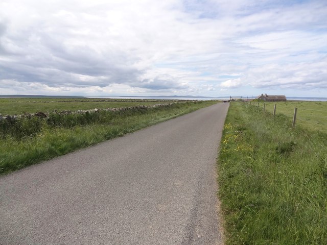
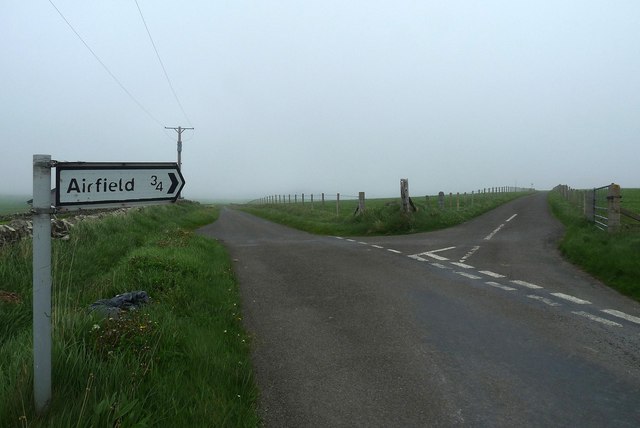
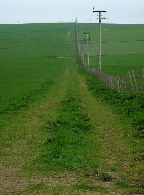
For those seeking outdoor adventures, John's Hill offers several hiking trails that cater to different skill levels. Visitors can choose from various paths that wind their way up the hill, offering breathtaking views along the way.
In summary, John's Hill in Orkney is a picturesque and historically significant destination, renowned for its stunning views, archaeological significance, and hiking opportunities.
If you have any feedback on the listing, please let us know in the comments section below.
John's Hill Images
Images are sourced within 2km of 59.1441/-2.6393771 or Grid Reference HY6328. Thanks to Geograph Open Source API. All images are credited.


John's Hill is located at Grid Ref: HY6328 (Lat: 59.1441, Lng: -2.6393771)
Unitary Authority: Orkney Islands
Police Authority: Highlands and Islands
What 3 Words
///tent.theory.shop. Near Whitehall, Orkney Islands
Nearby Locations
Related Wikis
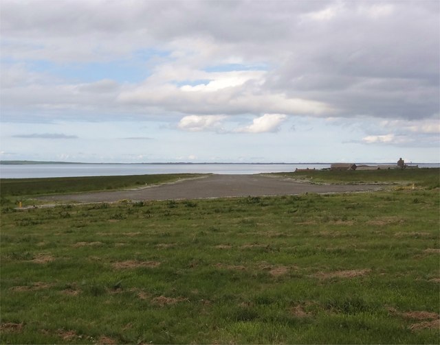
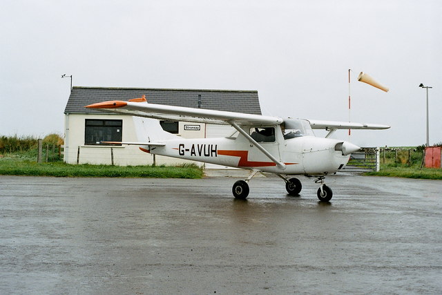
Stronsay Airport
Stronsay Airport (IATA: SOY, ICAO: EGER) is located 15 nautical miles (28 km; 17 mi) northeast by north of Kirkwall Airport on Stronsay, Orkney Islands...

Linga Sound, Orkney
Linga Sound is the strait between the islands of Linga Holm and Stronsay in the Orkney islands of Scotland. It leads into St. Catherines Bay from the north...

Whitehall, Orkney
Whitehall is the village on the island of Stronsay, in the Orkney Islands of Scotland. It is a small village with about 50 houses. It also has a shop...

Linga Holm
Linga Holm, commonly known as Linga, Midgarth and the Holm of Midgarth is an uninhabited Scottish island extending to approximately 57 hectares (0.22...

Holm of Huip
The Holm of Huip is a small island in the Orkney Islands, in Spurness Sound to the north west of Stronsay. The Holm has a cairn on it, and a number of...

Sons of the Most Holy Redeemer
The Congregation of the Sons of the Most Holy Redeemer (Latin: Filii Sanctissimi Redemptoris; FSSR), commonly known as the Transalpine Redemptorists or...

Papa Stronsay
Papa Stronsay (Scots: Papa Stronsee; Old Norse: Papey Minni) is a small island in Orkney, Scotland, lying north east of Stronsay. It is 74 hectares (183...
Stronsay
Stronsay () is an island in Orkney, Scotland. It is known as Orkney's 'Island of Bays', owing to an irregular shape with miles of coastline, with three...
Nearby Amenities
Located within 500m of 59.1441,-2.6393771Have you been to John's Hill?
Leave your review of John's Hill below (or comments, questions and feedback).