Southern Law
Hill, Mountain in East Lothian
Scotland
Southern Law
Southern Law is a prominent hill located in East Lothian, Scotland. Standing at an elevation of approximately 232 meters (761 feet), it offers breathtaking views of the surrounding landscape. The hill is situated about 2 kilometers (1.2 miles) southeast of the village of Humbie and approximately 20 kilometers (12 miles) southeast of the capital city, Edinburgh.
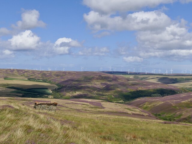
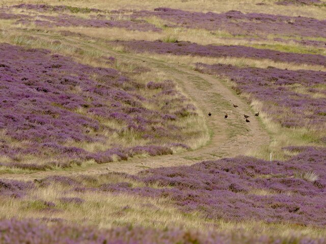
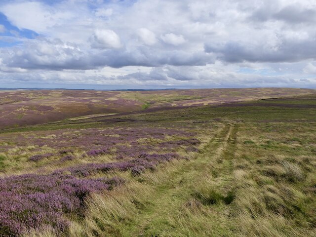
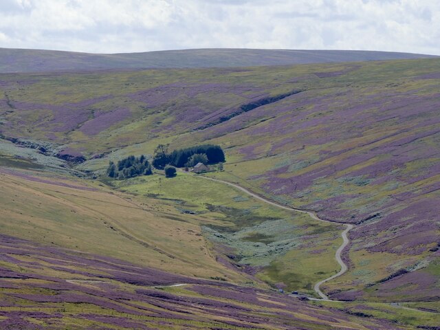
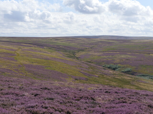
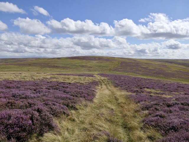
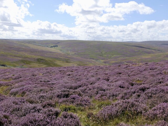
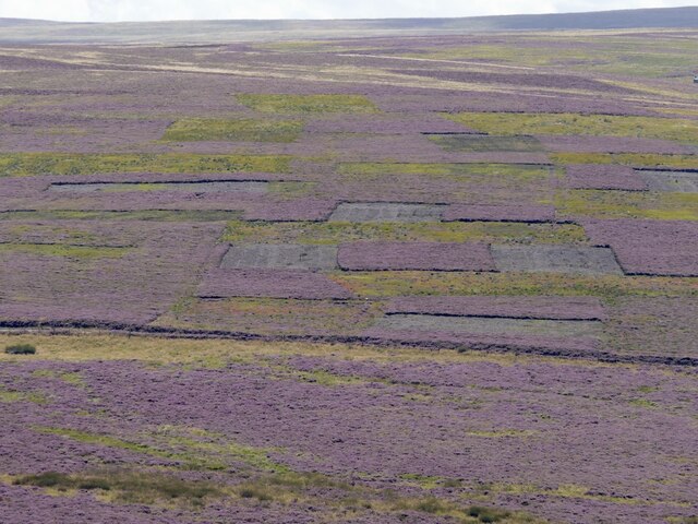
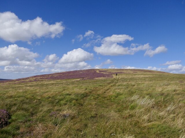
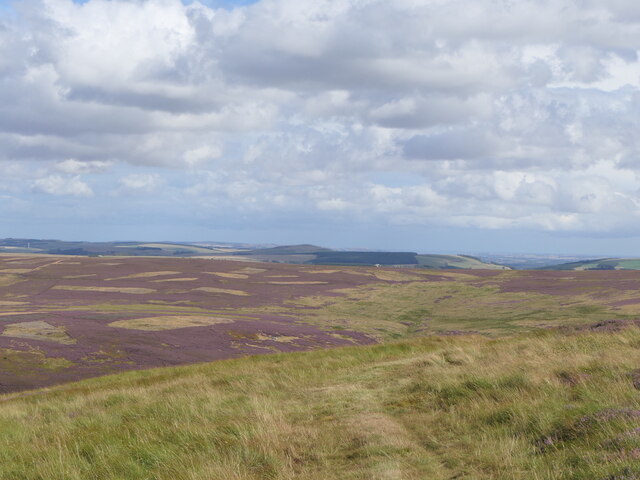
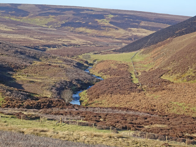
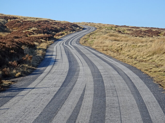
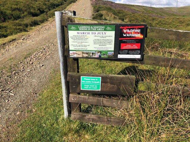
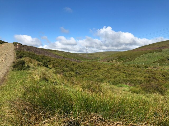
The terrain of Southern Law is primarily composed of grassy slopes, making it a popular destination for hikers and nature enthusiasts. The hill is easily accessible, with several footpaths leading to its summit. These paths wind through a mixture of open fields, woodlands, and heathlands, providing visitors with a diverse and picturesque experience.
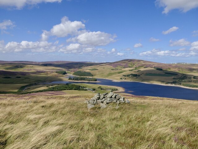
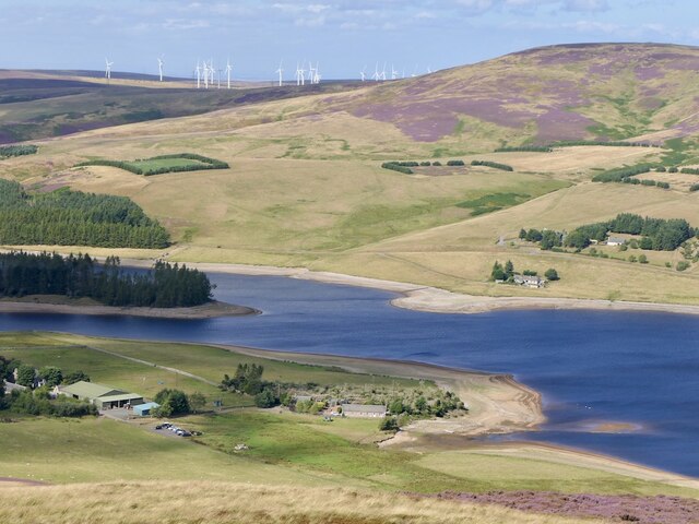
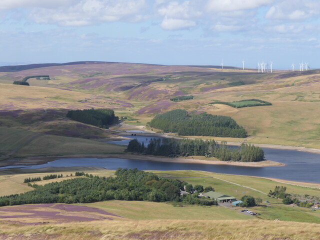
At the top of Southern Law, visitors are rewarded with panoramic vistas of East Lothian, including the rolling countryside, neighboring hills, and the Firth of Forth stretching towards the horizon. On clear days, it is even possible to spot landmarks such as the iconic Edinburgh Castle and the Pentland Hills in the distance.
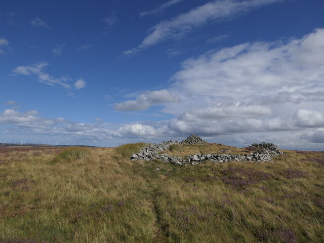
Southern Law is not only a haven for wildlife but also holds historical significance. The hill is home to several ancient burial mounds, adding an air of mystery and intrigue to the area. It offers a serene and tranquil setting, allowing visitors to immerse themselves in the natural beauty and rich history of East Lothian.
Overall, Southern Law is a cherished destination for those seeking outdoor adventures, stunning views, and a connection to the region's past.
If you have any feedback on the listing, please let us know in the comments section below.
Southern Law Images
Images are sourced within 2km of 55.852662/-2.5843085 or Grid Reference NT6362. Thanks to Geograph Open Source API. All images are credited.
Southern Law is located at Grid Ref: NT6362 (Lat: 55.852662, Lng: -2.5843085)
Unitary Authority: East Lothian
Police Authority: The Lothians and Scottish Borders
What 3 Words
///vessel.zoos.punch. Near East Linton, East Lothian
Nearby Locations
Related Wikis

Whiteadder Reservoir
Whiteadder Reservoir is a reservoir in East Lothian, Scotland, UK, in the Lammermuir Hills, 11 miles (18 km) north west of Duns in the Scottish Borders...

Mutiny Stones
The Mutiny Stones are a megalithic monument in the Lammermuir Hills, Scotland.Situated on Byrecleugh Rig, the nearest centre of habitation is at Longformacus...

Cranshaws
Cranshaws is a village on the B6355 road, near Duns, in the Scottish Borders area of Scotland, in the former Berwickshire. Of Cranshaws Castle only the...

Cranshaws Castle
Cranshaws Castle or Cranshaws Tower is a privately owned 15th-century pele situated by the village of Cranshaws in Berwickshire, Scotland. The building...
Have you been to Southern Law?
Leave your review of Southern Law below (or comments, questions and feedback).