Gauns Hill
Hill, Mountain in Kincardineshire
Scotland
Gauns Hill
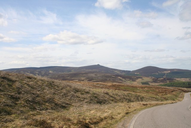
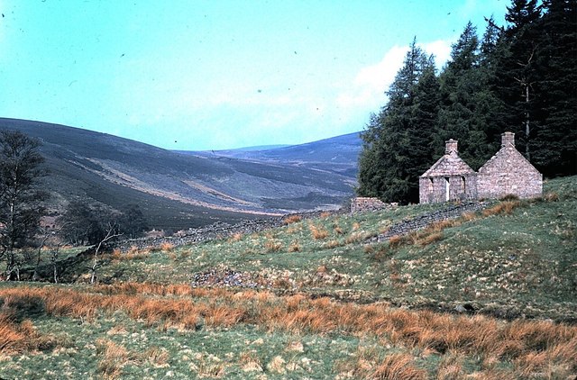
Gauns Hill is a prominent landmark located in Kincardineshire, a historic county in northeastern Scotland. Standing at an elevation of approximately 269 meters (883 feet), it is classified as a hill rather than a mountain. Despite its relatively modest height, Gauns Hill commands impressive panoramic views of the surrounding countryside.
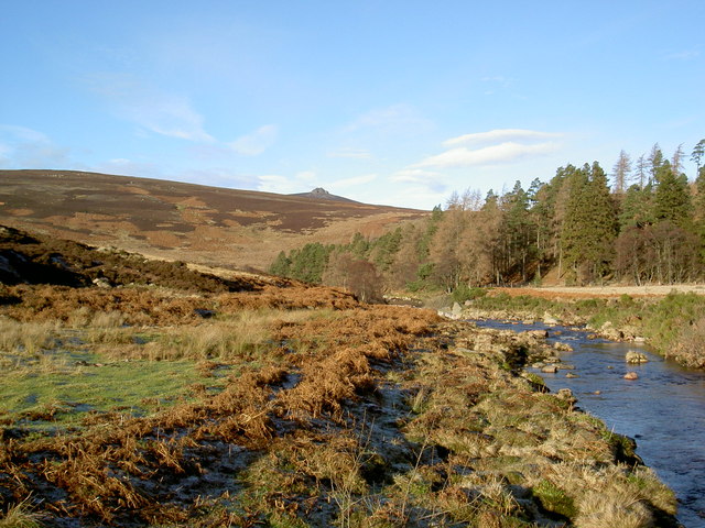
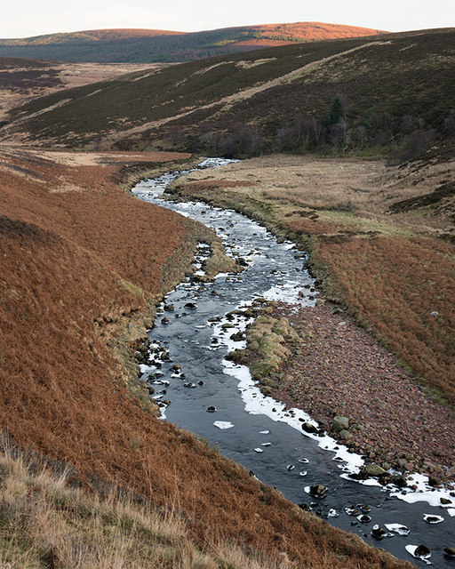
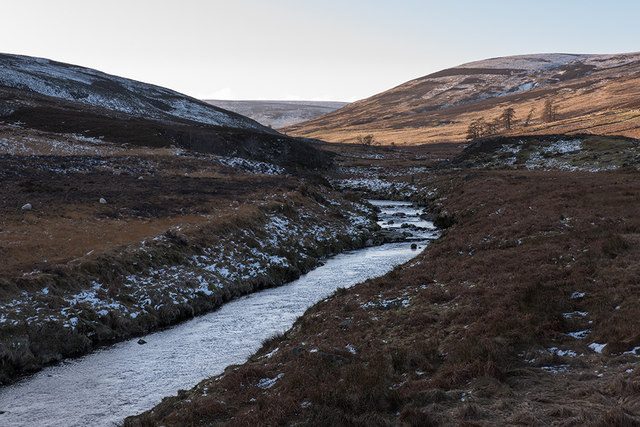
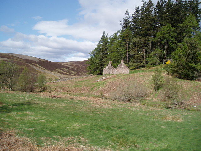
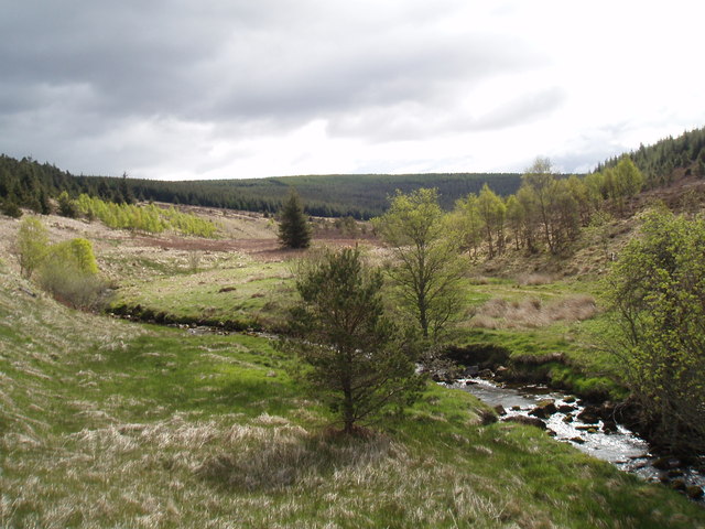
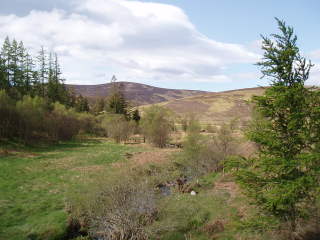
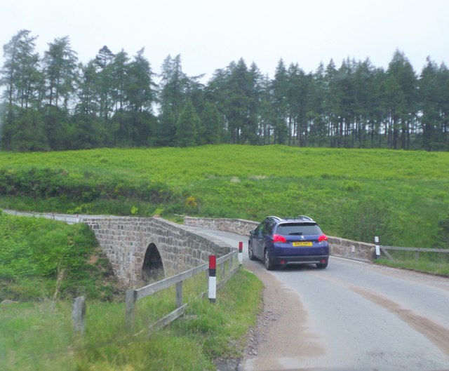
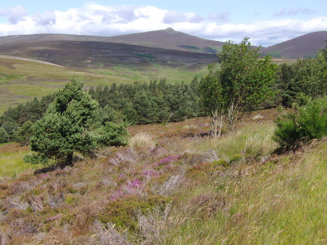
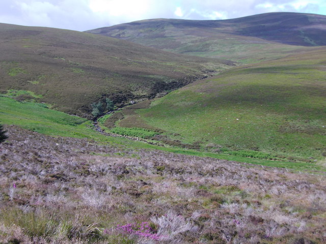
Situated about 10 kilometers (6 miles) west of Stonehaven, Gauns Hill is easily accessible via a network of well-maintained footpaths. The hill is predominantly covered in lush grass, interspersed with patches of heather and scattered trees. This verdant landscape provides habitat for a diverse range of flora and fauna, making it an attractive destination for nature enthusiasts.
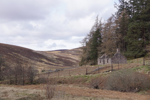
Gauns Hill holds historical significance as well. It is believed to have been used as a landmark and vantage point since ancient times. In fact, remnants of Iron Age hillforts and ancient settlements have been found in the vicinity, indicating human activity in the area dating back thousands of years.
Visitors to Gauns Hill can enjoy a variety of recreational activities, such as hiking, picnicking, and birdwatching. The hill offers a tranquil and peaceful setting, providing an opportunity to immerse oneself in the natural beauty of the Scottish countryside. On clear days, the views from the summit extend across the undulating hills, forests, and farmland, creating a breathtaking vista.
In conclusion, Gauns Hill is a notable hill located in Kincardineshire, Scotland. With its picturesque scenery, rich history, and recreational opportunities, it is a popular destination for both locals and tourists seeking to explore the region's natural beauty.
If you have any feedback on the listing, please let us know in the comments section below.
Gauns Hill Images
Images are sourced within 2km of 56.946001/-2.6018831 or Grid Reference NO6384. Thanks to Geograph Open Source API. All images are credited.


Gauns Hill is located at Grid Ref: NO6384 (Lat: 56.946001, Lng: -2.6018831)
Unitary Authority: Aberdeenshire
Police Authority: North East
What 3 Words
///pointed.tenders.neckline. Near Banchory, Aberdeenshire
Nearby Locations
Related Wikis

Clachnaben
Clachnaben (archaically "Cloch-na'bain"; Scottish Gaelic: "Clach na Beinne") is a 589-metre hill in Glen Dye, Aberdeenshire, Scotland. It is a distinctive...

Cairn O' Mounth
Cairn O' Mounth/Cairn O' Mount (Scottish Gaelic: Càrn Mhon) is a high mountain pass in Aberdeenshire, Scotland. The place name is a survival of the ancient...

Drumtochty Forest
Drumtochty Forest is a coniferous woodland in Kincardineshire, Scotland. In earlier times this forest was associated with Drumtochty Castle. Other notable...

Kincardineshire
Kincardineshire, also known as the Mearns (from the Scottish Gaelic A' Mhaoirne meaning "the Stewartry"), is a historic county, registration county and...
Have you been to Gauns Hill?
Leave your review of Gauns Hill below (or comments, questions and feedback).