The Beacon
Hill, Mountain in Somerset South Somerset
England
The Beacon

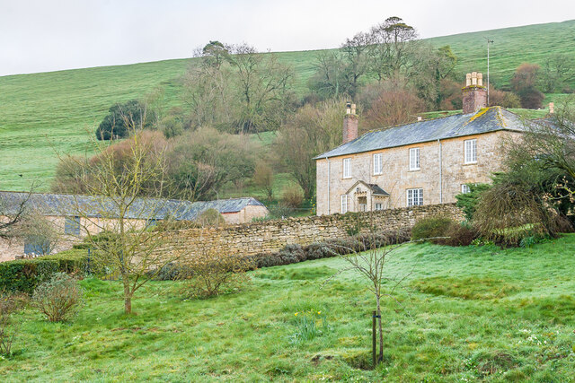
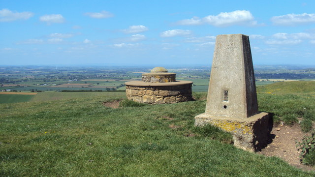
The Beacon, situated in Somerset, England, is a prominent hill located near the town of Minehead. Rising to an elevation of 325 meters (1,066 feet), it is often referred to as The Beacon Hill or simply The Beacon. Offering stunning panoramic views of the surrounding countryside, it is a popular destination for locals and tourists alike.
The Beacon is known for its rich history, dating back to the Iron Age. The hill was once home to an Iron Age hill fort, which served as a defensive stronghold. Remnants of this fort can still be seen today in the form of earthworks and ditches. It is believed that the hill fort was occupied until the Roman invasion of Britain.
Today, The Beacon is a designated Area of Outstanding Natural Beauty, thanks to its diverse flora and fauna. The hill is covered in heather, gorse, and bracken, providing a vibrant display of colors throughout the year. It is also home to various wildlife species, including rabbits, foxes, and a variety of birds.
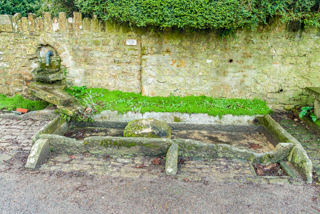
Visitors to The Beacon can enjoy a range of outdoor activities, such as hiking and walking. There are numerous footpaths and trails that lead to the summit, allowing visitors to explore the hill at their own pace. The breathtaking views from the top make it an ideal spot for picnics and photography enthusiasts. Additionally, The Beacon is a popular spot for paragliding and hang gliding, attracting thrill-seekers from far and wide.
In conclusion, The Beacon in Somerset is a picturesque hill with a rich history and stunning natural beauty. Whether it is for a leisurely walk, an adrenaline-fueled adventure, or simply to enjoy the breathtaking views, The Beacon offers something for everyone.
If you have any feedback on the listing, please let us know in the comments section below.
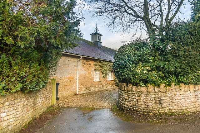
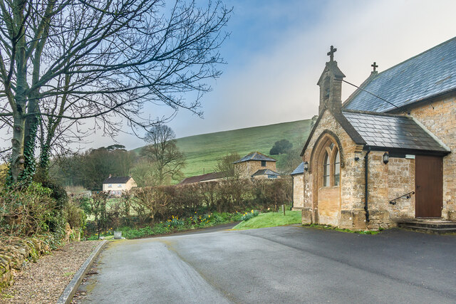
The Beacon Images
Images are sourced within 2km of 51.00892/-2.5246933 or Grid Reference ST6323. Thanks to Geograph Open Source API. All images are credited.


The Beacon is located at Grid Ref: ST6323 (Lat: 51.00892, Lng: -2.5246933)
Administrative County: Somerset
District: South Somerset
Police Authority: Avon and Somerset
What 3 Words
///reckoned.tamed.mirror. Near Milborne Port, Somerset
Nearby Locations
Related Wikis
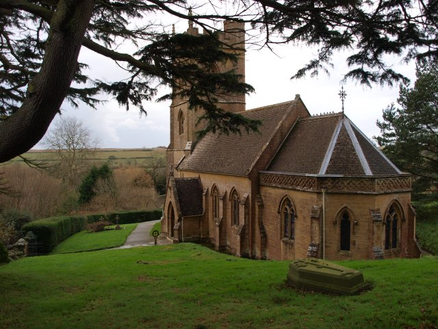
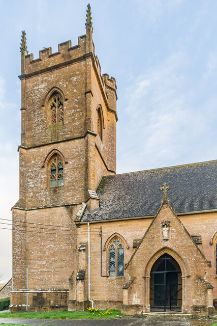
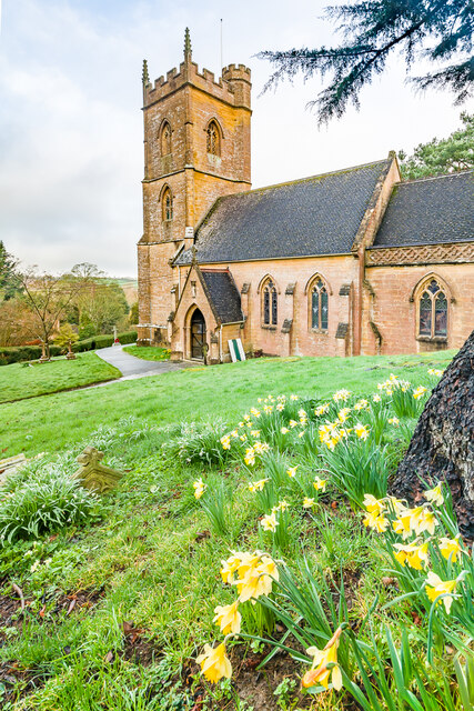
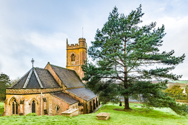
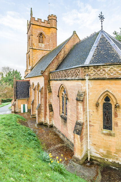
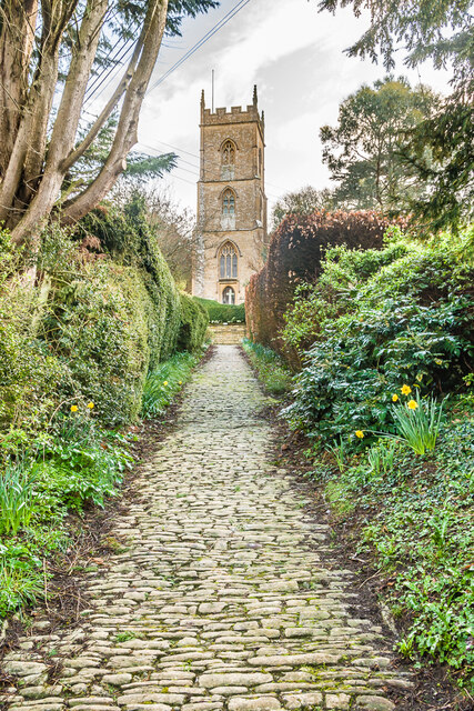
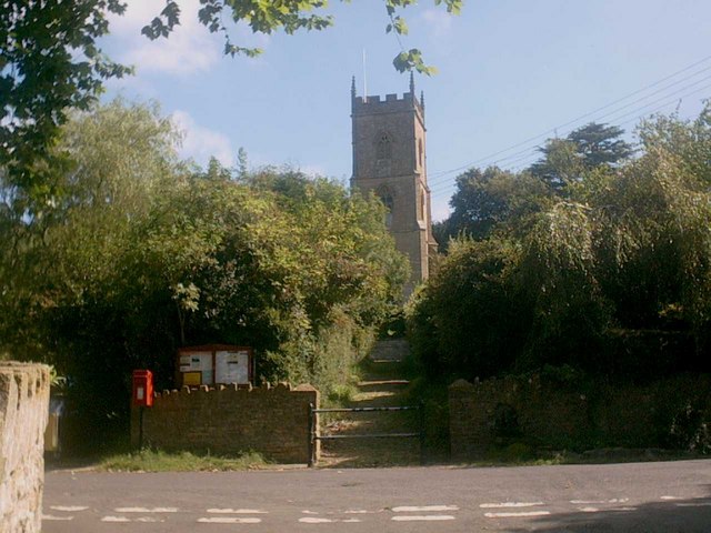
St Andrew's Church, Corton Denham
St Andrew's Church is a Church of England parish church in Corton Denham, Somerset, England. It was built in 1869–70 to replace an earlier church of 13th...
Corton Denham
Corton Denham is a village and parish in Somerset, England, situated seven miles north east of Yeovil in the South Somerset district. The village has...

Sigwells
Sigwells is a hamlet located in an area rich in archaeology remains, overlooking Cadbury Castle in Somerset, England. It was the target of research by...

RNAS Charlton Horethorne (HMS Heron II)
Royal Naval Air Station Charlton Horethorne, (RNAS Charlton Horethorne; or HMS Heron II) is a former Royal Naval Air Station in the hamlet of Sigwells...

Church of the Holy Trinity, Sutton Montis
The Anglican Church of the Holy Trinity at Sutton Montis in the parish of South Cadbury and Sutton Montis, Somerset, England, has Saxon origins but most...

Cadbury Castle, Somerset
Cadbury Castle is a Bronze and Iron Age hillfort in the civil parish of South Cadbury in the English county of Somerset. It is a scheduled monument and...

Church of St Thomas à Becket, South Cadbury
The Church of St Thomas à Becket is the Anglican parish church for the ancient village of South Cadbury in Somerset and is dedicated to Thomas Becket....
South Cadbury
South Cadbury is a village and former civil parish, now in the parish of South Cadbury and Sutton Montis, in the Somerset district of the ceremonial county...
Nearby Amenities
Located within 500m of 51.00892,-2.5246933Have you been to The Beacon?
Leave your review of The Beacon below (or comments, questions and feedback).