Hill of Culbirnie

Hill, Mountain in Banffshire

Scotland

Hill of Culbirnie

Curious cattle Near Ordens - coming to see why I was getting out of the car.
Curious cattle Credit: Alan Murray-Rust

The Hill of Culbirnie is a prominent landmark located in Banffshire, Scotland. Rising to an elevation of 276 meters (905 feet), it is classified as a hill rather than a mountain due to its moderate height. The hill is situated near the village of Cuminestown, approximately 10 kilometers (6 miles) southwest of Turriff.

The Hill of Culbirnie boasts a distinctive conical shape, with its slopes covered in lush green vegetation. The hill is composed of ancient rocks, predominantly granite, which contributes to its rugged and picturesque appearance. From the summit, visitors are rewarded with breathtaking panoramic views of the surrounding countryside, including the tranquil River Deveron meandering through the valley.

Hillwalkers and nature enthusiasts are drawn to the Hill of Culbirnie for its scenic beauty and diverse flora and fauna. The hill is a haven for wildlife, with a variety of bird species, such as red kites and buzzards, soaring through the skies. The woodlands around the hill are home to numerous mammals, including red deer, badgers, and foxes.

The Hill of Culbirnie also holds historical significance. On the southern slope, there are remnants of an ancient fort, believed to have been constructed during the Iron Age. This archaeological site provides a glimpse into the region's rich past and attracts history enthusiasts keen to explore its remnants.

Access to the Hill of Culbirnie is relatively straightforward, with well-defined paths leading to the summit. Despite its moderate height, the hill offers a rewarding and invigorating hike, allowing visitors to immerse themselves in the natural beauty and history of Banffshire.

If you have any feedback on the listing, please let us know in the comments section below.

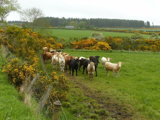
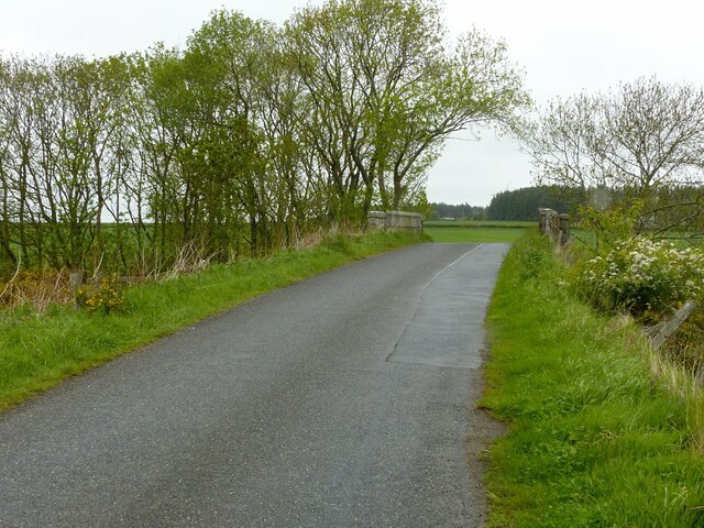
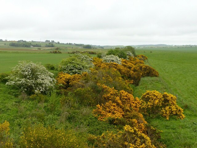
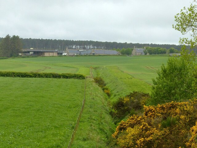
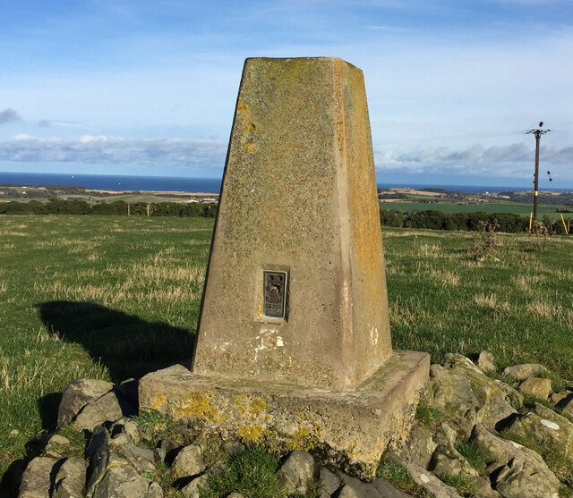
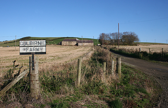
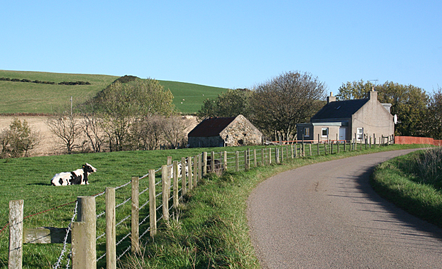
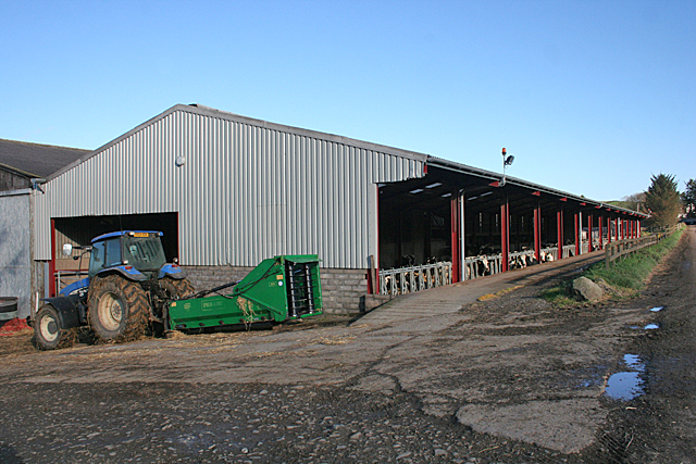
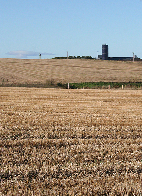
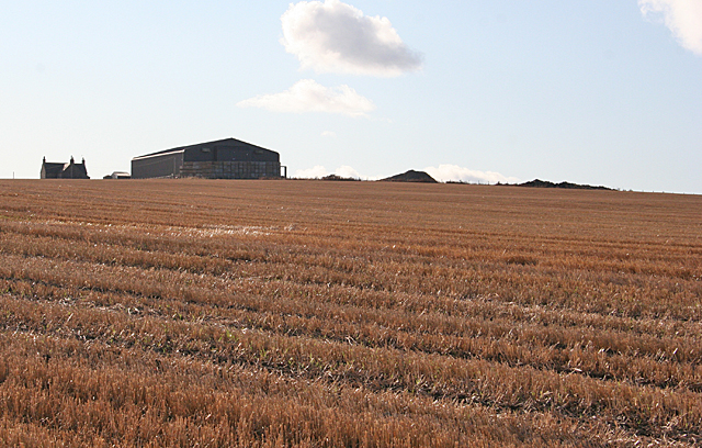
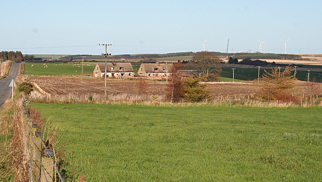
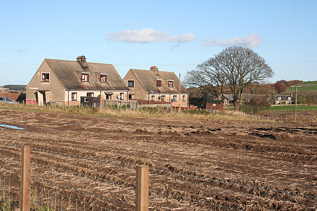
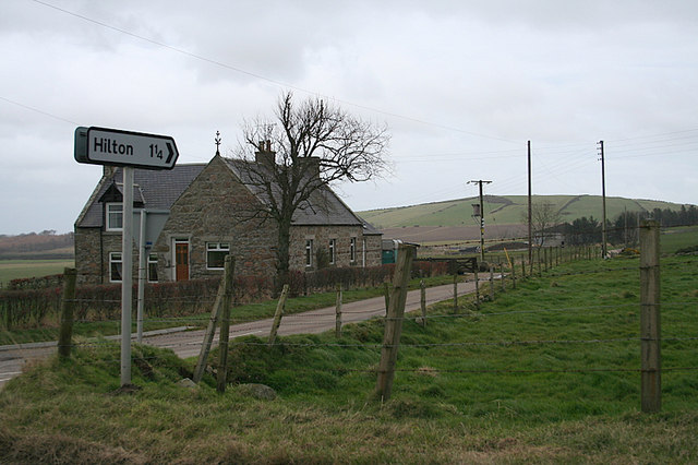
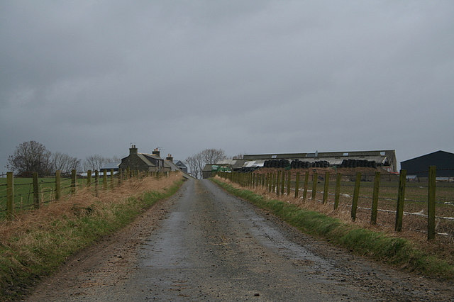
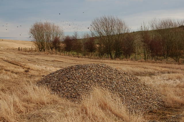
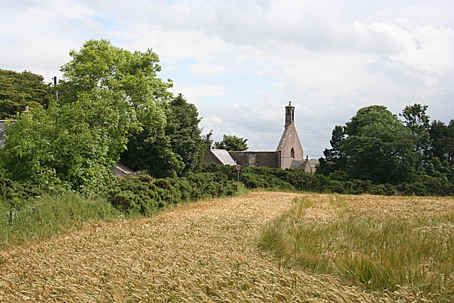
Hill of Culbirnie Images

Images are sourced within 2km of 57.632456/-2.6186925 or Grid Reference NJ6360. Thanks to Geograph Open Source API. All images are credited.

Curious cattle Near Ordens - coming to see why I was getting out of the car.
Curious cattle
Near Ordens - coming to see why I was getting out of the car.
Former railway bridge on the road to Baldavie This was the former Great North of Scotland branch to Banff.
Former railway bridge on the road to Baldavie
This was the former Great North of Scotland branch to Banff.
Former railway line to Banff One of the locations where the course of this branch is still evident, the shallow cutting having not been put to the plough.
Former railway line to Banff
One of the locations where the course of this branch is still evident, the shallow cutting having not been put to the plough.
The site of Ordens Halt The halt was in the whin bottom right and was a very basic halt on the Great North of Scotland Railway's branch to Banff. The line curved away right – indicated by the slightly lighter green of the crop - to run under the A95, the bridge being just visible to the right of the picture. Ordens is the steading in the centre of the view.
The site of Ordens Halt
The halt was in the whin bottom right and was a very basic halt on the Great North of Scotland Railway's branch to Banff. The line curved away right – indicated by the slightly lighter green of the crop - to run under the A95, the bridge being just visible to the right of the picture. Ordens is the steading in the centre of the view.
Hill of Culbirnie Trig Point Flush Bracket S6201
Culbirnie or Cowfords? The map says Cowfords, the sign says Culbirnie. In fact the same road gives access to Culbirnie Parks and Easter Culbirnie as well as to Cowfords. In the background is the Hill of Culbirnie.
Culbirnie or Cowfords?
The map says Cowfords, the sign says Culbirnie. In fact the same road gives access to Culbirnie Parks and Easter Culbirnie as well as to Cowfords. In the background is the Hill of Culbirnie.
Cottage at the Corner The cottage by the side of the minor road from Oldtown is not named on the maps.
Cottage at the Corner
The cottage by the side of the minor road from Oldtown is not named on the maps.
Cattle Court at Boghead A large modern building houses a large herd of Holstein Friesian dairy cattle.
Cattle Court at Boghead
A large modern building houses a large herd of Holstein Friesian dairy cattle.
Upper Blairmaud The large farm of Upper Blairmaud stands on a ridge which runs north to south across this square, partly hidden from here by the lie of the land. The green in the middle is the bank on one side of the Den of Denniston, a dip eroded by a headwater of the Burn of Boyndie.
Upper Blairmaud
The large farm of Upper Blairmaud stands on a ridge which runs north to south across this square, partly hidden from here by the lie of the land. The green in the middle is the bank on one side of the Den of Denniston, a dip eroded by a headwater of the Burn of Boyndie.
Looking towards Cairns of Ord The farm buildings are in the next square, but the stubble field is in this square.
Looking towards Cairns of Ord
The farm buildings are in the next square, but the stubble field is in this square.
Alehouseburn Cottages The relatively modern cottages stand just off the B9025, on the access road to Alehouseburn Farm. On the skyline is the Boyndie wind farm.
Alehouseburn Cottages
The relatively modern cottages stand just off the B9025, on the access road to Alehouseburn Farm. On the skyline is the Boyndie wind farm.
Alehouseburn Cottages The relatively modern cottages stand just off the B9025, on the access road to Alehouseburn Farm, which can be seen to the right. It is in an adjacent square.
Alehouseburn Cottages
The relatively modern cottages stand just off the B9025, on the access road to Alehouseburn Farm, which can be seen to the right. It is in an adjacent square.
Minor road near Ella
Cairns of Ord lane.
Cairns of Ord lane.
Oldtown of Ord
Oldtown of Ord
Quarry Croft in the distance
Ella Cottage Oddly named, this cottage stands by a crossroads on a gentle ridge. In the distance are the wind turbines of Boyndie Wind Farm.
Ella Cottage
Oddly named, this cottage stands by a crossroads on a gentle ridge. In the distance are the wind turbines of Boyndie Wind Farm.
Woodland at Lochagan A small patch of young mixed woodland. A pile of stones removed from the field in the foreground seems to be of smaller pebbles than are normally extracted.
Woodland at Lochagan
A small patch of young mixed woodland. A pile of stones removed from the field in the foreground seems to be of smaller pebbles than are normally extracted.
Show me another place!

Hill of Culbirnie is located at Grid Ref: NJ6360 (Lat: 57.632456, Lng: -2.6186925)

Unitary Authority: Aberdeenshire

Police Authority: North East

What 3 Words

///pulses.fats.blush. Near Whitehills, Aberdeenshire

Nearby Locations

Hill of Culbirnie

Related Wikis

Ordens railway station

Ordens railway station was opened in 1859, its services restricted and renamed Ordens Platform railway station by 1911 and finally Ordens Halt railway...
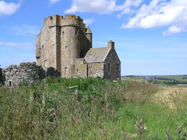
Inchdrewer Castle

Inchdrewer Castle is a 16th-century tower house in the parish of Banff, Aberdeenshire, in the north-east of Scotland. Situated on a slight rise 3.5 miles...

Tillynaught railway station

Tillynaught railway station or Tillynaught Junction was a junction railway station in what is now Aberdeenshire, Parish of Fordyce, 6 miles south-west...

Boyndie

Boyndie is a village in Aberdeenshire, Scotland. == History == Boyndie was once home to RAF Banff Strike Wing, which played a pivotal role in protecting...

Nearby Amenities

Located within 500m of 57.632456,-2.6186925
Hill of Culbirnie
Natural: peak
Lat/Long: 57.6323972/-2.6188009
Power: pole
Lat/Long: 57.6309553/-2.6109882
Power: pole
Lat/Long: 57.6314866/-2.6118771
Power: pole
Lat/Long: 57.6320154/-2.6127449
Power: pole
Lat/Long: 57.628738/-2.6215289
Power: pole
Lat/Long: 57.6291549/-2.6207634
Power: pole
Lat/Long: 57.6297215/-2.6229563
Power: pole
Lat/Long: 57.629456/-2.6219196
Power: pole
Lat/Long: 57.6290069/-2.6197815
Power: pole
Lat/Long: 57.6288663/-2.6187762
Power: pole
Lat/Long: 57.6292776/-2.6181295
Power: pole
Lat/Long: 57.6296763/-2.6175063
Power: pole
Lat/Long: 57.6300624/-2.6168831
Power: pole
Lat/Long: 57.6303846/-2.6160345
Power: pole
Lat/Long: 57.6307151/-2.6151585
Power: pole
Lat/Long: 57.6311505/-2.6143472
Power: pole
Lat/Long: 57.6315806/-2.6135574
Power: pole
Lat/Long: 57.6324682/-2.6119171
Power: pole
Lat/Long: 57.6328994/-2.6111352
Power: pole
Lat/Long: 57.6337009/-2.6111509
Power: pole
Lat/Long: 57.6340912/-2.6119504
Power: pole
Lat/Long: 57.6344841/-2.6127843
Power: pole
Lat/Long: 57.6349032/-2.6135976
Power: pole
Lat/Long: 57.6351319/-2.6140562
Power: pole
Lat/Long: 57.6354653/-2.6132834
Power: pole
Lat/Long: 57.632122/-2.6176219
Power: pole
Lat/Long: 57.6321818/-2.617471
Power: pole
Lat/Long: 57.6322437/-2.6172966
Power: pole
Lat/Long: 57.6323045/-2.6171143
Power: pole
Lat/Long: 57.6326245/-2.616254
Power: pole
Lat/Long: 57.633019/-2.6152251
Power: pole
Lat/Long: 57.6334282/-2.6141649
Power: pole
Lat/Long: 57.6338268/-2.613093
Power: pole
Lat/Long: 57.6342496/-2.6120504
Generator Method: wind_turbine
Generator Output Electricity: yes
Generator Source: wind
Generator Type: horizontal_axis
Power: generator
Lat/Long: 57.63115/-2.6203921
Generator Method: wind_turbine
Generator Output Electricity: yes
Generator Source: wind
Generator Type: horizontal_axis
Power: generator
Lat/Long: 57.6355855/-2.6188177
The data included in this document is from www.openstreetmap.org. The data is made available under ODbL.

Have you been to Hill of Culbirnie?

Leave your review of Hill of Culbirnie below (or comments, questions and feedback).