Well Hill
Hill, Mountain in East Lothian
Scotland
Well Hill
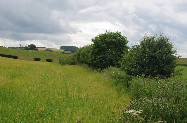
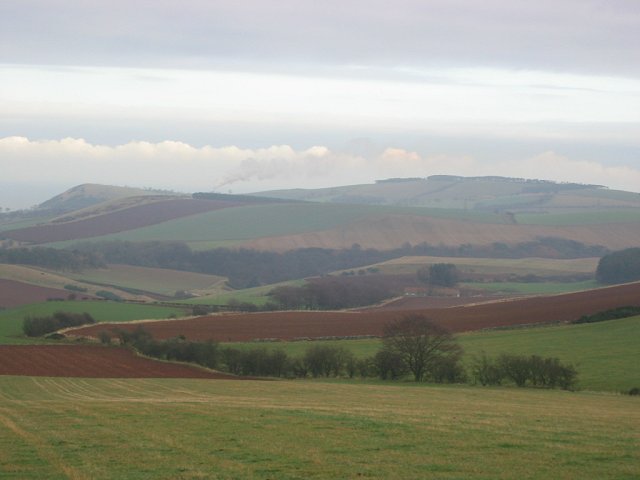
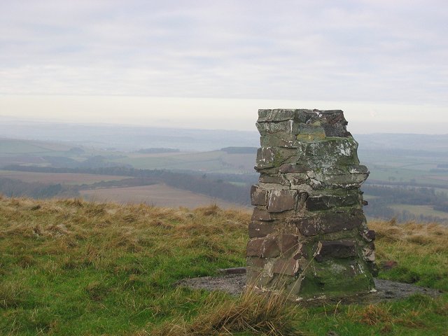
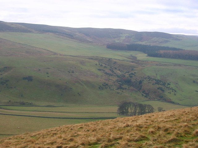
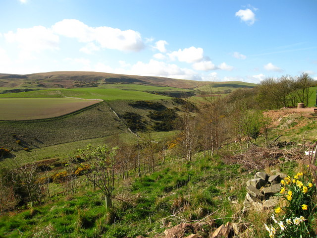
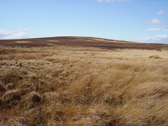
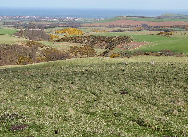
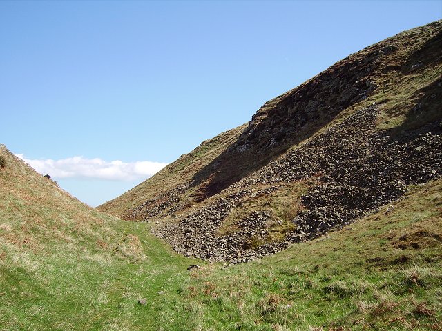
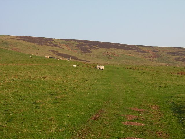
Well Hill is a prominent natural landmark located in East Lothian, Scotland. Situated approximately 7 miles south of the county town of Haddington, this hill stands at an elevation of 184 meters (604 feet) above sea level. It is known for its distinctive conical shape and offers breathtaking panoramic views of the surrounding countryside.
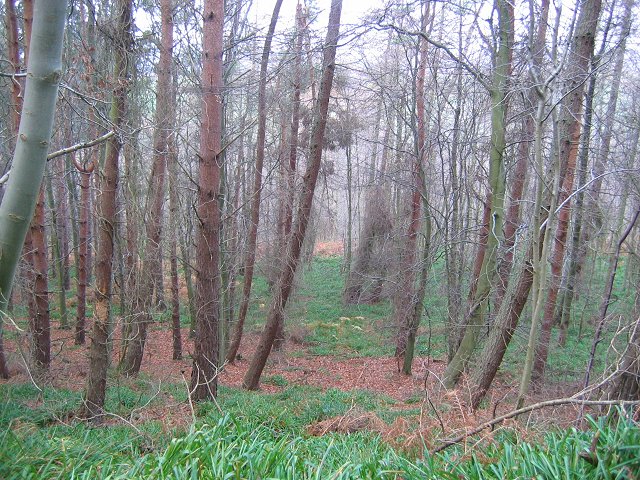
Covered in lush green vegetation, Well Hill is home to a diverse range of flora and fauna, making it an appealing destination for nature enthusiasts. The area is particularly abundant in heather and gorse, which bloom in vibrant colors during the summer months. The hill is also a popular spot for birdwatching, with several species of birds, including pheasants, skylarks, and kestrels, frequently spotted in the vicinity.
Well Hill has a long history and holds archaeological significance. There are remnants of ancient settlements and burial grounds nearby, indicating human activity in the area dating back thousands of years. It is believed that the hill provided an advantageous vantage point for early inhabitants, offering protection and a strategic viewpoint.
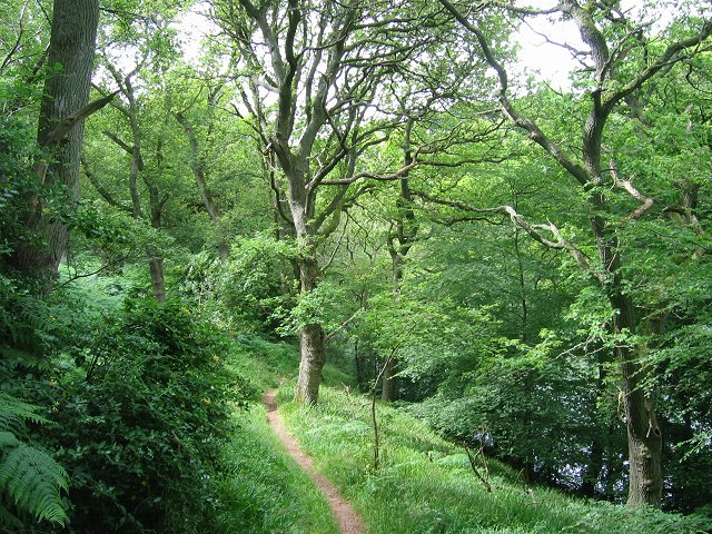
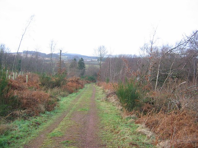
Access to Well Hill is relatively easy, with various footpaths and trails leading to its summit. The most popular route starts from the nearby village of Athelstaneford, known for its association with the Saltire, the national flag of Scotland. Visitors can enjoy a leisurely hike through picturesque countryside, eventually reaching the summit and being rewarded with stunning views across East Lothian and beyond.
Overall, Well Hill is a captivating natural feature that offers both recreational and historical value to locals and tourists alike.
If you have any feedback on the listing, please let us know in the comments section below.
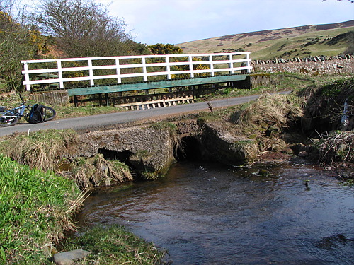
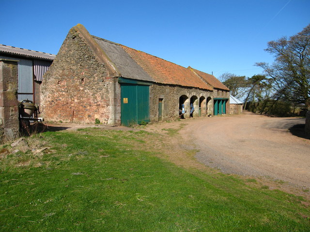
Well Hill Images
Images are sourced within 2km of 55.941238/-2.5914854 or Grid Reference NT6372. Thanks to Geograph Open Source API. All images are credited.
Well Hill is located at Grid Ref: NT6372 (Lat: 55.941238, Lng: -2.5914854)
Unitary Authority: East Lothian
Police Authority: The Lothians and Scottish Borders
What 3 Words
///wrenching.snack.films. Near East Linton, East Lothian
Nearby Locations
Related Wikis

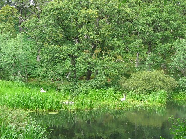
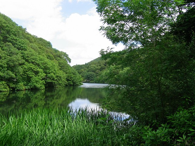
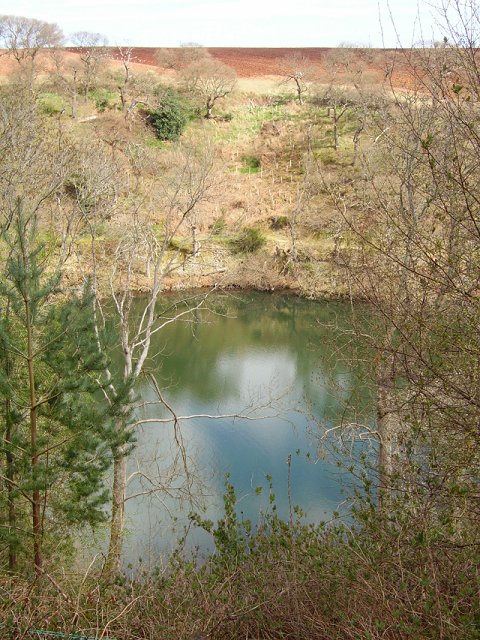
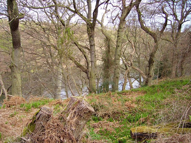
Pressmennan Lake
Pressmennan Lake is a lake in East Lothian in Scotland. It is an artificial reservoir constructed in 1819 by a Mr Nesbit who dammed the streams flowing...

Stenton
Stenton (Scots: Staneton) is a parish and village in East Lothian, Scotland. It is bounded on the north by parts of the parishes of Prestonkirk and Dunbar...

Whittingehame
Whittingehame is a parish with a small village in East Lothian, Scotland, about halfway between Haddington and Dunbar, and near East Linton. The area is...

Whittingehame Tower
Whittingehame Tower, or Whittingehame Castle, is a fifteenth-century tower house about 2.5 miles (4.0 km) south of East Linton, on the west bank of Whittinghame...
Nearby Amenities
Located within 500m of 55.941238,-2.5914854Have you been to Well Hill?
Leave your review of Well Hill below (or comments, questions and feedback).