Tape Hill

Hill, Mountain in Somerset Mendip

England

Tape Hill

Direction Sign – Signpost on Turner's Court Lane, Emborough Located west of Turner's Court Lane and west of Portway Bridge in Emborough parish. 4 arms and pyramid finial. Google Earth shows that the Emborough / Chewton Mendip arm and the finial were missing in 2011.

Milestone Society National ID: SO_ST6250
Direction Sign – Signpost on Turner's Court Lane, Emborough Credit: R Raynsford

Tape Hill is a prominent hill located in the county of Somerset, England. Situated near the village of Croscombe, it forms part of the southern edge of the Mendip Hills, a range known for its natural beauty and diverse wildlife. Rising to an elevation of approximately 250 meters (820 feet), Tape Hill offers stunning panoramic views of the surrounding countryside.

The hill takes its name from the ancient practice of "taping," which involved marking the boundaries of land using long strips of fabric or tape. This historical significance adds to the allure of Tape Hill, attracting both locals and visitors alike. The hill is accessible via footpaths and bridleways, making it a popular destination for hikers, walkers, and nature enthusiasts.

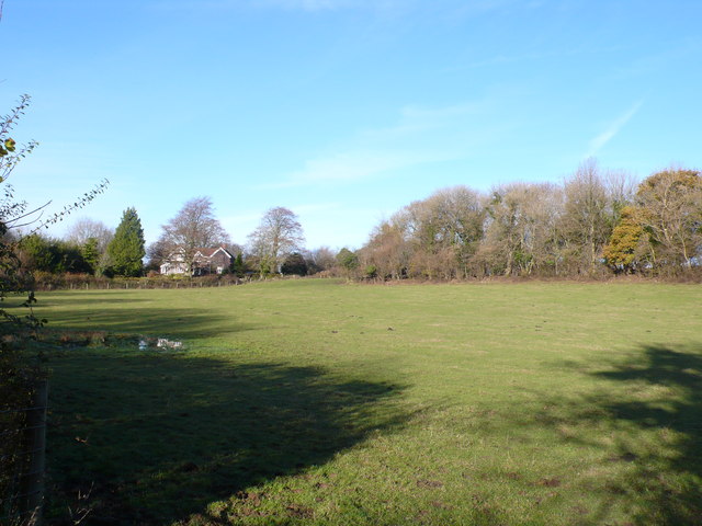
Tape Hill is characterized by its gentle slopes and lush green meadows. It is adorned with a variety of flora and fauna, including wildflowers, hedgerows, and grazing livestock. The landscape is dotted with ancient trees, providing shade and shelter for wildlife such as birds, squirrels, and rabbits.

The hill offers a tranquil and peaceful atmosphere, making it an ideal spot for picnics, relaxation, and photography. On clear days, the hill provides breathtaking views of the Somerset Levels, Glastonbury Tor, and the Bristol Channel.

Tape Hill is not only a natural treasure but also a site of historical interest. Its cultural and natural significance make it a must-visit destination for those seeking to immerse themselves in the beauty of the Somerset countryside.

If you have any feedback on the listing, please let us know in the comments section below.
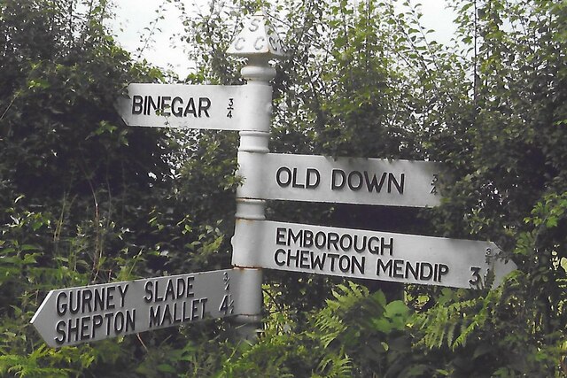
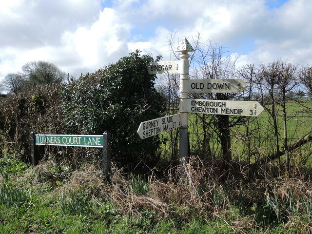
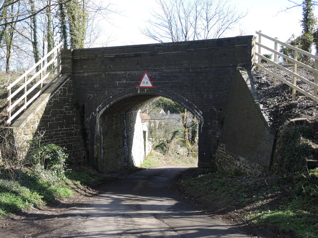
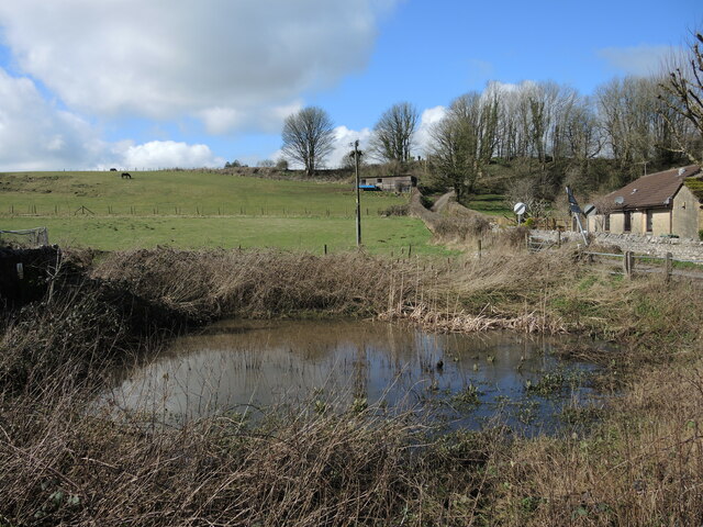
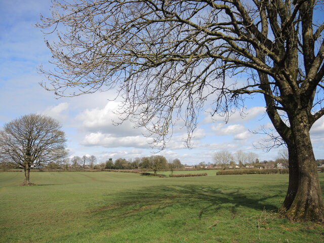
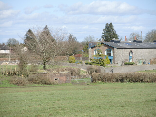
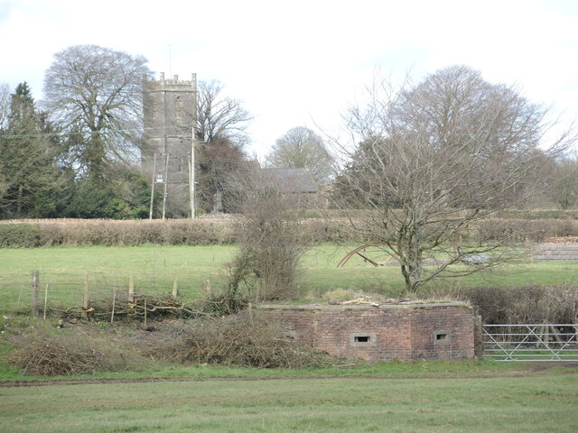
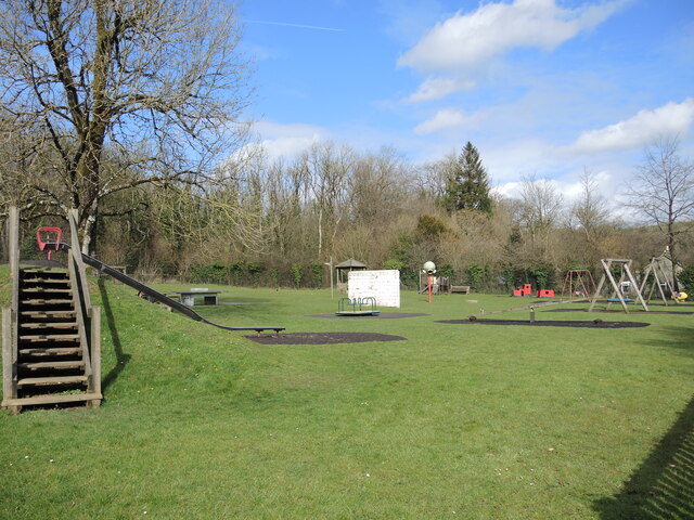
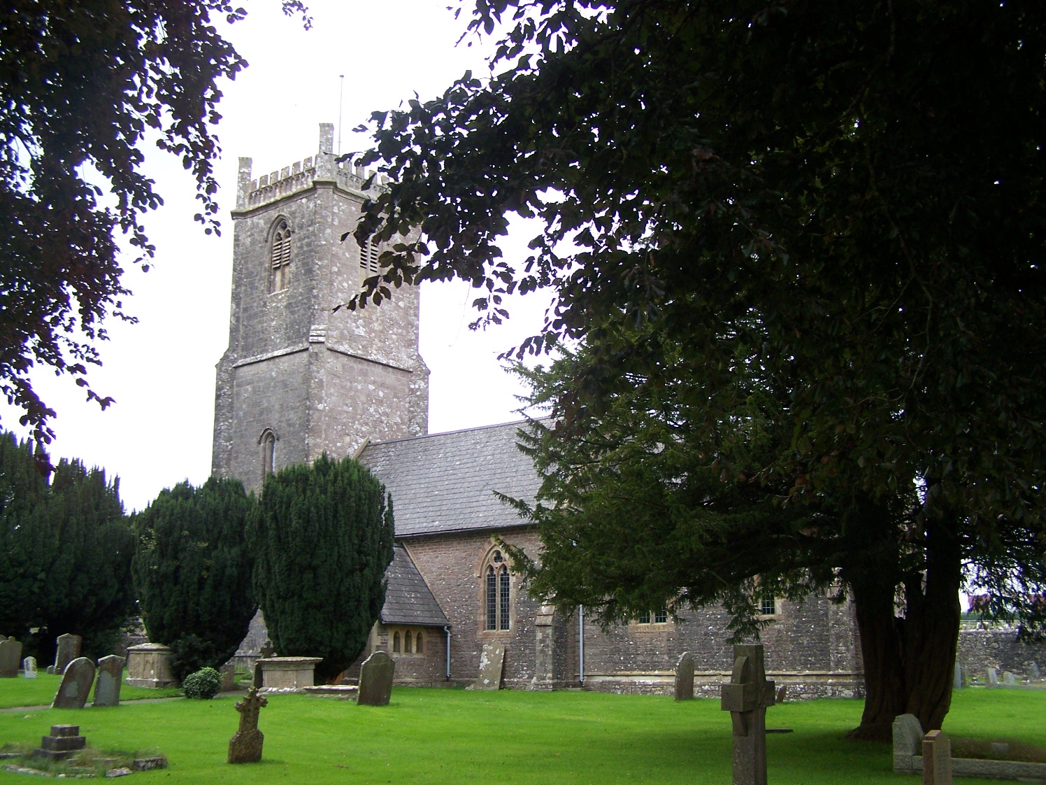
Tape Hill Images

Images are sourced within 2km of 51.238862/-2.5297413 or Grid Reference ST6348. Thanks to Geograph Open Source API. All images are credited.

Direction Sign – Signpost on Turner's Court Lane, Emborough Located west of Turner's Court Lane and west of Portway Bridge in Emborough parish. 4 arms and pyramid finial. Google Earth shows that the Emborough / Chewton Mendip arm and the finial were missing in 2011.

Milestone Society National ID: SO_ST6250
Direction Sign – Signpost on Turner's Court Lane, Emborough
Located west of Turner's Court Lane and west of Portway Bridge in Emborough parish. 4 arms and pyramid finial. Google Earth shows that the Emborough / Chewton Mendip arm and the finial were missing in 2011. Milestone Society National ID: SO_ST6250
Patterns on Portway Bridge The blocks, shadows and a little graffiti on Portway Bridge.
Patterns on Portway Bridge
The blocks, shadows and a little graffiti on Portway Bridge.
Signpost on Turner's Court Lane Cast arms and embossed lettering on a traditional Somerset post.
Signpost on Turner's Court Lane
Cast arms and embossed lettering on a traditional Somerset post.
Portway Bridge, open to the sky The old Somerset and Dorset Joint Railway used to span it, but the tracks were ripped up after the line closed in 1965. See <a href="https://www.geograph.org.uk/photo/7146829">ST6250 : Portway Bridge benchmark</a> for a benchmark on the corner.
Portway Bridge, open to the sky
The old Somerset and Dorset Joint Railway used to span it, but the tracks were ripped up after the line closed in 1965. See ST6250 : Portway Bridge benchmark for a benchmark on the corner.
Portway Bridge benchmark A post-war cutmark, as listed in the Benchmark Database: <span class="nowrap"><a title="https://www.bench-marks.org.uk/bm161728" rel="nofollow ugc noopener" href="https://www.bench-marks.org.uk/bm161728">Link</a><img style="margin-left:2px;" alt="External link" title="External link - shift click to open in new window" src="https://s1.geograph.org.uk/img/external.png" width="10" height="10"/></span> . The old railway bridge is now minus the tracks - see <a href="https://www.geograph.org.uk/photo/7146828">ST6250 : Portway Bridge, open to the sky</a>.
Portway Bridge benchmark
A post-war cutmark, as listed in the Benchmark Database: LinkExternal link . The old railway bridge is now minus the tracks - see ST6250 : Portway Bridge, open to the sky.
Fields at Portway Bridge The bridge refers to an old bridge over the now dismantled railway that use to run through Binegar which was part of the Somerset and Dorset Joint Railway. Portway Lane, Turners  Court Lane and Kings lane all meet at the bridge. Portway lane is just in front of the house in the middle of the image.
Fields at Portway Bridge
The bridge refers to an old bridge over the now dismantled railway that use to run through Binegar which was part of the Somerset and Dorset Joint Railway. Portway Lane, Turners Court Lane and Kings lane all meet at the bridge. Portway lane is just in front of the house in the middle of the image.
A bus stop casualty The post has come down. Well, it had been leaning for a while.
A bus stop casualty
The post has come down. Well, it had been leaning for a while.
A mixture of masonry The old railway bridge in Binegar has been dismantled but the strange mixture of construction shows.
A mixture of masonry
The old railway bridge in Binegar has been dismantled but the strange mixture of construction shows.
Footpaths off Tellis Lane Two routes to Turner's Court Lane. A small flight of stone steps are a nice touch.
Footpaths off Tellis Lane
Two routes to Turner's Court Lane. A small flight of stone steps are a nice touch.
Tellis Lane bridge The rails have been ripped up ages ago. Note the height sign is imperial.
Tellis Lane bridge
The rails have been ripped up ages ago. Note the height sign is imperial.
Pond at the end of Tellis Lane A small feature close to the junction with the A37.
Pond at the end of Tellis Lane
A small feature close to the junction with the A37.
Hogget burgers on the menu A roadside advert, with the uncommon offering of hogget - a sheep in its second year, between lamb and mutton.
Hogget burgers on the menu
A roadside advert, with the uncommon offering of hogget - a sheep in its second year, between lamb and mutton.
You wouldn't know it was here What is today a pretty typical farm field had a recent and much different appearance. Where the footpaths meet under the tree was up until the 1960s a Somerset and Dorset Joint Railway line. That went under Beeching and the land has returned to a green and peaceful field.
You wouldn't know it was here
What is today a pretty typical farm field had a recent and much different appearance. Where the footpaths meet under the tree was up until the 1960s a Somerset and Dorset Joint Railway line. That went under Beeching and the land has returned to a green and peaceful field.
Relics of a lost railway The old Somerset and Dorset Joint Railway used to run through this part of the world near Binegar. The long building was the old goods shed (now private residence) and the land to the left of shot contained the sidings approaching Binegar Station. As war broke out, the lines were protected by a series of defensive pillboxes, one of which is here.
Relics of a lost railway
The old Somerset and Dorset Joint Railway used to run through this part of the world near Binegar. The long building was the old goods shed (now private residence) and the land to the left of shot contained the sidings approaching Binegar Station. As war broke out, the lines were protected by a series of defensive pillboxes, one of which is here.
Praise the Lord and pass the ammunition Binegar was protected by pillboxes along the old railway line, one of which is here in the field. Just beyond it was the route of the line as it approached Binegar station. The tower of Holy Trinity lies at a distance.
Praise the Lord and pass the ammunition
Binegar was protected by pillboxes along the old railway line, one of which is here in the field. Just beyond it was the route of the line as it approached Binegar station. The tower of Holy Trinity lies at a distance.
Snowdrops on the footbridge Spring appears in the hedge by the footpath. They must have a good shelter there.
Snowdrops on the footbridge
Spring appears in the hedge by the footpath. They must have a good shelter there.
Gurney Slade play area Located beside the village hall, the open space is well stocked with equipment and fresh air. The site is just on the fringe of the old quarry, now landscaped; indeed, in the past a tramline would have ended just at the steps to the left.
Gurney Slade play area
Located beside the village hall, the open space is well stocked with equipment and fresh air. The site is just on the fringe of the old quarry, now landscaped; indeed, in the past a tramline would have ended just at the steps to the left.
George Inn, Gurney Slade Public house on the Aa37
George Inn, Gurney Slade
Public house on the Aa37
Show me another place!

Tape Hill is located at Grid Ref: ST6348 (Lat: 51.238862, Lng: -2.5297413)

Administrative County: Somerset

District: Mendip

Police Authority: Avon and Somerset

What 3 Words

///whisker.generally.trees. Near Chilcompton, Somerset

Related Wikis

Ashwick Court

Ashwick Court is Grade II listed house on Heckley Lane northwest of Ashwick, in Mendip district, eastern Somerset, England, adjacent to the Church of St...

Gurney Slade quarry

Gurney Slade quarry, grid reference ST626497 is a limestone quarry near Gurney Slade between Binegar and Holcombe, on the Mendip Hills, Somerset, England...

Ashwick

Ashwick is a village in Somerset, England, about three miles north of Shepton Mallet and seven miles east from Wells. It has also been a civil parish since...

Blacker's Hill

Blacker's Hill is an Iron Age hill fort at Chilcompton, 4.5 kilometres (3 mi) south west of Radstock, Somerset, England. It has been designated as a Scheduled...

Binegar railway station

Binegar railway station was a station on the Somerset and Dorset Joint Railway in the county of Somerset in England. Opened on 20 July 1874, the station...

Binegar

Binegar is a small village and civil parish in Somerset, England. It is located on the A37, 4 miles (6.4 km) east of Wells, between Shepton Mallet and...

Church of the Holy Trinity, Binegar

The Anglican Church of the Holy Trinity, Binegar, Somerset, England is Norman but has been rebuilt and restored several times since. It is a Grade II*...

Emborough Quarries

Emborough Quarries (grid reference ST623505) is a 1 hectare (2.5 acre) geological Site of Special Scientific Interest at Emborough in the Mendip Hills...

Nearby Amenities

Located within 500m of 51.238862,-2.5297413
Barrier: stile
Foot: yes
Lat/Long: 51.241011/-2.5358734
The data included in this document is from www.openstreetmap.org. The data is made available under ODbL.

Have you been to Tape Hill?

Leave your review of Tape Hill below (or comments, questions and feedback).