Harper Hill
Hill, Mountain in Banffshire
Scotland
Harper Hill
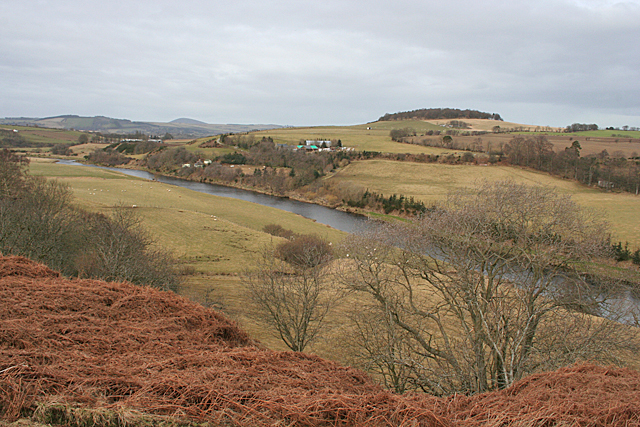
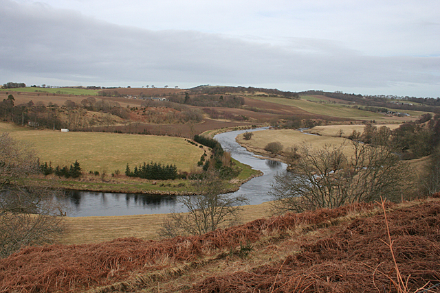
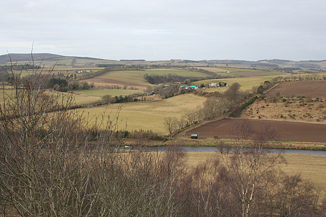
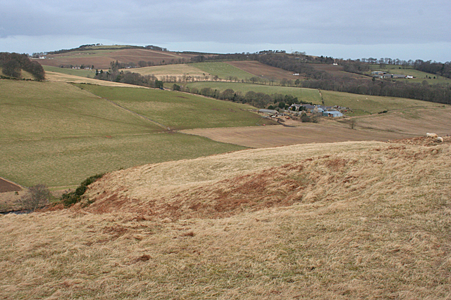
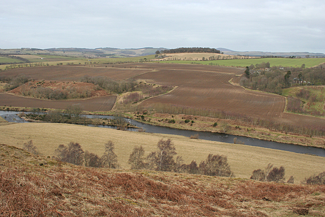
Harper Hill, located in Banffshire, Scotland, is a prominent hill/mountain that offers stunning views and a variety of outdoor activities for nature enthusiasts. Sitting at an elevation of approximately 600 meters (1968 feet), it is a popular destination for hikers, climbers, and photographers.
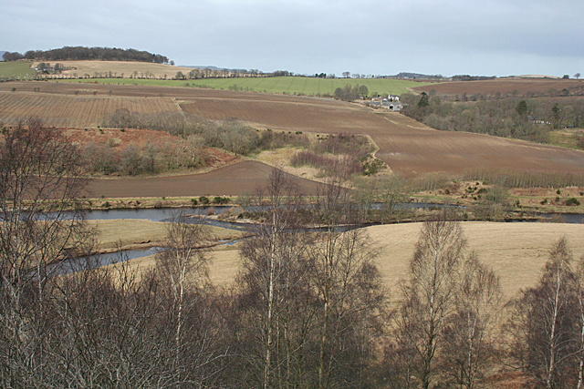
The hill is known for its distinctive shape, featuring a gently sloping ascent that becomes steeper towards the summit. The terrain is mostly rocky and covered in heather, providing a beautiful contrast of colors throughout the year. The hill is part of the Cairngorms National Park, which is renowned for its rugged landscapes and abundant wildlife.
Hikers and climbers will find a range of routes available, catering to different skill levels. The ascent can be challenging in some sections, requiring proper footwear and equipment. However, the effort is rewarded with breathtaking panoramic views from the top, including vistas of the surrounding valleys, lochs, and nearby mountains.
Harper Hill is also known for its diverse flora and fauna. The hill supports a variety of plant species, including wildflowers, mosses, and lichens. As for wildlife, visitors may spot red deer, mountain hares, and a variety of bird species, including golden eagles and ptarmigans.
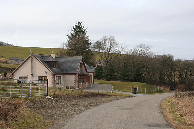
For those seeking a quieter experience, Harper Hill offers peaceful walks and picnicking spots along its lower slopes. Its accessibility and proximity to nearby towns and villages make it a popular destination for day trips or longer stays in the area.
Overall, Harper Hill in Banffshire is a captivating natural landmark that offers both adventure and tranquility, making it an ideal destination for outdoor enthusiasts and nature lovers alike.
If you have any feedback on the listing, please let us know in the comments section below.
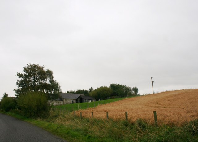
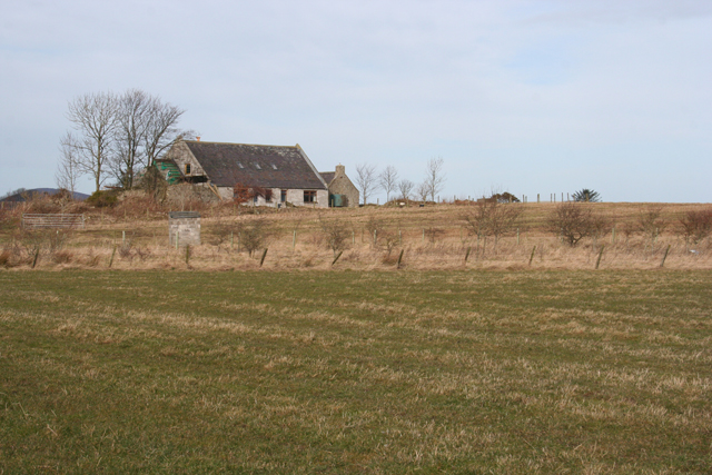
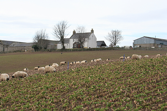
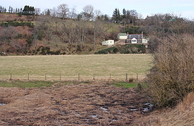
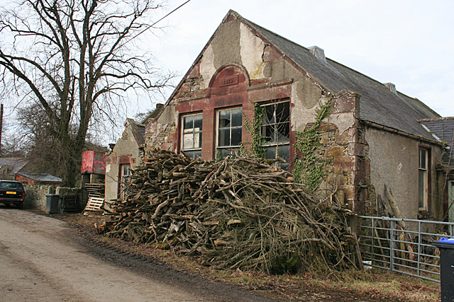
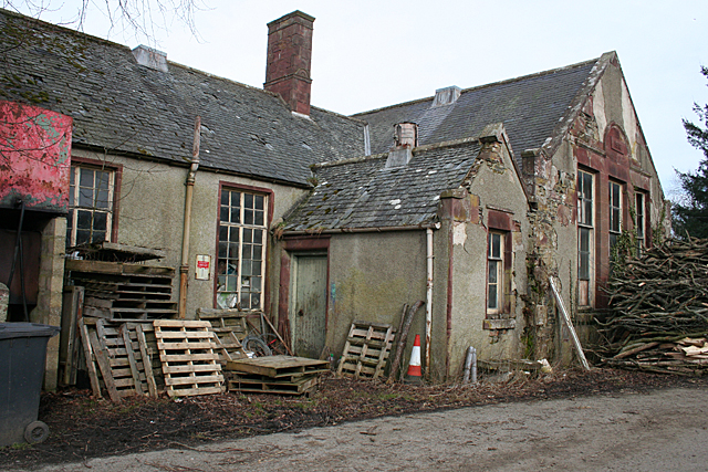
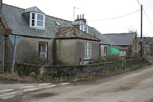
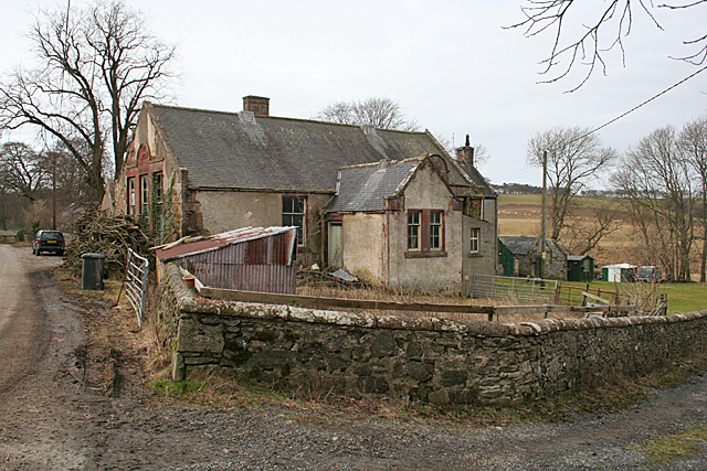
Harper Hill Images
Images are sourced within 2km of 57.522955/-2.6211608 or Grid Reference NJ6248. Thanks to Geograph Open Source API. All images are credited.


Harper Hill is located at Grid Ref: NJ6248 (Lat: 57.522955, Lng: -2.6211608)
Unitary Authority: Aberdeenshire
Police Authority: North East
What 3 Words
///arming.navy.thud. Near Aberchirder, Aberdeenshire
Nearby Locations
Related Wikis

Inverkeithny
Inverkeithny is a village in the Formartine area of Aberdeenshire, Scotland. The village lies near where the Burn of Forgue flows into the River Deveron...

Yonder Bognie
Yonder Bognie is a stone circle in Aberdeenshire, Scotland. It is located in an agricultural field under private ownership and is a scheduled monument...

Aberchirder
Aberchirder (Scots: Fogieloan, Scottish Gaelic: Obar Chiardair) known locally as Foggieloan or Foggie, is a village in Aberdeenshire, Scotland, situated...
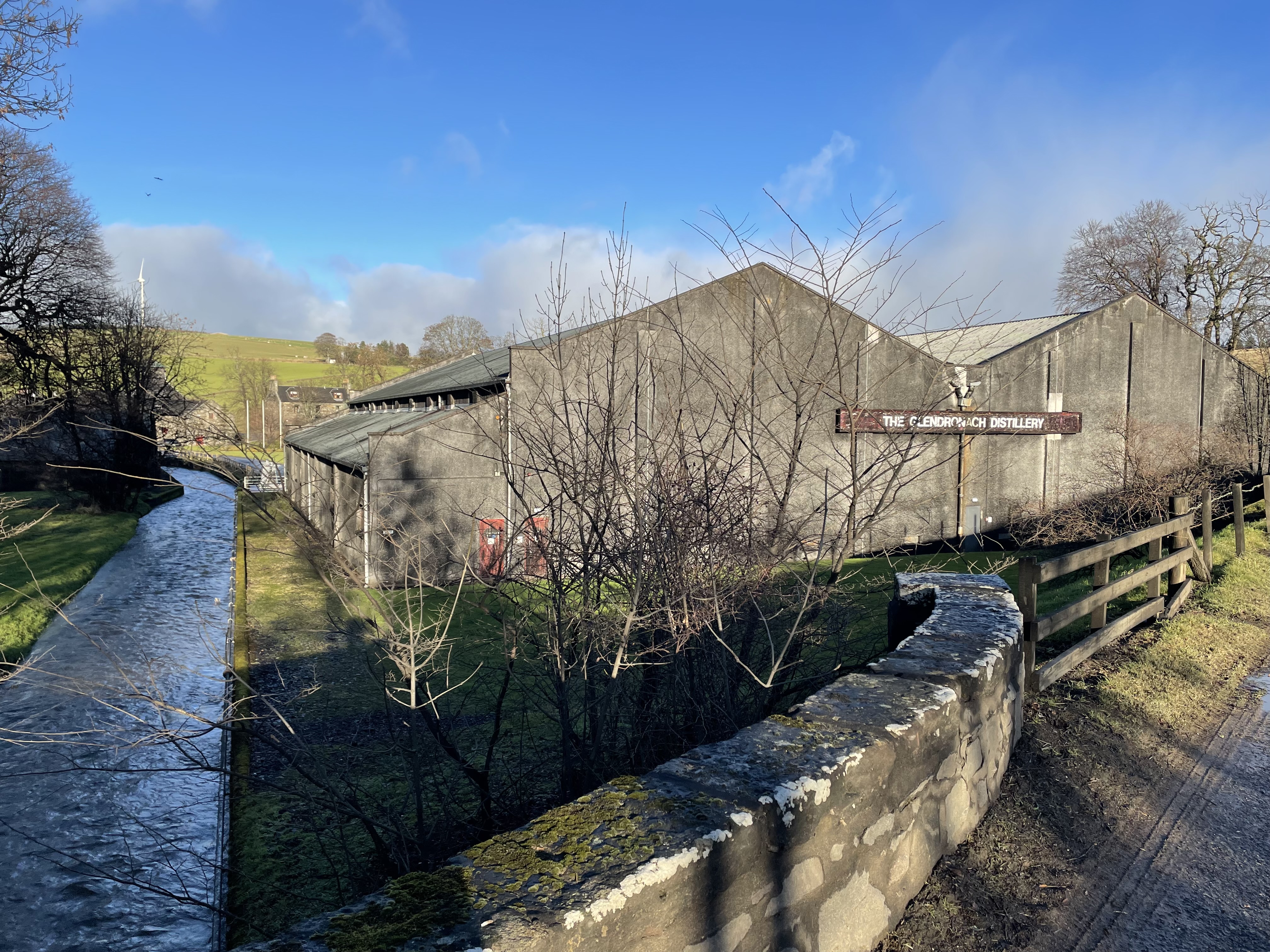
Glendronach distillery
Glendronach distillery is a Scottish whisky distillery located near Forgue, by Huntly, Aberdeenshire, in the Highland whisky district. It was owned by...
Nearby Amenities
Located within 500m of 57.522955,-2.6211608Have you been to Harper Hill?
Leave your review of Harper Hill below (or comments, questions and feedback).