Horse Hillock

Hill, Mountain in Aberdeenshire

Scotland

Horse Hillock

Shannel SSSI The SSSI at Shannel includes grassland and open woodland.
Shannel SSSI Credit: Anne Burgess

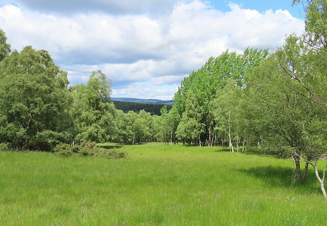
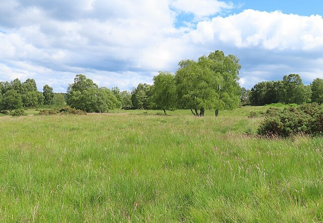
Horse Hillock is a prominent hill located in Aberdeenshire, Scotland. Rising to an elevation of approximately 482 meters (1,583 feet), it is often referred to as a hill rather than a mountain due to its relatively modest height. Despite this, Horse Hillock offers breathtaking panoramic views of the surrounding countryside, making it a popular destination for hikers, nature enthusiasts, and photographers.

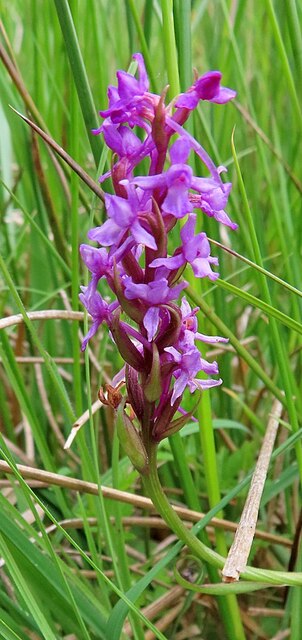
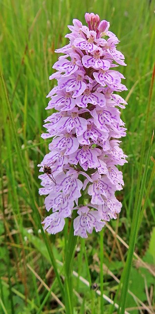
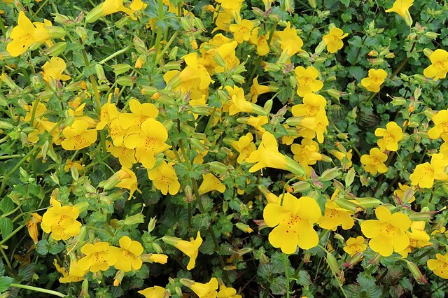
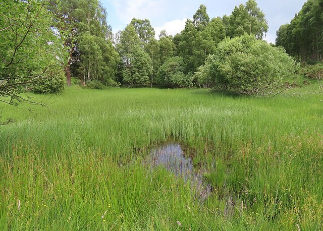
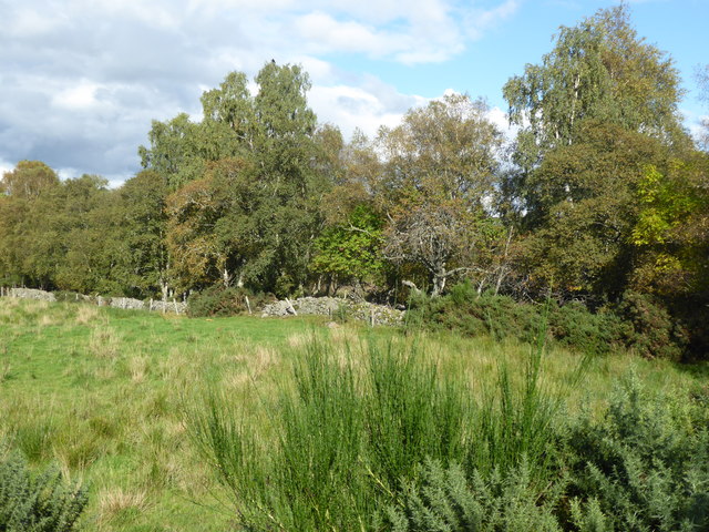
Situated in the eastern part of Aberdeenshire, Horse Hillock is part of the larger foothills of the Grampian Mountains. It is characterized by its gentle slopes, covered with heather and grasses, which make for a relatively easy ascent. The hill is also home to a diverse array of wildlife, including various species of birds, small mammals, and insects.

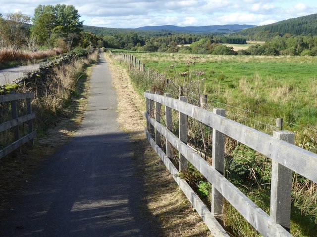
The summit of Horse Hillock provides stunning vistas of the surrounding landscape, with rolling hills, farmland, and forests stretching out as far as the eye can see. On a clear day, it is even possible to catch glimpses of the North Sea in the distance.

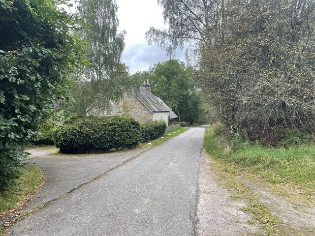
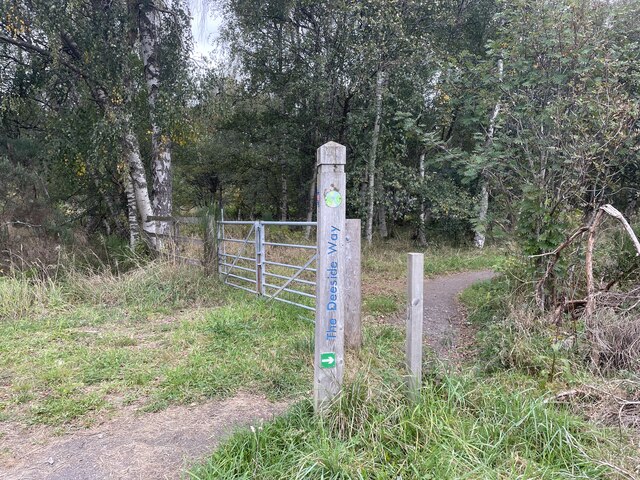
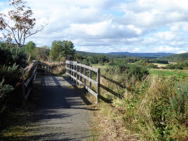
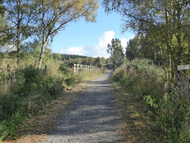
Access to Horse Hillock is fairly straightforward, with a well-marked trail leading up to the summit. The hill is a popular destination for locals and visitors alike, offering a peaceful and serene natural environment to explore. Whether it is a leisurely walk or a more challenging hike, Horse Hillock provides a wonderful opportunity to experience the beauty of Aberdeenshire's countryside.

If you have any feedback on the listing, please let us know in the comments section below.

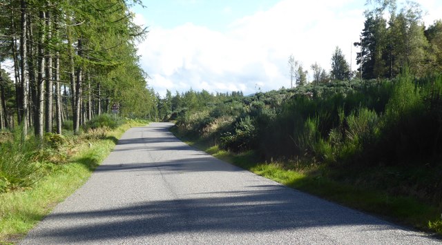
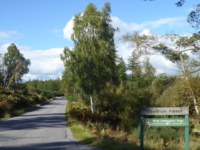
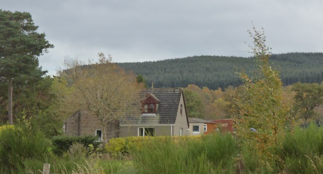
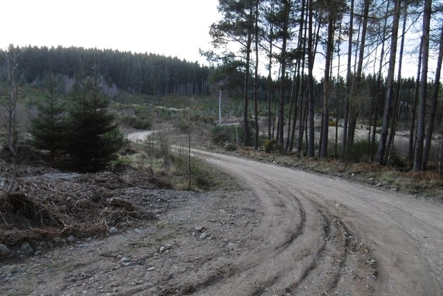
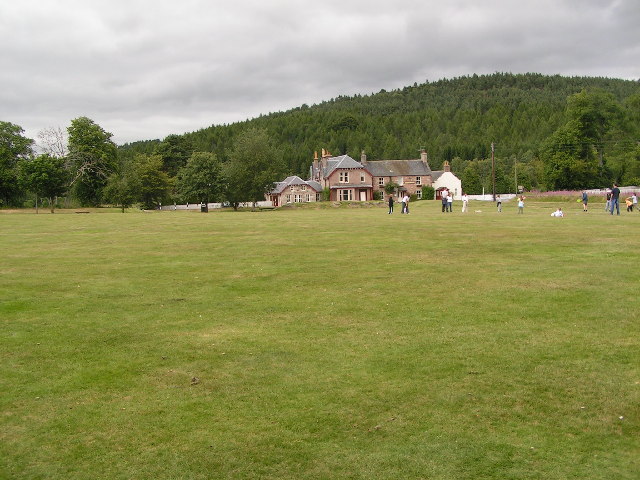
Horse Hillock Images

Images are sourced within 2km of 57.052213/-2.6219812 or Grid Reference NO6295. Thanks to Geograph Open Source API. All images are credited.

Shannel SSSI The SSSI at Shannel includes grassland and open woodland.
Shannel SSSI
The SSSI at Shannel includes grassland and open woodland.
Open Woodland in Shannel SSSI Grassland and native broadleaved trees on part of the Site of Special Scientific Interest at Shannel.
Open Woodland in Shannel SSSI
Grassland and native broadleaved trees on part of the Site of Special Scientific Interest at Shannel.
Fragrant Orchid (Gymnadenia conopsea) There are many of these in the grassy parts of the Shannel Site of Scientific Interest.
Fragrant Orchid (Gymnadenia conopsea)
There are many of these in the grassy parts of the Shannel Site of Scientific Interest.
Heath Spotted-orchid (Dactylorhiza maculata) One of many fine spikes found in the grassy parts of Shannel SSSI.
Heath Spotted-orchid (Dactylorhiza maculata)
One of many fine spikes found in the grassy parts of Shannel SSSI.
Grassland near Tillenteach This are of grassland and scattered trees is part of the Shannel SSSI.
Grassland near Tillenteach
This are of grassland and scattered trees is part of the Shannel SSSI.
Monkeyflower (Mimulus guttatus) A well-established non-native that likes damp places.
Monkeyflower (Mimulus guttatus)
A well-established non-native that likes damp places.
Disappearing Pond This pond near Tillenteach is becoming overgrown with vegetation, and it may not be long before it disappears altogether.
Disappearing Pond
This pond near Tillenteach is becoming overgrown with vegetation, and it may not be long before it disappears altogether.
Old Dyke with Moss An old field dyke, still on the maps, on the lower slope near Shannel.
Old Dyke with Moss
An old field dyke, still on the maps, on the lower slope near Shannel.
Back roads of Aberdeenshire
The Deeside Way
The Deeside Way
Cycle path bridge Over the Burn of Grennoch; a tributary of the Burn of Cattie, and thence the River Dee.
Cycle path bridge
Over the Burn of Grennoch; a tributary of the Burn of Cattie, and thence the River Dee.
Western edge of Slewdrum Forest As seen from the cycle path bridge over the Burn of Grennoch.
Western edge of Slewdrum Forest
As seen from the cycle path bridge over the Burn of Grennoch.
Cycle path downhill towards Potarch From a bridge over the Burn of Grennoch.
Cycle path downhill towards Potarch
From a bridge over the Burn of Grennoch.
Cycle path uphill towards Shooting Greens pass From a bridge over the Burn of Grennoch.
Cycle path uphill towards Shooting Greens pass
From a bridge over the Burn of Grennoch.
Near summit of an Old Military Road (188m asl) Passing between Glack's Hill (276m) and Muckle Ord (220m).
Near summit of an Old Military Road (188m asl)
Passing between Glack's Hill (276m) and Muckle Ord (220m).
Access to Slewdrum Forest car park From the Old Military Road at Shooting Greens.
Access to Slewdrum Forest car park
From the Old Military Road at Shooting Greens.
Belhangie cottage As seen by the minor road from Potarch to Tillygarmond.
Belhangie cottage
As seen by the minor road from Potarch to Tillygarmond.
Logging road, Blackhall Forest Lots of place names and names of orienteering maps here. The whole block from the Scolty car park to the Military Road goes by Blackhall Forest. Much of that is Wood of Goauch or Goauch Wood.  In this picture the road leaves the Forestry Commission estate and the community woodland(bought from the FC) is known as Slewdrum Forest.  Orienteering maps of the western end of the forest are often titled Shooting Greens, events here are usually put on by Mar OC, while Grampian have the eastern end, often titled Scolty.
Logging road, Blackhall Forest
Lots of place names and names of orienteering maps here. The whole block from the Scolty car park to the Military Road goes by Blackhall Forest. Much of that is Wood of Goauch or Goauch Wood. In this picture the road leaves the Forestry Commission estate and the community woodland(bought from the FC) is known as Slewdrum Forest. Orienteering maps of the western end of the forest are often titled Shooting Greens, events here are usually put on by Mar OC, while Grampian have the eastern end, often titled Scolty.
Show me another place!

Horse Hillock is located at Grid Ref: NO6295 (Lat: 57.052213, Lng: -2.6219812)

Unitary Authority: Aberdeenshire

Police Authority: North East

What 3 Words

///nipping.resettle.salmon. Near Torphins, Aberdeenshire

Related Wikis

Mounth

The Mounth ( MUNTH) is the broad upland in northeast Scotland between the Highland Boundary and the River Dee, at the eastern end of the Grampians....

Potarch

Potarch ( pot-ARKH) is a hamlet in Aberdeenshire, Scotland, with a bridge across the River Dee. It is a popular location with tourists and day-trippers...

Dinnie Stones

The Dinnie Stones (also called Stanes or Steens) are a pair of Scottish lifting stones located in Potarch, Aberdeenshire. They were made famous by strongman...

Corsedardar Hill

Corsedardar Hill is a mountain landform in the Grampian Mountains of Aberdeenshire, Scotland. This hill is located in the Lower Deeside region within the...

Nearby Amenities

Located within 500m of 57.052213,-2.6219812
Little Ord
Natural: peak
Lat/Long: 57.048565/-2.6203026
Power: pole
Lat/Long: 57.0485912/-2.6268895
The data included in this document is from www.openstreetmap.org. The data is made available under ODbL.

Have you been to Horse Hillock?

Leave your review of Horse Hillock below (or comments, questions and feedback).