Black Law

Hill, Mountain in Roxburghshire

Scotland

Black Law

Swinnie Moor
Swinnie Moor Credit: Alex McGregor

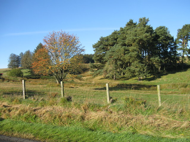
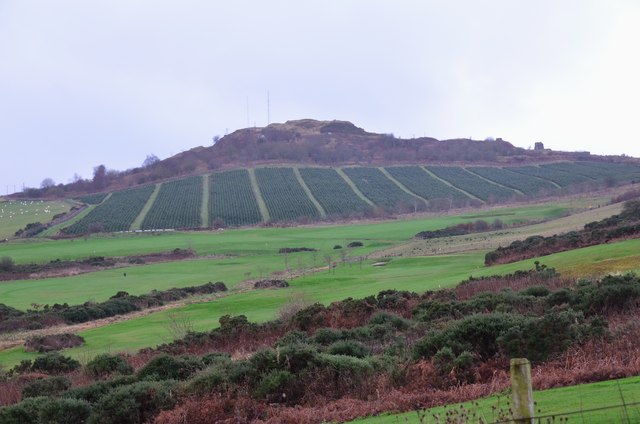
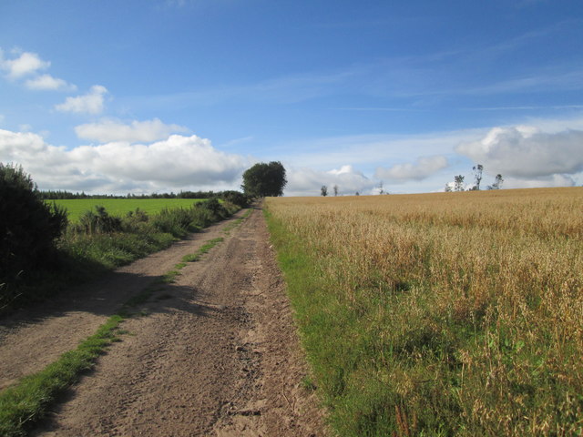
Black Law is a prominent hill located in Roxburghshire, a historic county in the southern region of Scotland. It is situated near the village of Eddleston, approximately 20 miles south of the county town of Melrose. With an elevation of 638 meters (2,093 feet), Black Law stands as one of the highest peaks in the area, offering breathtaking panoramic views of the surrounding countryside.

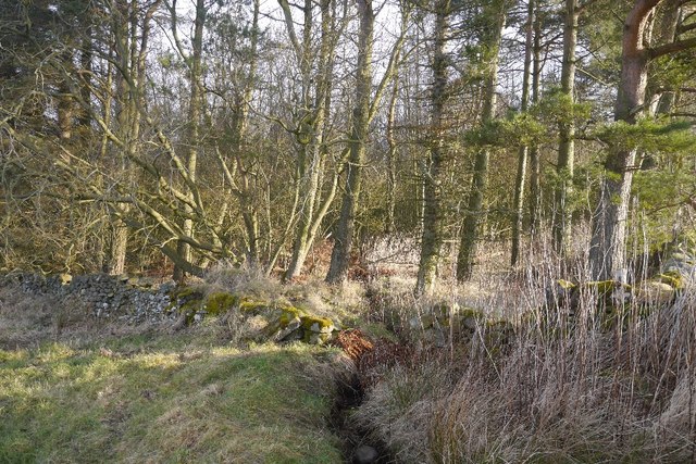
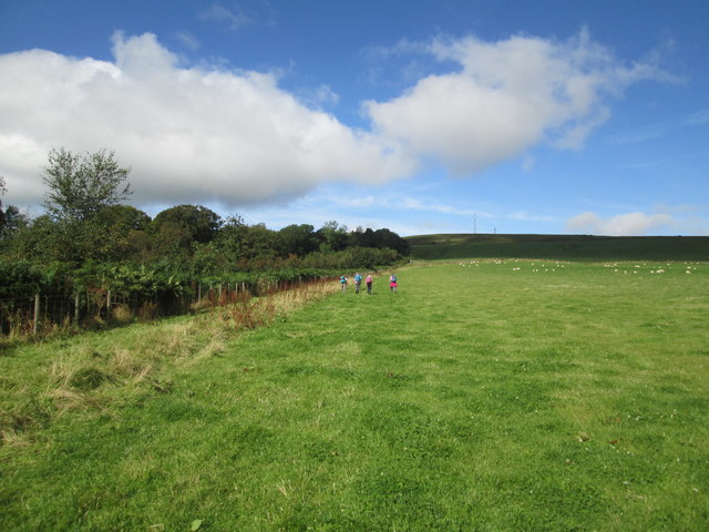
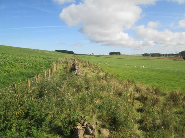
The hill is part of the stunning Moorfoot Hills range, known for its rolling green slopes and diverse flora and fauna. Black Law itself is characterized by its distinct conical shape and rugged terrain, attracting outdoor enthusiasts, hikers, and nature lovers alike.

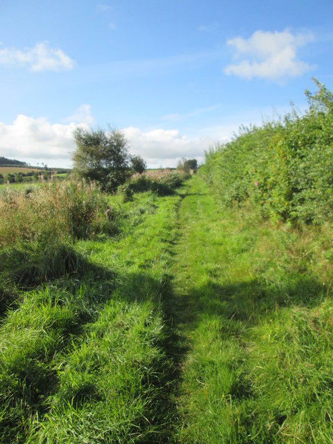
The ascent to the summit of Black Law can be challenging, with steep inclines and uneven paths. However, the reward is well worth the effort, as the hilltop provides stunning vistas of the surrounding landscape, including the lush green valleys, meandering rivers, and nearby hills.

The hill is also home to an abundance of wildlife, including various bird species, mammals, and plant life. Birdwatchers often visit Black Law to catch sight of buzzards, kestrels, and peregrine falcons, among others. Hares, foxes, and deer can also be spotted in the area.

Black Law is easily accessible by foot, with several well-marked trails leading to its summit. Visitors are advised to come prepared with appropriate hiking gear, including sturdy footwear and weather-resistant clothing, as conditions on the hill can change rapidly.

If you have any feedback on the listing, please let us know in the comments section below.

Black Law Images

Images are sourced within 2km of 55.456825/-2.6039145 or Grid Reference NT6118. Thanks to Geograph Open Source API. All images are credited.

Swinnie Moor
Swinnie Moor
Dunion Hill Dunion Hill is a secondary summit NE of Black Law. Its NE side, seen here from near the golf course, has been planted with blocks of trees.
Dunion Hill
Dunion Hill is a secondary summit NE of Black Law. Its NE side, seen here from near the golf course, has been planted with blocks of trees.
Farm access at Bedrule
New house at Bedrule
Woodland, Ruecastle A small conifer plantation.
Woodland, Ruecastle
A small conifer plantation.
War memorial, Bedrule At the road junction south of the village.
War memorial, Bedrule
At the road junction south of the village.
Bedrule Village Hall A spacious hall for this small village, though I expect it caters for people from a wide area in these scattered communities. Rubers Law is in the background.
Bedrule Village Hall
A spacious hall for this small village, though I expect it caters for people from a wide area in these scattered communities. Rubers Law is in the background.
Minor road near Bedrule on a frosty December morning Looking north-eastward.
Minor road near Bedrule on a frosty December morning
Looking north-eastward.
Field  edge  track  toward  Todlaw  Wells  Plantation Borders Abbeys Way
Field edge track toward Todlaw Wells Plantation
Borders Abbeys Way
Field  track  to  Todlaw  Wells  Plantation Borders Abbeys Way
Field track to Todlaw Wells Plantation
Borders Abbeys Way
This  section  of  Todlaw  Wells  Plantation  felled  and  cleared Dunion Hill in the background
This section of Todlaw Wells Plantation felled and cleared
Dunion Hill in the background
Borders  Abbeys  Way  through  sheep  pasture On the left the trees in Merlin Dean, the mast on top of black Law on the skyline right of centre
Borders Abbeys Way through sheep pasture
On the left the trees in Merlin Dean, the mast on top of black Law on the skyline right of centre
New  Fence.  Wall  not  fit  for  purpose From B A Way toward Todlaw Plantation
New Fence. Wall not fit for purpose
From B A Way toward Todlaw Plantation
Borders  Abbeys  Way  on  the  slope  of  Black  Law The wall on the left separates the farmed land from the moorland/rough grazing around the top of Black Law
Borders Abbeys Way on the slope of Black Law
The wall on the left separates the farmed land from the moorland/rough grazing around the top of Black Law
Borders  Abbeys  Way  up  to  Black  Law The B A Way goes left at the wall. Mast on the skyline
Borders Abbeys Way up to Black Law
The B A Way goes left at the wall. Mast on the skyline
Borders  Abbeys  Way  on  Black  Law Mast on the top
Borders Abbeys Way on Black Law
Mast on the top
Borders  Abbeys  Way  on  Black  Law Across this rough section then drop down toward Bedrule
Borders Abbeys Way on Black Law
Across this rough section then drop down toward Bedrule
Descending  from  Black  Law  toward  Bedrule An excellent view of the extinct volcano Rubers Law
Descending from Black Law toward Bedrule
An excellent view of the extinct volcano Rubers Law
Show me another place!

Black Law is located at Grid Ref: NT6118 (Lat: 55.456825, Lng: -2.6039145)

Unitary Authority: The Scottish Borders

Police Authority: The Lothians and Scottish Borders

What 3 Words

///miss.flicked.indulges. Near Jedburgh, Scottish Borders

Nearby Locations

Black Law

Related Wikis

Bedrule

Bedrule (Scottish Gaelic: Ruail Bheathaig) is a hamlet and civil parish in the historic county of Roxburghshire in the Scottish Borders area of Scotland...

Bedrule Castle

Bedrule Castle is a ruined 13th-century castle in the Rule Valley, in the Scottish Borders area of Scotland.The castle was built in the 13th century by...

Fulton Tower

Fulton Tower is a ruined 16th century tower house, about 4.5 miles (7.2 km) south west of Jedburgh, Scottish Borders, Scotland, and about 2 miles (3.2...

Lanton, Scottish Borders

Lanton is a village in the Scottish Borders area of Scotland, near Jedburgh and Timpendean Tower, off the A698. == See also == List of places in the Scottish...

Nearby Amenities

Located within 500m of 55.456825,-2.6039145
Black Law
Ele: 338
Natural: peak
Lat/Long: 55.4564148/-2.6030817
Communication Mobile Phone: yes
Man Made: mast
Tower Type: communication
Lat/Long: 55.4568579/-2.6033126
Communication Mobile Phone: yes
Man Made: mast
Tower Type: communication
Lat/Long: 55.4570098/-2.6028237
The data included in this document is from www.openstreetmap.org. The data is made available under ODbL.

Have you been to Black Law?

Leave your review of Black Law below (or comments, questions and feedback).