Beard Hill
Hill, Mountain in Somerset Mendip
England
Beard Hill

Beard Hill is a prominent hill located in the county of Somerset, England. Standing at an elevation of approximately 222 meters (728 feet), it is considered one of the higher points in the region. The hill is situated near the village of Trudoxhill, in the Mendip Hills Area of Outstanding Natural Beauty.
Beard Hill is characterized by its gentle slopes and verdant landscape, covered in lush grass and occasional patches of shrubs and trees. The hill offers breathtaking panoramic views of the surrounding countryside, including the rolling hills, farmland, and charming villages that dot the Somerset landscape.
At the summit of Beard Hill, there is a trig point, a concrete pillar used in surveying, which serves as a landmark for visitors. The trig point not only provides a reference point for surveying purposes but also offers an excellent vantage point for taking in the stunning vistas.
The hill is a popular spot for outdoor activities, such as hiking, walking, and nature photography. Several footpaths and trails traverse the hill, providing opportunities for both leisurely strolls and more challenging hikes. Wildlife enthusiasts can also spot various species of birds, small mammals, and wildflowers along the way.
Beard Hill is easily accessible, with nearby parking facilities and well-maintained paths leading to the summit. Visitors to this picturesque hill can enjoy a peaceful and serene atmosphere, immersing themselves in the natural beauty of the Somerset countryside.
If you have any feedback on the listing, please let us know in the comments section below.
Beard Hill Images
Images are sourced within 2km of 51.166463/-2.5462596 or Grid Reference ST6140. Thanks to Geograph Open Source API. All images are credited.


Beard Hill is located at Grid Ref: ST6140 (Lat: 51.166463, Lng: -2.5462596)
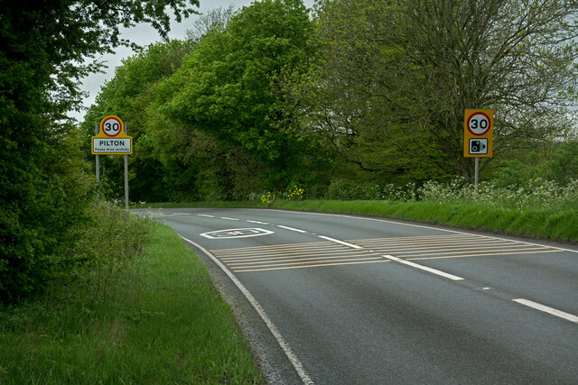
Administrative County: Somerset
District: Mendip
Police Authority: Avon and Somerset
What 3 Words
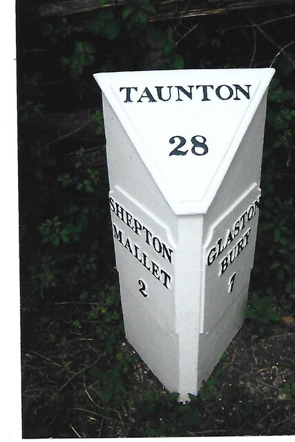
///swipes.committee.polo. Near Shepton Mallet, Somerset
Nearby Locations
Related Wikis

Royal Bath and West of England Society
The Royal Bath and West of England Society is a charitable society founded in 1777 to promote and improve agriculture and related activities around the...
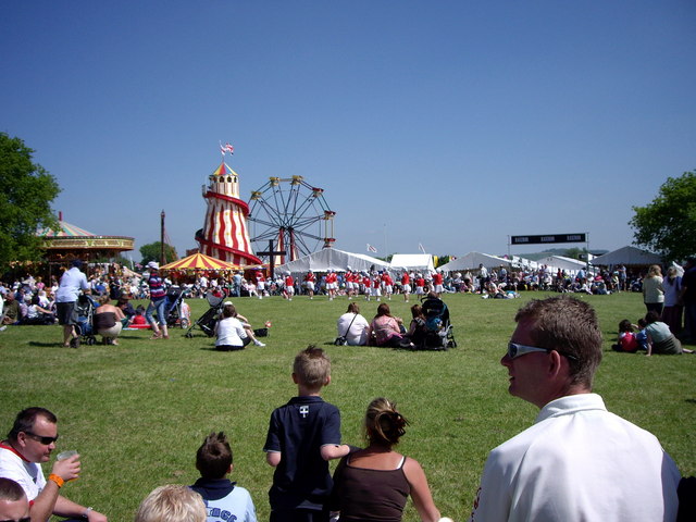
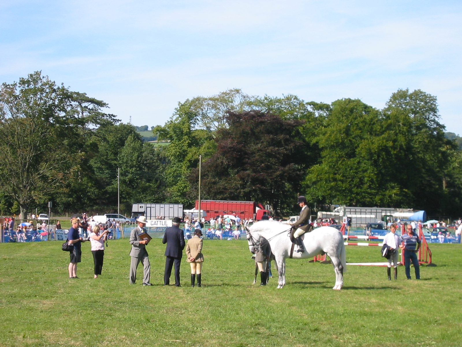
Royal Bath and West Show
The Royal Bath and West is an agricultural show for the West of England. Held every year at its permanent show ground near Shepton Mallet, Somerset, it...
Mid-Somerset Show
The Mid-Somerset Show, also known as Shepton Show, is a one-day agricultural show held annually in August on a site at Shepton Mallet, Somerset, England...
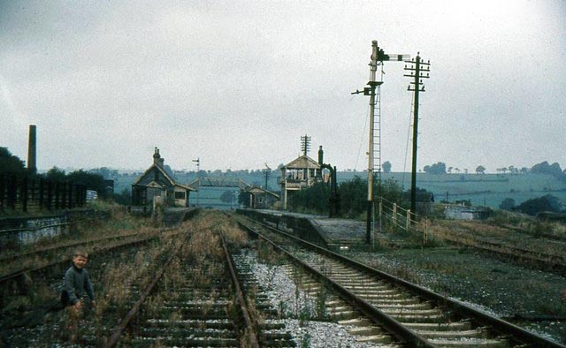
Pylle railway station
Pylle railway station was a station on the Highbridge branch of the Somerset and Dorset Joint Railway. Opened 3 February 1862 on the original S&DJR main...

Shepton Mallet (High Street) railway station
Shepton Mallet (High Street) was a railway station on the East Somerset Railway, serving the town of Shepton Mallet in the English county of Somerset....
Shepton Mallet (Charlton Road) railway station
Shepton Mallet (Charlton Road) was a station on the Somerset and Dorset Joint Railway in the county of Somerset in England. Opened as Shepton Mallet on...

Mendip Vale railway station
Mendip Vale is the western terminus of the East Somerset Railway. == Services == All trains terminate at Mendip Vale, with a 5-10 minute wait while the...
Shepton Mallet F.C.
Shepton Mallet Association Football Club are a football club based in Shepton Mallet, Somerset, England. They are currently members of Western League Premier...
Nearby Amenities
Located within 500m of 51.166463,-2.5462596Have you been to Beard Hill?
Leave your review of Beard Hill below (or comments, questions and feedback).