Ord More

Hill, Mountain in Aberdeenshire

Scotland

Ord More

Bridge of Potarch <span class="nowrap"><a title="https://canmore.org.uk/site/120081/bridge-of-potarch" rel="nofollow ugc noopener" href="https://canmore.org.uk/site/120081/bridge-of-potarch">Link</a><img style="margin-left:2px;" alt="External link" title="External link - shift click to open in new window" src="https://s1.geograph.org.uk/img/external.png" width="10" height="10"/></span>
Bridge of Potarch Credit: Sandy Gerrard

Ord More is a prominent hill located in Aberdeenshire, Scotland. Situated near the village of Tarland, it forms part of the stunning Cairngorms National Park. Standing at an elevation of 556 meters (1,824 feet), Ord More offers breathtaking panoramic views of the surrounding landscape.

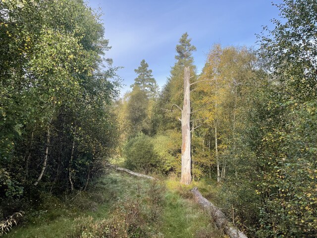
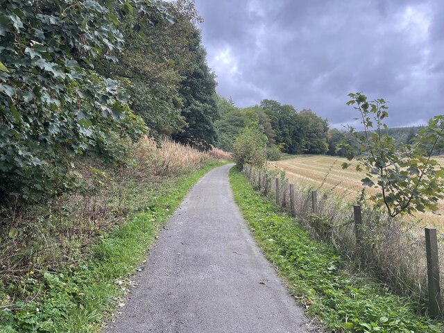
The hill is characterized by its steep slopes and rugged terrain, making it a popular destination for outdoor enthusiasts and hikers. The ascent to the summit can be challenging but rewarding, with various trails and pathways available for different levels of difficulty. The hill is covered in heather and scattered with granite boulders, adding to its picturesque charm.

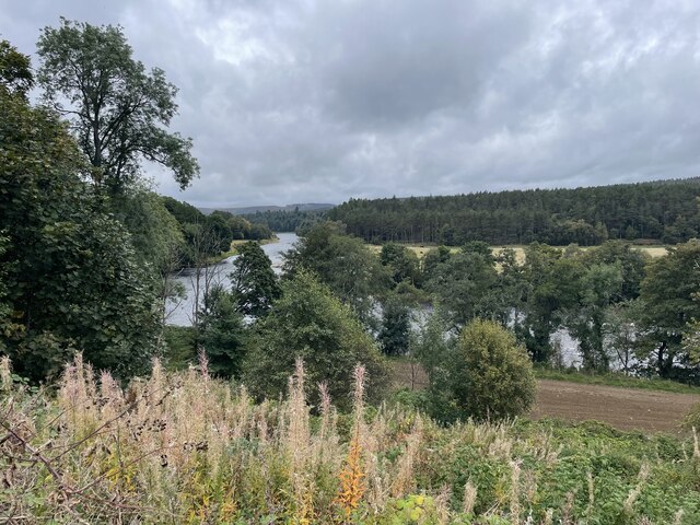
From the top of Ord More, one can witness stunning vistas of the Cairngorms and the rolling hills of Aberdeenshire. On clear days, it is even possible to see as far as the coast. The hill offers a unique opportunity to appreciate the beauty of the Scottish countryside and immerse oneself in nature.

Ord More is also known for its rich historical and cultural significance. It is believed to have been inhabited by humans since ancient times, with archaeological sites and remnants of settlements dating back thousands of years. The hill is often associated with local legends and folklore, further adding to its allure.

Overall, Ord More is a captivating hill and mountainous region offering a combination of natural beauty, challenging hiking trails, and a glimpse into Scotland's rich history. It is a must-visit destination for nature lovers and adventure seekers visiting Aberdeenshire.

If you have any feedback on the listing, please let us know in the comments section below.
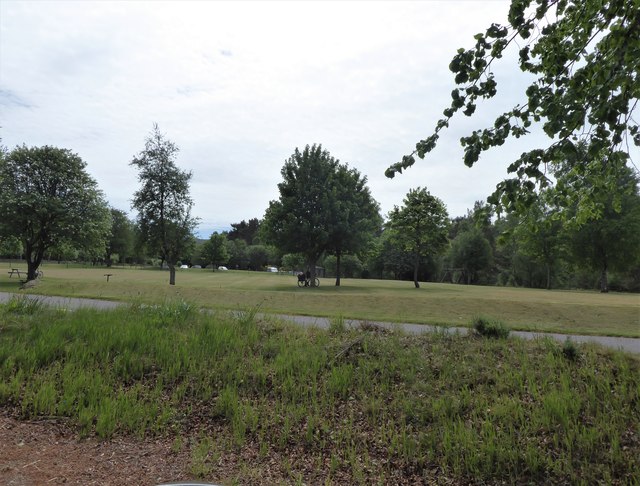
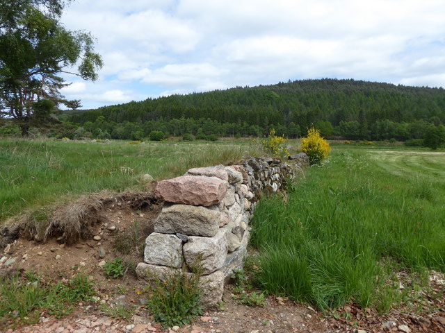
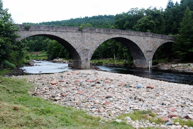
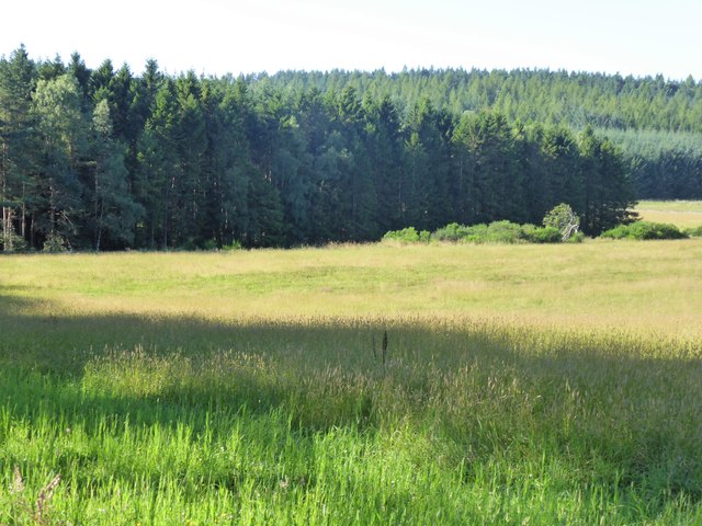
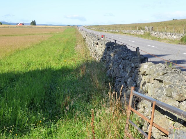
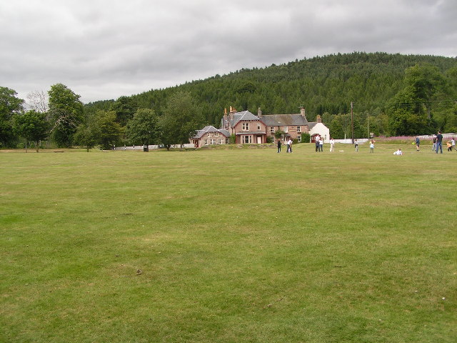
Ord More Images

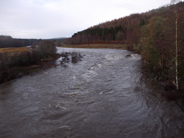
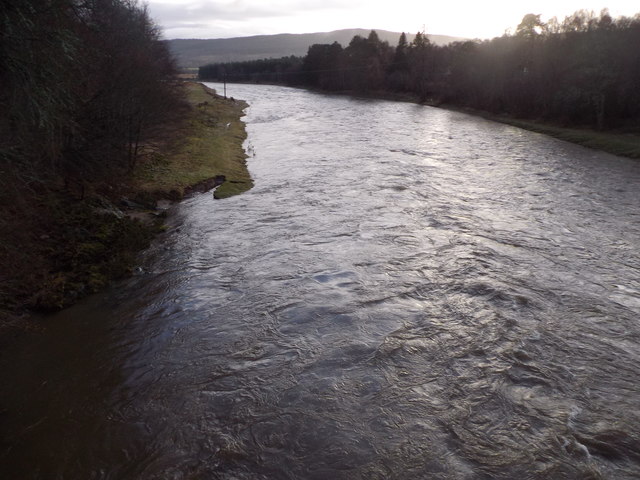
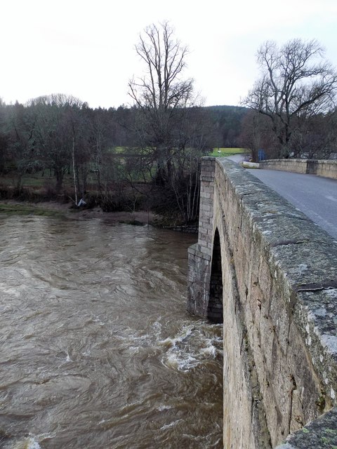
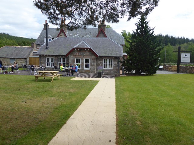
Images are sourced within 2km of 57.074537/-2.6344617 or Grid Reference NO6198. Thanks to Geograph Open Source API. All images are credited.

Bridge of Potarch <span class="nowrap"><a title="https://canmore.org.uk/site/120081/bridge-of-potarch" rel="nofollow ugc noopener" href="https://canmore.org.uk/site/120081/bridge-of-potarch">Link</a><img style="margin-left:2px;" alt="External link" title="External link - shift click to open in new window" src="https://s1.geograph.org.uk/img/external.png" width="10" height="10"/></span>
Bridge of Potarch
A93 towards Banchory
The Deeside Way
The Deeside Way
Bridge over the Dee
Bridge over the Dee
A lone dead tree Geocaching is a type of global treasure hunt of people looking for caches, or hidden stashes of objects. Geocaching may also be described as a series of hide-and-seek games, where hiders provide online clues for seekers. Seekers use global positioning system (GPS) devices to find hidden caches
A lone dead tree
Geocaching is a type of global treasure hunt of people looking for caches, or hidden stashes of objects. Geocaching may also be described as a series of hide-and-seek games, where hiders provide online clues for seekers. Seekers use global positioning system (GPS) devices to find hidden caches
Looking towards the River Dee
The Deeside way
The Deeside way
Dee in spate, 31 Dec 2015 Water in River Dee subsiding after a month of record rainfall which had caused the bridge to be temporarily closed to traffic.
Dee in spate, 31 Dec 2015
Water in River Dee subsiding after a month of record rainfall which had caused the bridge to be temporarily closed to traffic.
Jock Young's Leap, River Dee The view upstream from the Bridge of Potarch as water flow subsides after record precipitation in December 2015.
Jock Young's Leap, River Dee
The view upstream from the Bridge of Potarch as water flow subsides after record precipitation in December 2015.
River Dee downstream Of Bridge of Potarch Just after the bridge was re-opened to traffic following damage to other bridges over the Dee by a spate in the wake of excessive December rainfall.
River Dee downstream Of Bridge of Potarch
Just after the bridge was re-opened to traffic following damage to other bridges over the Dee by a spate in the wake of excessive December rainfall.
Bridge of Potarch, 31 Dec 2015 Flow from the downstream face of the bridge as the December spate subsides. The bridge was temporarily closed to traffic as a precaution after a number of other bridges over the River Dee had been damaged in the previous week.
Bridge of Potarch, 31 Dec 2015
Flow from the downstream face of the bridge as the December spate subsides. The bridge was temporarily closed to traffic as a precaution after a number of other bridges over the River Dee had been damaged in the previous week.
River Dee at Bridge of Potarch from the air
Potarch Inn (redeveloped) Restaurant garden.
Potarch Inn (redeveloped)
Restaurant garden.
A view of the Market Stance, Potarch Across B993, from Potarch Inn carpark.
A view of the Market Stance, Potarch
Across B993, from Potarch Inn carpark.
A dry stane wall at Potarch Pointing towards Sluie Woods, beyond the River Dee.
A dry stane wall at Potarch
Pointing towards Sluie Woods, beyond the River Dee.
Bridge of Potarch
Bridge of Potarch
Edge of Ordmore Wood Seen across a hay field, from B993.
Edge of Ordmore Wood
Seen across a hay field, from B993.
B933 between dry stone walls Southwest from Ordmore Wood. Gateside in distance on the left.
B933 between dry stone walls
Southwest from Ordmore Wood. Gateside in distance on the left.
Show me another place!

Ord More is located at Grid Ref: NO6198 (Lat: 57.074537, Lng: -2.6344617)

Unitary Authority: Aberdeenshire

Police Authority: North East

What 3 Words

///thunder.dwarf.yummy. Near Torphins, Aberdeenshire

Nearby Locations

Ord More

Related Wikis

Dinnie Stones

The Dinnie Stones (also called Stanes or Steens) are a pair of Scottish lifting stones located in Potarch, Aberdeenshire. They were made famous by strongman...
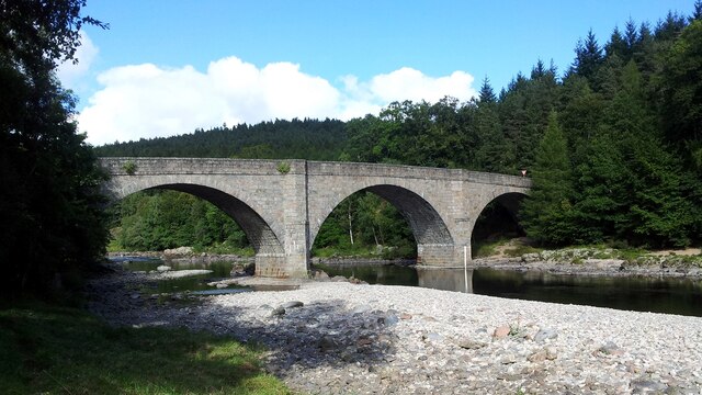
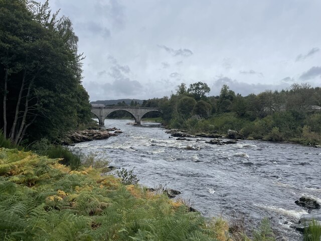
Potarch

Potarch ( pot-ARKH) is a hamlet in Aberdeenshire, Scotland, with a bridge across the River Dee. It is a popular location with tourists and day-trippers...

Kincardine Castle, Royal Deeside

Kincardine Castle is a Victorian country house in Royal Deeside, Scotland. Formerly known as Kincardine House, it is the private home of the Bradford family...

Kincardine O'Neil Hospital, Aberdeenshire

Kincardine O'Neil Hospital was founded in the 13th century in the village of Kincardine O'Neil in Scotland. Almost certainly it served as a traveler's...

Nearby Amenities

Located within 500m of 57.074537,-2.6344617
White Hill
Ele: 230
Natural: peak
Lat/Long: 57.0766128/-2.6385752
Ord More
Ele: 240
Natural: peak
Lat/Long: 57.0745953/-2.6340228
The data included in this document is from www.openstreetmap.org. The data is made available under ODbL.

Have you been to Ord More?

Leave your review of Ord More below (or comments, questions and feedback).