Birk Hills

Hill, Mountain in Aberdeenshire

Scotland

Birk Hills

Bridge of Potarch <span class="nowrap"><a title="https://canmore.org.uk/site/120081/bridge-of-potarch" rel="nofollow ugc noopener" href="https://canmore.org.uk/site/120081/bridge-of-potarch">Link</a><img style="margin-left:2px;" alt="External link" title="External link - shift click to open in new window" src="https://s1.geograph.org.uk/img/external.png" width="10" height="10"/></span>
Bridge of Potarch Credit: Sandy Gerrard

Birk Hills is a small mountain located in Aberdeenshire, Scotland. It is part of the Grampian Mountains, which stretch across the northeastern region of the country. Birk Hills sits at an elevation of approximately 485 meters (1,591 feet) above sea level.

The mountain is known for its distinctive shape, characterized by its rounded summit and steep slopes. Its location offers breathtaking panoramic views of the surrounding countryside, including the nearby towns of Banchory and Torphins. On clear days, it is possible to see as far as the North Sea coastline.

Birk Hills is a popular destination for outdoor enthusiasts, particularly hikers and hillwalkers. There are several well-marked paths leading to the summit, varying in difficulty to accommodate different levels of experience. The ascent can be challenging in some sections, but the effort is rewarded with stunning vistas once at the top.

The mountain is also home to a variety of wildlife, including red deer, mountain hares, and various species of birds. Nature lovers can often spot these animals while exploring the area.

Historically, Birk Hills has played a role in local folklore and legends. It is said to be the site of ancient rituals and gatherings, and there are tales of hidden treasure buried within its slopes. These stories add an air of mystery and intrigue to the mountain's allure.

Overall, Birk Hills offers a rewarding experience for those seeking natural beauty, outdoor adventure, and a glimpse into Scotland's rich history and folklore.

If you have any feedback on the listing, please let us know in the comments section below.
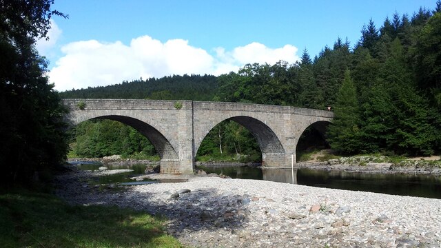
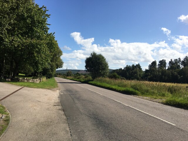
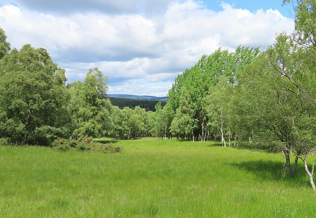
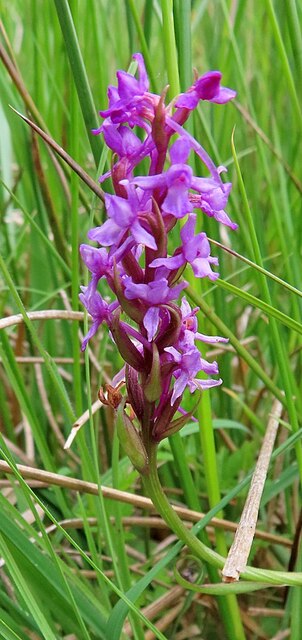
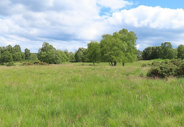
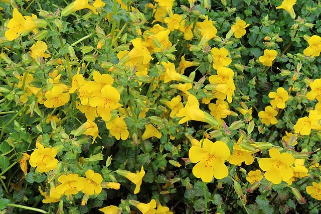
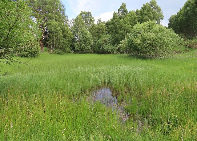
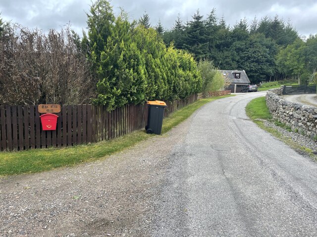
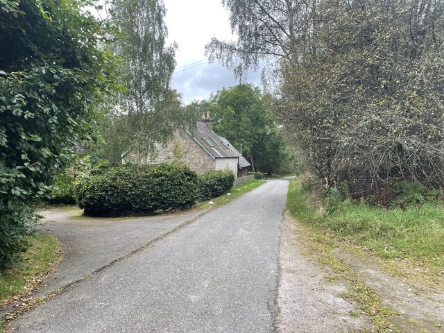
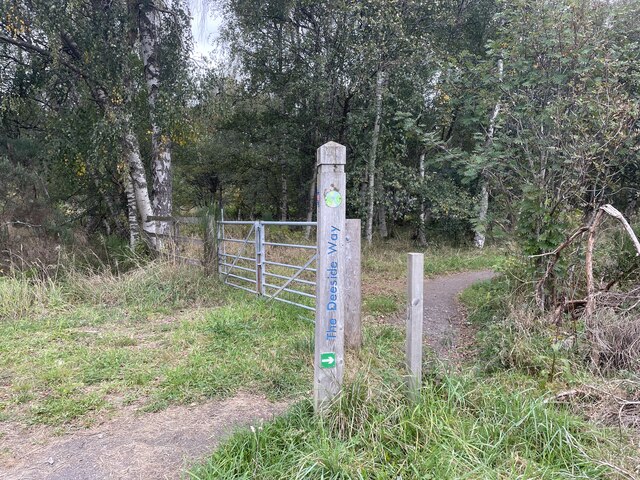
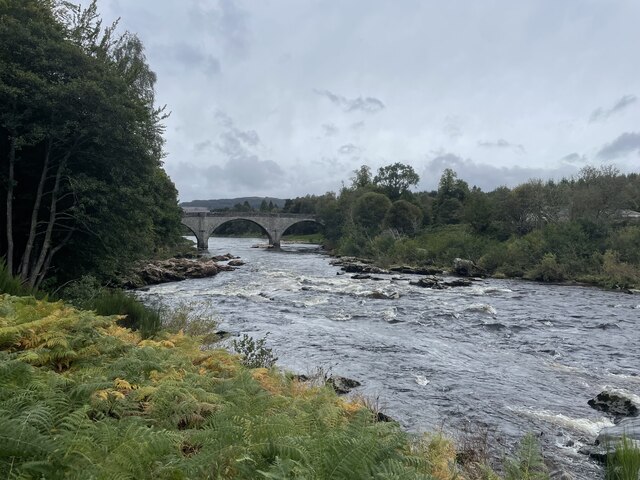
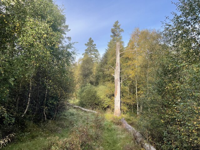
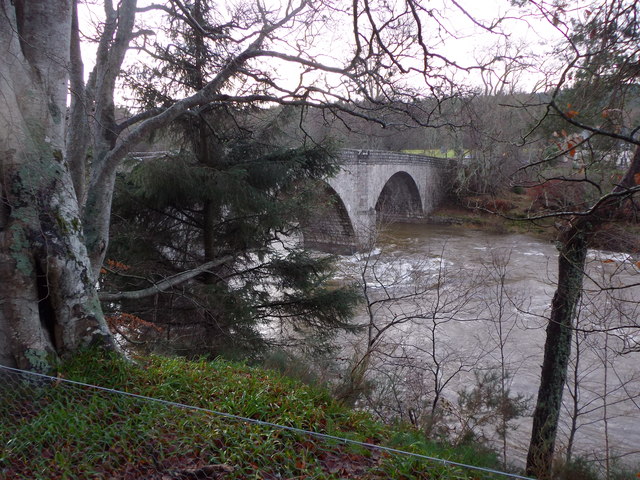
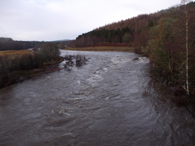
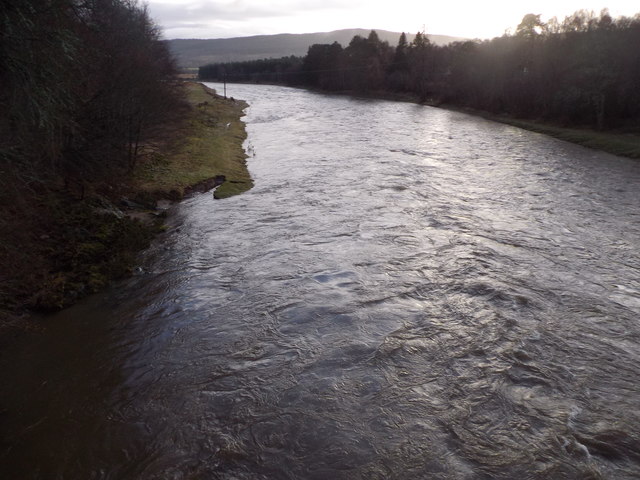
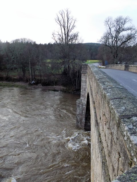
Birk Hills Images

Images are sourced within 2km of 57.065284/-2.6380305 or Grid Reference NO6197. Thanks to Geograph Open Source API. All images are credited.

Bridge of Potarch <span class="nowrap"><a title="https://canmore.org.uk/site/120081/bridge-of-potarch" rel="nofollow ugc noopener" href="https://canmore.org.uk/site/120081/bridge-of-potarch">Link</a><img style="margin-left:2px;" alt="External link" title="External link - shift click to open in new window" src="https://s1.geograph.org.uk/img/external.png" width="10" height="10"/></span>
Bridge of Potarch
A93 towards Banchory
Open Woodland in Shannel SSSI Grassland and native broadleaved trees on part of the Site of Special Scientific Interest at Shannel.
Open Woodland in Shannel SSSI
Grassland and native broadleaved trees on part of the Site of Special Scientific Interest at Shannel.
Fragrant Orchid (Gymnadenia conopsea) There are many of these in the grassy parts of the Shannel Site of Scientific Interest.
Fragrant Orchid (Gymnadenia conopsea)
There are many of these in the grassy parts of the Shannel Site of Scientific Interest.
Grassland near Tillenteach This are of grassland and scattered trees is part of the Shannel SSSI.
Grassland near Tillenteach
This are of grassland and scattered trees is part of the Shannel SSSI.
Monkeyflower (Mimulus guttatus) A well-established non-native that likes damp places.
Monkeyflower (Mimulus guttatus)
A well-established non-native that likes damp places.
Disappearing Pond This pond near Tillenteach is becoming overgrown with vegetation, and it may not be long before it disappears altogether.
Disappearing Pond
This pond near Tillenteach is becoming overgrown with vegetation, and it may not be long before it disappears altogether.
Old Dyke with Moss An old field dyke, still on the maps, on the lower slope near Shannel.
Old Dyke with Moss
An old field dyke, still on the maps, on the lower slope near Shannel.
The old mill
The old mill
Back roads of Aberdeenshire
The Deeside Way
The Deeside Way
Bridge over the Dee
Bridge over the Dee
A lone dead tree Geocaching is a type of global treasure hunt of people looking for caches, or hidden stashes of objects. Geocaching may also be described as a series of hide-and-seek games, where hiders provide online clues for seekers. Seekers use global positioning system (GPS) devices to find hidden caches
A lone dead tree
Geocaching is a type of global treasure hunt of people looking for caches, or hidden stashes of objects. Geocaching may also be described as a series of hide-and-seek games, where hiders provide online clues for seekers. Seekers use global positioning system (GPS) devices to find hidden caches
Dee in spate, 31 Dec 2015 Water in River Dee subsiding after a month of record rainfall which had caused the bridge to be temporarily closed to traffic.
Dee in spate, 31 Dec 2015
Water in River Dee subsiding after a month of record rainfall which had caused the bridge to be temporarily closed to traffic.
Jock Young's Leap, River Dee The view upstream from the Bridge of Potarch as water flow subsides after record precipitation in December 2015.
Jock Young's Leap, River Dee
The view upstream from the Bridge of Potarch as water flow subsides after record precipitation in December 2015.
River Dee downstream Of Bridge of Potarch Just after the bridge was re-opened to traffic following damage to other bridges over the Dee by a spate in the wake of excessive December rainfall.
River Dee downstream Of Bridge of Potarch
Just after the bridge was re-opened to traffic following damage to other bridges over the Dee by a spate in the wake of excessive December rainfall.
Bridge of Potarch, 31 Dec 2015 Flow from the downstream face of the bridge as the December spate subsides. The bridge was temporarily closed to traffic as a precaution after a number of other bridges over the River Dee had been damaged in the previous week.
Bridge of Potarch, 31 Dec 2015
Flow from the downstream face of the bridge as the December spate subsides. The bridge was temporarily closed to traffic as a precaution after a number of other bridges over the River Dee had been damaged in the previous week.
River Dee at Bridge of Potarch from the air
Show me another place!

Birk Hills is located at Grid Ref: NO6197 (Lat: 57.065284, Lng: -2.6380305)

Unitary Authority: Aberdeenshire

Police Authority: North East

What 3 Words

///mothering.note.sediment. Near Torphins, Aberdeenshire

Nearby Locations

Birk Hills Sluie Woods

Related Wikis

Potarch

Potarch ( pot-ARKH) is a hamlet in Aberdeenshire, Scotland, with a bridge across the River Dee.It is a popular location with tourists and day-trippers...

Dinnie Stones

The Dinnie Stones (also called Stanes or Steens) are a pair of Scottish lifting stones located in Potarch, Aberdeenshire. They were made famous by strongman...

Mounth

The Mounth ( MUNTH) is the broad upland in northeast Scotland between the Highland Boundary and the River Dee, at the eastern end of the Grampians....

Kincardine Castle, Royal Deeside

Kincardine Castle is a Victorian country house in Royal Deeside, Scotland. Formerly known as Kincardine House, it is the private home of the Bradford family...

Nearby Amenities

Located within 500m of 57.065284,-2.6380305
Birken Hill
Ele: 170
Natural: peak
Lat/Long: 57.0652594/-2.6375882
Power: pole
Lat/Long: 57.0640622/-2.6457344
Power: pole
Lat/Long: 57.064385/-2.6450055
Power: pole
Lat/Long: 57.0647416/-2.6442301
Power: pole
Lat/Long: 57.0651668/-2.6432996
Power: pole
Lat/Long: 57.0656799/-2.642132
Power: pole
Lat/Long: 57.0660593/-2.6412569
Power: pole
Lat/Long: 57.0661268/-2.6399963
Power: pole
Lat/Long: 57.0661906/-2.6387689
Power: pole
Lat/Long: 57.0664809/-2.6332325
Power: pole
Lat/Long: 57.0665531/-2.6318677
Power: pole
Lat/Long: 57.0666302/-2.6304808
The data included in this document is from www.openstreetmap.org. The data is made available under ODbL.

Have you been to Birk Hills?

Leave your review of Birk Hills below (or comments, questions and feedback).