Knighton Hill
Hill, Mountain in Dorset
England
Knighton Hill

Knighton Hill is a prominent geographical feature located in the county of Dorset, England. It is situated in the southern region of the country, near the village of Broadmayne. With an elevation of approximately 206 meters (676 feet), Knighton Hill is often referred to as a hill rather than a mountain due to its relatively moderate height.
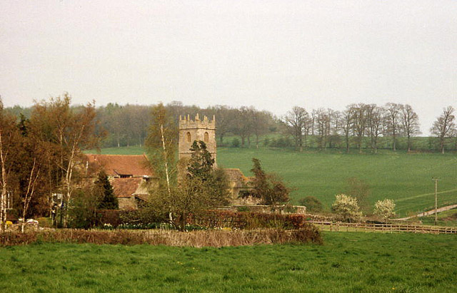
The hill is a part of the larger Dorset Downs, which form a range of chalk hills extending across the county. It offers breathtaking panoramic views of the surrounding countryside, including the nearby towns of Dorchester and Weymouth, as well as the English Channel to the south. The landscape is predominantly characterized by rolling green fields, hedgerows, and woodland areas.
Knighton Hill is a popular destination for outdoor enthusiasts, hikers, and nature lovers. It boasts several well-marked walking trails, allowing visitors to explore the area's natural beauty and enjoy the picturesque scenery. In addition to its recreational value, the hill also holds historical significance, with evidence of Iron Age settlements and earthworks found in the vicinity.
The hill is easily accessible by road, with parking available for visitors at the foot of the hill. It is also well-connected to the nearby villages and towns, making it a convenient attraction for both locals and tourists alike. Whether one seeks a peaceful stroll, a challenging hike, or simply a place to admire the tranquility of the Dorset countryside, Knighton Hill offers a captivating experience for all.
If you have any feedback on the listing, please let us know in the comments section below.
Knighton Hill Images
Images are sourced within 2km of 50.906323/-2.5507032 or Grid Reference ST6112. Thanks to Geograph Open Source API. All images are credited.


Knighton Hill is located at Grid Ref: ST6112 (Lat: 50.906323, Lng: -2.5507032)
Unitary Authority: Dorset
Police Authority: Dorset
What 3 Words
///freshest.stove.materials. Near Yetminster, Dorset
Nearby Locations
Related Wikis

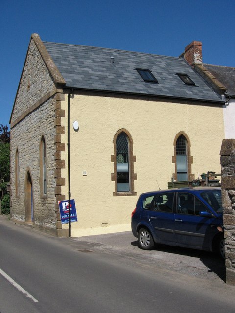
Thornford
Thornford is a village and civil parish in north west Dorset, England, situated in the Yeo valley 4 miles (6.4 km) southwest of Sherborne. Dorset County...

Beer Hackett
Beer Hackett is a small village and civil parish in west Dorset, England, situated 3 miles (4.8 km) southwest of Sherborne and 5 miles (8.0 km) southeast...

Lillington, Dorset
Lillington is a hamlet and civil parish in north west Dorset, England, situated 3 miles (4.8 km) south of Sherborne. Dorset County Council estimate that...
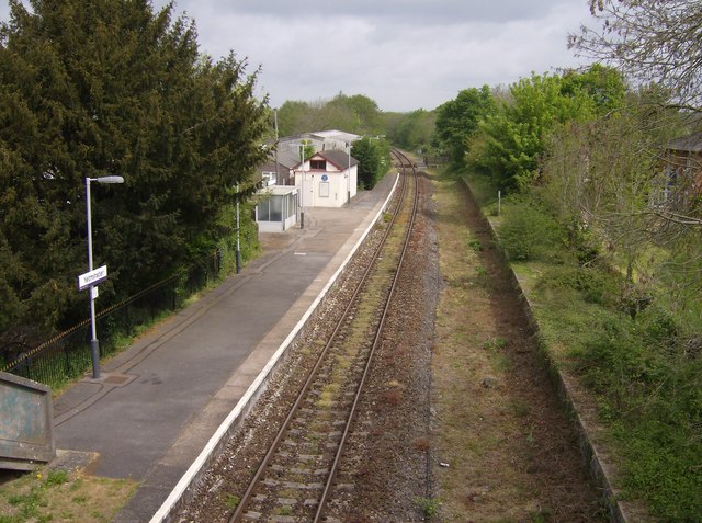
Yetminster railway station
Yetminster railway station serves the village of Yetminster in Dorset, England. The station is on the Heart of Wessex Line, 23.25 miles (37 km) north of...
Nearby Amenities
Located within 500m of 50.906323,-2.5507032Have you been to Knighton Hill?
Leave your review of Knighton Hill below (or comments, questions and feedback).