Cammock Rigg
Hill, Mountain in Cumberland Carlisle
England
Cammock Rigg

Cammock Rigg is a prominent hill located in the county of Cumberland, in the North West of England. Situated in the Lake District National Park, it forms part of the breathtaking Cumbrian landscape, renowned for its stunning natural beauty.
Rising to an elevation of approximately 450 meters (1,480 feet), Cammock Rigg is considered a significant mountain within the region. Its summit offers breathtaking panoramic views of the surrounding countryside, including the nearby fells and valleys. The hill is composed primarily of rugged, rocky terrain, characteristic of the Lake District's geological makeup.
Cammock Rigg attracts outdoor enthusiasts and hikers from far and wide, thanks to its challenging yet rewarding trails. There are several well-defined paths that lead to the summit, allowing visitors to explore the hill's diverse flora and fauna along the way. The area is particularly rich in wildlife, with a variety of bird species, such as peregrine falcons and red grouse, often spotted in the vicinity.
The hill's location within the Lake District National Park means that it benefits from the protection and preservation efforts of this designated area. As such, visitors are encouraged to adhere to the park's guidelines, ensuring the conservation of the natural environment and respecting the local wildlife.
Cammock Rigg is a must-visit destination for nature lovers and outdoor enthusiasts seeking to immerse themselves in the awe-inspiring beauty of the Lake District. Its challenging trails, breathtaking views, and diverse ecosystem make it an unforgettable experience for all who venture to its summit.
If you have any feedback on the listing, please let us know in the comments section below.
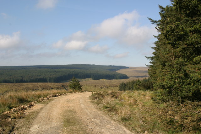
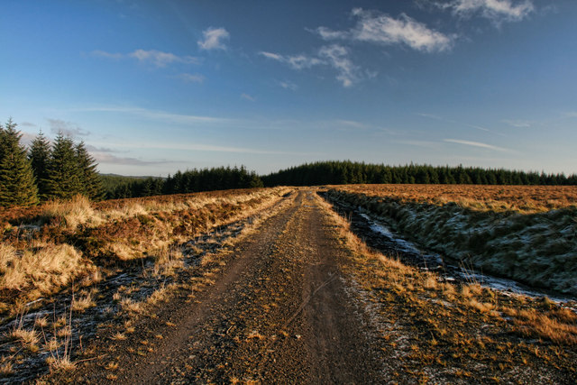
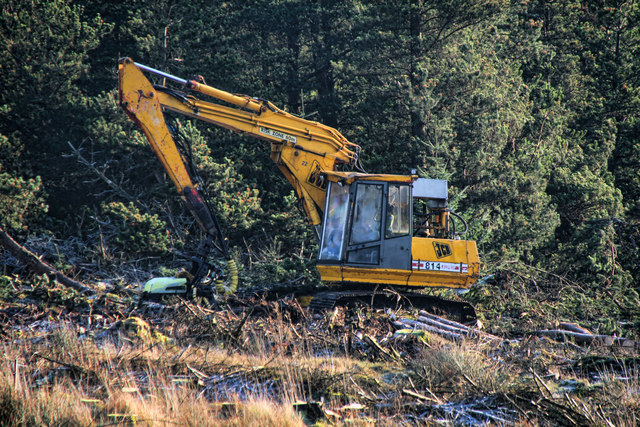
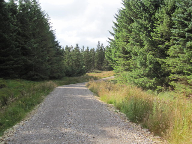
Cammock Rigg Images
Images are sourced within 2km of 55.093434/-2.6076046 or Grid Reference NY6177. Thanks to Geograph Open Source API. All images are credited.


Cammock Rigg is located at Grid Ref: NY6177 (Lat: 55.093434, Lng: -2.6076046)
Administrative County: Cumbria
District: Carlisle
Police Authority: Cumbria
What 3 Words
///longer.slap.slung. Near Greenhead, Northumberland
Nearby Locations
Related Wikis

Sighty Crag
Sighty Crag is a hill in the southern part of the Kielder Forest region in northern England, a region which also includes its fellow Marilyns of Peel Fell...

Churnsike Lodge
Churnsike Lodge is an early Victorian hunting lodge situated in the parish of Greystead, West Northumberland, England. Constructed in 1850 by the Charlton...

Bewcastle Castle
Bewcastle Castle is a ruined castle in the parish of Bewcastle in the English county of Cumbria, a few miles from the Scottish border. == History == The...

Bewcastle Cross
The Bewcastle Cross is an Anglo-Saxon cross which is still in its original position within the churchyard of St Cuthbert's church at Bewcastle, in the...
Nearby Amenities
Located within 500m of 55.093434,-2.6076046Have you been to Cammock Rigg?
Leave your review of Cammock Rigg below (or comments, questions and feedback).