Caird Hill

Hill, Mountain in Aberdeenshire

Scotland

Caird Hill

Cottages in Leslie By Kennethmont junction on the road from Premnay.
Cottages in Leslie Credit: Stanley Howe

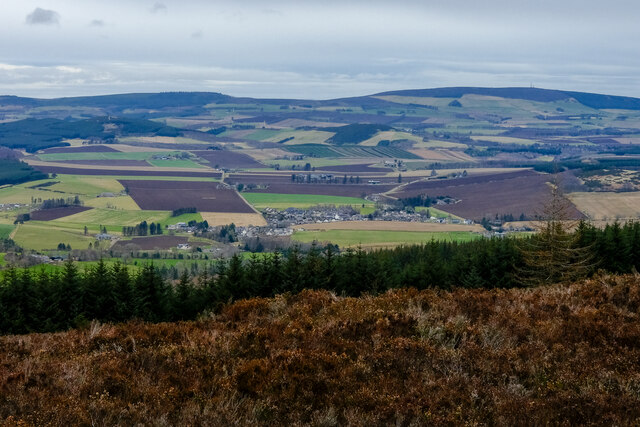
Caird Hill is a prominent hill located in Aberdeenshire, Scotland. It is part of the larger range of hills known as the Cairngorms, which are renowned for their stunning natural beauty and diverse wildlife. With an elevation of approximately 515 meters (1,690 feet), Caird Hill offers breathtaking views of the surrounding countryside, making it a popular destination for hikers and nature enthusiasts.

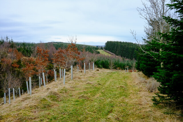
The hill is characterized by its gently sloping sides and rocky terrain, with patches of heather and grass covering its lower slopes. As one ascends, the vegetation becomes sparser, giving way to exposed rocks and scree fields. The summit of Caird Hill is marked by a trig point, providing a sense of accomplishment for those who reach the top.

The hill is home to a variety of plant and animal species, including red deer, mountain hares, and ptarmigans. During the summer months, wildflowers such as purple saxifrage and mountain avens can be spotted dotting the hillside, adding vibrant colors to the landscape.

Caird Hill is easily accessible, with several well-marked trails leading to its summit. The most common starting point is the nearby village of Tarland, where ample parking is available. From there, hikers can follow a well-trodden path that gradually climbs the hill, offering stunning vistas along the way.

Overall, Caird Hill is a picturesque and accessible hill in Aberdeenshire, offering visitors the chance to immerse themselves in the natural beauty of the Scottish countryside. Whether one seeks a challenging hike or simply a peaceful stroll, this hill has something to offer for everyone.

If you have any feedback on the listing, please let us know in the comments section below.
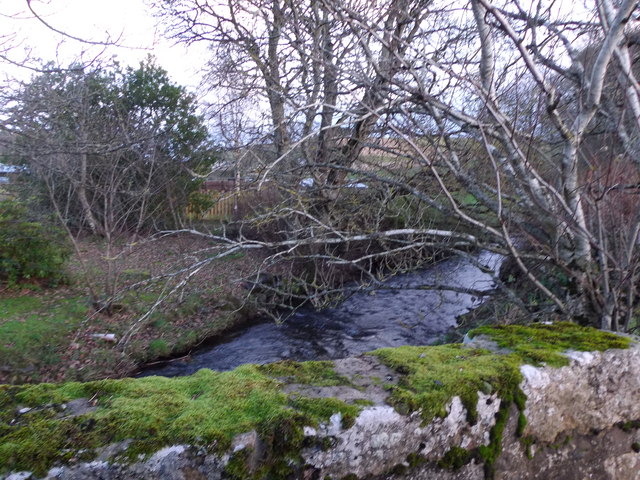
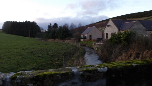
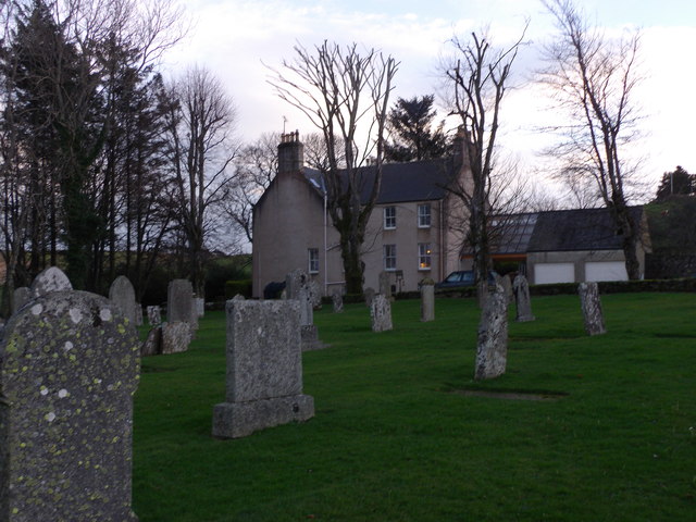
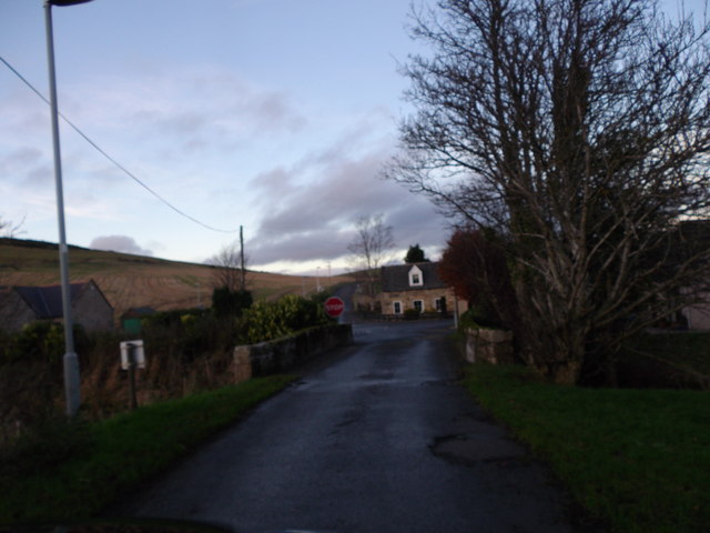
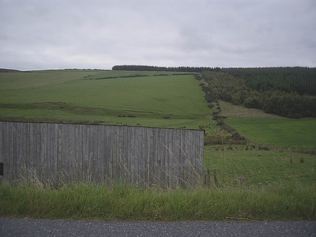
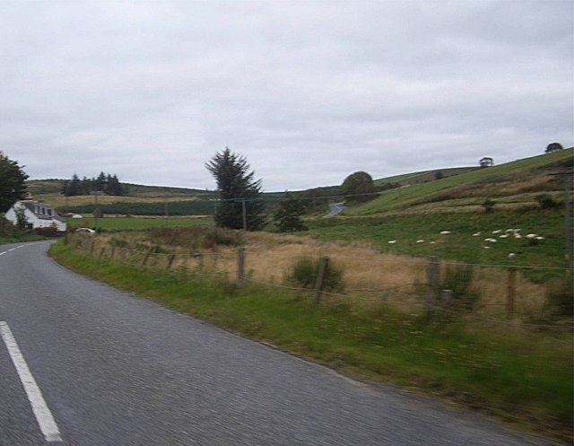
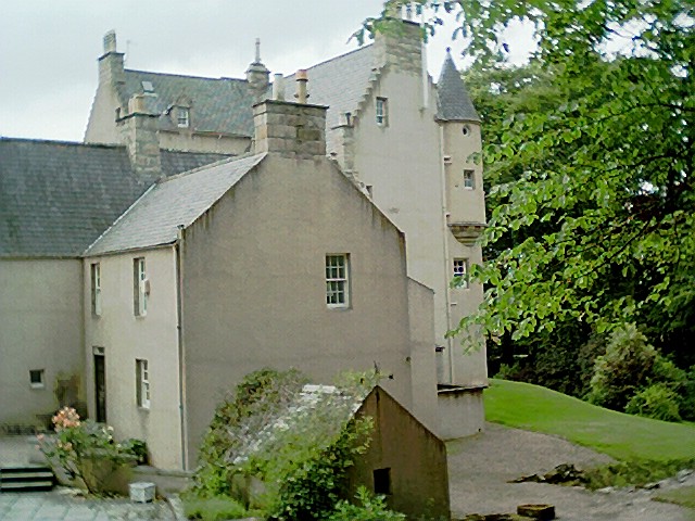
Caird Hill Images

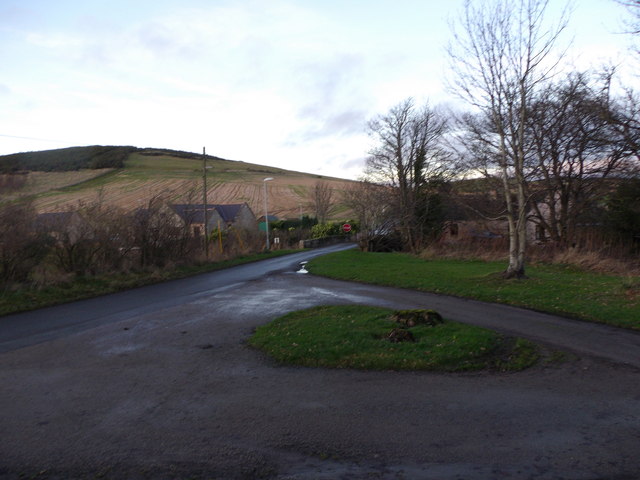
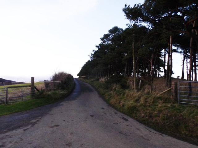
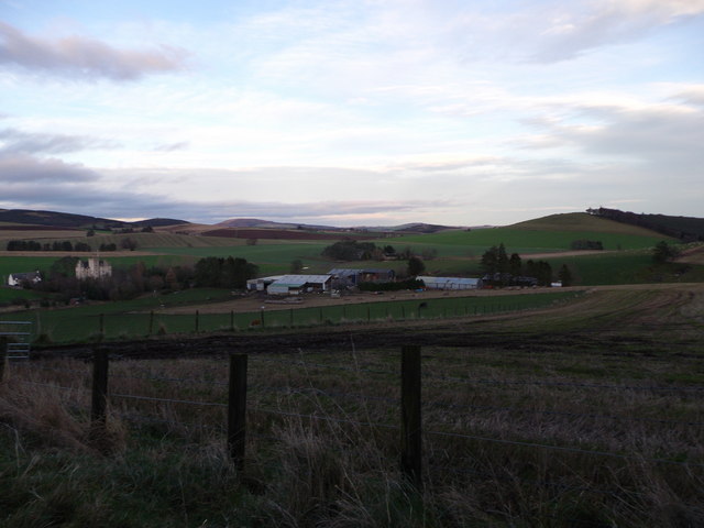
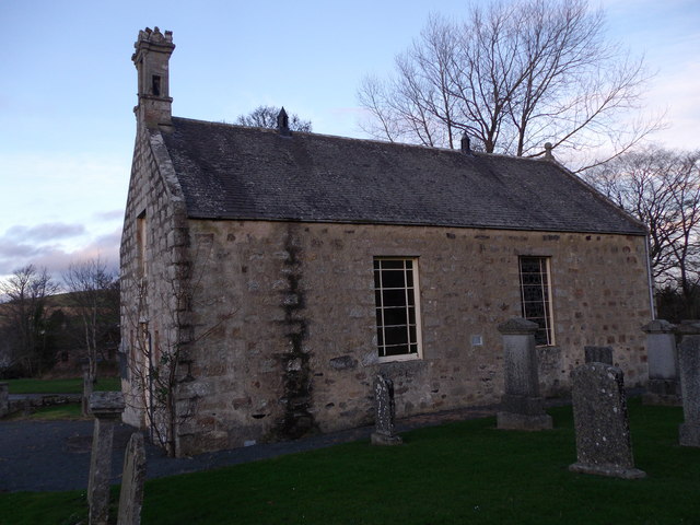
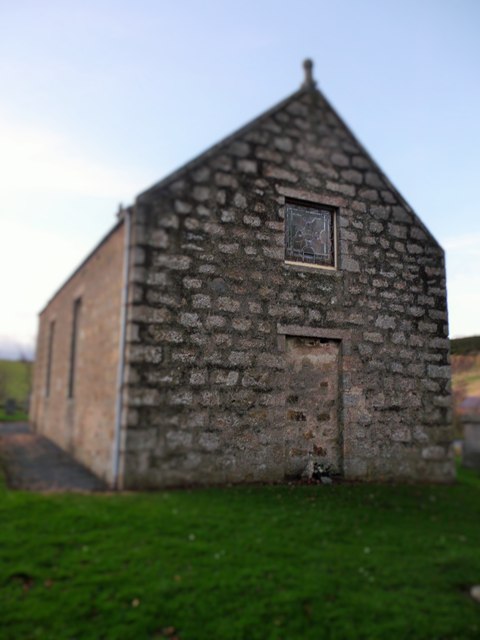
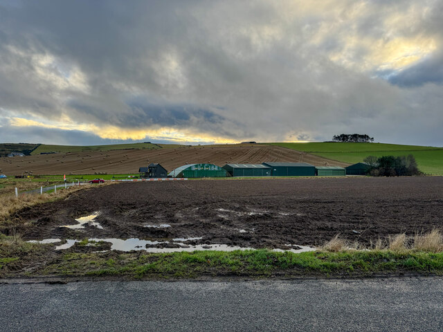
Images are sourced within 2km of 57.300956/-2.6437167 or Grid Reference NJ6123. Thanks to Geograph Open Source API. All images are credited.

Cottages in Leslie By Kennethmont junction on the road from Premnay.
Cottages in Leslie
By Kennethmont junction on the road from Premnay.
Bridge of Leslie Over the Gadie Burn, towards Bogs of Leslie.
Bridge of Leslie
Over the Gadie Burn, towards Bogs of Leslie.
Leslie kirk From road to Bogs of Leslie.
Leslie kirk
From road to Bogs of Leslie.
Country Frames Gallery, Little Chapelton Off the road from Leslie to Bogs.
Country Frames Gallery, Little Chapelton
Off the road from Leslie to Bogs.
Downstream Gadie Burn From the Bridge of Leslie.
Downstream Gadie Burn
From the Bridge of Leslie.
Upstream Gadie Burn From the Bridge of Leslie.
Upstream Gadie Burn
From the Bridge of Leslie.
Gadie House, Leslie The Old Manse as seen from Leslie kirkyard. See <span class="nowrap"><a title="http://canmoremapping.rcahms.gov.uk/index.php?action=do_details&numlink=148036&cache_name=aWRudW1saW5rLDE0ODAzNl9zZWFyY2h0eXBlLGFkdmFuY2VkX29yYQ==&set=0&list_z=0" rel="nofollow ugc noopener" href="http://canmoremapping.rcahms.gov.uk/index.php?action=do_details&numlink=148036&cache_name=aWRudW1saW5rLDE0ODAzNl9zZWFyY2h0eXBlLGFkdmFuY2VkX29yYQ==&set=0&list_z=0">Link</a><img style="margin-left:2px;" alt="External link" title="External link - shift click to open in new window" src="https://s1.geograph.org.uk/img/external.png" width="10" height="10"/></span>
Gadie House, Leslie
The Old Manse as seen from Leslie kirkyard. See LinkExternal link
Approach to Leslie crossroads From the kirk, and across the Gadie burn via the Bridge of Leslie.
Approach to Leslie crossroads
From the kirk, and across the Gadie burn via the Bridge of Leslie.
Bridge of Leslie Viewed from the gateway into the kirkyard. Driveway to the Old Manse (Gadie House) leading off right.
Bridge of Leslie
Viewed from the gateway into the kirkyard. Driveway to the Old Manse (Gadie House) leading off right.
Road to Bogs of Leslie From the Chapelton junction.
Road to Bogs of Leslie
From the Chapelton junction.
View across fields to Mains of Leslie Seen from the minor road from Chapelton. Castle Leslie to the left of Mains.
View across fields to Mains of Leslie
Seen from the minor road from Chapelton. Castle Leslie to the left of Mains.
Leslie kirk: south elevation As seen from the Kirkyard. For the building's history, see <span class="nowrap"><a title="http://canmore.rcahms.gov.uk/en/site/17687/details/leslie+parish+church+old+parish+church+and+burial+ground/" rel="nofollow ugc noopener" href="http://canmore.rcahms.gov.uk/en/site/17687/details/leslie+parish+church+old+parish+church+and+burial+ground/">Link</a><img style="margin-left:2px;" alt="External link" title="External link - shift click to open in new window" src="https://s1.geograph.org.uk/img/external.png" width="10" height="10"/></span>
Leslie kirk: south elevation
As seen from the Kirkyard. For the building's history, see LinkExternal link
Leslie Kirk: east elevation From within the kirkyard.
Leslie Kirk: east elevation
From within the kirkyard.
Tree plantations Lots of different ages of trees
Tree plantations
Lots of different ages of trees
Village of Auchleven View from the Black hill
Village of Auchleven
View from the Black hill
Insch Airfield
Insch Airfield
Drain from Hanging Well wood Seen from the B992 at Slug How close to a cowshed.
Drain from Hanging Well wood
Seen from the B992 at Slug How close to a cowshed.
B992 climbing past Glenbrindy Cottage Between Keig and Auchleven.
B992 climbing past Glenbrindy Cottage
Between Keig and Auchleven.
Show me another place!

Caird Hill is located at Grid Ref: NJ6123 (Lat: 57.300956, Lng: -2.6437167)

Unitary Authority: Aberdeenshire

Police Authority: North East

What 3 Words

///reflector.removals.returns. Near Insch, Aberdeenshire

Nearby Locations

Caird Hill

Related Wikis

Nearby Amenities

Located within 500m of 57.300956,-2.6437167
Power: pole
Lat/Long: 57.301859/-2.6356849
Power: pole
Lat/Long: 57.3014401/-2.636535
Power: pole
Lat/Long: 57.3009878/-2.63746
Power: pole
Lat/Long: 57.3005204/-2.6384084
Material: wood
Power: pole
Lat/Long: 57.2999815/-2.6394978
Material: wood
Power: pole
Lat/Long: 57.2995014/-2.6404483
Power: pole
Lat/Long: 57.2990271/-2.6414223
Material: wood
Power: pole
Lat/Long: 57.298539/-2.642422
Material: wood
Power: pole
Lat/Long: 57.2981559/-2.6431739
Material: wood
Power: pole
Lat/Long: 57.2976134/-2.6442697
Material: wood
Power: pole
Lat/Long: 57.2971634/-2.6451604
The data included in this document is from www.openstreetmap.org. The data is made available under ODbL.

Have you been to Caird Hill?

Leave your review of Caird Hill below (or comments, questions and feedback).