Hodgson's Hill
Hill, Mountain in Westmorland South Lakeland
England
Hodgson's Hill
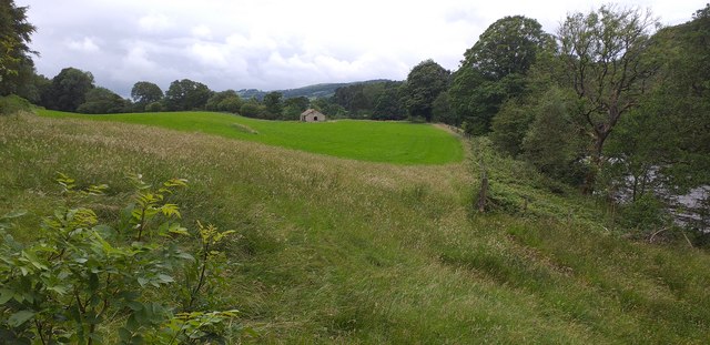
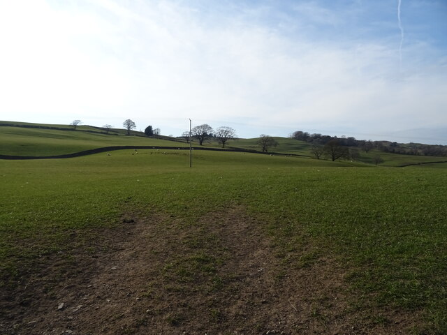
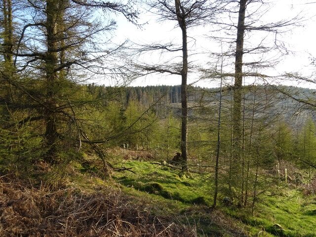
Hodgson's Hill is a prominent hill located in the county of Westmorland, England. Situated in the Lake District National Park, it is surrounded by picturesque landscapes and is a popular destination for nature enthusiasts and hikers alike.
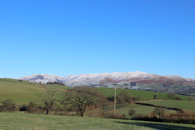
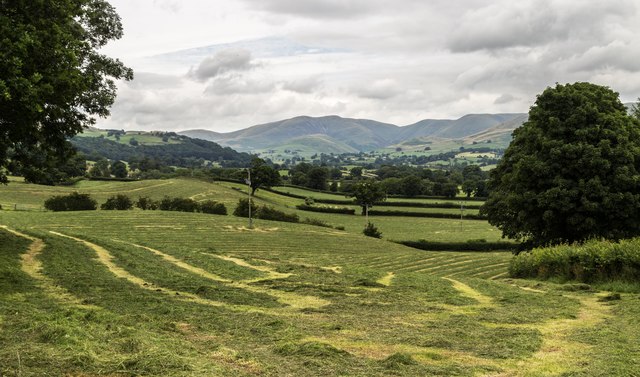
Rising to an elevation of approximately 1,000 feet (305 meters), Hodgson's Hill offers breathtaking panoramic views of the surrounding area. From its summit, visitors can marvel at the stunning vistas of rolling green hills, meandering rivers, and nearby mountains, including the iconic Helvellyn and Skiddaw.
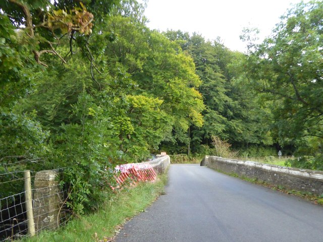
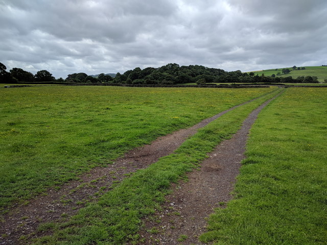
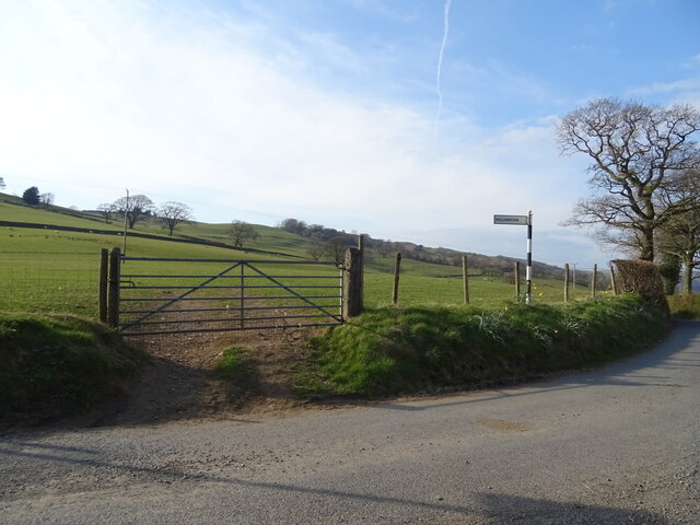
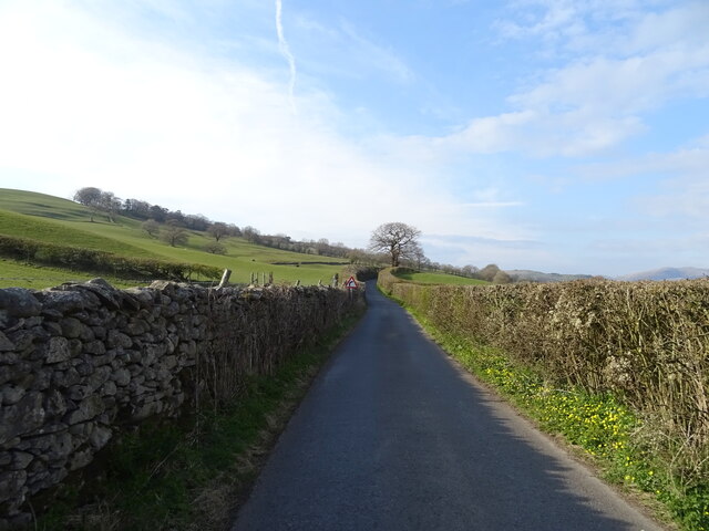
The hill is accessible via various well-marked trails, making it an ideal spot for outdoor activities such as hiking, walking, and birdwatching. The paths leading up to the summit are relatively gentle, making it suitable for individuals of all ages and fitness levels.
Hodgson's Hill is also known for its rich history. It is named after the Hodgson family, who were prominent landowners in the area during the 18th and 19th centuries. It is believed that the hill was once used for grazing livestock and provided a vantage point for the Hodgson family to oversee their land.
Today, Hodgson's Hill is a haven for wildlife and boasts a diverse range of flora and fauna. The surrounding area is home to various species of birds, including buzzards, kestrels, and peregrine falcons. Additionally, wildflowers such as bluebells, primroses, and heather dot the landscape, adding bursts of color to the scenery.
Overall, Hodgson's Hill is a must-visit destination for nature lovers and those seeking a tranquil escape in the heart of the Lake District. Its stunning views, historical significance, and abundant wildlife make it a truly special place to explore.
If you have any feedback on the listing, please let us know in the comments section below.
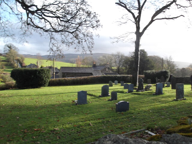
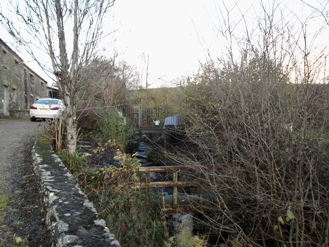
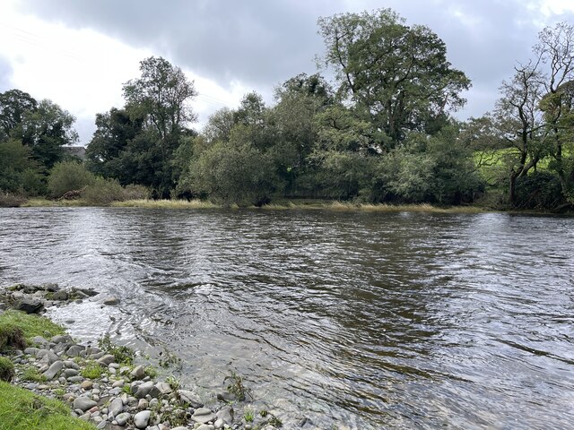
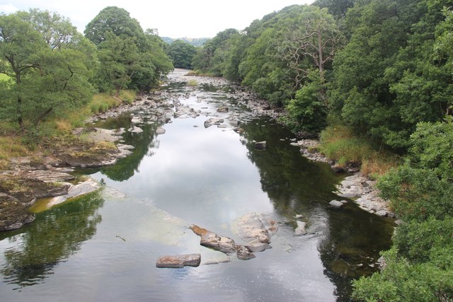
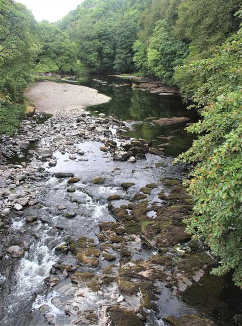
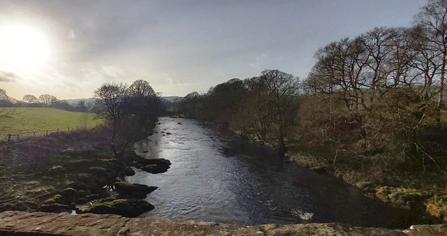
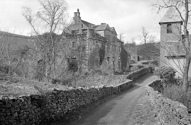
Hodgson's Hill Images
Images are sourced within 2km of 54.31042/-2.596362 or Grid Reference SD6190. Thanks to Geograph Open Source API. All images are credited.

Hodgson's Hill is located at Grid Ref: SD6190 (Lat: 54.31042, Lng: -2.596362)
Administrative County: Cumbria
District: South Lakeland
Police Authority: Cumbria
What 3 Words
///warms.rates.waxes. Near Sedbergh, Cumbria
Nearby Locations
Related Wikis

Killington, Cumbria
Killington is a village and civil parish in the South Lakeland district of the county of Cumbria, England. It had a population of 152 in 2001, At the...

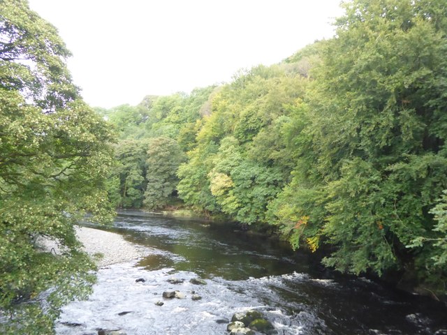
River Rawthey
The River Rawthey is a river in Cumbria in northwest England. The headwaters of the Rawthey are at Rawthey Gill Foot, where Rawthey Gill meets Haskhaw...

Killington Lake Services
Killington Lake Services is a motorway service station on the M6 motorway between Junctions 37 and 36 near Killington Lake in Cumbria, England. It was...

St Gregory's Church, Vale of Lune
St Gregory's Church, Vale of Lune, also known as the Vale of Lune Chapel, is a redundant Anglican church situated on the A684 road about 1.5 miles (2 km...
Nearby Amenities
Located within 500m of 54.31042,-2.596362Have you been to Hodgson's Hill?
Leave your review of Hodgson's Hill below (or comments, questions and feedback).