Barcelona
Settlement in Cornwall
England
Barcelona
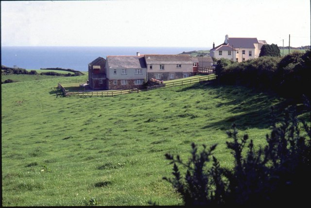
Barcelona, Cornwall is a quaint coastal village nestled on the southern coast of Cornwall, England. It is located approximately 5 miles southwest of the town of St. Austell and is known for its stunning natural beauty and rich history.
The village is set against the backdrop of picturesque rolling hills, with breathtaking views of the English Channel. Its prime location makes it a popular destination for nature lovers, hikers, and beach enthusiasts. The nearby beaches, such as Porthpean Beach and Duporth Beach, offer golden sands and crystal-clear waters, perfect for swimming, sunbathing, and water sports.
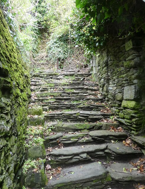
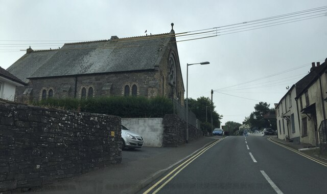
Barcelona is also steeped in history, with its roots dating back to the medieval times. The village is home to several historical landmarks, including the iconic St. Bartholomew's Church, which dates back to the 13th century. Visitors can explore the ancient streets and discover remnants of its past, such as old stone cottages and traditional fishing harbors.
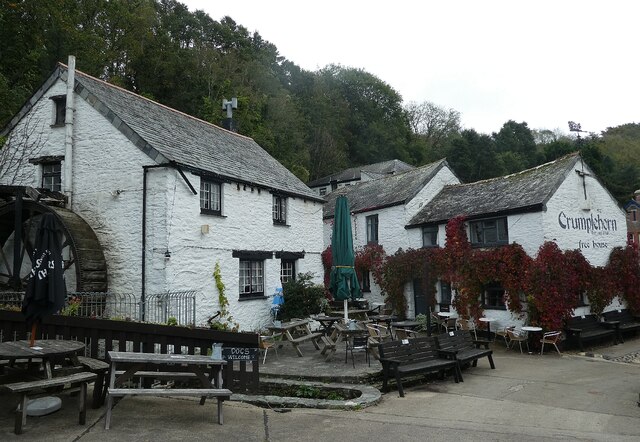
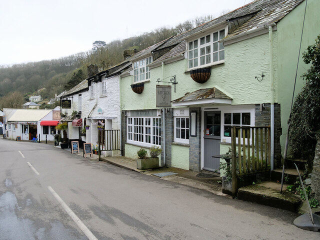
In addition to its natural beauty and historical charm, Barcelona offers a range of amenities to cater to tourists. It boasts a selection of cozy cafes, charming pubs, and local shops selling handmade crafts and souvenirs. Visitors can indulge in delicious seafood at the village's renowned seafood restaurants, which offer fresh catches of the day.
Overall, Barcelona, Cornwall is a hidden gem on the Cornish coastline, offering a perfect blend of natural beauty, history, and coastal charm. It continues to attract visitors from all over the world seeking a relaxing and authentic English coastal experience.
If you have any feedback on the listing, please let us know in the comments section below.
Barcelona Images
Images are sourced within 2km of 50.349639/-4.5173819 or Grid Reference SX2153. Thanks to Geograph Open Source API. All images are credited.


Barcelona is located at Grid Ref: SX2153 (Lat: 50.349639, Lng: -4.5173819)
Unitary Authority: Cornwall
Police Authority: Devon and Cornwall
What 3 Words
///lentil.digits.prank. Near Polperro, Cornwall
Nearby Locations
Related Wikis
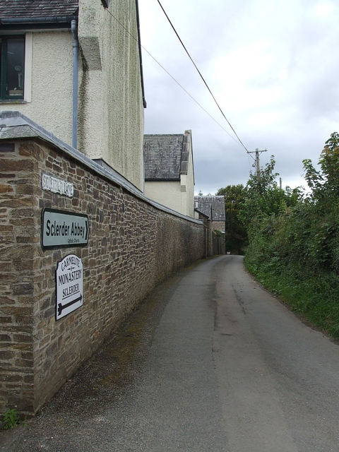
Sclerder Abbey
Sclerder Abbey (pronounced: Sklerder Abby; Cornish: Abatty Clerder, meaning Abbey of Clarity) is a former Carmelite monastery in Cornwall, England, UK...
Barcelona, Cornwall
Barcelona (Cornish: Krows Trevelowen, meaning Cross at Trelawne) is a hamlet in the parish of Pelynt in south-east Cornwall, England, UK. == Geography... ==

Carey Park, Cornwall
Carey Park is a hamlet-estate in the civil parish of Polperro, in the Cornwall, in the ceremonial county of Cornwall, England. It is situated 600 metres...

Trelawne
Trelawne (Cornish: Trevelowen, meaning elm-tree homestead) is an historic manor in the parish of Pelynt in Cornwall, England, situated 20 miles (32 km...
Nearby Amenities
Located within 500m of 50.349639,-4.5173819Have you been to Barcelona?
Leave your review of Barcelona below (or comments, questions and feedback).