Cowhythe Hill
Hill, Mountain in Banffshire
Scotland
Cowhythe Hill

Cowhythe Hill is a prominent hill located in Banffshire, Scotland. Standing at an elevation of approximately 456 meters (1496 feet), it offers breathtaking panoramic views of the surrounding countryside and is a popular destination for hikers and nature enthusiasts.
Situated in the eastern part of Banffshire, Cowhythe Hill is known for its rugged beauty and diverse flora and fauna. The terrain is mainly composed of heather moorland, interspersed with patches of grassland and scattered trees. The hill is home to a wide range of wildlife, including red deer, mountain hares, and various bird species, making it a haven for wildlife enthusiasts and birdwatchers.
The ascent to Cowhythe Hill is relatively moderate, with well-defined paths leading to the summit. Along the way, hikers can enjoy the sight of wildflowers and the occasional waterfall, adding to the charm of the journey. The summit offers stunning views of the surrounding countryside, including the picturesque River Deveron and the distant peaks of the Cairngorms National Park.
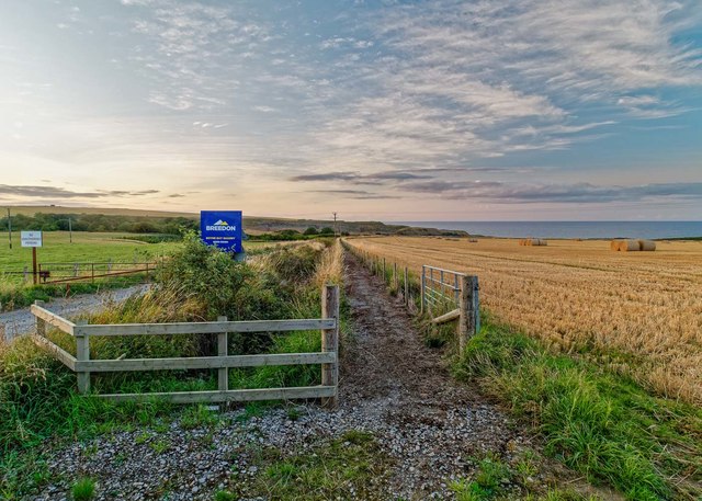
Cowhythe Hill is easily accessible by car, with a parking area located at the base of the hill. It is also a short distance from nearby towns, such as Huntly and Keith, making it a convenient day trip for visitors. The hill's natural beauty, combined with its accessibility, makes it a popular destination for outdoor enthusiasts seeking to experience the tranquility and grandeur of the Scottish countryside.
If you have any feedback on the listing, please let us know in the comments section below.
Cowhythe Hill Images
Images are sourced within 2km of 57.683163/-2.6611459 or Grid Reference NJ6066. Thanks to Geograph Open Source API. All images are credited.


Cowhythe Hill is located at Grid Ref: NJ6066 (Lat: 57.683163, Lng: -2.6611459)
Unitary Authority: Aberdeenshire
Police Authority: North East
What 3 Words
///ambition.crows.nails. Near Portsoy, Aberdeenshire
Nearby Locations
Related Wikis

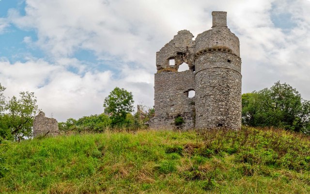
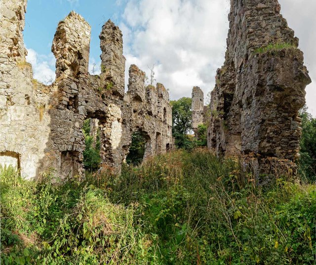
Boyne Castle
Boyne Castle (also known as the Palace of Boyne) is a 16th-century quadrangular castle about 1.5 miles (2.4 km) east of Portsoy, Aberdeenshire, Scotland...

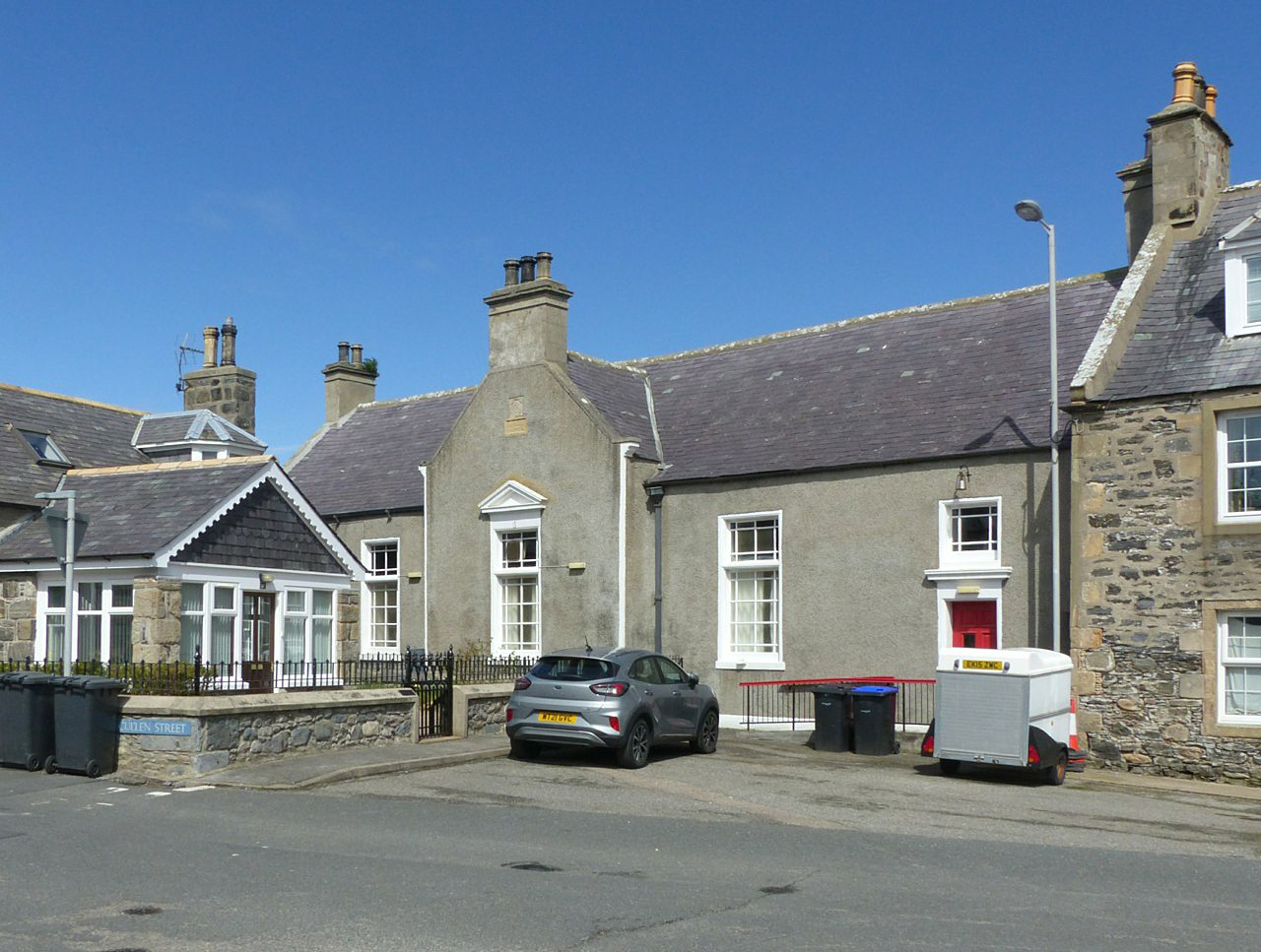
Portsoy
Portsoy (Scottish Gaelic: Port Saoidh) is a village in Aberdeenshire, Scotland. Historically, Portsoy was in Banffshire. The original name may come from...
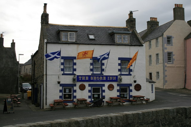
Shore Inn
The Shore Inn is a public house in Portsoy, Aberdeenshire, Scotland. Dating to the mid-18th century, it is now a Category C listed building. It is two...

Portsoy railway station
Portsoy railway station was a railway station in Portsoy, in current day Aberdeenshire. Opened in 1859 by the Banff, Portsoy and Strathisla Railway, it...
Old Town Hall, Portsoy
The Old Town Hall is a municipal building on the north side of The Square in Portsoy, Aberdeenshire, Scotland. The structure, which is used for religious...

RAF Banff
Royal Air Force Banff or more simply RAF Banff is a former Royal Air Force station located 4 miles (6 km) west of Banff, Aberdeenshire, Scotland and 14...
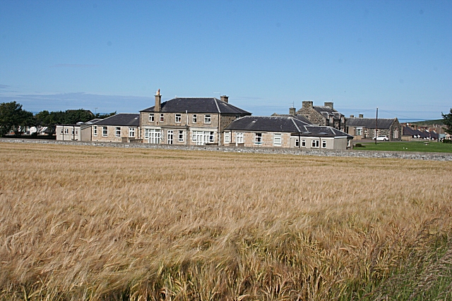
Campbell Hospital, Portsoy
Campbell Hospital was a National Health Service hospital in Portsoy, Aberdeenshire, Scotland. It was administered by NHS Grampian. == History == The hospital...
Boyndie
Boyndie is a village in Aberdeenshire, Scotland. == History == Boyndie was once home to RAF Banff Strike Wing, which played a pivotal role in protecting...
Nearby Amenities
Located within 500m of 57.683163,-2.6611459Have you been to Cowhythe Hill?
Leave your review of Cowhythe Hill below (or comments, questions and feedback).