King's Head
Coastal Feature, Headland, Point in Banffshire
Scotland
King's Head

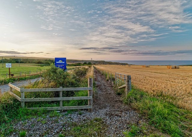
King's Head is a prominent coastal feature located in Banffshire, Scotland. This headland, also known as a point, juts out into the North Sea and is characterized by its rocky cliffs and stunning views.
Situated on the eastern coast of Scotland, King's Head offers a commanding presence with its towering cliffs that reach up to 200 feet in height. These cliffs are made of sedimentary rocks, primarily sandstone and shale, which have been shaped by centuries of erosion from the relentless waves of the North Sea. The rugged terrain creates a dramatic and picturesque landscape that attracts both locals and tourists alike.
From atop King's Head, visitors are treated to breathtaking panoramic views of the surrounding area. On clear days, one can see the vast expanse of the North Sea stretching out towards the horizon, while the nearby coastal towns of Banff and Macduff can be seen nestled along the coastline. The headland also offers a vantage point for observing marine wildlife, with seals often spotted basking on the rocks below.
Access to King's Head is made possible through well-maintained footpaths that wind their way along the cliffs, providing adventurous hikers with the opportunity to explore the headland and its surroundings. However, caution is advised as the terrain can be treacherous, especially during inclement weather.
In conclusion, King's Head in Banffshire is a remarkable coastal feature renowned for its majestic cliffs, stunning views, and abundant wildlife. It is a must-visit destination for nature enthusiasts seeking a unique and awe-inspiring experience on Scotland's eastern coast.
If you have any feedback on the listing, please let us know in the comments section below.
King's Head Images
Images are sourced within 2km of 57.68828/-2.6633189 or Grid Reference NJ6066. Thanks to Geograph Open Source API. All images are credited.


King's Head is located at Grid Ref: NJ6066 (Lat: 57.68828, Lng: -2.6633189)
Unitary Authority: Aberdeenshire
Police Authority: North East
What 3 Words
///mixing.prelude.drank. Near Portsoy, Aberdeenshire
Nearby Locations
Related Wikis

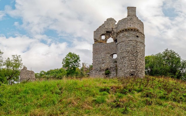
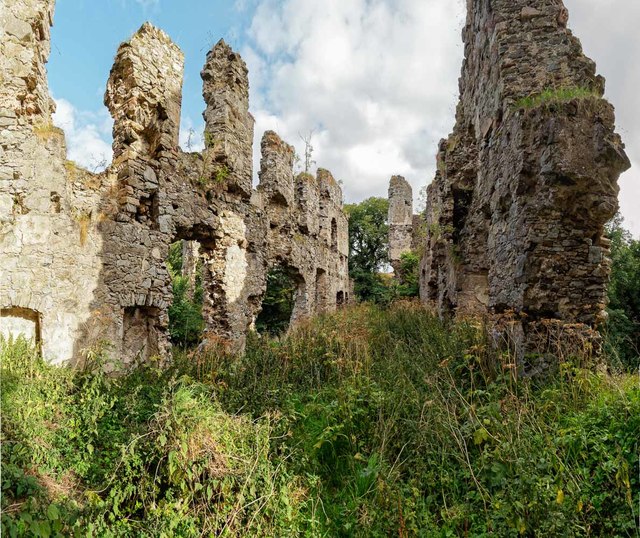
Boyne Castle
Boyne Castle (also known as the Palace of Boyne) is a 16th-century quadrangular castle about 1.5 miles (2.4 km) east of Portsoy, Aberdeenshire, Scotland...

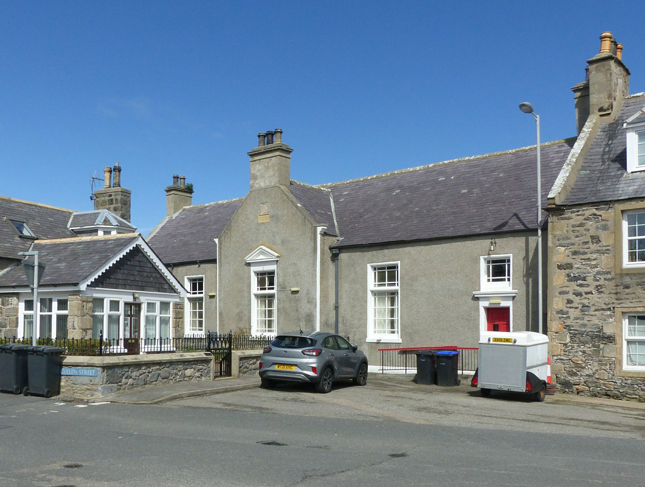
Portsoy
Portsoy (Scottish Gaelic: Port Saoidh) is a village in Aberdeenshire, Scotland. Historically, Portsoy was in Banffshire. The original name may come from...
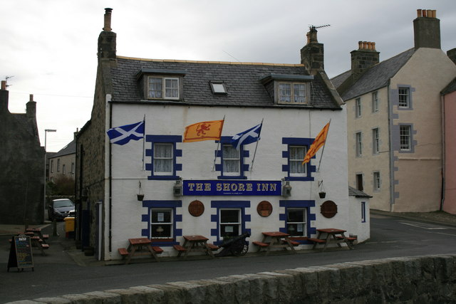
Shore Inn
The Shore Inn is a public house in Portsoy, Aberdeenshire, Scotland. Dating to the mid-18th century, it is now a Category C listed building. It is two...
Old Town Hall, Portsoy
The Old Town Hall is a municipal building on the north side of The Square in Portsoy, Aberdeenshire, Scotland. The structure, which is used for religious...

Portsoy railway station
Portsoy railway station was a railway station in Portsoy, in current day Aberdeenshire. Opened in 1859 by the Banff, Portsoy and Strathisla Railway, it...
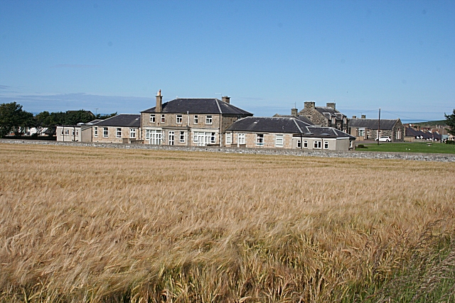
Campbell Hospital, Portsoy
Campbell Hospital was a National Health Service hospital in Portsoy, Aberdeenshire, Scotland. It was administered by NHS Grampian. == History == The hospital...

RAF Banff
Royal Air Force Banff or more simply RAF Banff is a former Royal Air Force station located 4 miles (6 km) west of Banff, Aberdeenshire, Scotland and 14...
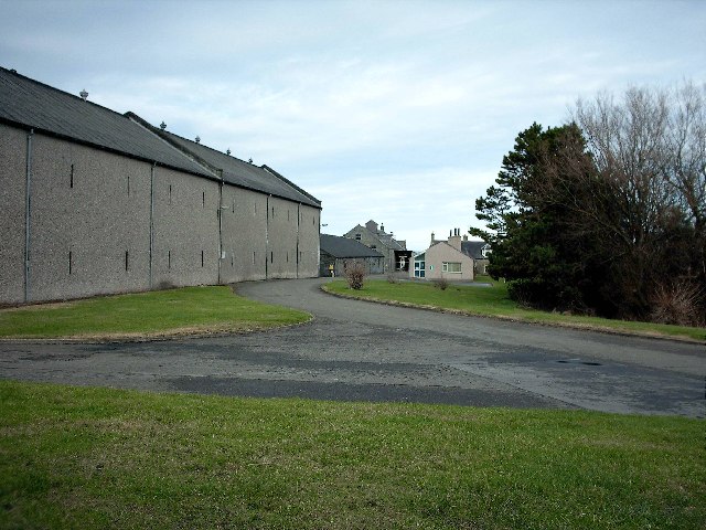
Glenglassaugh distillery
Glenglassaugh distillery is a malt scotch whisky distillery which restarted production in November 2008 after being acquired by an independent investment...
Related Videos

Portsoy Scotland Walking Tour 4K, Jan 2023
Portsoy Scotland Walking Tour 4K, Jan 2023. Portsoy is a town in Aberdeenshire, Scotland. Historically, Portsoy was in Banffshire.
![[4k] Aberdeenshire Walking Trail - Portsoy [Before Coronavirus]](https://i.ytimg.com/vi/WnffEPYwL_s/hqdefault.jpg)
[4k] Aberdeenshire Walking Trail - Portsoy [Before Coronavirus]
This lovely walk starts at the pretty village of Sandend before heading across land to the fishing town of Portsoy before returning ...

Easy but powerful ways to get beautiful travel photos (Calm shots with a Canon R5)
I show how I explore a new travel location looking for images that capture the beauty of the area, as well as how using prime ...

Portsoy, Scotland by Drone
Music from Uppbeat (free for Creators!): https://uppbeat.io/t/moire/laniakea License code: ZFNFPSZKRAI9RYOQ.
Nearby Amenities
Located within 500m of 57.68828,-2.6633189Have you been to King's Head?
Leave your review of King's Head below (or comments, questions and feedback).