Nanwick Hill

Hill, Mountain in Cumberland Carlisle

England

Nanwick Hill

Turf Wall and Vallum at High House, Hadrian's Wall Earthworks of the turf wall and vallum lie next to each other. Turf wall on right and vallum on the left.
Turf Wall and Vallum at High House, Hadrian's Wall Credit: Sandy Gerrard

Nanwick Hill is a prominent hill located in the county of Cumberland, England. Situated near the village of Nanwick, the hill stands at an elevation of approximately 1,694 feet (516 meters) above sea level, making it one of the notable peaks in the region.

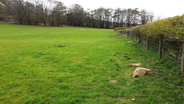
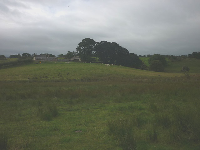
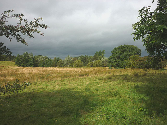
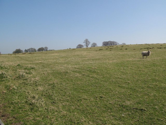
The hill is part of the Lake District National Park, a renowned area known for its stunning natural beauty and diverse landscape. Nanwick Hill is surrounded by picturesque valleys, rolling hills, and dense forests, providing visitors with breathtaking views and a tranquil atmosphere.

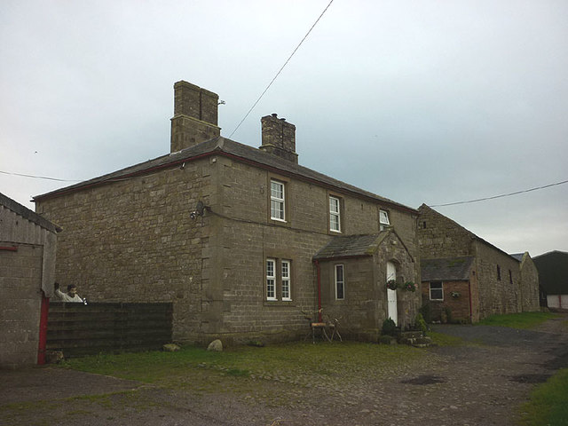
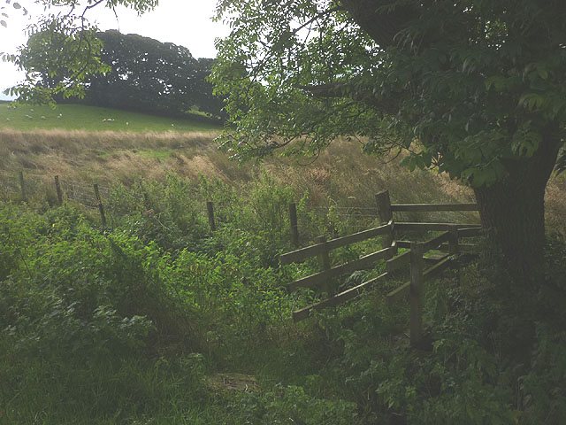
Access to Nanwick Hill is possible via several walking routes and trails, catering to both experienced hikers and casual walkers. One popular route starts from the nearby village of Nanwick, taking visitors through lush meadows and up the steep ascent to the summit. The trail offers panoramic vistas of the surrounding countryside, including nearby lakes and other peaks in the Lake District.

Nanwick Hill is also home to a variety of wildlife and plant species, adding to the ecological significance of the area. Rare bird species can be spotted in the vicinity, making it a popular destination for birdwatchers and nature enthusiasts.

Overall, Nanwick Hill is a remarkable natural landmark in Cumberland, offering visitors the opportunity to immerse themselves in the beauty of the Lake District and explore its diverse flora and fauna.

If you have any feedback on the listing, please let us know in the comments section below.

Nanwick Hill Images

Images are sourced within 2km of 54.990002/-2.6271234 or Grid Reference NY5966. Thanks to Geograph Open Source API. All images are credited.

Turf Wall and Vallum at High House, Hadrian's Wall Earthworks of the turf wall and vallum lie next to each other. Turf wall on right and vallum on the left.
Turf Wall and Vallum at High House, Hadrian's Wall
Earthworks of the turf wall and vallum lie next to each other. Turf wall on right and vallum on the left.
Birdoswald West, Turret 49b on Hadrian's Wall This turret replaced an earlier one on the nearby turf wall.
Birdoswald West, Turret 49b on Hadrian's Wall
This turret replaced an earlier one on the nearby turf wall.
Eastern Gate at Birdoswald Roman Fort Similar angle but more than 40 years later than <a href="https://www.geograph.org.uk/photo/6747428">NY6166 : Eastern Gate at Birdoswald Roman Fort</a>. The tree behind the gateway is now much smaller than it was in the 1970's.
Eastern Gate at Birdoswald Roman Fort
Similar angle but more than 40 years later than NY6166 : Eastern Gate at Birdoswald Roman Fort. The tree behind the gateway is now much smaller than it was in the 1970's.
Corner of field on south side of road east of High Town Ordnance Survey documents indicate that a benchmark levelled at 123.904m above Newlyn Datum was verified in 1955 on the stone wall at the far side of the field, about 3m from the fence
Corner of field on south side of road east of High Town
Ordnance Survey documents indicate that a benchmark levelled at 123.904m above Newlyn Datum was verified in 1955 on the stone wall at the far side of the field, about 3m from the fence
Gateway to field and woodland with footpath to Denton Mains
View of train over field gate on south side of road south of Denton Mains The train is a Northern Carlisle to Newcastle service using Class 156/0 Super Sprinter number 156447.  The notice on the gate  advises Network Rail personnel that they would be trespassing without prior permission to access the railway from here.
View of train over field gate on south side of road south of Denton Mains
The train is a Northern Carlisle to Newcastle service using Class 156/0 Super Sprinter number 156447. The notice on the gate advises Network Rail personnel that they would be trespassing without prior permission to access the railway from here.
Benchmark on boulder in field beside fence on SE side of road SW of Denton Mains Ordnance Survey rivet benchmark levelled at 123.042m above Newlyn Datum verified 1955.
Benchmark on boulder in field beside fence on SE side of road SW of Denton Mains
Ordnance Survey rivet benchmark levelled at 123.042m above Newlyn Datum verified 1955.
Field on SE side of road NE of High Town There is an Ordnance Survey benchmark <a href="https://www.geograph.org.uk/photo/7468506">NY6064 : Benchmark on boulder in field beside fence on SE side of road SW of Denton Mains</a> on the boulder near the fence in the right foreground
Field on SE side of road NE of High Town
There is an Ordnance Survey benchmark NY6064 : Benchmark on boulder in field beside fence on SE side of road SW of Denton Mains on the boulder near the fence in the right foreground
Drinking troughs Fed by a spring that emerges from the rear wall. Excess water flows into the nearby Harrow's Beck.
Drinking troughs
Fed by a spring that emerges from the rear wall. Excess water flows into the nearby Harrow's Beck.
Drainage through the Roman Wall
The track to Dumblar Rigg Looking over the valley of King water towards the vast wastes of Spadeadam Forest.
The track to Dumblar Rigg
Looking over the valley of King water towards the vast wastes of Spadeadam Forest.
Triermain Farm Sturdy stone farmhouse north of Hadrian's Wall. Note: that is NOT the farmer clutching a can of Stella (it's a humorous scarecrow).
Triermain Farm
Sturdy stone farmhouse north of Hadrian's Wall. Note: that is NOT the farmer clutching a can of Stella (it's a humorous scarecrow).
Rough pasture below Hall Guards
Footbridge over Mill Beck
Rough grassland by Mill Beck
Meander on King Water Looking towards the farmhouse of Snowden Close.
Meander on King Water
Looking towards the farmhouse of Snowden Close.
St. Cuthbert's Church, Nether Denton
Lanerton Ford This ford is found on the River Irthing at Lanerton.
Lanerton Ford
This ford is found on the River Irthing at Lanerton.
Show me another place!

Nanwick Hill is located at Grid Ref: NY5966 (Lat: 54.990002, Lng: -2.6271234)

Administrative County: Cumbria

District: Carlisle

Police Authority: Cumbria

What 3 Words

///hazy.report.officials. Near Greenhead, Northumberland

Nearby Locations

Nanwick Hill

Related Wikis

Waterhead, Carlisle

Waterhead is a civil parish in Carlisle district, Cumbria, England. At the 2011 census it had a population of 130.The east and south boundaries of the...
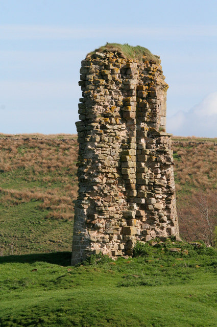
Triermain Castle

Triermain Castle was a castle near Brampton, Cumbria, England. Triermain, Cumbria (Trewermain, Treverman c 1200): 'homestead at the stone' (Welsh tre(f...

Milecastle 50

Milecastle 50 (High House) was a milecastle on Hadrian's Wall (grid reference NY60676601). == Description == Milecastle 50 is west of Birdoswald fort....
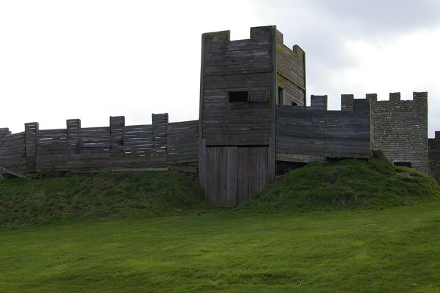
Milecastle 50TW

Milecastle 50TW (High House) was a milecastle on the Turf Wall section of Hadrian's Wall (grid reference NY60716583). The milecastle is located close...

Have you been to Nanwick Hill?

Leave your review of Nanwick Hill below (or comments, questions and feedback).