Coomb Edge

Hill, Mountain in Roxburghshire

Scotland

Coomb Edge

View to East Hill
View to East Hill Credit: Mick Garratt

Coomb Edge is a prominent hill located in Roxburghshire, a historic county in the southern region of Scotland. Situated amidst the picturesque Scottish Borders, Coomb Edge is a notable natural landmark that attracts both locals and visitors alike.

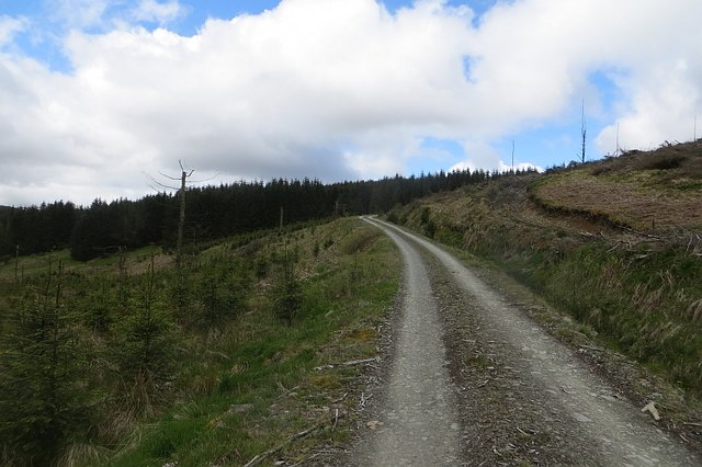
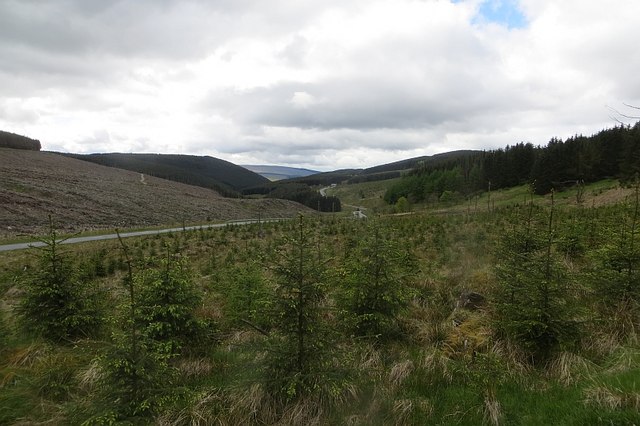
Standing at an elevation of approximately 500 meters (1,640 feet), Coomb Edge offers breathtaking views of the surrounding countryside. The hill boasts a gently sloping terrain, covered in lush green vegetation, and is often adorned with colorful wildflowers during the spring and summer months. Its distinctive shape and location make it a popular spot for hikers, nature enthusiasts, and photographers.

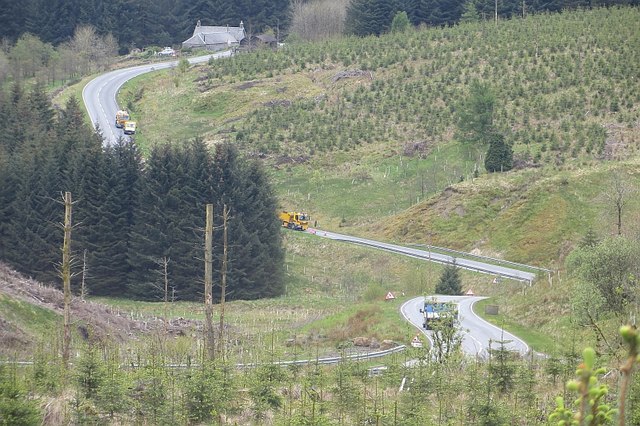
The summit of Coomb Edge provides an uninterrupted panorama of the rolling Scottish landscape. On a clear day, one can see the meandering rivers, verdant valleys, and distant peaks that form the backdrop of this stunning region. The hill is also home to an array of wildlife, including various bird species and small mammals, adding to its ecological significance.

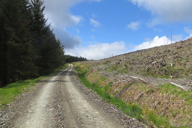
Coomb Edge offers several well-marked trails and paths that cater to different levels of fitness and hiking experience. These routes provide opportunities for leisurely walks, challenging hikes, and even mountain biking. The hill is accessible from nearby villages and towns, with designated parking areas and information boards available to guide visitors.

In summary, Coomb Edge is a captivating hill in Roxburghshire, Scotland, renowned for its natural beauty, captivating views, and abundant wildlife. It is a cherished destination for outdoor enthusiasts seeking an immersive experience in the Scottish countryside.

If you have any feedback on the listing, please let us know in the comments section below.
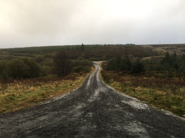
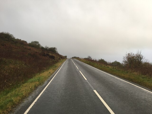
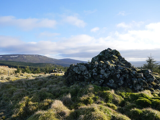
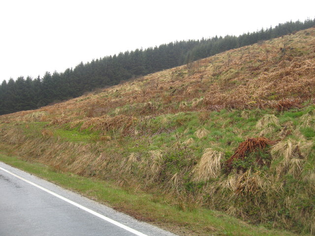
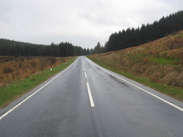
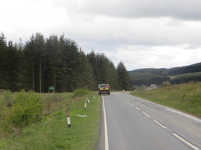
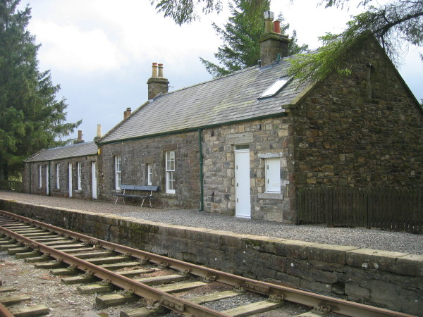
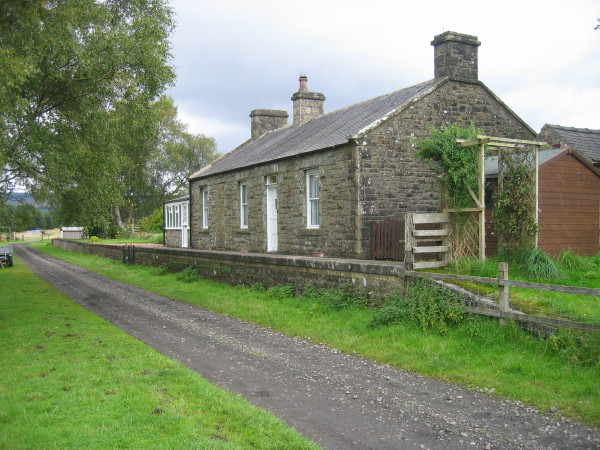
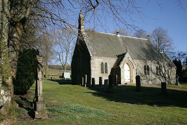
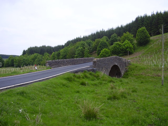
Coomb Edge Images

Images are sourced within 2km of 55.30492/-2.6360379 or Grid Reference NT5901. Thanks to Geograph Open Source API. All images are credited.
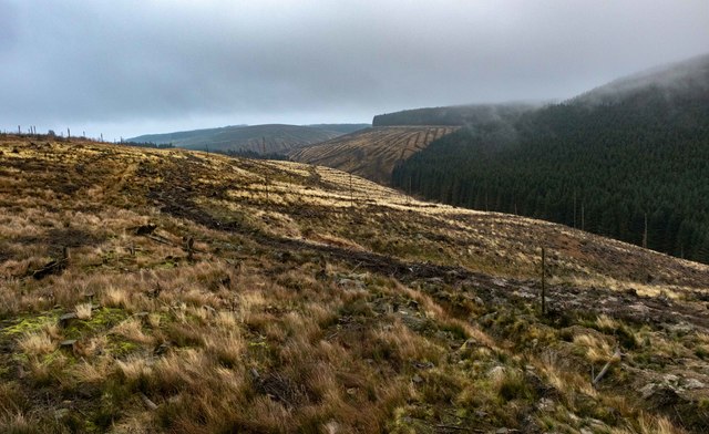
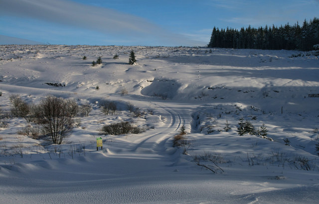
View to East Hill
View to East Hill
Entrance into Wauchope Forest
B6357 towards Bonchester Bridge
Caddroun Burn Clear fell near Caddroun Burn.
Caddroun Burn
Clear fell near Caddroun Burn.
Logging road between Wheelrig Head and Needs Law A firm forestry track approaching Needs Law.  There are several coupes being harvested in this corner of the Wauchope Forest.

This photograph was taken during the Coronavirus (COVID-19) pandemic of 2020/21.
Logging road between Wheelrig Head and Needs Law
A firm forestry track approaching Needs Law. There are several coupes being harvested in this corner of the Wauchope Forest. This photograph was taken during the Coronavirus (COVID-19) pandemic of 2020/21.
Mag and the Bairns on Needs Law A large cairn and a smaller example at the summit of Needs Law, much of which has been quarried for forestry road stone. These cairns (was there perhaps a third?) were used by shepherds in the 19th century as a reference point in foggy conditions.  In the distance, Peel Fell still holds some patches of snow whilst Deadwater Fell is to the right.

This photograph was taken during the Coronavirus (COVID-19) pandemic of 2020/21.
Mag and the Bairns on Needs Law
A large cairn and a smaller example at the summit of Needs Law, much of which has been quarried for forestry road stone. These cairns (was there perhaps a third?) were used by shepherds in the 19th century as a reference point in foggy conditions. In the distance, Peel Fell still holds some patches of snow whilst Deadwater Fell is to the right. This photograph was taken during the Coronavirus (COVID-19) pandemic of 2020/21.
Rushy Rig Forestry coupe name boards aren't terribly accurate in these parts going by this example and Meg [sic] and the Bairns just to the east.

This photograph was taken during the Coronavirus (COVID-19) pandemic of 2020/21.
Rushy Rig
Forestry coupe name boards aren't terribly accurate in these parts going by this example and Meg [sic] and the Bairns just to the east. This photograph was taken during the Coronavirus (COVID-19) pandemic of 2020/21.
By the Dry Sike A deciduous tree in the small gully of the Dry Sike in the Wauchope Forest.

This photograph was taken during the Coronavirus (COVID-19) pandemic of 2020/21.
By the Dry Sike
A deciduous tree in the small gully of the Dry Sike in the Wauchope Forest. This photograph was taken during the Coronavirus (COVID-19) pandemic of 2020/21.
Wane Cleuch The B6357 crossing Wane Cleuch near Singdean.
Wane Cleuch
The B6357 crossing Wane Cleuch near Singdean.
Note o'the Gate Note o'the Gate at the head of Swire Sike in Wauchope Forest.  See also <a href="https://www.geograph.org.uk/photo/1917943">NT5802 : Forestry road at Wauchope Forest</a>.
Note o'the Gate
Note o'the Gate at the head of Swire Sike in Wauchope Forest. See also NT5802 : Forestry road at Wauchope Forest.
Steep banking and woodland at the side of the B6357 Near the Note o' the Gate in the Wauchope Forest in Roxburghshire.
Steep banking and woodland at the side of the B6357
Near the Note o' the Gate in the Wauchope Forest in Roxburghshire.
The B6357  heading south Through the Wauchope Forest in Roxburghshire.
The B6357 heading south
Through the Wauchope Forest in Roxburghshire.
Note o' the Gate The Jedburgh to Carlisle road crosses the east-west watershed. There was a team of road repairers at work today.
Note o' the Gate
The Jedburgh to Carlisle road crosses the east-west watershed. There was a team of road repairers at work today.
Logging road, Wauchope Forest In a privately managed part of the forest near Note o' the Gate. I did not get far as clear felling was in progress near the track further in.
Logging road, Wauchope Forest
In a privately managed part of the forest near Note o' the Gate. I did not get far as clear felling was in progress near the track further in.
Young trees, Wauchope Forest On the south side of the watershed at Note o' the Gate.
Young trees, Wauchope Forest
On the south side of the watershed at Note o' the Gate.
Road works, Murderdean Sike Patching up the B6357 near Singdean.
Road works, Murderdean Sike
Patching up the B6357 near Singdean.
Logging road, Wauchope Forest Rounding a spur on Dogbank Hill. This part of the forest is managed by UPM Tilhill and is almost entirely commercial conifers.
Logging road, Wauchope Forest
Rounding a spur on Dogbank Hill. This part of the forest is managed by UPM Tilhill and is almost entirely commercial conifers.
Clear felled area, Wauchope Forest Dogbank Hill, above the logging road.
Clear felled area, Wauchope Forest
Dogbank Hill, above the logging road.
Show me another place!

Coomb Edge is located at Grid Ref: NT5901 (Lat: 55.30492, Lng: -2.6360379)

Unitary Authority: The Scottish Borders

Police Authority: The Lothians and Scottish Borders

What 3 Words

///cemented.finishing.gobbling. Near Hawick, Scottish Borders

Related Wikis

Nearby Amenities

Located within 500m of 55.30492,-2.6360379
Coomb Edge
Ele: 442
Natural: peak
Lat/Long: 55.3045961/-2.6365757
The data included in this document is from www.openstreetmap.org. The data is made available under ODbL.

Have you been to Coomb Edge?

Leave your review of Coomb Edge below (or comments, questions and feedback).