Caddroun Rig

Hill, Mountain in Roxburghshire

Scotland

Caddroun Rig

Culvert beneath the abandoned railway The Caddroun Burn flows through a culvert beneath the embankment which carried the Border Counties Railway from Riccarton Junction to Hexham.
Culvert beneath the abandoned railway Credit: Jonathan Thacker

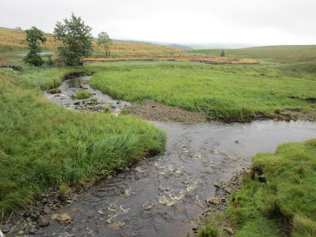
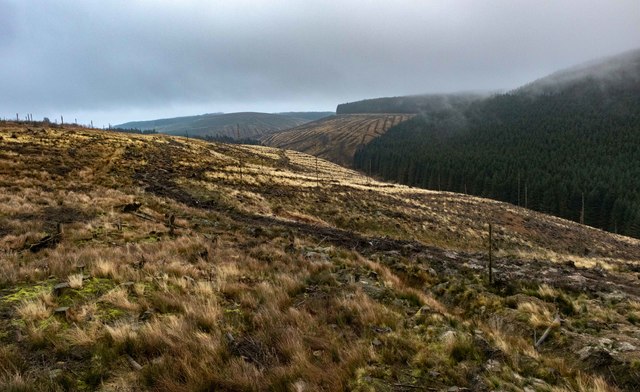
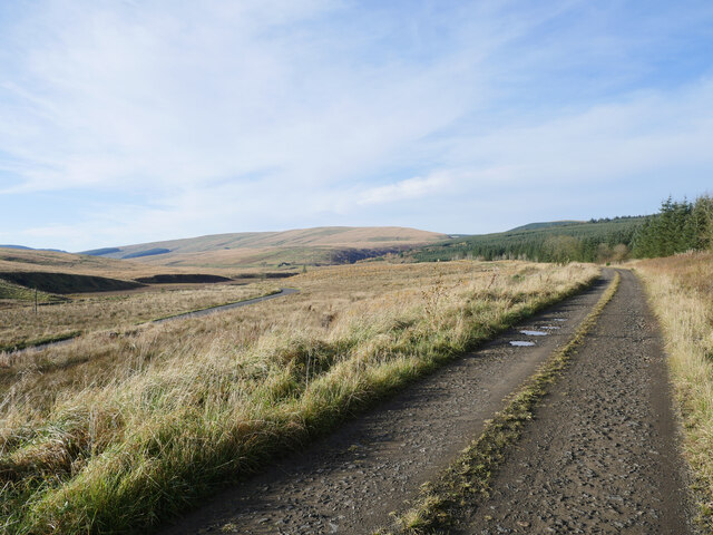
Caddroun Rig is a prominent hill located in Roxburghshire, a historic county in the Scottish Borders region of Scotland. It stands at an elevation of approximately 339 meters (1,112 feet) above sea level. This hill is situated near the village of Ancrum, about 5 kilometers (3 miles) northwest of Jedburgh.

Caddroun Rig is a popular destination for outdoor enthusiasts, offering stunning panoramic views of the surrounding countryside. Its location within the Scottish Borders provides visitors with a chance to explore the diverse landscapes of the area, including rolling hills, farmland, and wooded areas.

The hill is easily accessible, with various footpaths and trails leading to its summit. Hikers and walkers can choose from a range of routes, each offering a different level of difficulty. On clear days, reaching the top rewards visitors with breathtaking vistas of the Cheviot Hills to the south and the Eildon Hills to the north.

Caddroun Rig is also known for its abundance of wildlife, including various bird species such as kestrels and buzzards. The surrounding area is home to a diverse range of flora and fauna, making it an excellent spot for nature enthusiasts and birdwatchers.

Overall, Caddroun Rig is a picturesque hill in Roxburghshire, offering visitors the opportunity to enjoy scenic walks, take in breathtaking views, and immerse themselves in the natural beauty of the Scottish Borders.

If you have any feedback on the listing, please let us know in the comments section below.
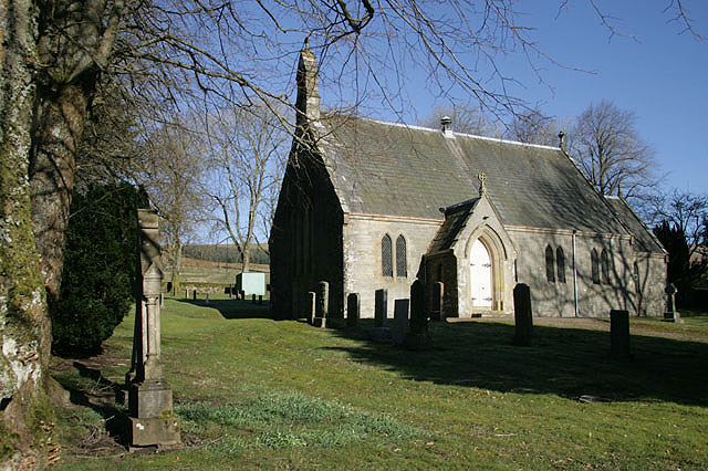
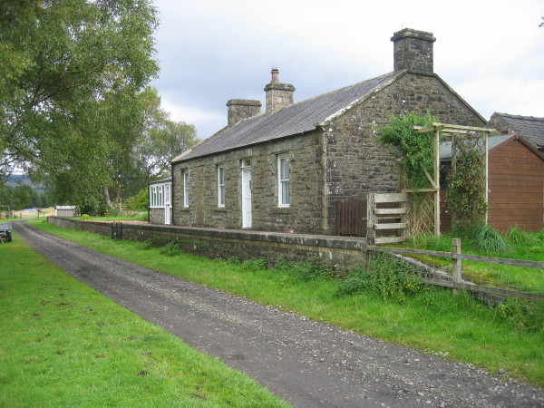
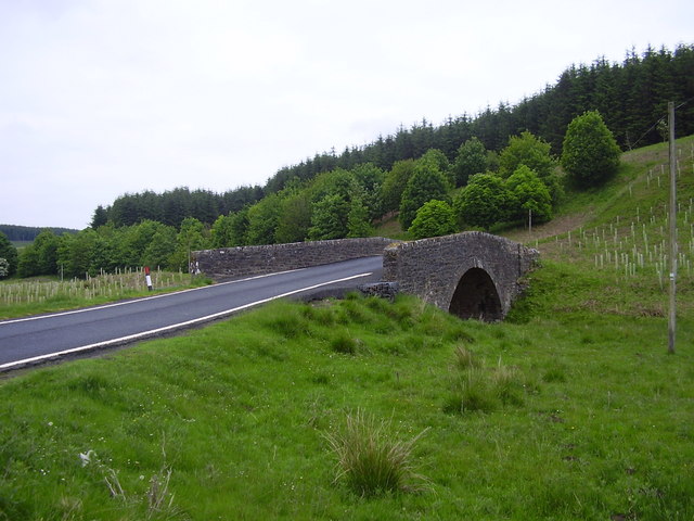
Caddroun Rig Images

Images are sourced within 2km of 55.28799/-2.65811 or Grid Reference NY5899. Thanks to Geograph Open Source API. All images are credited.

Culvert beneath the abandoned railway The Caddroun Burn flows through a culvert beneath the embankment which carried the Border Counties Railway from Riccarton Junction to Hexham.
Culvert beneath the abandoned railway
The Caddroun Burn flows through a culvert beneath the embankment which carried the Border Counties Railway from Riccarton Junction to Hexham.
Track up to the old bridge The bridge crossed to Border Counties railway which ran from Hexham to Riccarton Junction.
Track up to the old bridge
The bridge crossed to Border Counties railway which ran from Hexham to Riccarton Junction.
Sheepfold by the road Close to the Saughtree to Kielder road.
Sheepfold by the road
Close to the Saughtree to Kielder road.
The meeting of the waters The Caddroun Burn in the foreground meets another burn to from the Liddel Water which flows off to the right.
The meeting of the waters
The Caddroun Burn in the foreground meets another burn to from the Liddel Water which flows off to the right.
Liddel Water
Liddel Water
Course of the Border Counties Railway The railway ran on top of the embankment which crosses this picture.
Course of the Border Counties Railway
The railway ran on top of the embankment which crosses this picture.
Caddroun Burn Clear fell near Caddroun Burn.
Caddroun Burn
Clear fell near Caddroun Burn.
Platelayer's hut on the former Border Counties Railway Following the route of the former Border Counties Railway, a dilapidated platelayer's hut can be noted at Hudshouse Rig.  In the distance, in line with the hut is Peel Fell, with Deadwater Fell to the far right.

This photograph was taken during the Coronavirus (COVID-19) pandemic of 2020.
Platelayer's hut on the former Border Counties Railway
Following the route of the former Border Counties Railway, a dilapidated platelayer's hut can be noted at Hudshouse Rig. In the distance, in line with the hut is Peel Fell, with Deadwater Fell to the far right. This photograph was taken during the Coronavirus (COVID-19) pandemic of 2020.
A bridge over the former railway A bridge over the former Border Counties Railway between Saughtree and Deadwater.

This photograph was taken during the Coronavirus (COVID-19) pandemic of 2020.
A bridge over the former railway
A bridge over the former Border Counties Railway between Saughtree and Deadwater. This photograph was taken during the Coronavirus (COVID-19) pandemic of 2020.
Following the former railway On the route of the former Border Counties Railway bound for Deadwater.  Beyond this location, the east, the former trackbed is now a forestry road.  Deadwater Fell can be noted in the distance.

This photograph was taken during the Coronavirus (COVID-19) pandemic of 2020.
Following the former railway
On the route of the former Border Counties Railway bound for Deadwater. Beyond this location, the east, the former trackbed is now a forestry road. Deadwater Fell can be noted in the distance. This photograph was taken during the Coronavirus (COVID-19) pandemic of 2020.
Forestry track near Myredykes This forestry track follows the route of the former Border Counties Railway between Deadwater and Saughtree.

This photograph was taken during the Coronavirus (COVID-19) pandemic of 2020.
Forestry track near Myredykes
This forestry track follows the route of the former Border Counties Railway between Deadwater and Saughtree. This photograph was taken during the Coronavirus (COVID-19) pandemic of 2020.
Remains of an occupation bridge The remains of an occupation bridge over the former Border Counties Railway to the east of Dawstonburn.

This photograph was taken during the Coronavirus (COVID-19) pandemic of 2020.
Remains of an occupation bridge
The remains of an occupation bridge over the former Border Counties Railway to the east of Dawstonburn. This photograph was taken during the Coronavirus (COVID-19) pandemic of 2020.
B6357 up to Wauchope Forest
Bridge over North British Railway, Border Counties Section, north of Kielder (1) In foreground is road bridge over Caddroun Burn.
Bridge over North British Railway, Border Counties Section, north of Kielder (1)
In foreground is road bridge over Caddroun Burn.
Underpass,  North British Railway, Border Counties Section, north of Kielder (1)
Underpass, North British Railway, Border Counties Section, north of Kielder (1)
Underpass, North British Railway, Border Counties Section, north of Kielder (2)
Peaty water of Caddroun Burn passing through culvert on Hudshouse Rig (1) Culvert under the former Border Counties Railway Line.
Peaty water of Caddroun Burn passing through culvert on Hudshouse Rig (1)
Culvert under the former Border Counties Railway Line.
Peaty water of Caddroun Burn passing through culvert on Hudshouse Rig (2) Culvert under the former Border Counties Railway Line.
Peaty water of Caddroun Burn passing through culvert on Hudshouse Rig (2)
Culvert under the former Border Counties Railway Line.
Show me another place!

Caddroun Rig is located at Grid Ref: NY5899 (Lat: 55.28799, Lng: -2.65811)

Unitary Authority: The Scottish Borders

Police Authority: The Lothians and Scottish Borders

What 3 Words

///movie.months.accompany. Near Hawick, Scottish Borders

Nearby Locations

Caddroun Rig

Related Wikis

Saughtree railway station

Saughtree railway station is a closed railway station situated a mile north of the hamlet of Saughtree and two miles from the border with England. ��2...

Saughtree

Saughtree is a hamlet in the Scottish Borders at the junction of the B6357 and an unnamed road from Kielder village in Northumberland, England. It is at...

Deadwater railway station

Deadwater railway station is a closed railway station situated on the border between England and Scotland at the head of the North Tyne River. The station...

Wauchope Forest

Wauchope Forest is a forest on the Rule Water, in the Scottish Borders area of Scotland, south of Hawick, and including the A6088, the A68 and the B6357...

Deadwater, Northumberland

Deadwater is a small settlement in Northumberland, England, about 3 miles (5 km) north west of Kielder, Northumberland, on the English side of the border...

Riccarton Junction railway station

Riccarton Junction, in the county of Roxburghshire in the Scottish Borders, was a railway village and station. In its heyday it had 118 residents and its...

Whitrope

Whitrope is a densely forested, but sparsely populated area, high in the Southern Upland hills in the south central Scottish Borders in the former county...
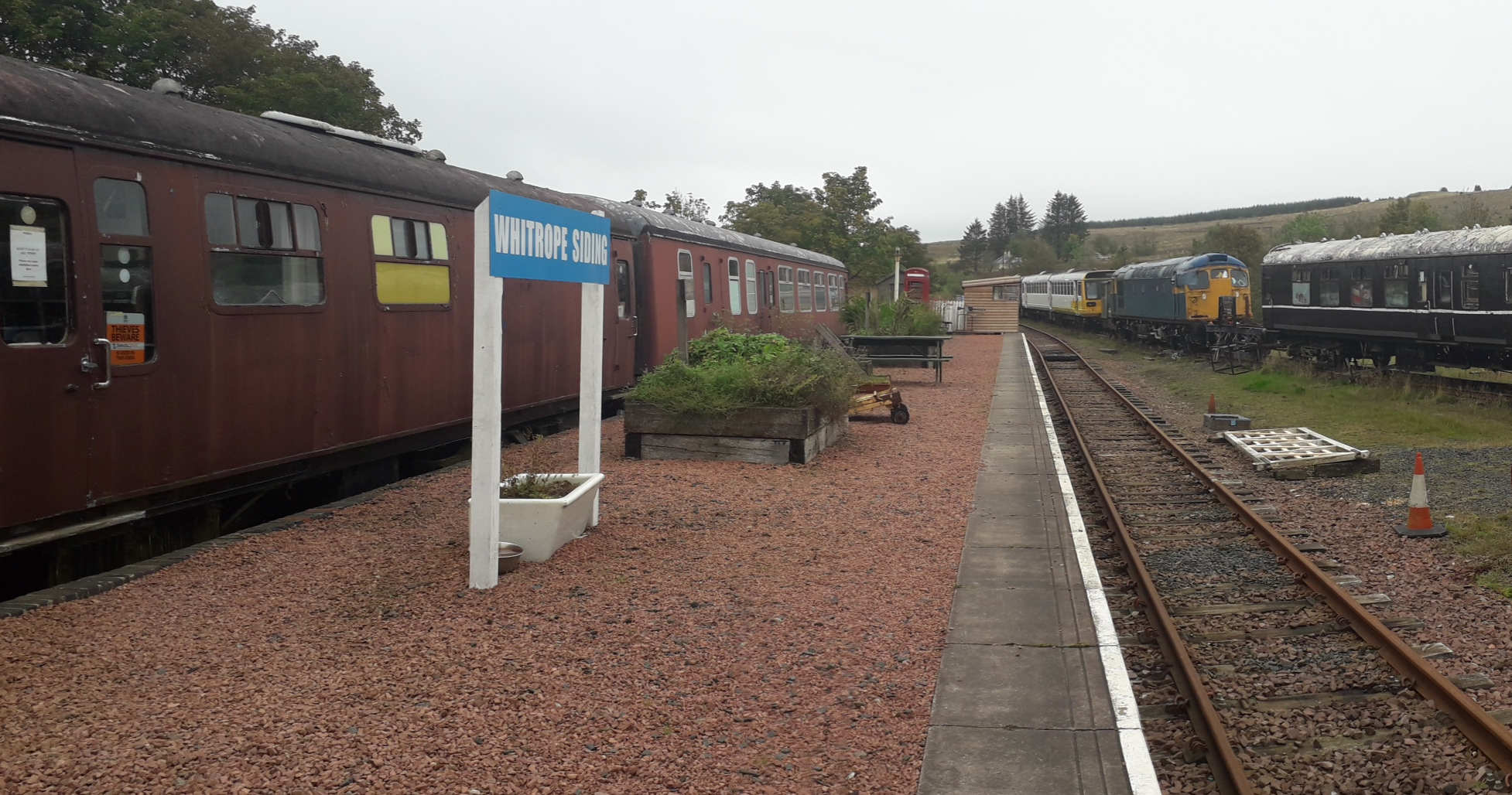
Whitrope Siding

Whitrope Siding was a trailing short siding or spur off the "up" (southbound) line, an associated trailing cross-over between up and down lines, a pair...

Nearby Amenities

Located within 500m of 55.28799,-2.65811
Caddroun Rig
Ele: 292
Natural: peak
Lat/Long: 55.2860278/-2.6597353
The data included in this document is from www.openstreetmap.org. The data is made available under ODbL.

Have you been to Caddroun Rig?

Leave your review of Caddroun Rig below (or comments, questions and feedback).