Hawthornthwaite Fell Top
Hill, Mountain in Yorkshire Ribble Valley
England
Hawthornthwaite Fell Top
Hawthornthwaite Fell Top is a prominent hill located in the county of Yorkshire, England. Sitting within the expansive Yorkshire Dales National Park, it offers breathtaking views and is a popular destination for hikers and nature enthusiasts.
Rising to an elevation of approximately 550 meters (1,800 feet), Hawthornthwaite Fell Top is characterized by its rugged terrain and rocky slopes. It is part of a larger network of hills in the area, including Great Whernside and Buckden Pike, which form the backbone of the Yorkshire Dales.
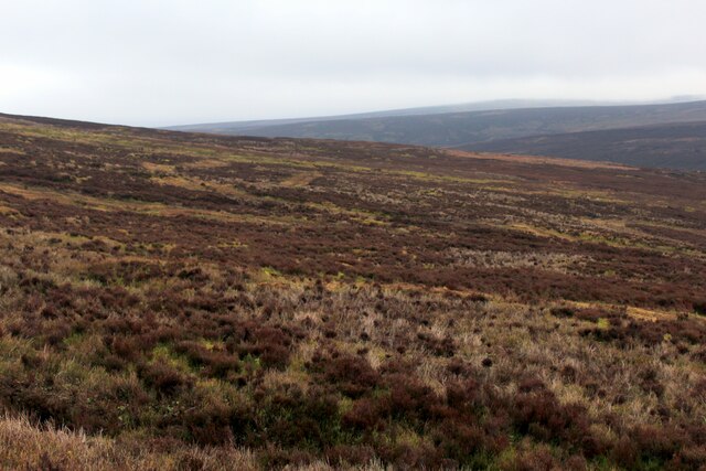
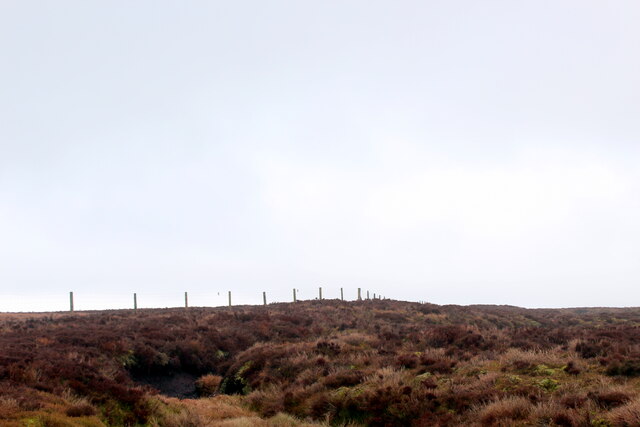
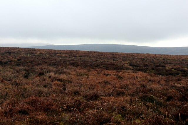
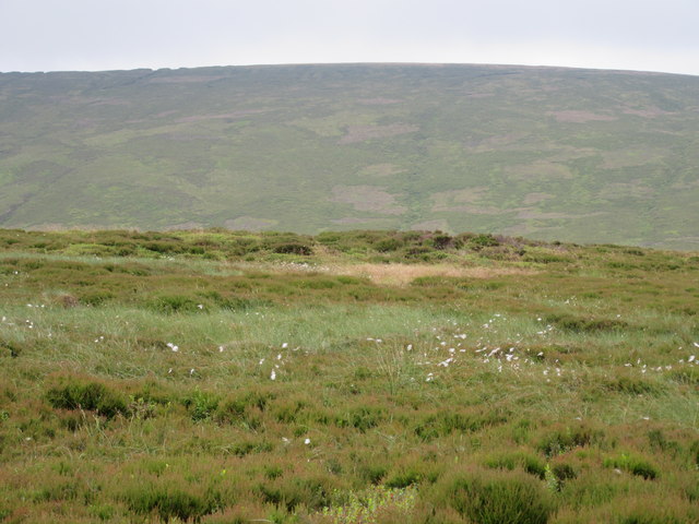
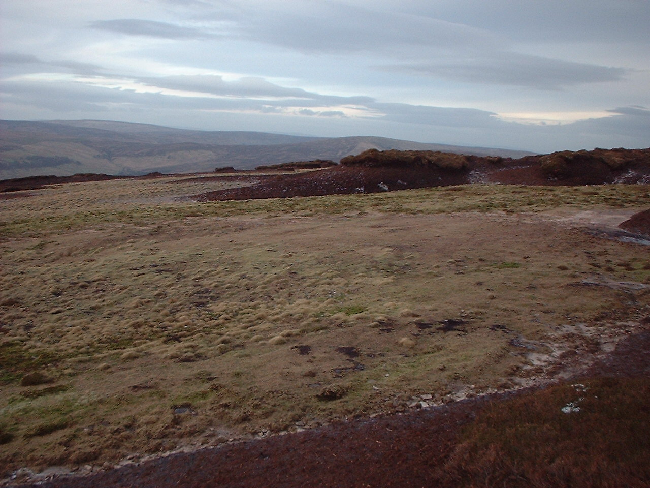
The hill is covered in a patchwork of heather moorland, grassy slopes, and scattered boulders. The vegetation supports a diverse range of wildlife, including grouse, curlews, and other upland birds. Visitors may also spot the occasional hare or deer roaming the hillside.
Hawthornthwaite Fell Top offers panoramic views of the surrounding countryside. On clear days, one can see the rolling dales, picturesque villages, and meandering streams that make up the Yorkshire landscape. From the summit, there are also glimpses of the nearby peaks and valleys, creating a sense of awe and tranquility.
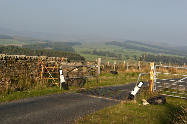
Access to Hawthornthwaite Fell Top is relatively straightforward, with several well-marked footpaths leading to the summit. The hill attracts both experienced hikers and casual walkers, as it offers a range of routes suitable for all abilities.
Overall, Hawthornthwaite Fell Top is a captivating and picturesque hill in Yorkshire, providing visitors with a chance to immerse themselves in the natural beauty and tranquility of the Yorkshire Dales.
If you have any feedback on the listing, please let us know in the comments section below.
Hawthornthwaite Fell Top Images
Images are sourced within 2km of 53.957908/-2.6400249 or Grid Reference SD5851. Thanks to Geograph Open Source API. All images are credited.


Hawthornthwaite Fell Top is located at Grid Ref: SD5851 (Lat: 53.957908, Lng: -2.6400249)
Division: West Riding
Administrative County: Lancashire
District: Ribble Valley
Police Authority: Lancashire
What 3 Words
///satellite.walks.shiver. Near Bay Horse, Lancashire
Nearby Locations
Related Wikis
Hawthornthwaite Fell
Hawthornthwaite Fell is one of the larger hills in the Forest of Bowland in the north west of England. Hawthornthwaite Fell marks the extreme western limit...

National nature reserves in Lancashire
National nature reserves in Lancashire in England are established by Natural England. There are two national nature reserves in Lancashire, both of which...

Abbeystead
Abbeystead is a small hamlet located in the Forest of Bowland Area of Outstanding Natural Beauty, in Lancashire, England. Abbeystead lies close to the...

Over Wyresdale
Over Wyresdale is a civil parish and a parish of the Church of England in the City of Lancaster in the English county of Lancashire. It has a population...
Related Videos

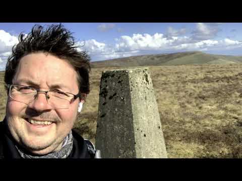
Hawthornthwaite Fell Top
So I finaly got up on to Hawthornthwaite Fell Top today. I've tried to get here for ages but with one thing or another never made it.
Hazelhurst Fell the hard way up
Walking from Stang Yule past Bleasedale Tower to take the route to Fiendsdale Head, then taking the gully straight up Winny ...
Nearby Amenities
Located within 500m of 53.957908,-2.6400249Have you been to Hawthornthwaite Fell Top?
Leave your review of Hawthornthwaite Fell Top below (or comments, questions and feedback).