Highlanders' Knowe

Hill, Mountain in Roxburghshire

Scotland

Highlanders' Knowe

Ruberslaw Parish Church, Minto Minto was a planned village, designed and laid out by William Playfair for the 2nd Earl of Minto. The Church – a Victorian building in the Gothic style – was built as part of the plan and was completed in 1831, replacing a much earlier mediaeval building which stood a short distance to the east and which was recorded as far back as 1275.
Ruberslaw Parish Church, Minto Credit: Colin Kinnear

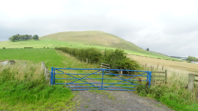
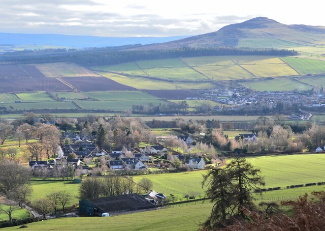
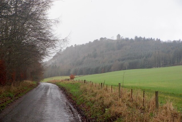
Highlanders' Knowe, located in Roxburghshire, Scotland, is a prominent hill that offers stunning panoramic views of the surrounding landscape. Rising to an elevation of approximately 400 meters, this natural landmark is a popular destination for outdoor enthusiasts and nature lovers alike.

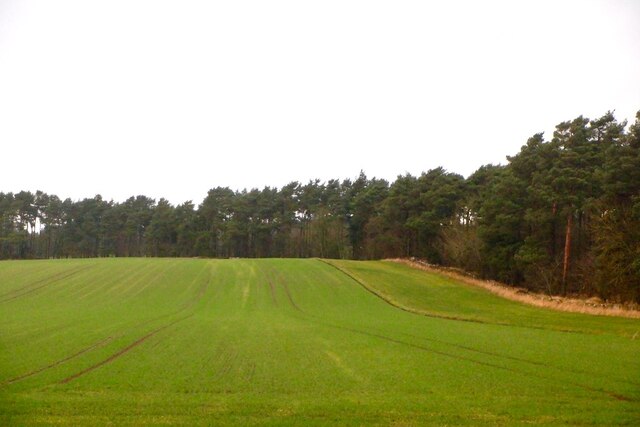
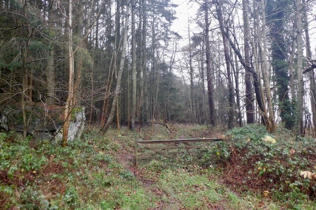
The hill is covered in a rich tapestry of heather moorland and scattered with granite boulders, creating a rugged and picturesque terrain. The slopes are home to a wide variety of flora and fauna, with vibrant wildflowers, mosses, and lichens adding bursts of color to the landscape. Birdwatchers will delight in the opportunity to spot various species, including buzzards, kestrels, and skylarks, soaring through the skies above.

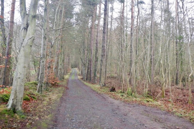
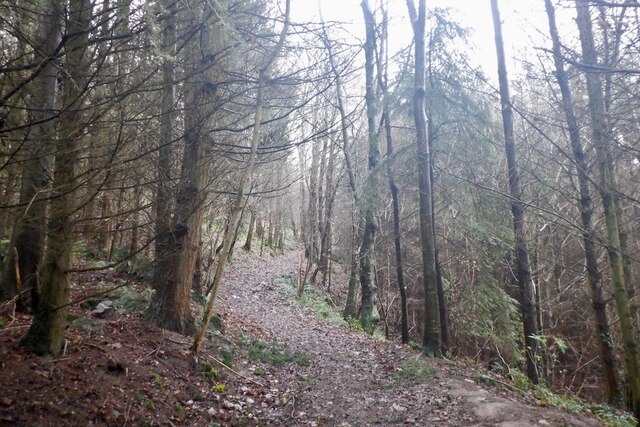
Highlanders' Knowe offers several walking trails, catering to all levels of fitness and hiking experience. The paths wind through the hill's undulating terrain, allowing visitors to explore the area at their own pace. As they ascend, hikers are rewarded with breathtaking vistas of the surrounding countryside, including the rolling hills and valleys of Roxburghshire.

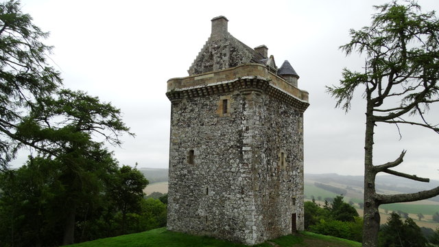
The hill has historical significance as well, with remnants of ancient settlements and hillforts dating back to the Iron Age. Archaeological enthusiasts can explore these relics, gaining insight into the lives and cultures of the people who once inhabited the area.

Highlanders' Knowe is a place of tranquility and natural beauty, providing a peaceful retreat from the hustle and bustle of everyday life. Whether it's a leisurely stroll or a challenging hike, this hill offers a memorable experience for anyone seeking to immerse themselves in the stunning Scottish countryside.

If you have any feedback on the listing, please let us know in the comments section below.

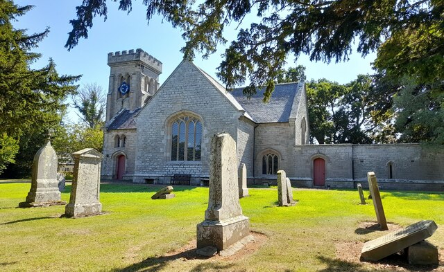
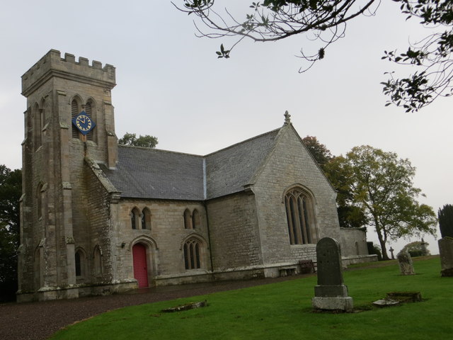
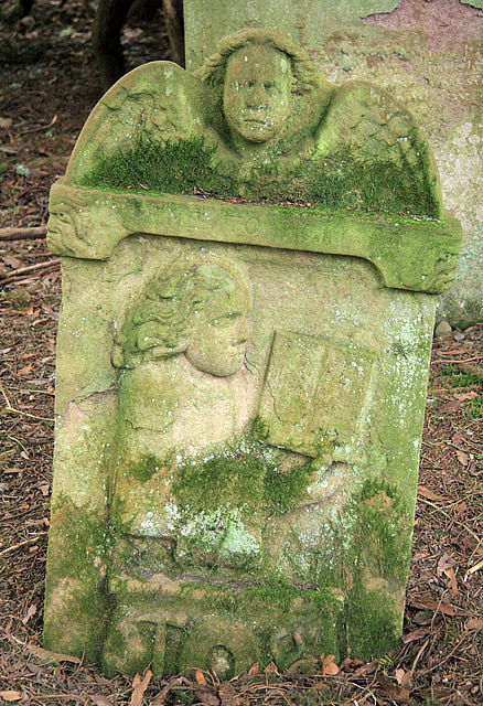
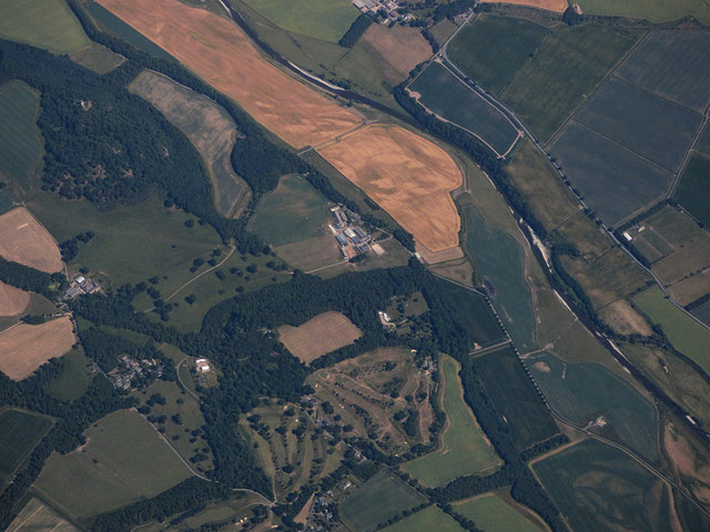
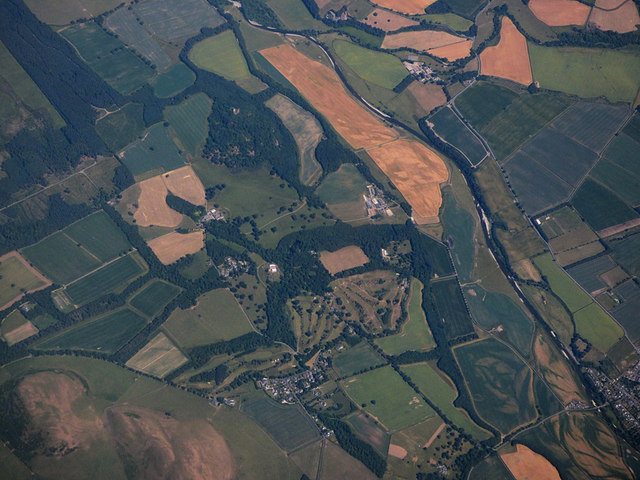
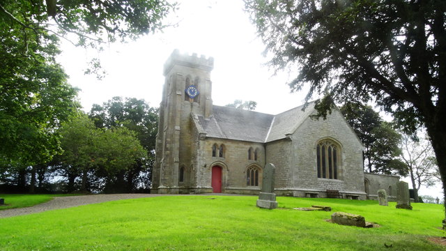
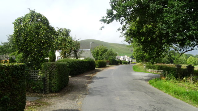
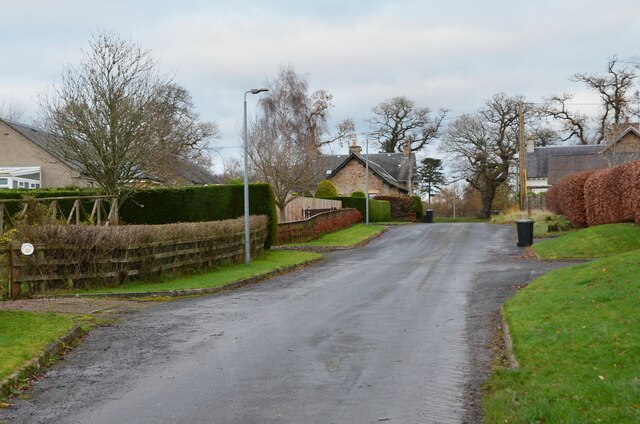
Highlanders' Knowe Images

Images are sourced within 2km of 55.465875/-2.6660055 or Grid Reference NT5719. Thanks to Geograph Open Source API. All images are credited.

Ruberslaw Parish Church, Minto Minto was a planned village, designed and laid out by William Playfair for the 2nd Earl of Minto. The Church – a Victorian building in the Gothic style – was built as part of the plan and was completed in 1831, replacing a much earlier mediaeval building which stood a short distance to the east and which was recorded as far back as 1275.
Ruberslaw Parish Church, Minto
Minto was a planned village, designed and laid out by William Playfair for the 2nd Earl of Minto. The Church – a Victorian building in the Gothic style – was built as part of the plan and was completed in 1831, replacing a much earlier mediaeval building which stood a short distance to the east and which was recorded as far back as 1275.
Ordnance Survey Cut Mark with Bolt This can be found on the wall of Minto Parish Church.
For more detail see: <span class="nowrap"><a title="http://www.bench-marks.org.uk/bm72134" rel="nofollow ugc noopener" href="http://www.bench-marks.org.uk/bm72134">Link</a><img style="margin-left:2px;" alt="External link" title="External link - shift click to open in new window" src="https://s1.geograph.org.uk/img/external.png" width="10" height="10"/></span>
Ordnance Survey Cut Mark with Bolt
This can be found on the wall of Minto Parish Church. For more detail see: LinkExternal link
Minto Parish Church Looking from the north-east.
Minto Parish Church
Looking from the north-east.
A symbolic gravestone at the site of the former Minto Old Parish Church This Memento Mori (remember you must die) portrait stone shows the deceased holding a book which denotes religious devotion. A winged soul above is a symbol of immortality representing the human soul rising to await Judgement Day, while the hammer, tongs and horseshoe below indicates that this is the grave of a blacksmith. Minto Old Parish Church was demolished in 1831, the same year that the present church was built. The stone is in a small group by an ancient yew tree <a href="https://www.geograph.org.uk/photo/766382">NT5720 : Old headstones at Minto</a>.
A symbolic gravestone at the site of the former Minto Old Parish Church
This Memento Mori (remember you must die) portrait stone shows the deceased holding a book which denotes religious devotion. A winged soul above is a symbol of immortality representing the human soul rising to await Judgement Day, while the hammer, tongs and horseshoe below indicates that this is the grave of a blacksmith. Minto Old Parish Church was demolished in 1831, the same year that the present church was built. The stone is in a small group by an ancient yew tree NT5720 : Old headstones at Minto.
Minto Golf Club from the air Viewed from a Prague bound flight from Edinburgh.
Minto Golf Club from the air
Viewed from a Prague bound flight from Edinburgh.
Minto and Minto Golf Club from the air The River Teviot runs through the scene. Viewed from a Prague bound flight from Edinburgh.
Minto and Minto Golf Club from the air
The River Teviot runs through the scene. Viewed from a Prague bound flight from Edinburgh.
Minto Church near Hawick
Lane N through Minto near Hawick
View towards Minto Hill from W of village of Minto
Fatlips Castle near Denholm
Minto village A small community beneath the twin hills of the same name.
Minto village
A small community beneath the twin hills of the same name.
Minto and Rubers Law A fine view of the village, Denholm beyond and Rubers Law (424m) making an imposing background, seen from South Minto Hill.
Minto and Rubers Law
A fine view of the village, Denholm beyond and Rubers Law (424m) making an imposing background, seen from South Minto Hill.
Road into Minto village Approaching Minto on the minor road from Hassendean.
Road into Minto village
Approaching Minto on the minor road from Hassendean.
Winter cereals, Barnhills
Minto Craig and Fatlips Castle
Road below Minto Craig Route to Fatlips Castle.
Road below Minto Craig
Route to Fatlips Castle.
Woodland track below Minto Craig
Path to Fatlips Castle
Show me another place!

Highlanders' Knowe is located at Grid Ref: NT5719 (Lat: 55.465875, Lng: -2.6660055)

Unitary Authority: The Scottish Borders

Police Authority: The Lothians and Scottish Borders

What 3 Words

///pipe.barn.shallower. Near Jedburgh, Scottish Borders

Related Wikis

Spittal-on-Rule

Spittal-on-Rule is a farm in the council area of Scottish Borders in Scotland. As the name suggests it is situated on the river Rule Water, and the Spittal...

Denholm

Denholm is a small village located between Jedburgh and Hawick in the Scottish Borders region of Scotland, UK. The estimated population of Denholm is 600...

Craigmount School

Craigmount School was a private school originally for boys, but for most of its history for girls, in Edinburgh. It opened in 1874 and closed in 1966....

Minto, Scottish Borders

Minto is a village and parish in the Scottish Borders area of Scotland in Roxburghshire county. It is located 6 miles (10 kilometres) north-east of Hawick...

Nearby Amenities

Located within 500m of 55.465875,-2.6660055
Power: pole
Lat/Long: 55.4659147/-2.6731051
Power: pole
Lat/Long: 55.4662944/-2.6721839
Power: pole
Lat/Long: 55.4668106/-2.6709316
Power: pole
Lat/Long: 55.4670271/-2.6696845
Power: pole
Lat/Long: 55.4672723/-2.6682694
Power: pole
Lat/Long: 55.4674686/-2.6671522
Power: pole
Lat/Long: 55.4676676/-2.6660196
Power: pole
Lat/Long: 55.4679677/-2.664915
Power: pole
Lat/Long: 55.4682664/-2.6637799
Power: pole
Lat/Long: 55.4685737/-2.6626626
Power: pole
Lat/Long: 55.4691262/-2.6620416
Power: pole
Lat/Long: 55.4628544/-2.6718096
Power: pole
Lat/Long: 55.4632988/-2.6703182
Power: pole
Lat/Long: 55.4636768/-2.6690253
Power: pole
Lat/Long: 55.4641414/-2.6675008
Power: pole
Lat/Long: 55.4670646/-2.6733062
Power: pole
Lat/Long: 55.4682519/-2.6678011
Power: pole
Lat/Long: 55.4690916/-2.6684476
Power: pole
Lat/Long: 55.4697552/-2.6689744
The data included in this document is from www.openstreetmap.org. The data is made available under ODbL.

Have you been to Highlanders' Knowe?

Leave your review of Highlanders' Knowe below (or comments, questions and feedback).