Horrington Hill
Hill, Mountain in Somerset Mendip
England
Horrington Hill

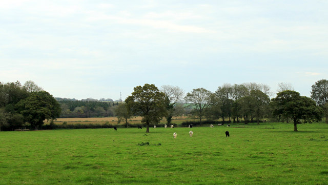
Horrington Hill is a prominent hill located in Somerset, England. It is situated about 5 miles southwest of the town of Wells and stands at an elevation of approximately 400 feet above sea level. The hill is a notable landmark in the area and offers breathtaking views of the surrounding countryside.
Characterized by its gently sloping sides and lush greenery, Horrington Hill is a popular destination for outdoor enthusiasts and nature lovers. The hill is covered in a mix of grassland, woodland, and farmland, creating a diverse and picturesque landscape. It is home to a variety of plant and animal species, making it an important site for biodiversity.
At the summit of Horrington Hill, there is a trig point which serves as a reference marker for surveying. This point is often used by hikers and walkers as a navigation aid. The hill is also dotted with several footpaths and trails, providing opportunities for leisurely walks and hikes.
Horrington Hill holds historical significance as well. It is believed to have been a site of human activity dating back to prehistoric times, with archaeological evidence indicating the presence of ancient settlements and burial mounds in the area.
Overall, Horrington Hill offers a tranquil and scenic escape for visitors, where they can enjoy the beauty of nature, engage in outdoor activities, and explore the rich history of Somerset.
If you have any feedback on the listing, please let us know in the comments section below.
Horrington Hill Images
Images are sourced within 2km of 51.228656/-2.6040382 or Grid Reference ST5747. Thanks to Geograph Open Source API. All images are credited.


Horrington Hill is located at Grid Ref: ST5747 (Lat: 51.228656, Lng: -2.6040382)
Administrative County: Somerset
District: Mendip
Police Authority: Avon and Somerset
What 3 Words
///worm.fingertip.puncture. Near Mendip, Somerset
Nearby Locations
Related Wikis
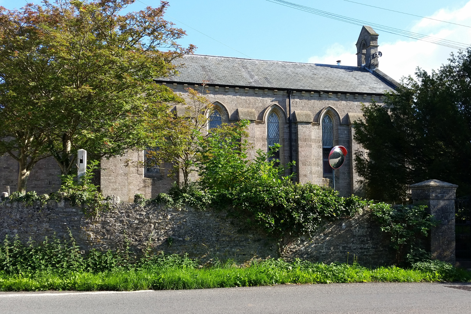
St John's Church, East Horrington
St John's Church is a former Church of England church in East Horrington, Somerset, England. It was built in 1838 to the designs of Richard Carver and...

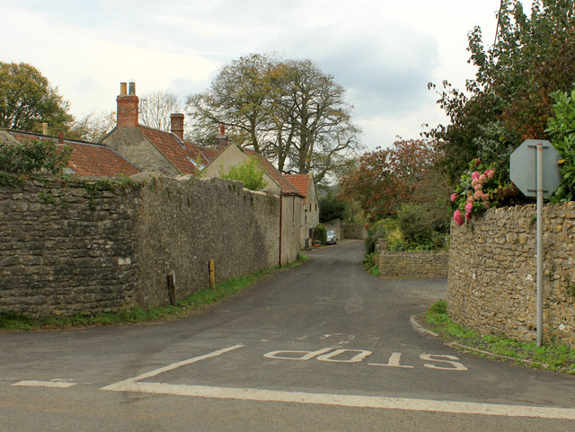
Horrington
Horrington is a collection of three small villages (South Horrington, East Horrington and West Horrington) in the parish of St Cuthbert Out 1 mile (2 km...
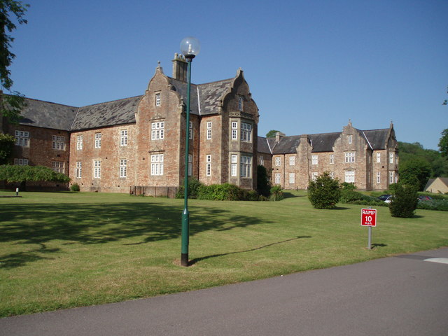
Mendip Hospital
Mendip Hospital opened in 1848 as the Somerset and Bath Pauper Lunatic Asylum at Horrington, near Wells, in the English county of Somerset. As a county...
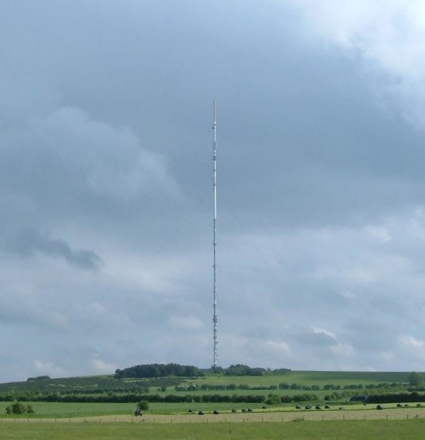
Mendip transmitting station
The Mendip transmitting station is a broadcasting and telecommunications facility on the summit of Pen Hill, part of the Mendip Hills range in Somerset...

Pen Hill
Pen Hill forms part of the Mendip Hills plateau in Somerset, England. The hill is located in St Cuthbert Out civil parish in Mendip district. The name...
King's Castle, Wells
King's Castle is an Iron Age enclosed hilltop settlement at the south-western edge of the Mendip Hills near Wells in Somerset, England. Though there are...
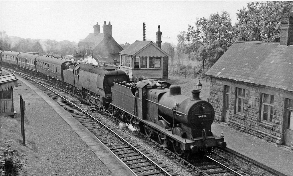
Masbury railway station
Masbury railway station was a small isolated station on the Somerset and Dorset Joint Railway's main line between Evercreech Junction and Bath. It was...

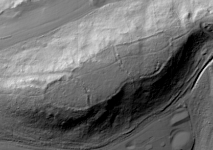
Maesbury Railway Cutting
Maesbury Railway Cutting (grid reference ST606475) is a 2 hectare geological Site of Special Scientific Interest between East Horrington and Gurney Slade...
Nearby Amenities
Located within 500m of 51.228656,-2.6040382Have you been to Horrington Hill?
Leave your review of Horrington Hill below (or comments, questions and feedback).