Lingy Hill

Hill, Mountain in Westmorland Eden

England

Lingy Hill

Lea Field
Lea Field Credit: N Chadwick

Lingy Hill is a prominent hill located in Westmorland, a historic county in the northwestern region of England. Standing at an elevation of approximately 464 meters (1,522 feet), it is classified as a hill rather than a mountain. It is situated within the boundaries of the Lake District National Park, renowned for its picturesque landscapes and stunning natural beauty.

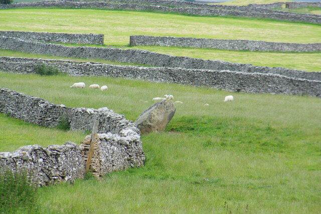
The hill offers breathtaking panoramic views of the surrounding countryside, including the nearby Lake Windermere, the largest natural lake in England. Lingy Hill is covered in lush green vegetation, with patches of rocky outcrops adding to its scenic charm. Visitors can expect to encounter a variety of flora and fauna endemic to the region, creating an ideal environment for nature enthusiasts and hikers.

Accessing Lingy Hill is relatively straightforward, with well-marked trails leading to the summit. The hill is a popular destination for outdoor activities such as walking, hiking, and birdwatching. It provides a tranquil escape from the hustle and bustle of urban life, offering a peaceful retreat for those seeking solace in nature.

While not as famous as some of the neighboring peaks in the Lake District, Lingy Hill still offers a rewarding experience for those who venture to its summit. Whether it's a leisurely stroll or a challenging hike, Lingy Hill promises a memorable encounter with the stunning landscapes of Westmorland.

If you have any feedback on the listing, please let us know in the comments section below.
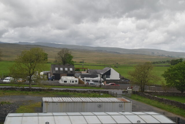
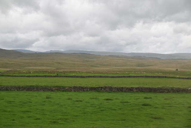
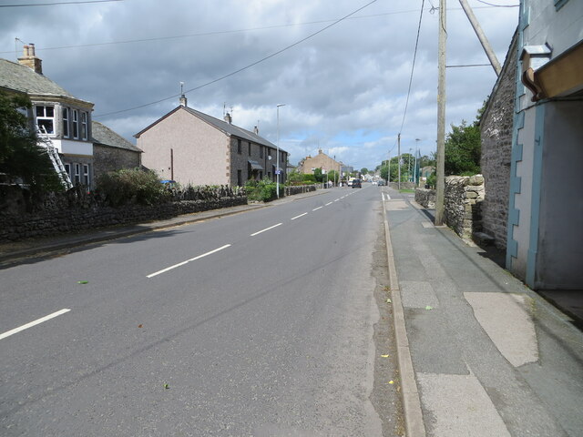
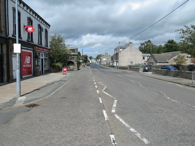
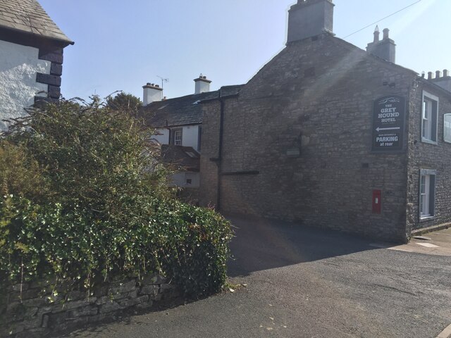
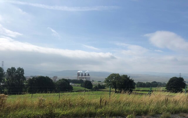
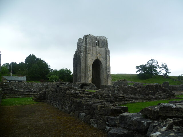
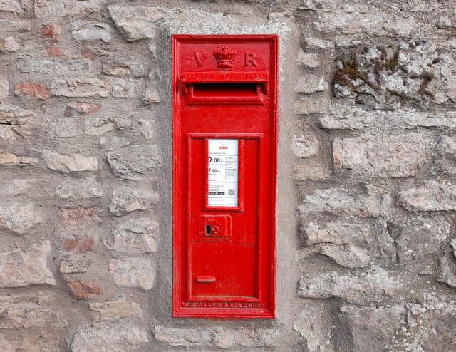
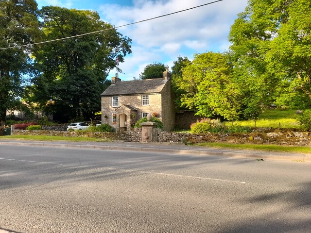
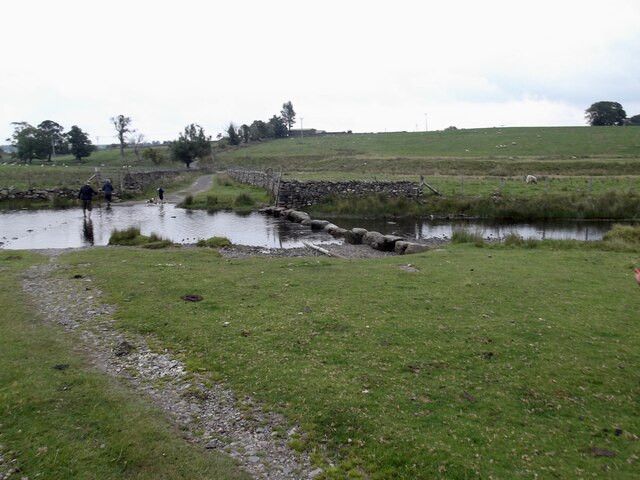
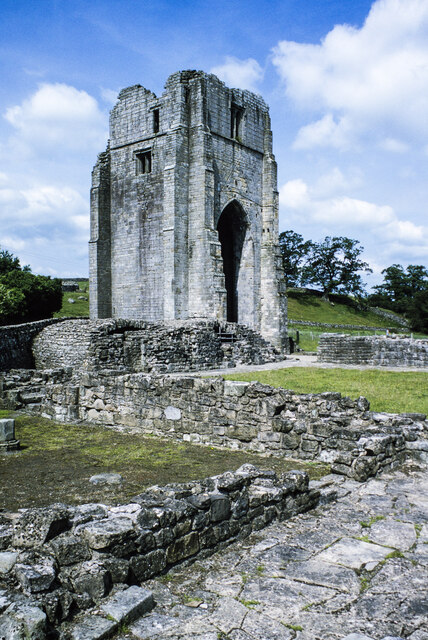
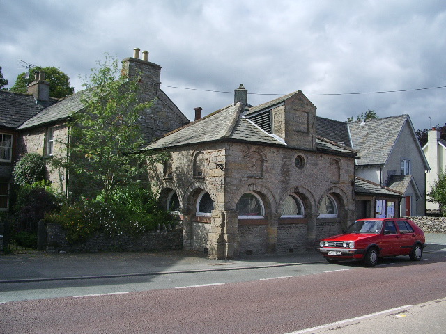
Lingy Hill Images

Images are sourced within 2km of 54.514795/-2.684896 or Grid Reference NY5513. Thanks to Geograph Open Source API. All images are credited.

Lea Field
Lea Field
South of Shap
South of Shap
Ullsmoor
Ullsmoor
Main Street (A6), Shap Looking north-westward.
Main Street (A6), Shap
Looking north-westward.
Main Street (A6), Shap Looking north-westward.
Main Street (A6), Shap
Looking north-westward.
Entry to Oak Tree Close near the Grey Hound Hotel, Shap
Railway yard near the West Coast Main line Tata Steel is beyond the railway line
Railway yard near the West Coast Main line
Tata Steel is beyond the railway line
Ordnance Survey Flush Bracket S8007 This bracket can be found on the wall of the Library building in Shap.
The recorded details give a height of 254.0234 metres above sea level.
For more details see : <span class="nowrap"><a title="https://www.bench-marks.org.uk/bm816" rel="nofollow ugc noopener" href="https://www.bench-marks.org.uk/bm816">Link</a><img style="margin-left:2px;" alt="External link" title="External link - shift click to open in new window" src="https://s1.geograph.org.uk/img/external.png" width="10" height="10"/></span>
Ordnance Survey Flush Bracket S8007
This bracket can be found on the wall of the Library building in Shap. The recorded details give a height of 254.0234 metres above sea level. For more details see : LinkExternal link
Tata Steelworks Lime kilns at Tata Steel's Hardendale lime works
Tata Steelworks
Lime kilns at Tata Steel's Hardendale lime works
Kemp Howe
Kemp Howe
Aspers Field Stone Viewed from the Goggleby Stone part of the Shap Stone Alignment
Aspers Field Stone
Viewed from the Goggleby Stone part of the Shap Stone Alignment
Shap Abbey, West Tower Viewed from across the cloister remains
Shap Abbey, West Tower
Viewed from across the cloister remains
Post Box at Shap CA10 45D. Royal Mail list this box as 'Greyhound Inn'.
Post Box at Shap
CA10 45D. Royal Mail list this box as 'Greyhound Inn'.
At Shap A house of considerable charm catches the evening sunlight.
At Shap
A house of considerable charm catches the evening sunlight.
Wet Sleddale Reservoir Dam The reservoir was completed in 1966 to supply water to Manchester via Haweswater. The water is transferred to Haweswater via tunnels.
Wet Sleddale Reservoir Dam
The reservoir was completed in 1966 to supply water to Manchester via Haweswater. The water is transferred to Haweswater via tunnels.
Wall corner, Stackhouse Brow
Stepping stones on the River Lowther The grid line runs right through the crossing. The large stones look easy to use but are slippery when wet as I discovered to my discomfort.
Stepping stones on the River Lowther
The grid line runs right through the crossing. The large stones look easy to use but are slippery when wet as I discovered to my discomfort.
West tower at Shap Abbey The substantial remains of the West tower at the Premonstratensian Abbey at Shap. The view is from the south-east over ruined walls and the grass of the cloister.
West tower at Shap Abbey
The substantial remains of the West tower at the Premonstratensian Abbey at Shap. The view is from the south-east over ruined walls and the grass of the cloister.
Show me another place!

Lingy Hill is located at Grid Ref: NY5513 (Lat: 54.514795, Lng: -2.684896)

Administrative County: Cumbria

District: Eden

Police Authority: Cumbria

What 3 Words

///sharpened.soaks.dorm. Near Shap, Cumbria

Nearby Locations

Lingy Hill Brown Hill

Related Wikis

Keld, Cumbria

Keld (or Keilde) is a hamlet in the English county of Cumbria. It lies within the civil parish of Shap. On the banks of the River Lowther it is a mile...

Shap Stone Avenue

The Shap Stone Avenue (an unofficial name) is a megalithic complex near Shap in Cumbria, England, comprising stone circles, a two-mile avenue (actually...

Shap railway station

Shap railway station served the village of Shap, Westmorland (now in Cumbria), England for over 120 years. == Operations == The station was situated on...

Shap

Shap is a village and civil parish located among fells and isolated dales in Westmorland and Furness, Cumbria, England. The village is in the historic...

Nearby Amenities

Located within 500m of 54.514795,-2.684896
Foot: no
Ford: yes
Lat/Long: 54.5170077/-2.6810933
Power: pole
Lat/Long: 54.517951/-2.686547
Power: pole
Lat/Long: 54.5180169/-2.6849495
Power: pole
Lat/Long: 54.5180864/-2.6834238
Power: pole
Lat/Long: 54.5181524/-2.6820297
Power: pole
Lat/Long: 54.518227/-2.6804322
Tewfit Mire
Place: locality
Lat/Long: 54.513367/-2.6873881
Lingly Hill
Ele: 252
Natural: peak
Lat/Long: 54.514812/-2.684148
Ford: yes
Lat/Long: 54.5136407/-2.6792844
Ford: yes
Lat/Long: 54.5122553/-2.6813771
Power: pole
Lat/Long: 54.515166/-2.6778589
Power: pole
Lat/Long: 54.5141692/-2.6784008
Power: pole
Lat/Long: 54.5133921/-2.6788706
Power: pole
Lat/Long: 54.5126383/-2.6792807
Power: pole
Lat/Long: 54.5117038/-2.6798262
Power: pole
Lat/Long: 54.5154217/-2.6792368
Power: pole
Lat/Long: 54.5157122/-2.6808489
Power: pole
Lat/Long: 54.5110272/-2.6860452
Power: pole
Lat/Long: 54.511825/-2.6871533
Power: pole
Lat/Long: 54.5125604/-2.6881858
Power: pole
Lat/Long: 54.5133142/-2.6892011
The data included in this document is from www.openstreetmap.org. The data is made available under ODbL.

Have you been to Lingy Hill?

Leave your review of Lingy Hill below (or comments, questions and feedback).