Brown Hill

Hill, Mountain in Westmorland Eden

England

Brown Hill

Lea Field
Lea Field Credit: N Chadwick

Brown Hill is a prominent landmark located in the county of Westmorland, England. Situated in the southern part of the county, it forms part of the picturesque landscape of the Lake District National Park. With its summit reaching an elevation of 428 meters (1,404 feet), Brown Hill is classified as a hill, rather than a mountain.

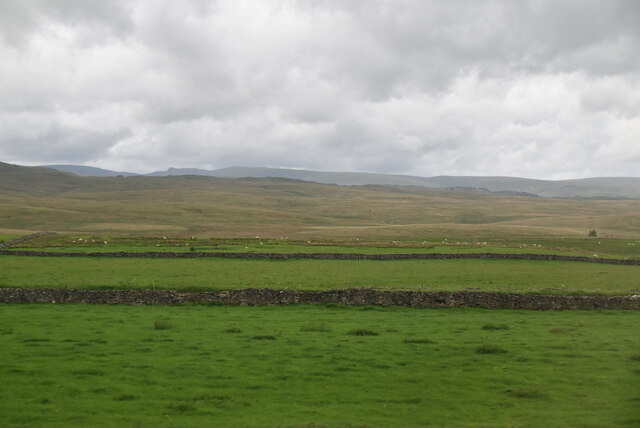
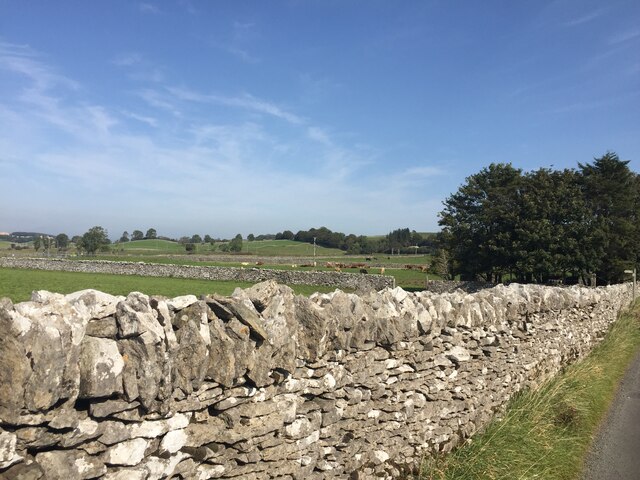
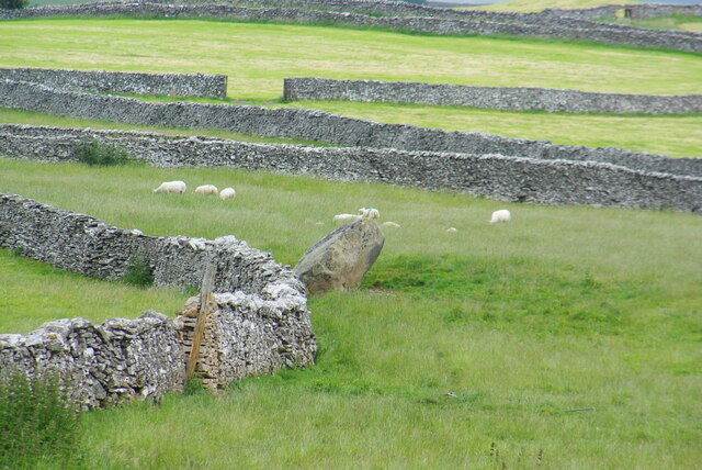
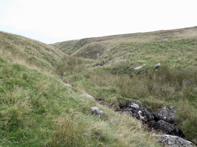
The hill is characterized by its gentle slopes and rolling terrain, covered predominantly with grasses, heather, and scattered stands of trees. Its rounded shape provides stunning panoramic views of the surrounding countryside, including the nearby fells and valleys. On a clear day, one can marvel at the sight of the distant peaks of the Lake District, such as Helvellyn and Scafell Pike.

Visitors to Brown Hill can enjoy various outdoor activities, such as hiking and walking, with several well-marked trails crisscrossing the area. The hill is also a popular spot for birdwatching, as it attracts a wide variety of avian species, including buzzards, kestrels, and meadow pipits. Wildlife enthusiasts may also encounter rabbits, hares, and the occasional deer.

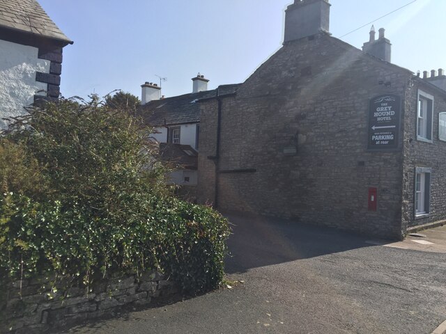
The hill's proximity to the village of Orton, with its charming cottages and historic church, makes it easily accessible for both locals and tourists. In addition, the surrounding area offers ample opportunities for exploration, with numerous other natural attractions and cultural sites to discover.

Overall, Brown Hill in Westmorland stands as a captivating natural landmark, offering visitors a chance to immerse themselves in the beauty of the Lake District and experience the tranquility of the English countryside.

If you have any feedback on the listing, please let us know in the comments section below.
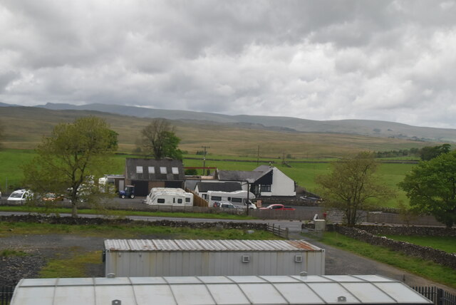
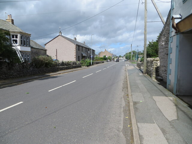
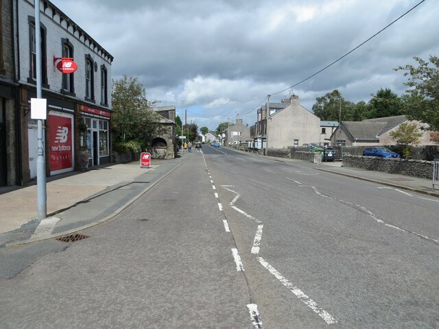
Brown Hill Images

Images are sourced within 2km of 54.519074/-2.6925527 or Grid Reference NY5513. Thanks to Geograph Open Source API. All images are credited.

Lea Field
Lea Field
South of Shap
South of Shap
Ullsmoor
Ullsmoor
Shap sewage farm
Shap sewage farm
Main Street (A6), Shap Looking north-westward.
Main Street (A6), Shap
Looking north-westward.
Main Street (A6), Shap Looking north-westward.
Main Street (A6), Shap
Looking north-westward.
Drystone walls, Shap This one on Keld Lane, on the way to Shep Abbery
Drystone walls, Shap
This one on Keld Lane, on the way to Shep Abbery
Entry to Oak Tree Close near the Grey Hound Hotel, Shap
Railway yard near the West Coast Main line Tata Steel is beyond the railway line
Railway yard near the West Coast Main line
Tata Steel is beyond the railway line
Ordnance Survey Flush Bracket S8007 This bracket can be found on the wall of the Library building in Shap.
The recorded details give a height of 254.0234 metres above sea level.
For more details see : <span class="nowrap"><a title="https://www.bench-marks.org.uk/bm816" rel="nofollow ugc noopener" href="https://www.bench-marks.org.uk/bm816">Link</a><img style="margin-left:2px;" alt="External link" title="External link - shift click to open in new window" src="https://s1.geograph.org.uk/img/external.png" width="10" height="10"/></span>
Ordnance Survey Flush Bracket S8007
This bracket can be found on the wall of the Library building in Shap. The recorded details give a height of 254.0234 metres above sea level. For more details see : LinkExternal link
Tata Steelworks Lime kilns at Tata Steel's Hardendale lime works
Tata Steelworks
Lime kilns at Tata Steel's Hardendale lime works
Kemp Howe
Kemp Howe
Aspers Field Stone Viewed from the Goggleby Stone part of the Shap Stone Alignment
Aspers Field Stone
Viewed from the Goggleby Stone part of the Shap Stone Alignment
Shap Abbey, West Tower Viewed from across the cloister remains
Shap Abbey, West Tower
Viewed from across the cloister remains
Post Box at Shap CA10 45D. Royal Mail list this box as 'Greyhound Inn'.
Post Box at Shap
CA10 45D. Royal Mail list this box as 'Greyhound Inn'.
At Shap A house of considerable charm catches the evening sunlight.
At Shap
A house of considerable charm catches the evening sunlight.
Wall corner, Stackhouse Brow
Peathill Gill
Peathill Gill
Show me another place!

Brown Hill is located at Grid Ref: NY5513 (Lat: 54.519074, Lng: -2.6925527)

Administrative County: Cumbria

District: Eden

Police Authority: Cumbria

What 3 Words

///glosses.dote.hinted. Near Shap, Cumbria

Nearby Locations

Lingy Hill Brown Hill

Related Wikis

Keld, Cumbria

Keld (or Keilde) is a hamlet in the English county of Cumbria. It lies within the civil parish of Shap. On the banks of the River Lowther it is a mile...
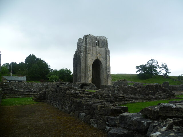
Shap Abbey

Shap Abbey was a religious house of the Premonstratensian order of Canons regular situated on the western bank of the River Lowther in the civil parish...

Shap railway station

Shap railway station served the village of Shap, Westmorland (now in Cumbria), England for over 120 years. == Operations == The station was situated on...
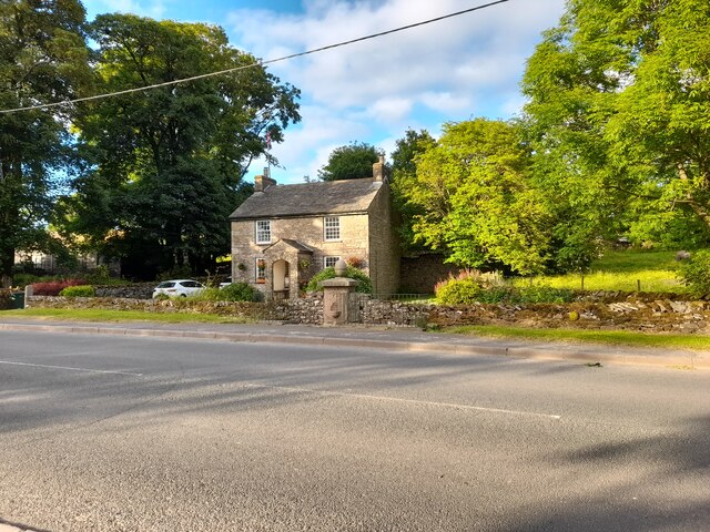
Shap

Shap is a village and civil parish located among fells and isolated dales in Westmorland and Furness, Cumbria, England. The village is in the historic...

Nearby Amenities

Located within 500m of 54.519074,-2.6925527
Keld
Place: village
Source: npe
Wikidata: Q6385530
Lat/Long: 54.5233396/-2.6917901
Barrier: cattle_grid
Source: survey
Lat/Long: 54.5227667/-2.6929366
Power: pole
Lat/Long: 54.517951/-2.686547
Power: pole
Lat/Long: 54.5193106/-2.6887219
Power: pole
Lat/Long: 54.5199478/-2.6897899
Power: pole
Lat/Long: 54.520559/-2.6907652
Power: pole
Lat/Long: 54.5212122/-2.6918067
Power: pole
Lat/Long: 54.5213468/-2.6932156
Power: pole
Lat/Long: 54.521478/-2.6946128
Power: pole
Lat/Long: 54.521788/-2.6979296
Ford: yes
Lat/Long: 54.5205694/-2.6880693
Brown Hill
Place: locality
Lat/Long: 54.5198136/-2.6928912
Foot: no
Ford: yes
Lat/Long: 54.5199763/-2.6872312
Ford: yes
Lat/Long: 54.5207962/-2.696156
Ford: yes
Lat/Long: 54.5222282/-2.6920896
Power: pole
Lat/Long: 54.5228501/-2.6923245
Power: pole
Lat/Long: 54.5230254/-2.6916627
Power: pole
Lat/Long: 54.5234227/-2.6913191
Power: pole
Lat/Long: 54.5234702/-2.6909647
Power: pole
Lat/Long: 54.520903/-2.686324
The data included in this document is from www.openstreetmap.org. The data is made available under ODbL.

Have you been to Brown Hill?

Leave your review of Brown Hill below (or comments, questions and feedback).