Fowlis Hill
Hill, Mountain in Aberdeenshire
Scotland
Fowlis Hill
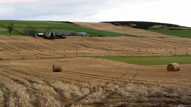
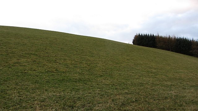
Fowlis Hill is a prominent hill located in Aberdeenshire, Scotland. Situated in the rural area of Fowlis Wester, it stands at an elevation of approximately 453 meters (1,486 feet) above sea level. The hill is part of the Grampian Mountains, which form a stunning backdrop to the surrounding landscape.
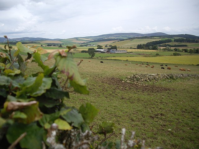
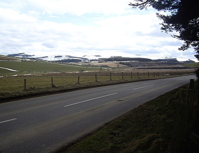
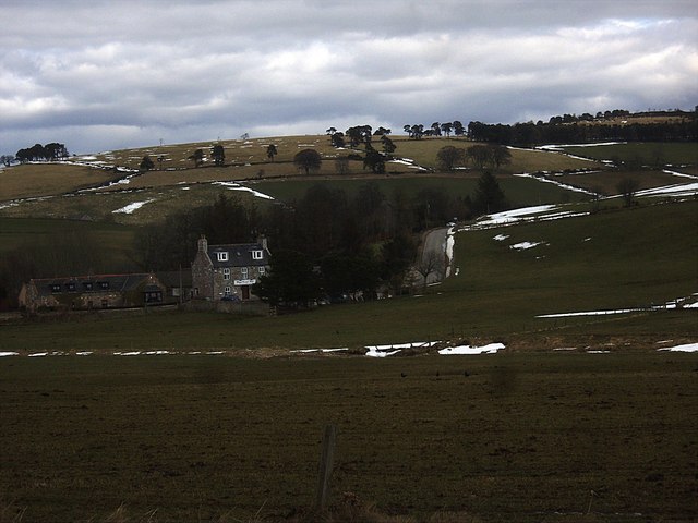
Known for its breathtaking views, Fowlis Hill offers visitors a panoramic vista of the surrounding countryside. On a clear day, one can see the rolling hills, lush green valleys, and scattered woodland that characterizes the Aberdeenshire region. The hill is particularly popular among hikers, nature enthusiasts, and photographers who are drawn to its natural beauty.
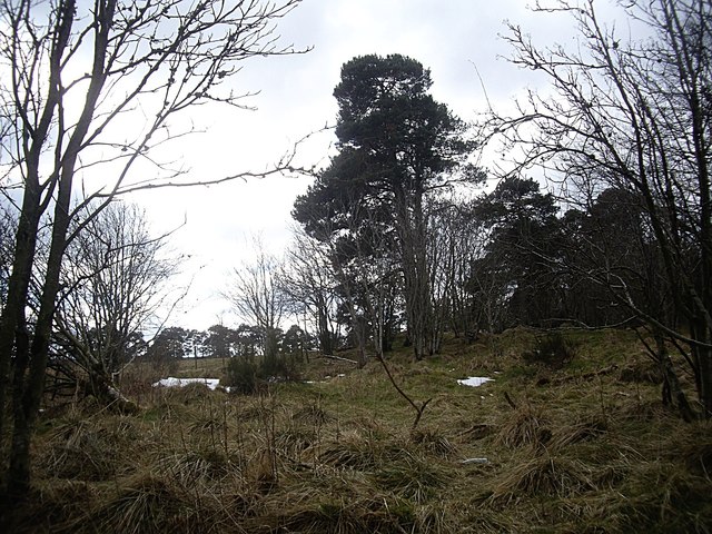
The terrain of Fowlis Hill is a mixture of heather moorland and rocky outcrops, providing a diverse and challenging landscape for outdoor activities. Numerous trails and footpaths crisscross the hill, offering opportunities for hiking and exploring the area. The hill is also home to a variety of wildlife, including red grouse, mountain hares, and various bird species, making it an attractive spot for birdwatching.
While Fowlis Hill may not be the highest peak in Scotland, its accessibility and striking scenery make it a worthwhile destination for those seeking a taste of the Scottish countryside. Whether it's a peaceful walk in nature or an adventurous climb, Fowlis Hill offers visitors a chance to immerse themselves in the natural beauty and tranquility of Aberdeenshire.
If you have any feedback on the listing, please let us know in the comments section below.
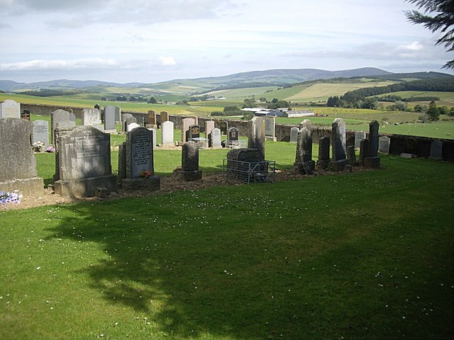
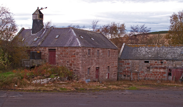
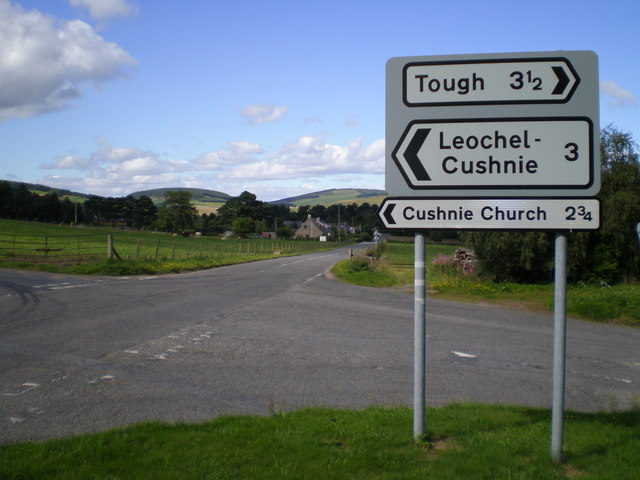
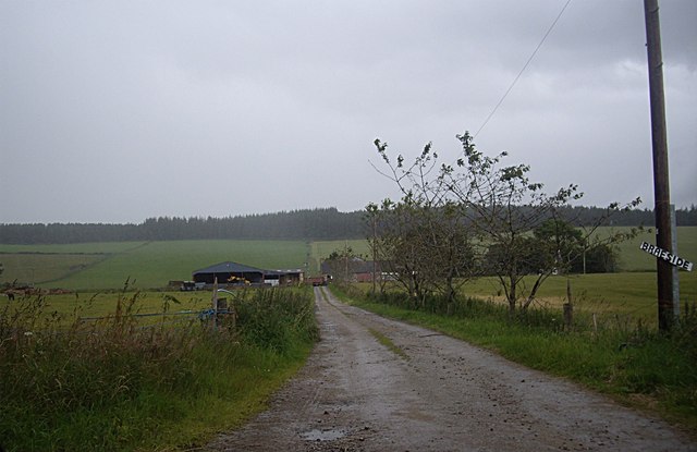
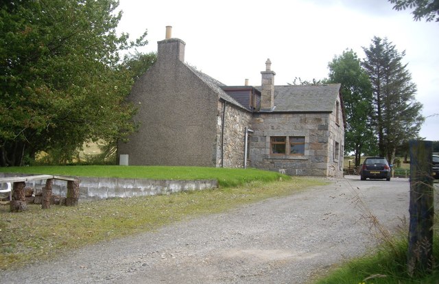
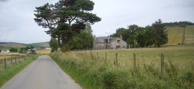
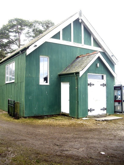
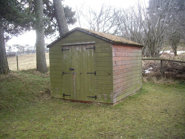
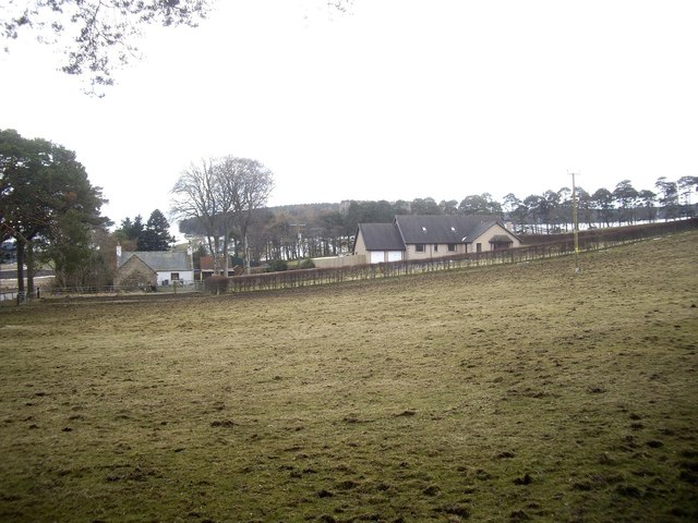
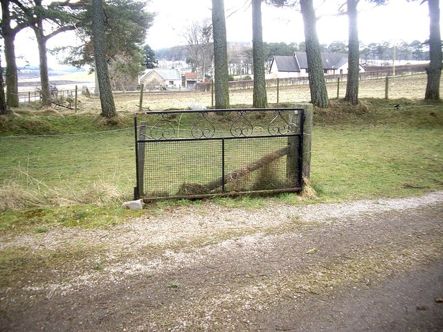
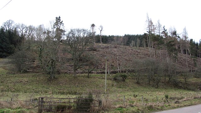
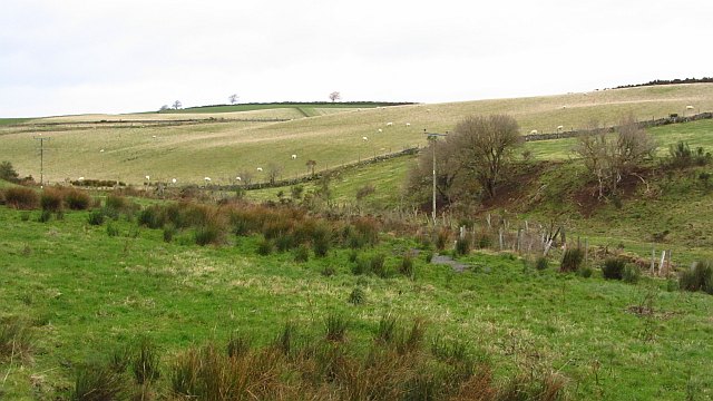
Fowlis Hill Images
Images are sourced within 2km of 57.192635/-2.7432642 or Grid Reference NJ5511. Thanks to Geograph Open Source API. All images are credited.
Fowlis Hill is located at Grid Ref: NJ5511 (Lat: 57.192635, Lng: -2.7432642)
Unitary Authority: Aberdeenshire
Police Authority: North East
What 3 Words
///plodding.private.most. Near Alford, Aberdeenshire
Nearby Locations
Related Wikis
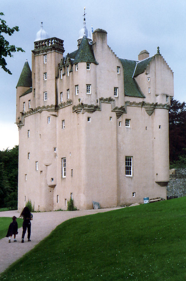
Craigievar Castle
Craigievar Castle is a pinkish harled castle or fortified country house 6 miles (9.7 km) south of Alford, Aberdeenshire, Scotland. It was the seat of Clan...

Cushnie Castle
Cushnie Castle was a 16th-century tower house, about 6 miles (9.7 km) south west of Alford, Aberdeenshire, Scotland, near Cushnie Burn, in the Glen of...

Asloun Castle
Asloun Castle is a castle, formerly Z-plan, dating from the 16th century, 2 miles (3.2 km) south-west of Alford, in Aberdeenshire, Scotland, of which only...
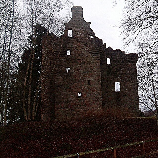
Corse Castle
Corse Castle near Lumphanan in Aberdeenshire, now ruined, was a fortress and centre of a landed estate in the north-east of Scotland. The present castle...
Nearby Amenities
Located within 500m of 57.192635,-2.7432642Have you been to Fowlis Hill?
Leave your review of Fowlis Hill below (or comments, questions and feedback).