Frenchwood Knoll
Hill, Mountain in Lancashire Preston
England
Frenchwood Knoll

Frenchwood Knoll is a small hill located in the county of Lancashire, England. Situated in the district of Preston, it is part of the wider area known as Frenchwood. With an elevation of approximately 120 meters, Frenchwood Knoll stands out in the flat landscape of Lancashire.
Covered in lush greenery, the hill offers a picturesque view of the surrounding countryside. It is adorned with a variety of trees, including oak and beech, which provide shade and create a tranquil atmosphere. The slopes of Frenchwood Knoll are carpeted with vibrant wildflowers during the spring and summer months, attracting nature enthusiasts and hikers alike.
At the summit of the hill, visitors are rewarded with panoramic views of the Lancashire countryside. On a clear day, one can spot the distant hills and valleys, as well as the iconic landmarks of Preston city. The hilltop also offers a peaceful spot for picnics or simply enjoying the serene surroundings.
Frenchwood Knoll is a popular destination for outdoor activities such as walking, jogging, and cycling. There are several well-maintained paths and trails leading up the hill, accommodating both leisurely strolls and more challenging hikes. The hill provides a tranquil escape from the hustle and bustle of city life, making it a favorite spot for locals to unwind and connect with nature.
Overall, Frenchwood Knoll is a beautiful natural landmark that adds charm to the Lancashire countryside. Its accessibility and breathtaking views make it a must-visit destination for nature lovers and outdoor enthusiasts in the area.
If you have any feedback on the listing, please let us know in the comments section below.
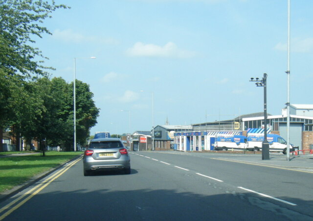
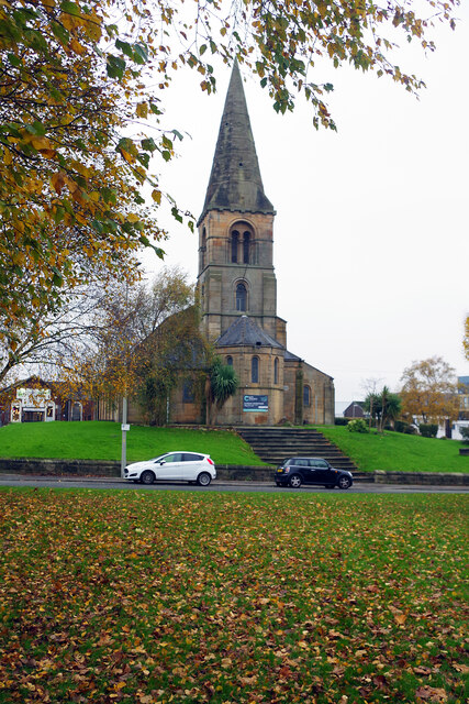
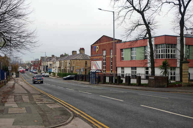
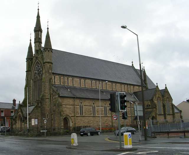
Frenchwood Knoll Images
Images are sourced within 2km of 53.753942/-2.6886509 or Grid Reference SD5428. Thanks to Geograph Open Source API. All images are credited.


Frenchwood Knoll is located at Grid Ref: SD5428 (Lat: 53.753942, Lng: -2.6886509)
Administrative County: Lancashire
District: Preston
Police Authority: Lancashire
What 3 Words
///headed.petty.cares. Near Preston, Lancashire
Nearby Locations
Related Wikis

Jamea Masjid, Preston
Jamea Masjid is the largest and longest established mosque (masjid) in Preston, Lancashire, England, UK. == History == The mosque was established in 1964...

Christ the King Catholic High School, Preston
Christ the King Catholic High School is a coeducational secondary school located in Preston in the English county of Lancashire.It is a voluntary aided...

Cardinal Newman College
Cardinal Newman College is a Catholic sixth form college close to the centre of Preston, Lancashire, England. The college was graded "outstanding" by Ofsted...
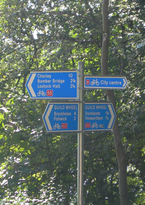
National Cycle Route 622
National Cycle Route 622, the Preston Guild Wheel, part of the National Cycle Network in North West England, is a 21-mile cycle and walking route encircling...
Nearby Amenities
Located within 500m of 53.753942,-2.6886509Have you been to Frenchwood Knoll?
Leave your review of Frenchwood Knoll below (or comments, questions and feedback).