Little Hill
Hill, Mountain in Aberdeenshire
Scotland
Little Hill

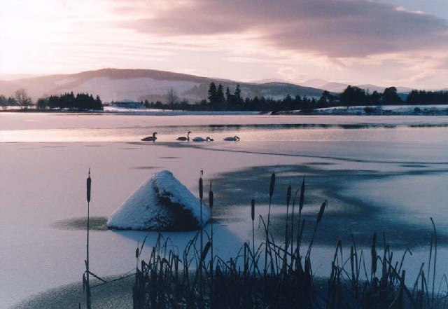
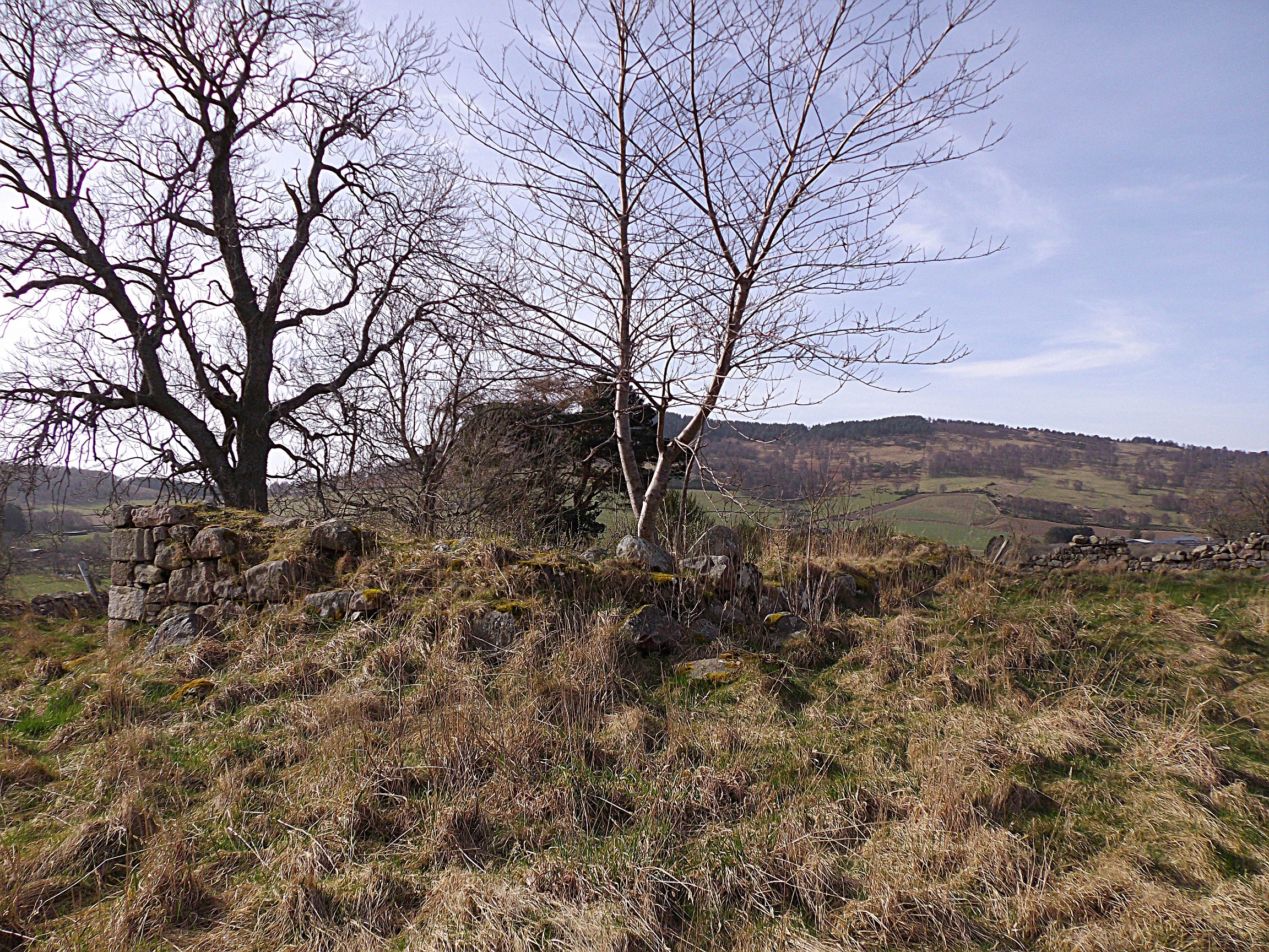
Little Hill is a prominent geographical feature located in Aberdeenshire, Scotland. As the name suggests, it is a small hill or mountain that stands at an elevation of approximately 500 meters (1,640 feet) above sea level. It is situated in the eastern part of Aberdeenshire, near the village of Auchleven.
Little Hill offers breathtaking views of the surrounding countryside and is a popular destination for hikers and nature enthusiasts. The hill is covered with lush green vegetation, including grasses, shrubs, and heather, providing a picturesque landscape. The area is also home to a variety of wildlife, such as deer, birds, and small mammals, making it an ideal spot for wildlife observation.
The ascent to Little Hill is relatively moderate, with well-defined paths and trails leading to the summit. Hikers can enjoy a leisurely walk or a more challenging climb, depending on their preference and fitness level. Once at the top, visitors can admire panoramic views of the Aberdeenshire countryside, including rolling hills, farmland, and nearby villages.
Little Hill is not only a natural gem but also holds historical significance. It is believed to have been used as a vantage point during ancient times, offering strategic advantages to those who occupied the area. Today, remnants of old settlements and structures can still be found, adding an air of mystery and intrigue to the site.
Overall, Little Hill in Aberdeenshire offers a delightful experience for outdoor enthusiasts, combining natural beauty, wildlife, and historical significance. Whether one seeks a peaceful stroll or an adventure in the Scottish countryside, Little Hill is a must-visit destination.
If you have any feedback on the listing, please let us know in the comments section below.
Little Hill Images
Images are sourced within 2km of 57.098723/-2.7553631 or Grid Reference NJ5401. Thanks to Geograph Open Source API. All images are credited.


Little Hill is located at Grid Ref: NJ5401 (Lat: 57.098723, Lng: -2.7553631)
Unitary Authority: Aberdeenshire
Police Authority: North East
What 3 Words
///comet.airbrush.parsnips. Near Aboyne, Aberdeenshire
Nearby Locations
Related Wikis
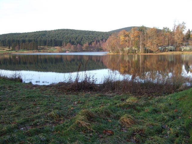
Loch of Aboyne
Loch of Aboyne is a shallow, artificial formed, freshwater loch in Grampian, Scotland. It lies 1+1⁄4 miles (2 km) northeast of Aboyne and 28 miles (45...
Auchenhove Castle
Auchenhove Castle is a castle, of which little remains, dating from the 16th century, 3.5 miles (5.6 km) north-east of Aboyne, at Auchenhove, Aberdeenshire...
Aboyne Curling Pond railway station
Aboyne Curling Pond railway station, Loch of Aboyne Platform or Curlers' Platform was a private station opened on the Deeside Extension Railway for the...

Aboyne Golf Club
Aboyne Golf Club is the oldest golf course in Royal Deeside, Scotland. It lies southwest of the Loch of Aboyne.The golf club was originally a nine-hole...

Dess railway station
Dess railway station was opened on 2 December 1859 on the Deeside Extension Railway and served the rural area around Dess House and estate from 1859 to...
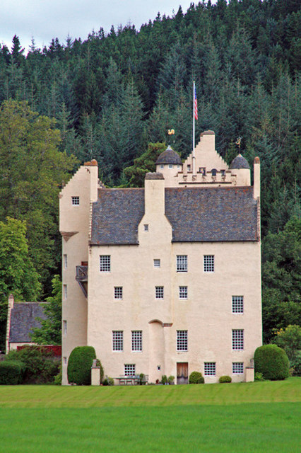
Aboyne Castle
Aboyne Castle (historical name: castrum de Obeyn; alternate names: Castle Of Aboyne or Aboyne Castle Policies; also Bonty Castle or Bunty Castle) is a...

Aboyne Hospital
Aboyne Hospital is a community hospital in Bellwood Road, Aboyne, Scotland. It is managed by NHS Grampian. == History == The facility, which was designed...
Aboyne railway station
Aboyne railway station was a station which served Aboyne in the Scottish county of Aberdeenshire. It was served by trains on the line from Aberdeen to...
Nearby Amenities
Located within 500m of 57.098723,-2.7553631Have you been to Little Hill?
Leave your review of Little Hill below (or comments, questions and feedback).