Quarry Hill
Hill, Mountain in Roxburghshire
Scotland
Quarry Hill

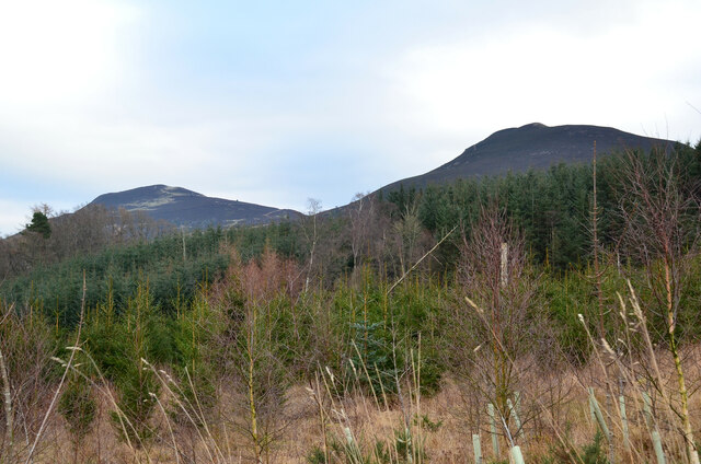
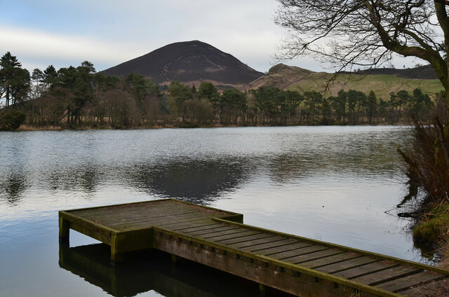
Quarry Hill is a prominent hill situated in the region of Roxburghshire, located in the Scottish Borders of Scotland. Standing at an elevation of approximately 340 meters (1,115 feet), it is considered a notable landmark in the area. The hill is positioned near the village of Oxnam, approximately 3 kilometers (1.9 miles) northwest of Jedburgh.
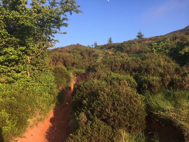
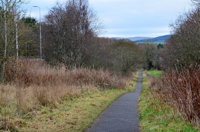
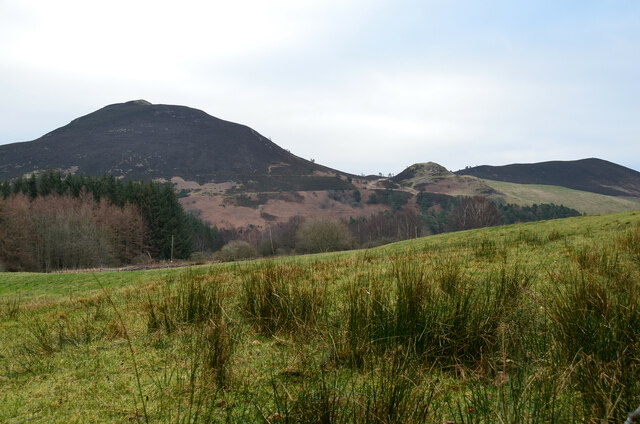
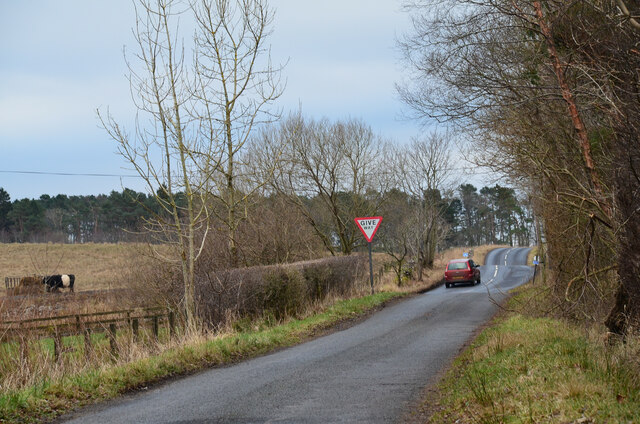
The terrain of Quarry Hill is characterized by its gently sloping sides and rounded summit, which offers panoramic views of the surrounding countryside. It is predominantly covered in grass and heather, with scattered patches of trees and shrubs dotting its slopes. The hill is accessible via well-defined footpaths that wind their way through the surrounding farmland.
Quarry Hill derives its name from the historical quarrying activities that took place in the area. In the past, the hill was a source of valuable building materials, such as sandstone and limestone, which were used for construction purposes in the local region. Today, the quarry is no longer active, and the hill has become a popular destination for outdoor enthusiasts, hikers, and nature lovers.
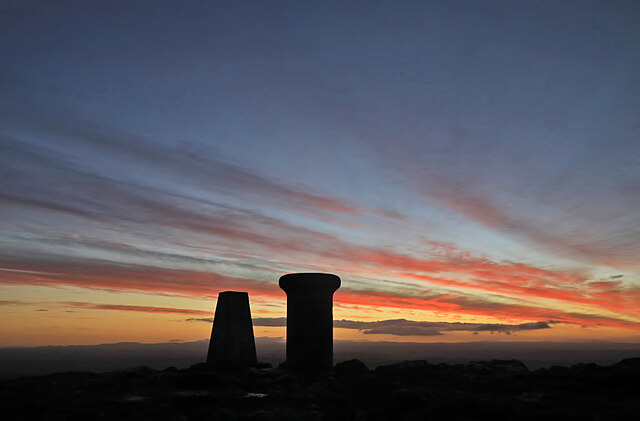
The summit of Quarry Hill provides breathtaking views of the rolling Scottish Borders countryside, with glimpses of nearby hills and valleys. On clear days, it is even possible to see as far as the Cheviot Hills to the south. The hill offers a tranquil and peaceful setting, inviting visitors to enjoy a leisurely stroll or a more challenging hike, depending on their preferences and fitness levels.
Overall, Quarry Hill in Roxburghshire is a picturesque and historically significant landmark, offering visitors the opportunity to explore the natural beauty of the Scottish Borders region while appreciating its industrial heritage.
If you have any feedback on the listing, please let us know in the comments section below.
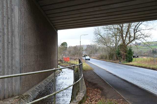
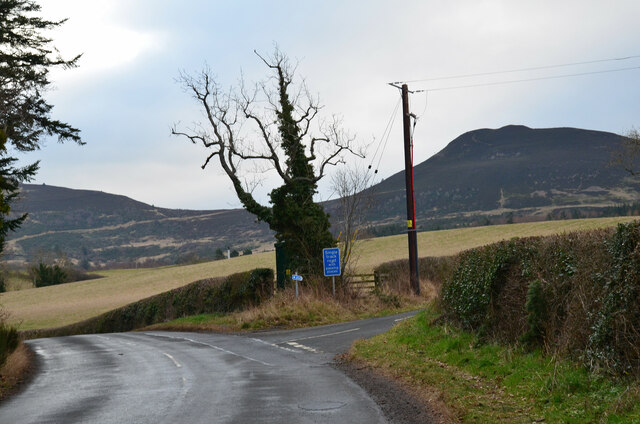
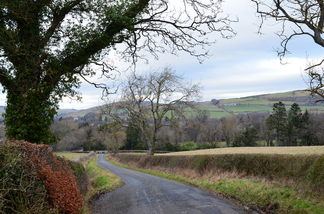
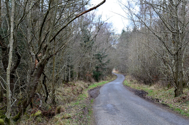
Quarry Hill Images
Images are sourced within 2km of 55.594575/-2.7292769 or Grid Reference NT5433. Thanks to Geograph Open Source API. All images are credited.


Quarry Hill is located at Grid Ref: NT5433 (Lat: 55.594575, Lng: -2.7292769)
Unitary Authority: The Scottish Borders
Police Authority: The Lothians and Scottish Borders
What 3 Words
///crawler.stuffy.playfully. Near Melrose, Scottish Borders
Nearby Locations
Related Wikis

Melrose, Scottish Borders
Melrose (Scottish Gaelic: Maolros, "bald moor") is a town and civil parish in the Scottish Borders, historically in Roxburghshire. It lies within the Eildon...

St. Mary's School, Melrose
St. Mary's School is a private, co-educational, day and boarding prep school in Melrose, Scotland. As of 2015 there are 190 pupils; 97 boys and 93 girls...
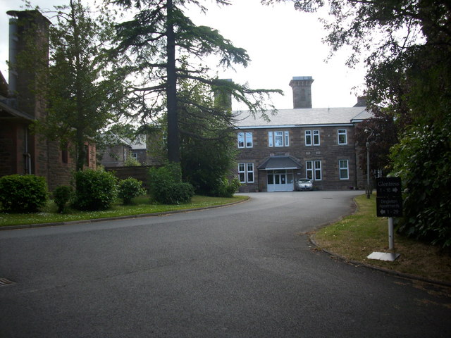
Dingleton Hospital
Dingleton Hospital was a mental health facility in Melrose, Scotland. The former boiler house is a Category B listed building. == History == The hospital...
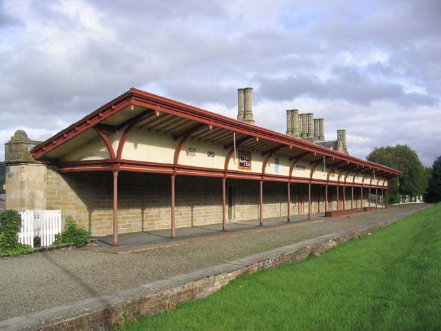
Melrose railway station
Melrose railway station served the town of Melrose, Roxburghshire, Scotland from 1849 to 1969 on the Waverley Route. == History == The station opened...
Nearby Amenities
Located within 500m of 55.594575,-2.7292769Have you been to Quarry Hill?
Leave your review of Quarry Hill below (or comments, questions and feedback).