Dingleton
Settlement in Roxburghshire
Scotland
Dingleton
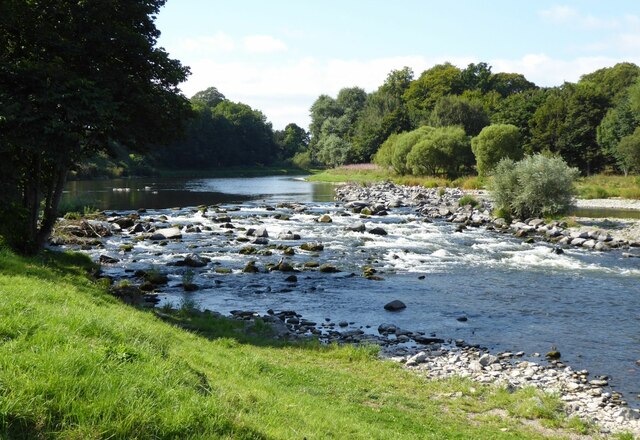
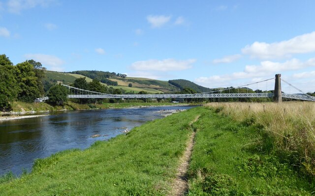
Dingleton is a small village located in the county of Roxburghshire, in the Scottish Borders region of Scotland. Situated on the southern bank of the River Tweed, it lies approximately 2 miles southeast of the town of Melrose.
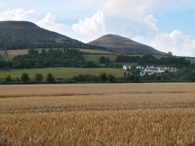
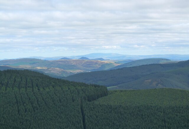
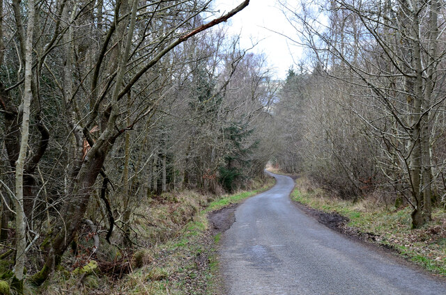
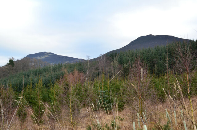
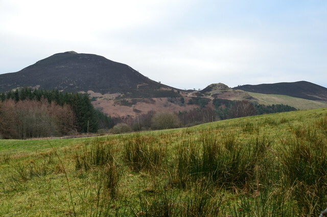
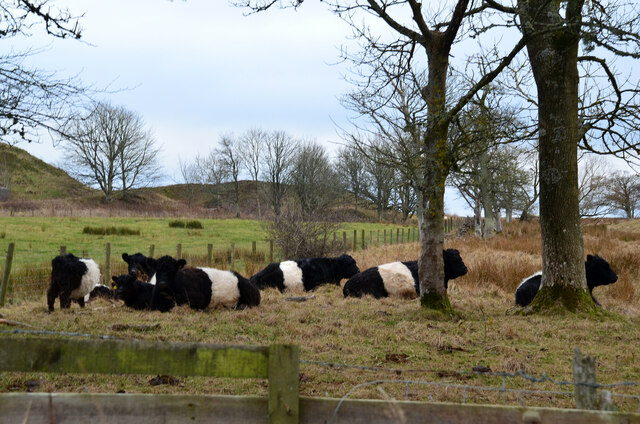
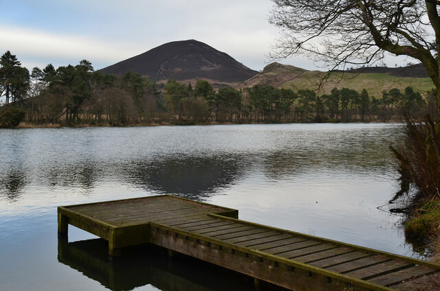
The village is known for its picturesque and tranquil surroundings, nestled within the stunning Scottish countryside. Dingleton is surrounded by rolling hills and lush green landscapes, providing a perfect setting for outdoor activities such as hiking and cycling. The nearby Eildon Hills, with their distinct triple peaks, offer breathtaking views and are popular among both locals and tourists.
Historically, Dingleton was primarily an agricultural community, with farming playing a significant role in the local economy. However, in recent years, the village has seen some diversification, with the development of residential properties and small businesses.
One notable feature of Dingleton is its close proximity to Melrose Abbey, an ancient and well-preserved monastery dating back to the 12th century. This iconic landmark attracts visitors from far and wide, drawn to its rich history and stunning architecture.
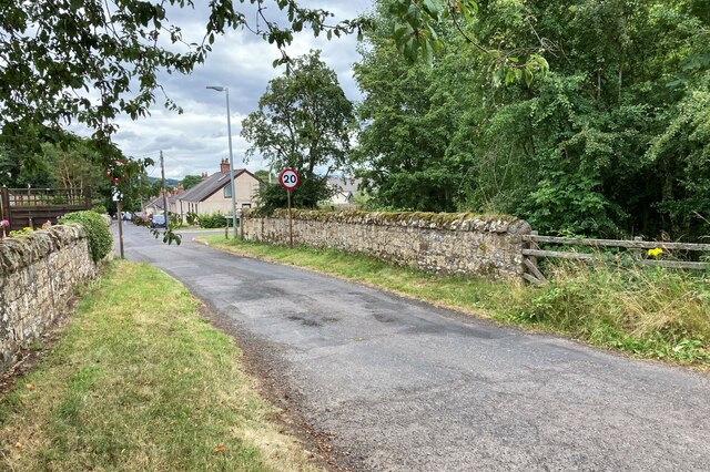
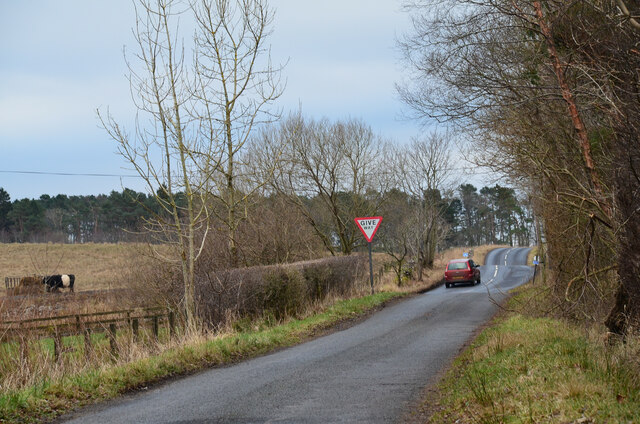
While Dingleton itself may be small in size, it benefits from its proximity to Melrose, which offers a range of amenities including shops, restaurants, and recreational facilities. With its charming rural setting and easy access to nearby attractions, Dingleton is a desirable location for those seeking a peaceful and idyllic lifestyle in the heart of the Scottish Borders.
If you have any feedback on the listing, please let us know in the comments section below.
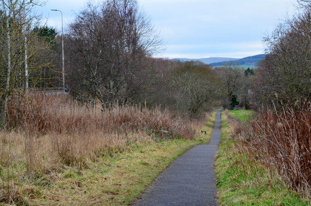
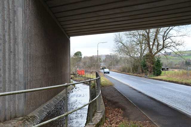
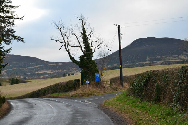
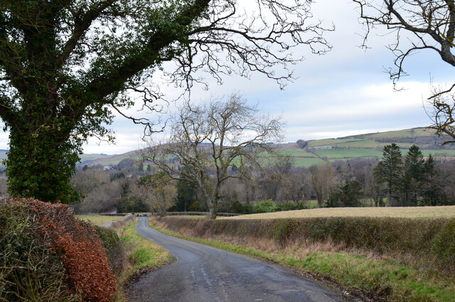
Dingleton Images
Images are sourced within 2km of 55.590566/-2.7265052 or Grid Reference NT5433. Thanks to Geograph Open Source API. All images are credited.
Dingleton is located at Grid Ref: NT5433 (Lat: 55.590566, Lng: -2.7265052)
Unitary Authority: The Scottish Borders
Police Authority: The Lothians and Scottish Borders
What 3 Words
///awkward.crumple.painting. Near Melrose, Scottish Borders
Nearby Locations
Related Wikis
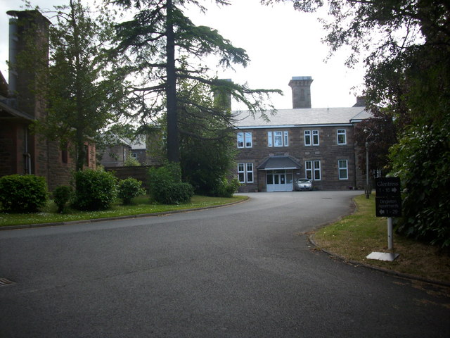
Dingleton Hospital
Dingleton Hospital was a mental health facility in Melrose, Scotland. The former boiler house is a Category B listed building. == History == The hospital...
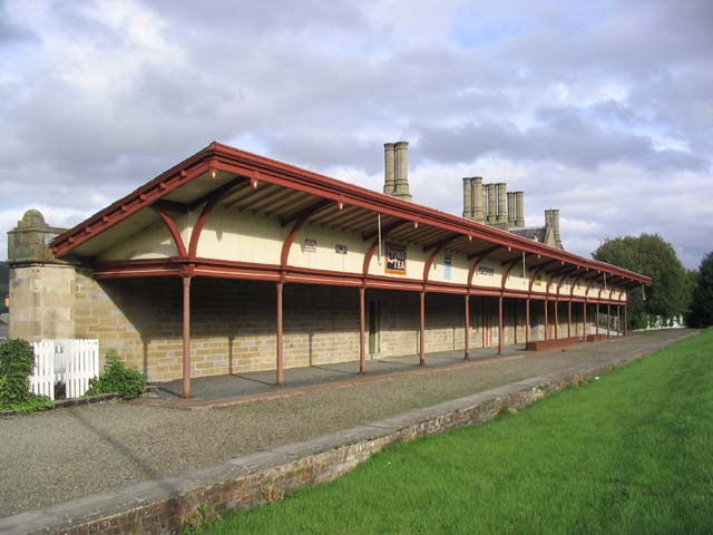
Melrose railway station
Melrose railway station served the town of Melrose, Roxburghshire, Scotland from 1849 to 1969 on the Waverley Route. == History == The station opened on...

Corn Exchange, Melrose
The Corn Exchange is a commercial building in the Market Square in Melrose, Scottish Borders, Scotland. The structure, which is now used as a public events...

Melrose, Scottish Borders
Melrose (Scottish Gaelic: Maolros, "bald moor") is a town and civil parish in the Scottish Borders, historically in Roxburghshire. It lies within the Eildon...
Nearby Amenities
Located within 500m of 55.590566,-2.7265052Have you been to Dingleton?
Leave your review of Dingleton below (or comments, questions and feedback).