Hughies Knowe

Hill, Mountain in Banffshire

Scotland

Hughies Knowe

Minor road at Ardiecow Looking south-eastward.
Minor road at Ardiecow Credit: Peter Wood

Hughies Knowe is a prominent hill located in Banffshire, Scotland. Situated in the northeastern part of the country, this natural feature is part of the larger Grampian Mountains range. With an elevation of approximately 400 meters (1,312 feet), it offers breathtaking views of the surrounding landscape.

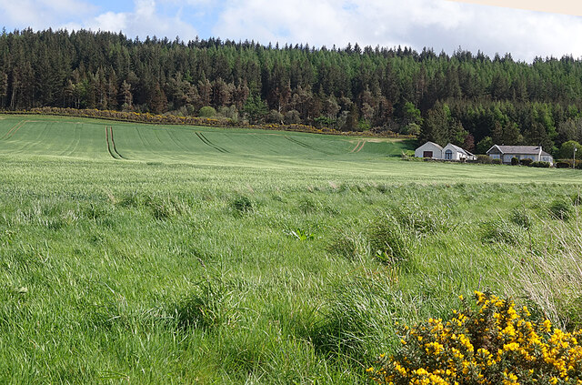
Hughies Knowe is characterized by its rugged terrain, covered with heather and grasses, which provide a vivid contrast against the gray rocks that make up its slopes. The hill's distinctive shape and steep incline make it a popular destination for hikers and outdoor enthusiasts seeking a challenging climb.

The summit of Hughies Knowe offers panoramic vistas of the surrounding area, including the nearby towns of Banff and Macduff, as well as the North Sea coastline. On clear days, it is possible to see as far as the Cairngorms National Park, with its snow-capped peaks in the distance.

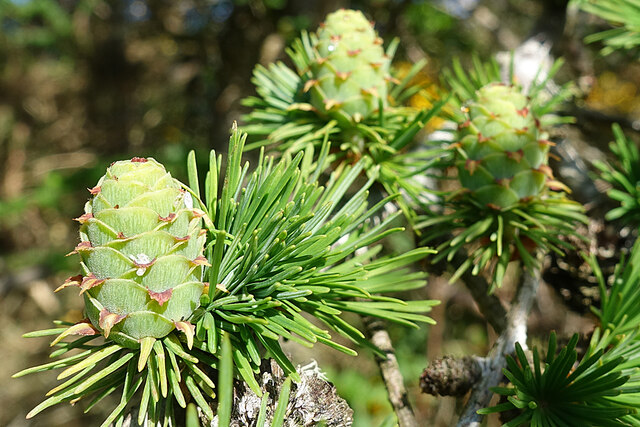
The hill is also home to a diverse range of flora and fauna. Visitors may encounter various species of birds, such as red grouse and peregrine falcons, as well as small mammals like rabbits and hares. The hillside is dotted with patches of woodland, providing habitat for numerous plant species, including heather, bilberry, and wildflowers.

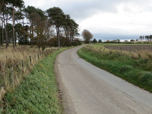
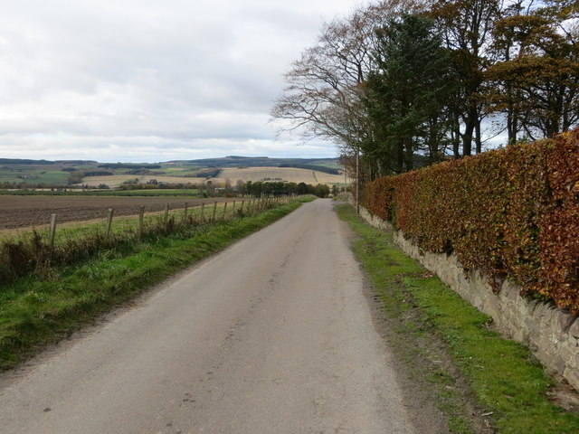
Access to Hughies Knowe is relatively straightforward, with several well-marked trails leading to the summit. However, caution is advised, as the weather conditions can change rapidly, and the terrain can be challenging, particularly during the winter months.

Overall, Hughies Knowe offers a rewarding outdoor experience, combining breathtaking views, rich biodiversity, and a chance to immerse oneself in the natural beauty of Banffshire.

If you have any feedback on the listing, please let us know in the comments section below.

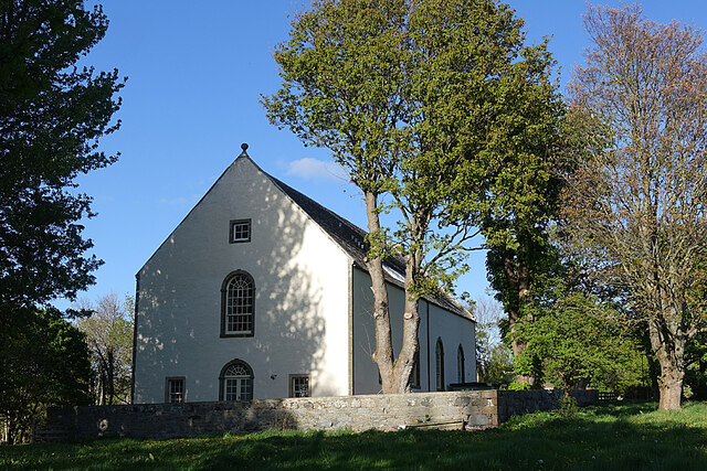
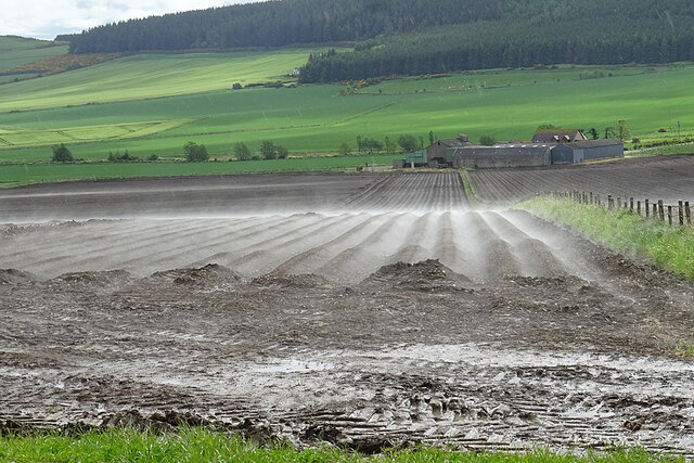
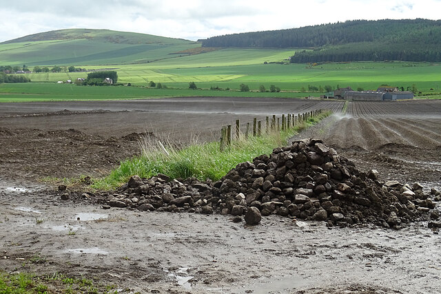
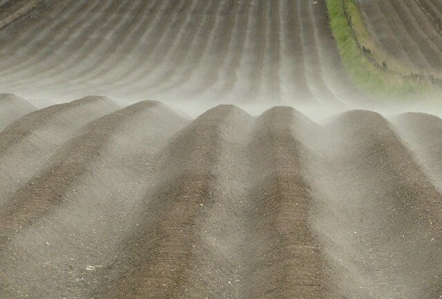
Hughies Knowe Images

Images are sourced within 2km of 57.648227/-2.7725941 or Grid Reference NJ5362. Thanks to Geograph Open Source API. All images are credited.

Minor road at Ardiecow Looking south-eastward.
Minor road at Ardiecow
Looking south-eastward.
Minor road at Ardiecow Looking north-westward.
Minor road at Ardiecow
Looking north-westward.
Brae of Fordyce The field of green shoots sweeps up past Brae of Fordyce to the edge of the forestry on Fordycehill.
Brae of Fordyce
The field of green shoots sweeps up past Brae of Fordyce to the edge of the forestry on Fordycehill.
Young Larch Cones Young green cones on a twig of a European Larch (Larix decidua) beside the road at Firfield Wood.
Young Larch Cones
Young green cones on a twig of a European Larch (Larix decidua) beside the road at Firfield Wood.
Fordyce Parish Kirk The plain kirk was built in 1804 and renovated in 1894. It was in use as a kirk until quite recently, but is now a seafood bistro with bed and breakfast. See Unfortunately it now claims as private the whole of the only bit of off-street parking in the entire village.
Fordyce Parish Kirk
The plain kirk was built in 1804 and renovated in 1894. It was in use as a kirk until quite recently, but is now a seafood bistro with bed and breakfast. See Unfortunately it now claims as private the whole of the only bit of off-street parking in the entire village.
Rising Mist Early morning mist rising from a ploughed field. The effect was very ephemeral - see <a href="https://www.geograph.org.uk/photo/7185758">NJ5463 : Ploughed Fields</a>, taken just one minute later. The farm in the distance is Breach.
Rising Mist
Early morning mist rising from a ploughed field. The effect was very ephemeral - see NJ5463 : Ploughed Fields, taken just one minute later. The farm in the distance is Breach.
Ploughed Fields This was taken just one minute after <a href="https://www.geograph.org.uk/photo/7185755">NJ5463 : Rising Mist</a>, and already the mist has dissipated.
Ploughed Fields
This was taken just one minute after NJ5463 : Rising Mist, and already the mist has dissipated.
Steamed potatoes Scottish farmers are experimenting with ways to bring pre-cooked potatoes from field to plate.
(Or perhaps just the effect of warm sunshine after a sharp shower.)
Steamed potatoes
Scottish farmers are experimenting with ways to bring pre-cooked potatoes from field to plate. (Or perhaps just the effect of warm sunshine after a sharp shower.)
Former Fordyce Parish Kirk Built 1804 to replace the medieval kirk in the village centre, which subsequently fell into ruin.  Now in residential use and it appears that the bellcote at the east end has been dismantled.
Former Fordyce Parish Kirk
Built 1804 to replace the medieval kirk in the village centre, which subsequently fell into ruin. Now in residential use and it appears that the bellcote at the east end has been dismantled.
Fields already harvested By Fordycehill Plantation. Looking north towards the village and on to the Moray Firth.
Fields already harvested
By Fordycehill Plantation. Looking north towards the village and on to the Moray Firth.
Burn of Fordyce
Burn of Fordyce
Church of Scotland, Fordyce
Farmland near Fordyce
Minor road near Fordyce
Farm track at Auchip
Breach Whins and spring barley.
Breach
Whins and spring barley.
Stubble, Ley A field awaiting ploughing near Fordyce.
Stubble, Ley
A field awaiting ploughing near Fordyce.
Woodland, Cotton Hill Not many brashings on the forest floor.
Woodland, Cotton Hill
Not many brashings on the forest floor.
Show me another place!

Hughies Knowe is located at Grid Ref: NJ5362 (Lat: 57.648227, Lng: -2.7725941)

Unitary Authority: Aberdeenshire

Police Authority: North East

What 3 Words

///octagonal.cheaper.times. Near Cullen, Moray

Nearby Locations

Hughies Knowe Sater Slack

Related Wikis

Fordyce Castle

Fordyce Castle is a T-plan castle, its oldest part dating from 1592, about three miles south-west of Portsoy, in the village of Fordyce, Aberdeenshire...

Fordyce, Aberdeenshire

Fordyce is a village in Aberdeenshire, Scotland that is slightly inland from the point where the Burn of Fordyce meets the sea between Cullen and Portsoy...

Fordyce Academy

Fordyce Academy, known until the mid-19th century as Fordyce School, and also sometimes called Smith's Academy, was a famous grammar school in the village...

Deskford Tower

Tower of Deskford was a 14th-century tower house, about 3.5 miles (5.6 km) south of Cullen, Moray, Scotland at Deskford, west of the burn. The tower and...

Nearby Amenities

Located within 500m of 57.648227,-2.7725941
Little Cultain
Place: isolated_dwelling
Lat/Long: 57.6512341/-2.7781101
Power: pole
Lat/Long: 57.651485/-2.7778377
Power: pole
Lat/Long: 57.6520822/-2.7760121
Power: pole
Lat/Long: 57.651995/-2.7753761
Power: pole
Lat/Long: 57.6518422/-2.7743091
Power: pole
Lat/Long: 57.6515488/-2.7733385
Power: pole
Lat/Long: 57.6517184/-2.7722803
Power: pole
Lat/Long: 57.6517794/-2.7699537
Power: pole
Lat/Long: 57.6518056/-2.7689795
Power: pole
Lat/Long: 57.6518337/-2.7678057
The data included in this document is from www.openstreetmap.org. The data is made available under ODbL.

Have you been to Hughies Knowe?

Leave your review of Hughies Knowe below (or comments, questions and feedback).