Brackenber Hill

Hill, Mountain in Westmorland Eden

England

Brackenber Hill

River Lowther under Low Gardens Bridge
River Lowther under Low Gardens Bridge Credit: John Gibson

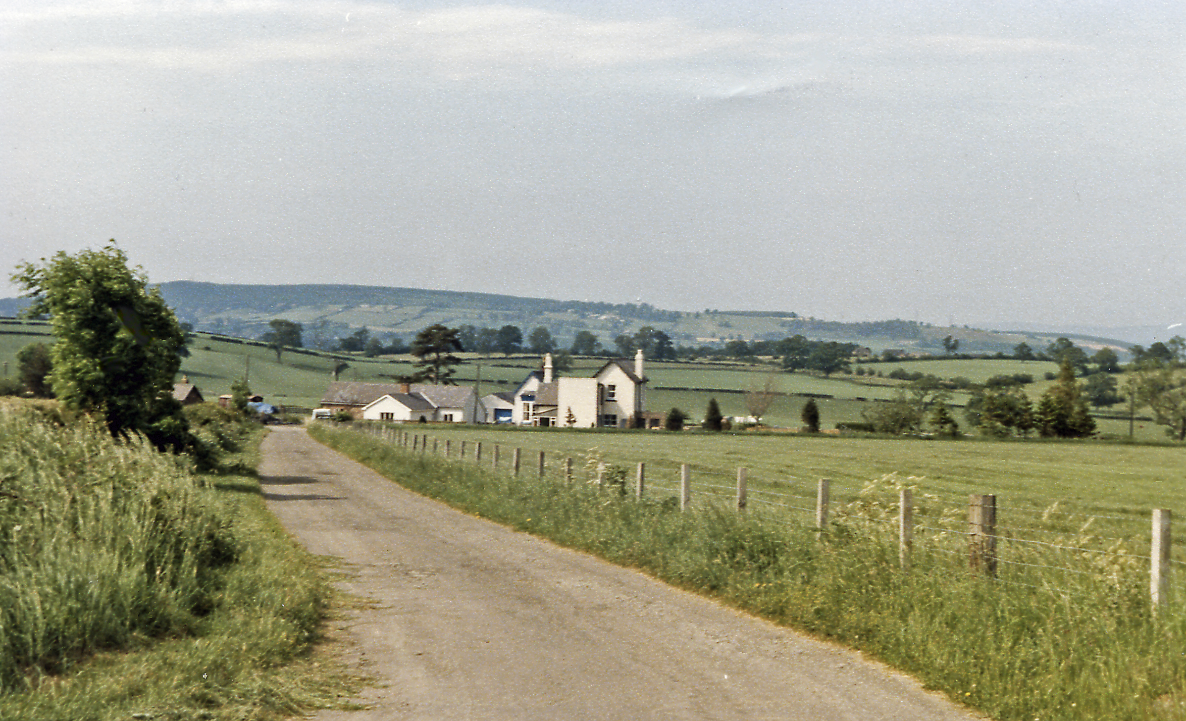
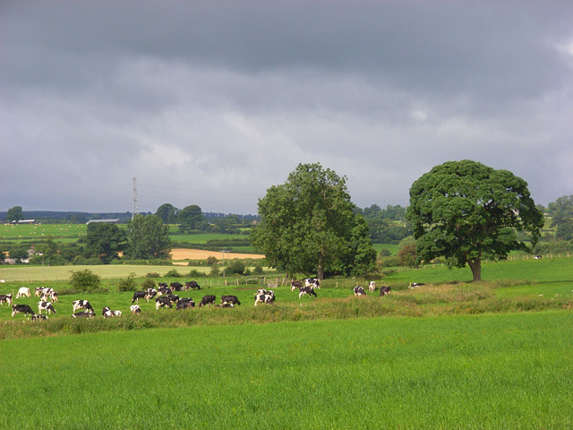
Brackenber Hill is a prominent geographical feature located in Westmorland, a historic county in the northwestern region of England. Situated within the beautiful landscape of the Lake District National Park, Brackenber Hill is a hill/mountain that offers stunning panoramic views of the surrounding countryside.

Standing at an elevation of approximately 1,397 feet (426 meters), Brackenber Hill is known for its distinctive conical shape and its verdant slopes covered in bracken, heather, and other native vegetation. The hill is composed primarily of volcanic rock, which gives it a rugged and weathered appearance.

The ascent to the summit of Brackenber Hill is relatively moderate, making it a popular destination for hikers and nature enthusiasts. The hill provides an excellent vantage point to appreciate the natural beauty of Westmorland. On a clear day, visitors can enjoy breathtaking vistas of the rolling hills, valleys, and nearby fells.

Besides its natural beauty, Brackenber Hill also holds historical significance. It was once the site of an Iron Age hillfort, with remnants of ancient fortifications still visible today. These archaeological remains provide a glimpse into the region's rich history and offer a unique insight into the lives of early settlers in the area.

Overall, Brackenber Hill is a captivating destination for those seeking a tranquil escape in the heart of Westmorland. Whether it's for a leisurely hike, a picnic with a view, or an exploration of the area's past, this hill/mountain promises a memorable experience for all who visit.

If you have any feedback on the listing, please let us know in the comments section below.

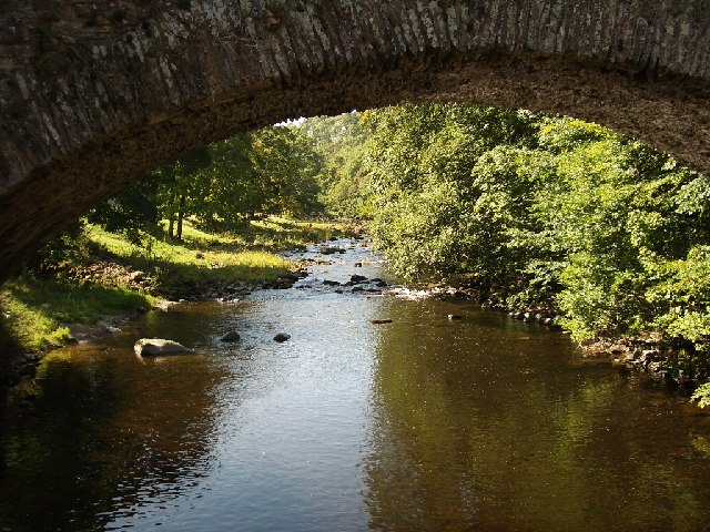
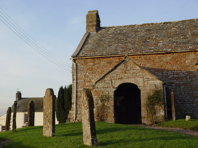
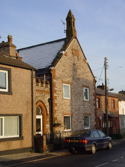
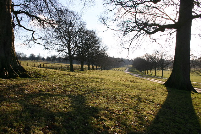
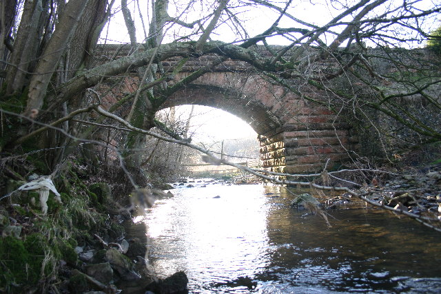
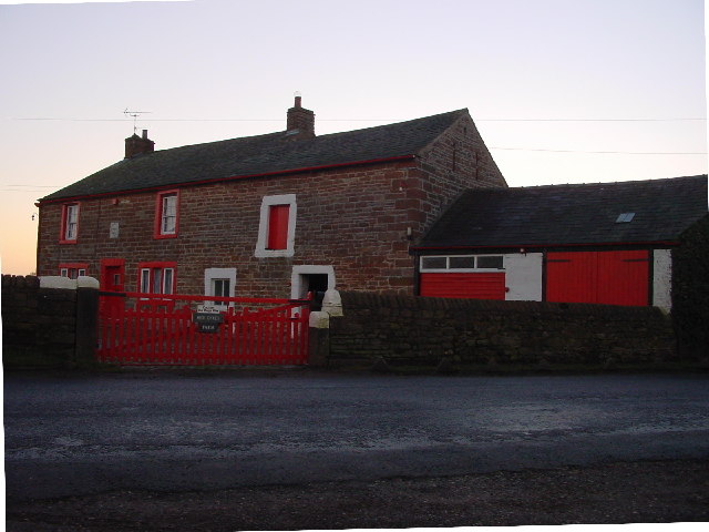
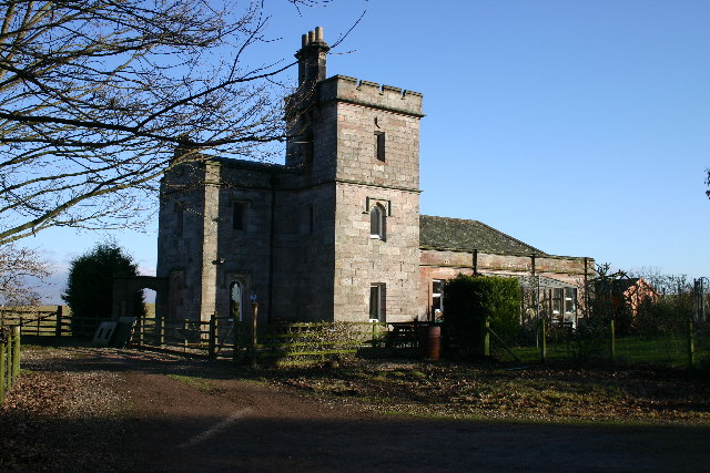
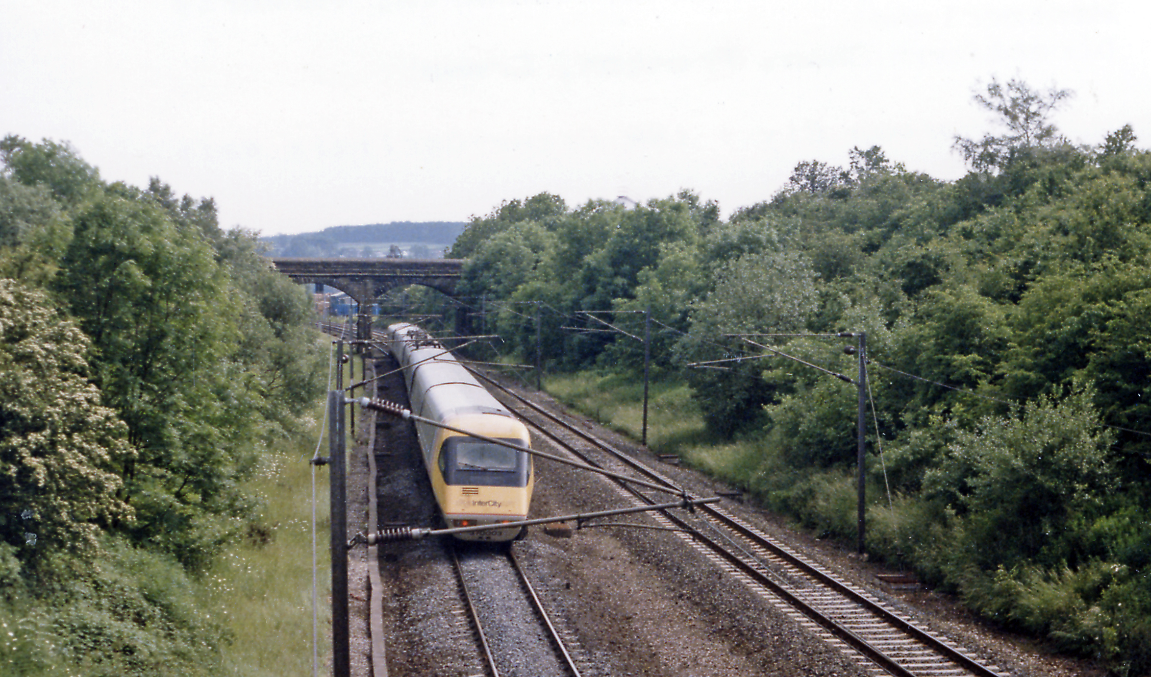
Brackenber Hill Images

Images are sourced within 2km of 54.622626/-2.7151419 or Grid Reference NY5325. Thanks to Geograph Open Source API. All images are credited.

River Lowther under Low Gardens Bridge
Ford, Melkinthorpe A shallow crossing of the River Leith.
Ford, Melkinthorpe
A shallow crossing of the River Leith.
Model Village, Lowther These estate houses were built in 1773 after drawings for a 'model' village by Robert Adam.  They were (in 2002) being modernised for a housing association, reducing the number of dwellings.
Model Village, Lowther
These estate houses were built in 1773 after drawings for a 'model' village by Robert Adam. They were (in 2002) being modernised for a housing association, reducing the number of dwellings.
Old Church, Clifton, Penrith I think this could be a private house? There are no signs outside and I saw a man take his dog into the building.
Old Church, Clifton, Penrith
I think this could be a private house? There are no signs outside and I saw a man take his dog into the building.
Old Chapel, Clifton Now a private house, The plaque reads "Wesleyan Chapel 1885"
Old Chapel, Clifton
Now a private house, The plaque reads "Wesleyan Chapel 1885"
M6 under the A6. I hope you agree this has produced an unusual photograph.
M6 under the A6.
I hope you agree this has produced an unusual photograph.
Private Drive in Lowther Park Only estate workers allowed here, so very quiet and tranquil.
Private Drive in Lowther Park
Only estate workers allowed here, so very quiet and tranquil.
The Hag This odd-shaped plantation shows clearly on map and ground. Deciduous trees on left, coniferous on right with the odd one ....
The Hag
This odd-shaped plantation shows clearly on map and ground. Deciduous trees on left, coniferous on right with the odd one ....
Standing Stones Located in Lowther Estates, and about 200m from the M6, the backdrop of the Pennines is breathtaking. Great Dun Fell with its "Golfball" on the summit lies between the two stones.
Standing Stones
Located in Lowther Estates, and about 200m from the M6, the backdrop of the Pennines is breathtaking. Great Dun Fell with its "Golfball" on the summit lies between the two stones.
Waterfalls Bridge Waterfalls Road crosses the River Leith.
Waterfalls Bridge
Waterfalls Road crosses the River Leith.
Ice Cream Farm Abbott Lodge Farm has not so much diversified as specialized; its milk is used to make icecream, sold at source. A car park, shop and children's playground help bring in customers. The sign presumably refers to drivers and not overindulged children.
Ice Cream Farm
Abbott Lodge Farm has not so much diversified as specialized; its milk is used to make icecream, sold at source. A car park, shop and children's playground help bring in customers. The sign presumably refers to drivers and not overindulged children.
Bridge Over Disappeared Railway The OS map clearly shows a dismantled line here, but the old cutting has been filled up the road level. Compare with <a href="https://www.geograph.org.uk/gridref/NY5425">NY5425</a> where an unmarked line is clearly visible on the ground.
Bridge Over Disappeared Railway
The OS map clearly shows a dismantled line here, but the old cutting has been filled up the road level. Compare with NY5425 where an unmarked line is clearly visible on the ground.
Disused Railway Bridge See also <a href="https://www.geograph.org.uk/gridref/NY5426">NY5426</a>. The bridleway beneath leads to Melkinthorpe.
Disused Railway Bridge
See also NY5426. The bridleway beneath leads to Melkinthorpe.
Wetheriggs Pottery Now a tourist attraction, as well as being a working pottery.
Wetheriggs Pottery
Now a tourist attraction, as well as being a working pottery.
High Dykes Farm
High Dykes Farm
Buckholme Lodge On the Lowther Estate, reached only by a private drive.
Buckholme Lodge
On the Lowther Estate, reached only by a private drive.
Modern Bridge Over River Lowther Just a few metres from the old bridge.
Modern Bridge Over River Lowther
Just a few metres from the old bridge.
Old (Low Gardens) Bridge Over River Lowther Just a few metres from the new bridge.
Old (Low Gardens) Bridge Over River Lowther
Just a few metres from the new bridge.
Show me another place!

Brackenber Hill is located at Grid Ref: NY5325 (Lat: 54.622626, Lng: -2.7151419)

Administrative County: Cumbria

District: Eden

Police Authority: Cumbria

What 3 Words

///release.necklaces.duke. Near Penrith, Cumbria

Nearby Locations

Brackenber Hill

Related Wikis

Clifton and Lowther railway station

Clifton & Lowther railway station was a station on the Lancaster and Carlisle Railway (L&CR) south of Penrith near to the village of Clifton. Although...

Clifton Moor Skirmish

The Clifton Moor Skirmish took place on the evening of Wednesday 18 December during the Jacobite rising of 1745. Following the decision to retreat from...

Clifton Moor railway station

Clifton Moor railway station was situated in England on the Eden Valley Railway between Penrith and Kirkby Stephen East. It served the village of Clifton...

Clifton, Cumbria

Clifton is a small linear village and civil parish in Cumbria, England. Historically part of Westmorland, it lies 3 miles (4.8 km) south east of Penrith...

River Lowther

The River Lowther is a small river which flows through limestone rock in Cumbria, England. It is a tributary of the River Eamont which in turn is a tributary...

Melkinthorpe

Melkinthorpe is a hamlet in the civil parish of Lowther, in the Eden district, in the county of Cumbria, England. It is near the villages of Hackthorpe...

Wetheriggs Pottery

Wetheriggs Pottery is a former pottery on the C3047 road, east of the hamlet of Clifton Dykes, in Clifton, Cumbria, 5 miles (8.0 km) southeast of Penrith...

Clifton Hall, Cumbria

Clifton Hall was a fortified manor house in the village of Clifton, Cumbria. Dating from around 1400, it was constructed by either Elianor Engaine or her...

Nearby Amenities

Located within 500m of 54.622626,-2.7151419
Railway: switch
Lat/Long: 54.618763/-2.7128031
Railway: switch
Lat/Long: 54.6239149/-2.7133008
Clifton Moor
Place: hamlet
Lat/Long: 54.6203866/-2.7141136
Post Box
Ref: CA10 96
Source: survey
Lat/Long: 54.6213682/-2.7150483
Power: pole
Lat/Long: 54.6202574/-2.7090311
Power: pole
Lat/Long: 54.6220278/-2.7101791
Power: pole
Lat/Long: 54.6229968/-2.710737
Power: pole
Lat/Long: 54.6239595/-2.7112842
Power: pole
Lat/Long: 54.6248912/-2.711834
Power: pole
Lat/Long: 54.6257996/-2.7123785
Railway: switch
Lat/Long: 54.6192931/-2.7130205
Clifton & Lowther Junction
Historic Railway: junction
Railway: site
Lat/Long: 54.6184637/-2.7127116
Power: pole
Lat/Long: 54.6184323/-2.7124313
Power: pole
Lat/Long: 54.6210922/-2.7081815
Clifton and Lowther
Historic Railway: station
Railway: site
Wikidata: Q5133345
Wikipedia: en:Clifton and Lowther railway station
Lat/Long: 54.6201383/-2.7131272
Generator Method: photovoltaic
Generator Output Electricity: yes
Generator Source: solar
Generator Type: solar_photovoltaic_panel
Location: roof
Power: generator
Lat/Long: 54.618539/-2.7153837
Generator Method: photovoltaic
Generator Output Electricity: yes
Generator Source: solar
Generator Type: solar_photovoltaic_panel
Location: roof
Power: generator
Lat/Long: 54.6185225/-2.7151947
Generator Method: photovoltaic
Generator Output Electricity: yes
Generator Source: solar
Generator Type: solar_photovoltaic_panel
Location: roof
Power: generator
Lat/Long: 54.619922/-2.7141132
Generator Method: photovoltaic
Generator Output Electricity: yes
Generator Source: solar
Generator Type: solar_photovoltaic_panel
Location: roof
Power: generator
Lat/Long: 54.6199126/-2.7139322
Power: pole
Transformer: yes
Lat/Long: 54.6203045/-2.7157991
Power: pole
Lat/Long: 54.6183523/-2.7129978
Power: pole
Lat/Long: 54.6203079/-2.7157921
Power: pole
Lat/Long: 54.6201164/-2.7169298
Power: pole
Lat/Long: 54.621686/-2.7169346
Power: pole
Lat/Long: 54.6213884/-2.7177796
Power: pole
Lat/Long: 54.6209722/-2.7189982
Power: pole
Lat/Long: 54.6205202/-2.7202574
Power: pole
Lat/Long: 54.6186004/-2.7169275
Power: pole
Lat/Long: 54.6193708/-2.7169441
Power: pole
Lat/Long: 54.6209653/-2.7169203
Power: pole
Lat/Long: 54.6225239/-2.7169227
Power: pole
Lat/Long: 54.6234155/-2.7169156
Power: pole
Lat/Long: 54.624008/-2.7169037
The data included in this document is from www.openstreetmap.org. The data is made available under ODbL.

Have you been to Brackenber Hill?

Leave your review of Brackenber Hill below (or comments, questions and feedback).