Brown's Hill
Hill, Mountain in Roxburghshire
Scotland
Brown's Hill
Brown's Hill is a prominent hill located in the county of Roxburghshire, Scotland. Situated in the southern part of the country, it forms part of the Southern Uplands, a range of hills and mountains that stretch across the Scottish Borders. With an elevation of 423 meters (1,388 feet), it offers stunning views of the surrounding landscape.
The hill is characterized by its gently sloping sides and a rounded summit. It is primarily composed of sedimentary rock, with layers of sandstone and shale visible along its slopes. The vegetation on Brown's Hill is predominantly heather, grasses, and scattered shrubs, giving it a picturesque appearance, especially during the summer months when the heather blooms.
Access to Brown's Hill is relatively straightforward, with several paths and tracks leading to the summit. It is a popular destination for hikers and outdoor enthusiasts, offering a moderate challenge and rewarding views at the top. On clear days, it is possible to see as far as the Cheviot Hills to the south and the Eildon Hills to the north.
The hill is named after the Brown family, who were local landowners in the area. It holds historical significance, with traces of ancient settlements and archaeological sites found in its vicinity. Brown's Hill is also home to a variety of wildlife, including birds of prey, such as buzzards and kestrels, as well as deer and other small mammals.
Overall, Brown's Hill in Roxburghshire is a natural landmark that provides an enjoyable outdoor experience for visitors, combining scenic beauty, historical interest, and wildlife observation opportunities.
If you have any feedback on the listing, please let us know in the comments section below.
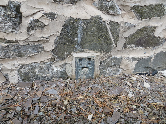
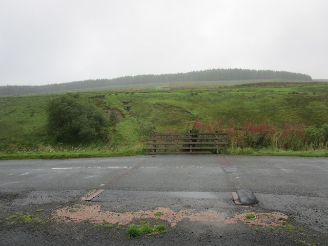
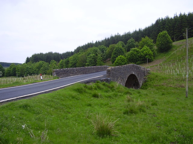
Brown's Hill Images
Images are sourced within 2km of 55.337765/-2.7350029 or Grid Reference NT5305. Thanks to Geograph Open Source API. All images are credited.


Brown's Hill is located at Grid Ref: NT5305 (Lat: 55.337765, Lng: -2.7350029)
Unitary Authority: The Scottish Borders
Police Authority: The Lothians and Scottish Borders
What 3 Words
///tarred.flips.decoding. Near Hawick, Scottish Borders
Nearby Locations
Related Wikis

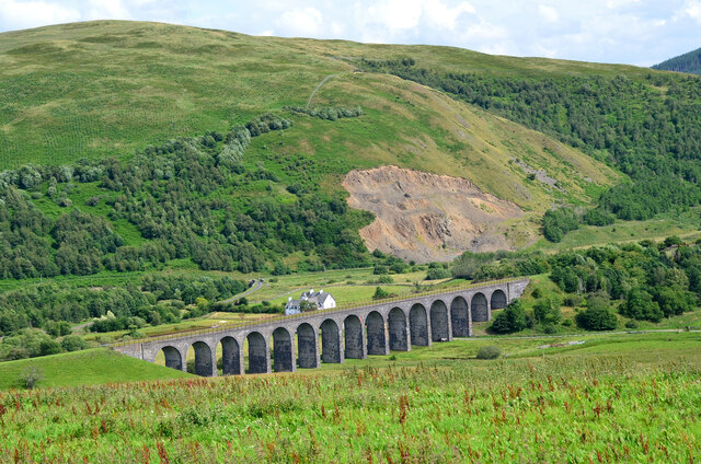
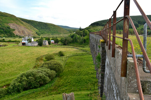
Shankend railway station
Shankend railway station served the hamlet of Shankend, Scottish Borders, Scotland from 1862 to 1969 on the Border Union Railway. == History == The station...

Shankend
Shankend Manor was a sixteenth-century mansion located some six miles (ten kilometres) south of Hawick, close to Whitrope Siding in Scotland. It was constructed...
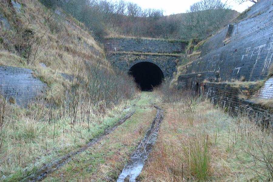
Whitrope Tunnel
The Whitrope Tunnel is a disused railway tunnel in the Scottish Borders, situated 12 miles (19 km) south of Hawick on the Waverley Route, close to Whitrope...
Whitrope
Whitrope is a densely forested, but sparsely populated area, high in the Southern Upland hills in the south central Scottish Borders in the former county...

Maiden Paps (Hawick)
The Maiden Paps are twin hills near Hawick, in the Scottish Borders of the south east of Scotland, so named because they have the shape of human breasts...

Waverley Route Heritage Association
Waverley Route Heritage Association is a heritage railway group involved with the history, heritage and preservation of the Waverley Route, based/centred...
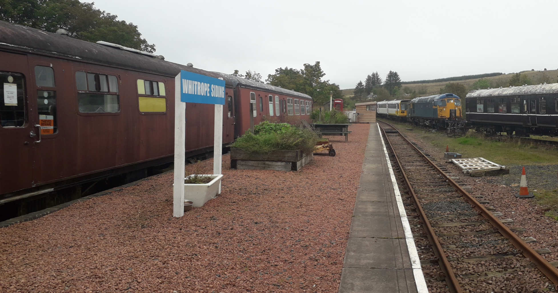
Whitrope Siding
Whitrope Siding was a trailing short siding or spur off the "up" (southbound) line, an associated trailing cross-over between up and down lines, a pair...
Stobs railway station
Stobs railway station served the hamlet of Barnes, Scottish Borders, Scotland from 1862 to 1969 on the Border Union Railway. == History == The station...
Have you been to Brown's Hill?
Leave your review of Brown's Hill below (or comments, questions and feedback).