Hay Hill

Hill, Mountain in Somerset Mendip

England

Hay Hill

Wookey (Somerset) St Matthew's church Not to be confused with Wookey Hole which has its own church.
Wookey (Somerset) St Matthew's church Credit: ChurchCrawler

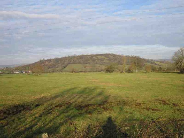
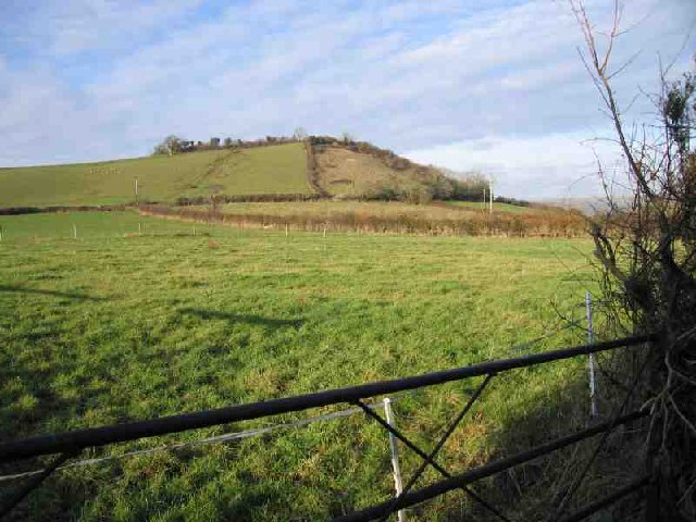
Hay Hill is a prominent hill located in the county of Somerset, England. It is part of the Mendip Hills, which is a range of limestone hills and plateaus. Standing at an elevation of approximately 272 meters (892 feet), Hay Hill offers breathtaking panoramic views of the surrounding countryside.

The hill itself is characterized by its gently sloping sides, covered in lush green grass and dotted with wildflowers. The summit of Hay Hill is relatively flat, making it an ideal spot for picnics or leisurely walks. The hill is accessible by footpaths and is a popular destination for hikers and nature enthusiasts.

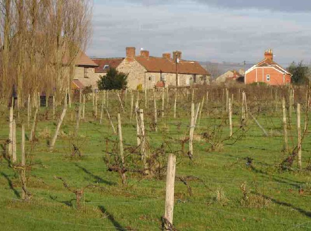
The area surrounding Hay Hill is predominantly rural, consisting of rolling farmland and small villages. The hill is situated near the village of Priddy, which is known for its annual sheep fair and traditional farming practices. The landscape is dotted with dry stone walls, hedgerows, and the occasional stand of trees, adding to the picturesque charm of the area.

Hay Hill is also home to a variety of wildlife, including birds, rabbits, and the occasional deer. It is a designated Area of Outstanding Natural Beauty (AONB), boasting a rich biodiversity and offering visitors the opportunity to observe and appreciate the natural surroundings.

Overall, Hay Hill in Somerset is a tranquil and scenic location, offering visitors the chance to escape the hustle and bustle of modern life and immerse themselves in the beauty of the English countryside.

If you have any feedback on the listing, please let us know in the comments section below.
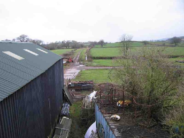
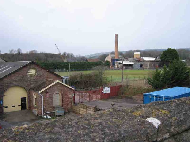
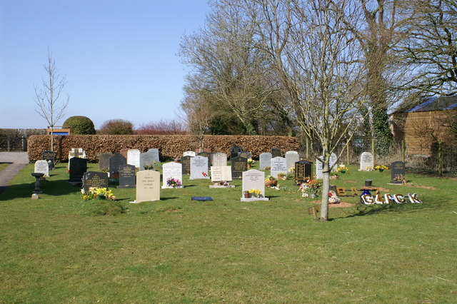
Hay Hill Images

Images are sourced within 2km of 51.198571/-2.6775238 or Grid Reference ST5244. Thanks to Geograph Open Source API. All images are credited.

Wookey (Somerset) St Matthew's church Not to be confused with Wookey Hole which has its own church.
Wookey (Somerset) St Matthew's church
Not to be confused with Wookey Hole which has its own church.
Wells Fire Station Wells Fire Station, Burcott Road, Wells, Somerset.
Wells Fire Station
Wells Fire Station, Burcott Road, Wells, Somerset.
Mill Pond Run-Off The Mill Pond Run-Off at Burcott Mill. From here the stream follows the road and contours (canal-like) to the west. It appears in geographs at <a href="https://www.geograph.org.uk/gridref/ST4845">ST4845</a> and <a href="https://www.geograph.org.uk/gridref/ST5045">ST5045</a>
Mill Pond Run-Off
The Mill Pond Run-Off at Burcott Mill. From here the stream follows the road and contours (canal-like) to the west. It appears in geographs at ST4845 and ST5045
Wells Cemetery Wells Cemetery is shown on the 1940's map.
Wells Cemetery
Wells Cemetery is shown on the 1940's map.
Wells, St Cuthbert Out: Burcott Mill A 19th century watermill powered by a leat from the river Axe. Restored to working order in 1990 and now open to the public and offering accommodation. The internal waterwheel, cast by ironfounders Bodley Brothers, of Exeter, dates from 1864. See <span class="nowrap"><a title="http://www.burcottmill.com/pages/firstpage.htm" rel="nofollow ugc noopener" href="http://www.burcottmill.com/pages/firstpage.htm">Link</a><img style="margin-left:2px;" alt="External link" title="External link - shift click to open in new window" src="https://s1.geograph.org.uk/img/external.png" width="10" height="10"/></span> for details of opening times. By the B3139 Wells – Burnham-on-Sea road
Wells, St Cuthbert Out: Burcott Mill
A 19th century watermill powered by a leat from the river Axe. Restored to working order in 1990 and now open to the public and offering accommodation. The internal waterwheel, cast by ironfounders Bodley Brothers, of Exeter, dates from 1864. See LinkExternal link for details of opening times. By the B3139 Wells – Burnham-on-Sea road
Ben Knowle Hill It's a Hill. One of many that sticks out from the Somerset Levels. This one in particular is part or a chain that runs West from Wells. Others are isolated; I'll be bagging those soon.
Ben Knowle Hill
It's a Hill. One of many that sticks out from the Somerset Levels. This one in particular is part or a chain that runs West from Wells. Others are isolated; I'll be bagging those soon.
Stream near Melsbury Yet another stream helping to manage the water on the Levels. Despite clearly flowing, the smoothness of the surface gave an excellent reflection.
Stream near Melsbury
Yet another stream helping to manage the water on the Levels. Despite clearly flowing, the smoothness of the surface gave an excellent reflection.
Coxley Vineyard The Somerset Levels are clearly well suited for grapes, not that I like English wine that much. The Mendips can be seen in the background, in particular the Mendip Mast at <a href="https://www.geograph.org.uk/gridref/ST5648">ST5648</a>.
Coxley Vineyard
The Somerset Levels are clearly well suited for grapes, not that I like English wine that much. The Mendips can be seen in the background, in particular the Mendip Mast at ST5648.
Hay Hill Hay Hill is one of the chain to the West of Wells. The side is steeper than it looks.
Hay Hill
Hay Hill is one of the chain to the West of Wells. The side is steeper than it looks.
Old Railway The track of an old railway running NW out of Wells can be seen. The line was a victim of Beeching. The shed in the foreground (built over the line) is used by one of the Carnival Clubs for building their elaborate floats.
Old Railway
The track of an old railway running NW out of Wells can be seen. The line was a victim of Beeching. The shed in the foreground (built over the line) is used by one of the Carnival Clubs for building their elaborate floats.
St Cuthberts Paper Mill St Cuthberts Paper Mill is in the distance where the chimney is. You can see demonstrations of paper making if you visit the Wookey Hole cave complex (where Wookey paper mill is). The building in the foreground is an old station on the now disused railway line that ran from Wells to Cheddar.
St Cuthberts Paper Mill
St Cuthberts Paper Mill is in the distance where the chimney is. You can see demonstrations of paper making if you visit the Wookey Hole cave complex (where Wookey paper mill is). The building in the foreground is an old station on the now disused railway line that ran from Wells to Cheddar.
Greenfields Parish of Wookey Cemetery on Doctor's Hill
Greenfields Parish of Wookey
Cemetery on Doctor's Hill
The River Sheppey The River Sheppey flowing westwards towards the Somerset Levels from just to the west of Woodford Bridge.
The River Sheppey
The River Sheppey flowing westwards towards the Somerset Levels from just to the west of Woodford Bridge.
Keward Brook The brook is flowing towards the photographer past a new housing estate on the left.  Approximately a mile further west the brook joins the River Sheppey and heads off towards the Somerset Levels.
Keward Brook
The brook is flowing towards the photographer past a new housing estate on the left. Approximately a mile further west the brook joins the River Sheppey and heads off towards the Somerset Levels.
Woodford Farm buildings Woodford Farm buildings. These are in the process of being developed into holiday homes.
Woodford Farm buildings
Woodford Farm buildings. These are in the process of being developed into holiday homes.
Woodford Farm building A Woodford Farm building. It is in the process of being developed into holiday homes.
Woodford Farm building
A Woodford Farm building. It is in the process of being developed into holiday homes.
Wells churches from Woodford Farm Looking northeast from the north-side of Woodford Farm buildings. Wells Cathedral, St. Cuthbert's Church and St. Thomas's Church can be seen.
Wells churches from Woodford Farm
Looking northeast from the north-side of Woodford Farm buildings. Wells Cathedral, St. Cuthbert's Church and St. Thomas's Church can be seen.
Wells from Woodford Farm buildings. Looking northeast from the north-side of Woodford Farm buildings. Wells Cathedral and the television mast on Penn Hill can be seen.
Wells from Woodford Farm buildings.
Looking northeast from the north-side of Woodford Farm buildings. Wells Cathedral and the television mast on Penn Hill can be seen.
Show me another place!

Hay Hill is located at Grid Ref: ST5244 (Lat: 51.198571, Lng: -2.6775238)

Administrative County: Somerset

District: Mendip

Police Authority: Avon and Somerset

What 3 Words

///attention.backfired.bars. Near Wells, Somerset

Nearby Locations

Hay Hill

Related Wikis

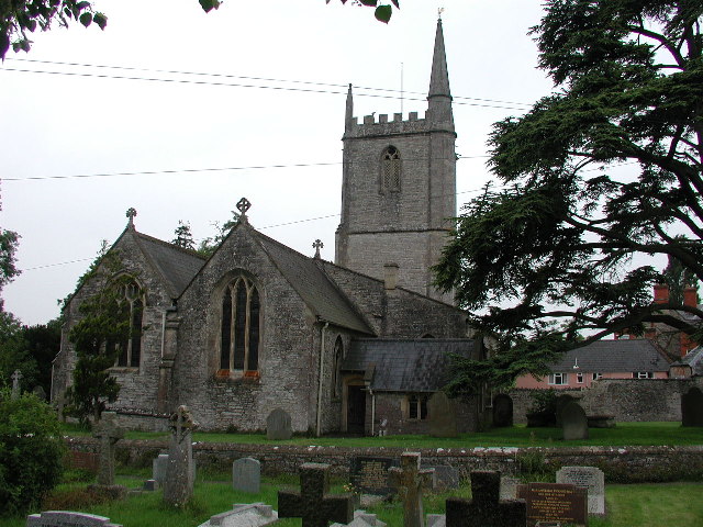
Christ Church, Coxley

Christ Church is a Church of England church in Coxley, Somerset, England. It was built in 1839–40 to the designs of Richard Carver and is a Grade II listed...

Ben Knowle

Ben Knowle (grid reference ST513450) is a 1.5 hectare geological Site of Special Scientific Interest in Somerset, notified in 1984. Ben Knowle is a natural...

Wookey

Wookey is a village and civil parish 2 miles (3.2 km) west of Wells, on the River Axe in Somerset, England. The parish includes the village of Henton and...

Wookey railway station

Wookey railway station was a station on the Bristol and Exeter Railway's Cheddar Valley line in Somerset, England. The site is a 0.04 hectare geological...

Nearby Amenities

Located within 500m of 51.198571,-2.6775238
Hay Hill
Natural: peak
Lat/Long: 51.1985094/-2.6781117
Coxley Wick
Place: hamlet
Source: New Popular Edition
Lat/Long: 51.1948995/-2.675189
Power: pole
Lat/Long: 51.1946116/-2.6799283
Power: pole
Lat/Long: 51.1953857/-2.6786392
Power: pole
Lat/Long: 51.1959916/-2.6776402
Power: pole
Lat/Long: 51.1965099/-2.6768694
Power: pole
Lat/Long: 51.1969576/-2.6753897
Power: pole
Lat/Long: 51.1974995/-2.6736629
Power: pole
Lat/Long: 51.1980279/-2.6720005
Power: pole
Lat/Long: 51.1985782/-2.6703623
Power: pole
Lat/Long: 51.1942193/-2.6781833
Power: pole
Lat/Long: 51.1946019/-2.6775463
Power: pole
Lat/Long: 51.1950343/-2.6768297
Material: wood
Power: pole
Lat/Long: 51.1954834/-2.6760821
Material: wood
Power: pole
Lat/Long: 51.1959242/-2.675361
Material: wood
Power: pole
Lat/Long: 51.1963954/-2.6745427
Power: pole
Lat/Long: 51.1969775/-2.6735651
Power: pole
Lat/Long: 51.197543/-2.6726538
Power: pole
Lat/Long: 51.19817/-2.6720099
Power: pole
Lat/Long: 51.1986989/-2.6707384
The data included in this document is from www.openstreetmap.org. The data is made available under ODbL.

Have you been to Hay Hill?

Leave your review of Hay Hill below (or comments, questions and feedback).