Berry Hill
Hill, Mountain in Cumberland Carlisle
England
Berry Hill
Berry Hill is a prominent geographical feature located in Cumberland County, in the state of Maine, United States. It is a picturesque hill and mountain range that forms part of the larger Appalachian Mountains, stretching across a vast terrain of around 10 square miles.
With a summit elevation of approximately 2,100 feet, Berry Hill offers breathtaking panoramic views of the surrounding landscape, including the rolling hills, dense forests, and sparkling lakes that characterize the region. The hill is known for its rugged terrain, characterized by steep slopes and rocky outcrops, which attract outdoor enthusiasts and adventure seekers alike.
The area surrounding Berry Hill is teeming with diverse flora and fauna, making it a haven for nature lovers and wildlife enthusiasts. The dense forest that covers its slopes is home to a variety of tree species, including white pine, oak, and maple. Wildlife species such as deer, foxes, and various bird species can often be spotted in the area.
Berry Hill also holds historical significance, as it is believed to have been named after a local pioneer family who settled in the region in the late 18th century. Today, the hill and its surroundings offer numerous recreational activities, with hiking, camping, and birdwatching being popular among visitors.
Overall, Berry Hill in Cumberland County is a natural treasure, offering both scenic beauty and opportunities for outdoor exploration. Its rugged terrain, diverse wildlife, and historical significance make it a must-visit destination for nature enthusiasts and adventurers alike.
If you have any feedback on the listing, please let us know in the comments section below.
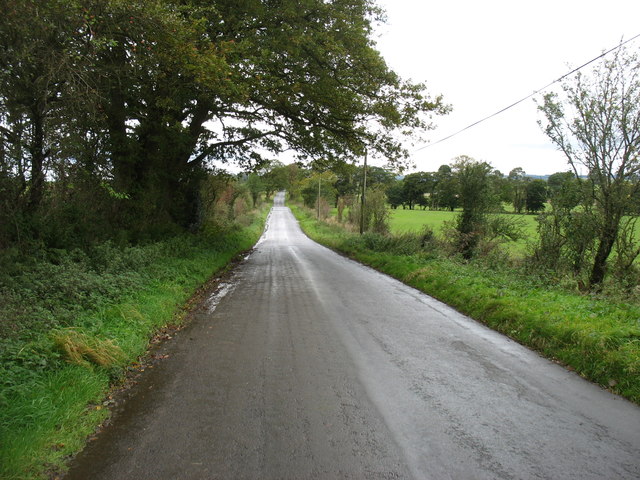
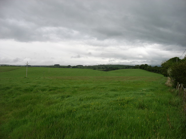
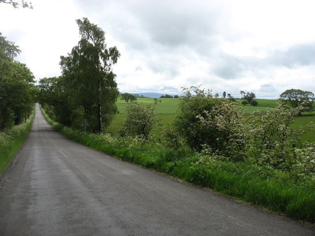
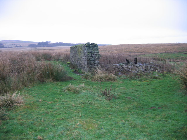
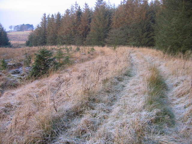
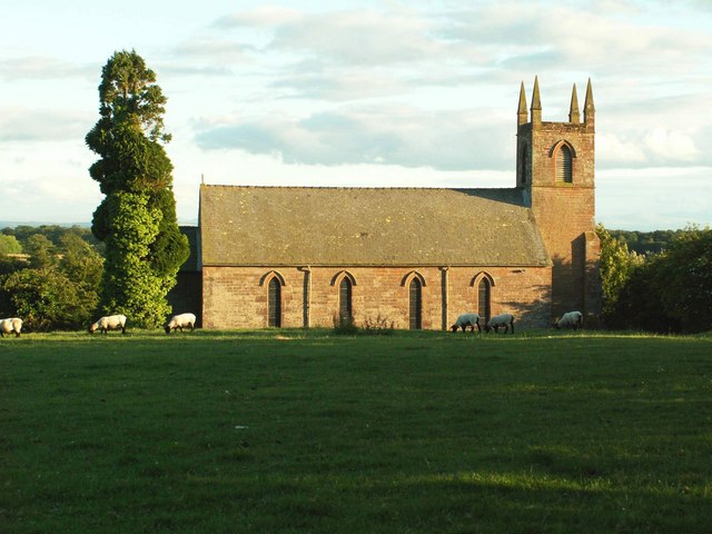
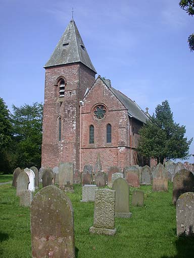
Berry Hill Images
Images are sourced within 2km of 55.019802/-2.7404179 or Grid Reference NY5269. Thanks to Geograph Open Source API. All images are credited.


Berry Hill is located at Grid Ref: NY5269 (Lat: 55.019802, Lng: -2.7404179)
Administrative County: Cumbria
District: Carlisle
Police Authority: Cumbria
What 3 Words
///absorbing.parts.unsightly. Near Brampton, Cumbria
Nearby Locations
Related Wikis

Askerton Castle
Askerton Castle is a medieval fortified manor house in Cumbria, England. == History == Askerton Castle was built in the parish of Askerton in Cumbria around...

Askerton
Askerton is a civil parish in the City of Carlisle district of Cumbria, England. It has a population of 162 according to the 2001 census, decreasing to...
Stapleton, Cumbria
Stapleton is a village and civil parish in the City of Carlisle district, in the county of Cumbria, in the North West of England. It falls under the jurisdiction...
St Mary's Church, Walton
St Mary's Church is in the village of Walton, Cumbria, England. It is an active Anglican parish church in the deanery of Brampton, the archdeaconry of...

Walton, Cumbria
Walton is a village and civil parish in the far north of Cumbria, England. It is located 10 miles (16 km) from Carlisle and is about 2 miles (3 km) north...

Milecastle 56
Milecastle 56 (Walton) was a milecastle on Hadrian's Wall (grid reference NY522643). == Description == Milecastle 56 is thought to lie northeast of the...

Milecastle 55
Milecastle 55 (Low Wall) was a milecastle on Hadrian's Wall (grid reference NY53596437). == Description == Milecastle 55 is in a pasture field east of...

Hethersgill
Hethersgill is a village and a civil parish in the Carlisle district, in the county of Cumbria, England. Hethersgill has a church called St Mary's Church...
Nearby Amenities
Located within 500m of 55.019802,-2.7404179Have you been to Berry Hill?
Leave your review of Berry Hill below (or comments, questions and feedback).