Barbieston
Settlement in Ayrshire
Scotland
Barbieston
Barbieston is a small village situated in the historical county of Ayrshire, Scotland. Nestled amidst picturesque rolling hills and lush greenery, it is located approximately 7 miles northeast of the town of Mauchline and about 15 miles southeast of the city of Kilmarnock.
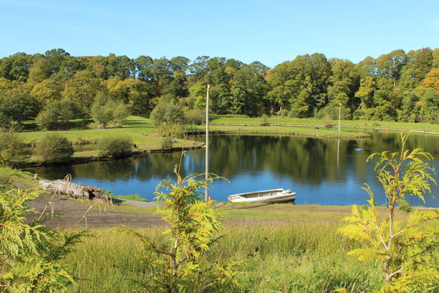
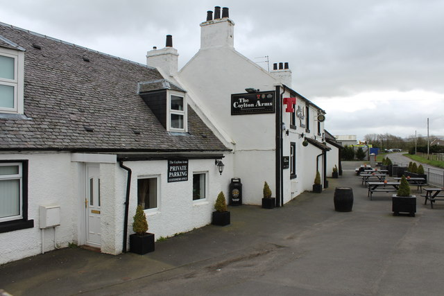
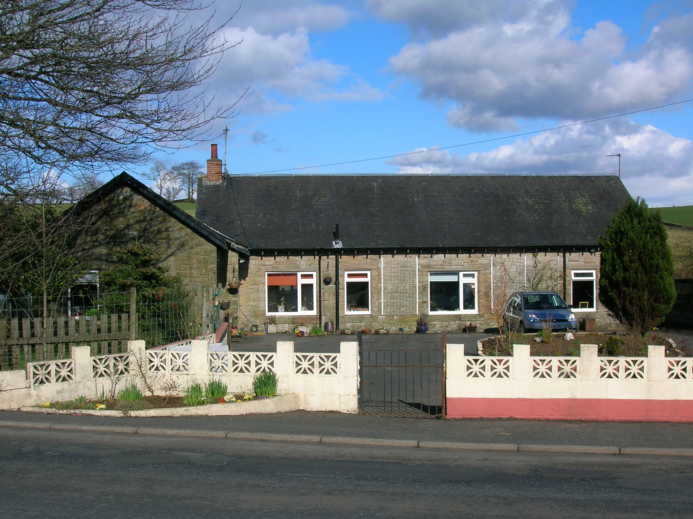
With a population of around 200 residents, Barbieston exudes a tranquil and close-knit community atmosphere. The village is characterized by its charming stone cottages and well-maintained gardens, which add to its aesthetic appeal. The surrounding countryside offers breathtaking views and provides ample opportunities for outdoor activities such as hiking, cycling, and wildlife spotting.
Barbieston is well-connected to neighboring towns and cities by road networks. The nearby A76 road provides easy access to Kilmarnock and Dumfries, while the A71 road connects the village to Mauchline and Irvine. Despite its rural location, amenities can be found in the nearby towns, including schools, shops, and medical facilities.
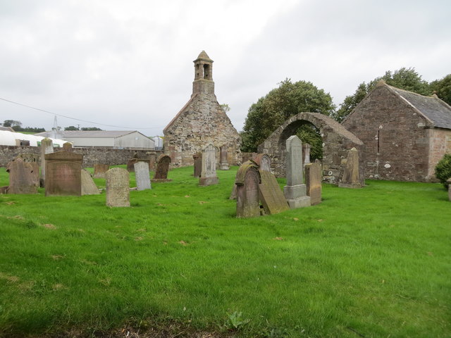
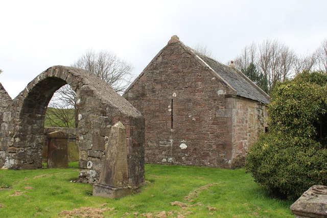
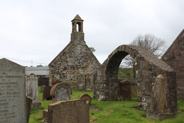
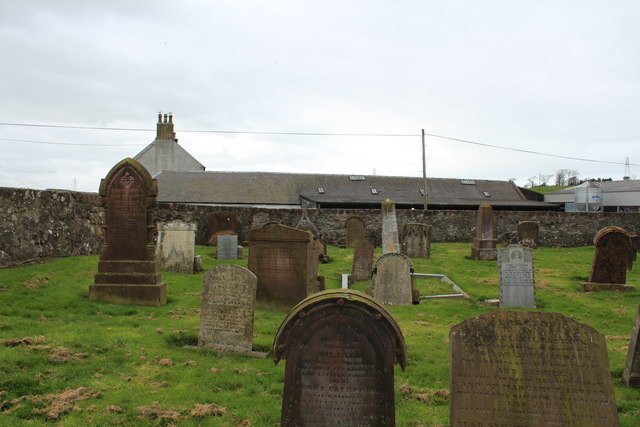
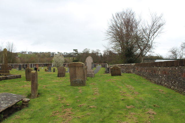
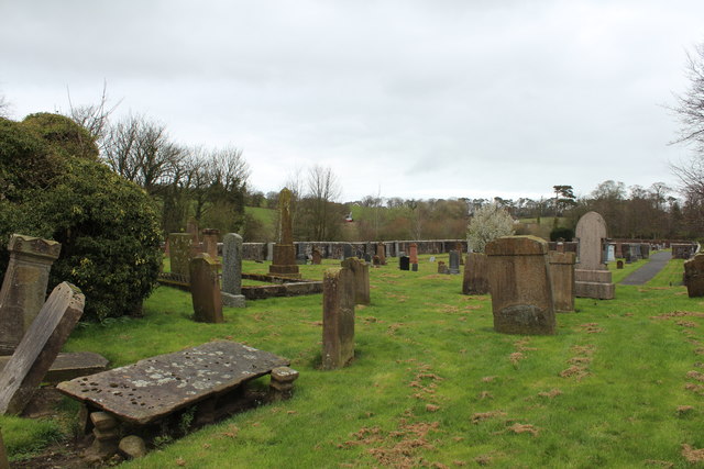
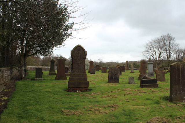
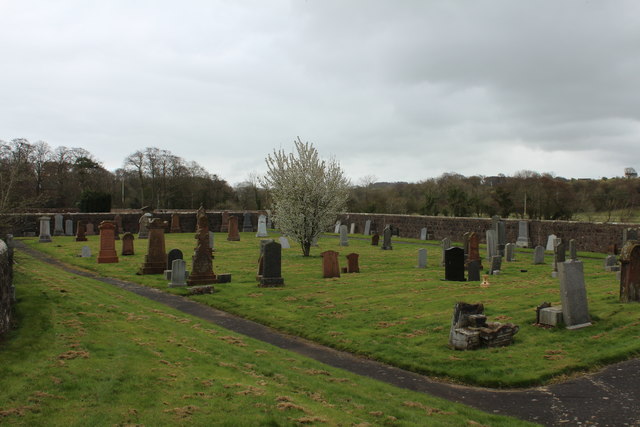
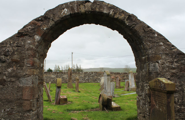
The village is steeped in history, with traces of its past visible in the form of ancient ruins and historical landmarks. The Barbieston Cairn, a prehistoric burial monument, stands as a testament to the area's rich heritage. Additionally, the village is surrounded by fertile farmland, which has been cultivated for centuries and contributes to the local agricultural economy.
Overall, Barbieston offers a peaceful and idyllic lifestyle, making it an attractive destination for those seeking a rural retreat while still being within reach of urban conveniences.
If you have any feedback on the listing, please let us know in the comments section below.
Barbieston Images
Images are sourced within 2km of 55.427838/-4.476955 or Grid Reference NS4317. Thanks to Geograph Open Source API. All images are credited.


Barbieston is located at Grid Ref: NS4317 (Lat: 55.427838, Lng: -4.476955)
Unitary Authority: South Ayrshire
Police Authority: Ayrshire
What 3 Words
///wagers.liner.distilled. Near Drongan, East Ayrshire
Nearby Locations
Related Wikis

Millmannoch
Millmannoch, also once known locally as the 'Mill of Mannoch' or Kilmannoch, is a ruined mill and hamlet in the old Barony of Sundrum, South Ayrshire,...

Drongan
Drongan is a former mining village in East Ayrshire, some 8 miles (13 km) east of Ayr and west of Cumnock. It had a population of 4686 in 2011. == History... ==
Drongan railway station
Drongan railway station (NS445190) was a railway station serving the village of Drongan, East Ayrshire, Scotland. The station was originally part of the...

Loch Shield
Loch Shield (NS 45521 19444), originally Loch of Scheel was a freshwater loch in the East Ayrshire Council Area, now drained, near Drongan, lying in a...
Nearby Amenities
Located within 500m of 55.427838,-4.476955Have you been to Barbieston?
Leave your review of Barbieston below (or comments, questions and feedback).