Hornshole Hill

Hill, Mountain in Roxburghshire

Scotland

Hornshole Hill

House in Cauldmill
House in Cauldmill Credit: JThomas

Hornshole Hill, located in Roxburghshire, Scotland, is a prominent hill known for its historical significance and picturesque views. Standing at an elevation of approximately 251 meters (823 feet), it is a prominent feature in the landscape of the region.

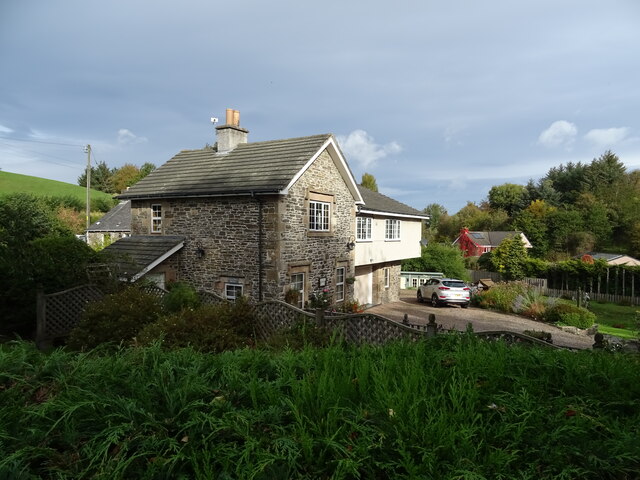
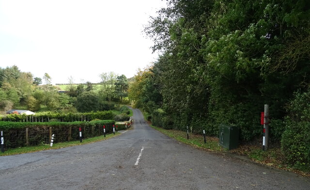
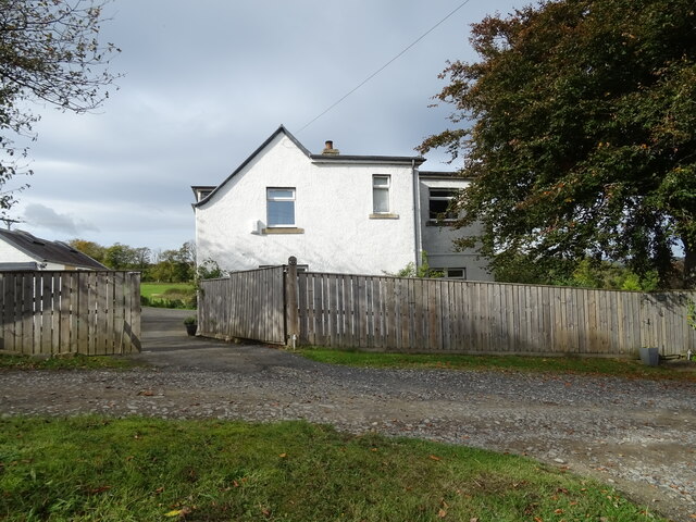
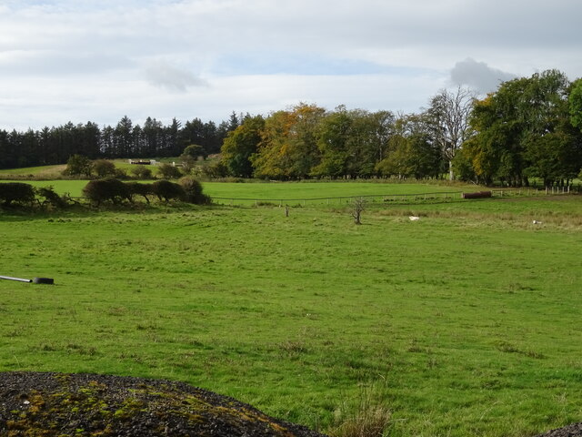
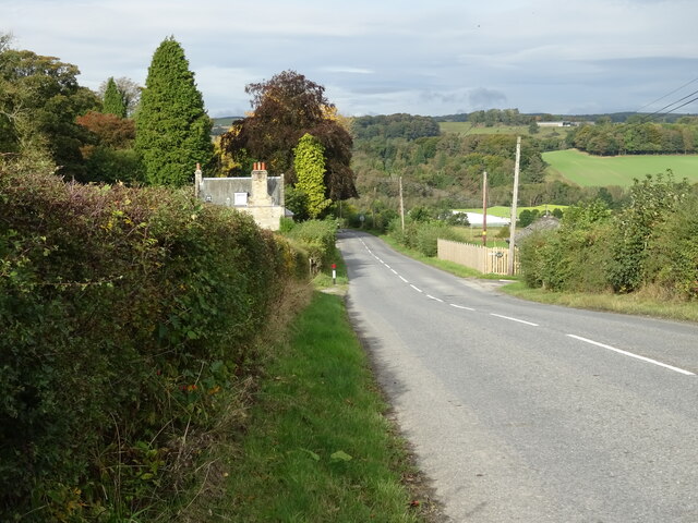
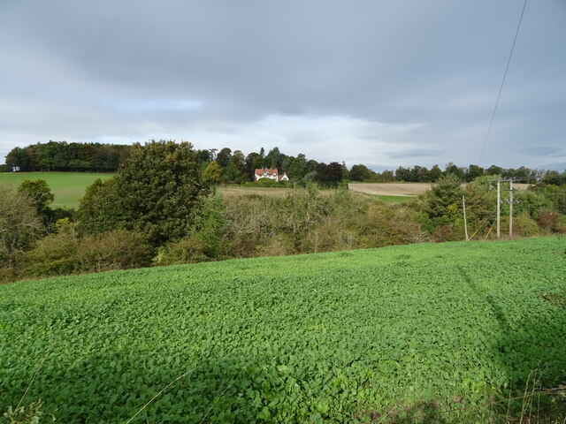
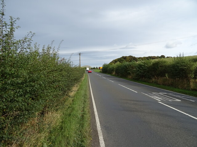
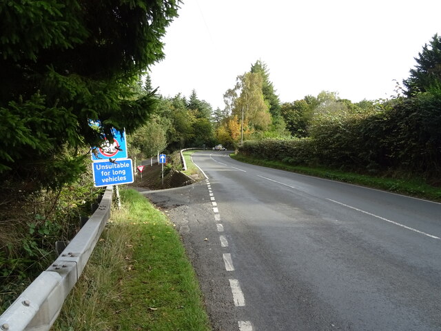
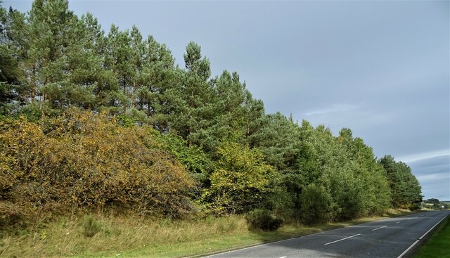
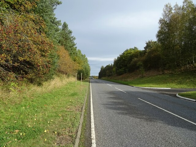
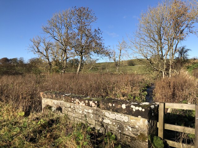
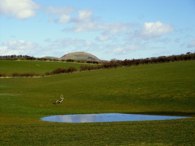
The hill is situated near the town of Hawick and overlooks the valley of the River Teviot. Its distinctive shape and prominent position make it a recognizable landmark for locals and visitors alike. The hill is covered with lush green grass and scattered with a variety of plant species, adding to its natural beauty.

Hornshole Hill holds significant historical importance in the region. It is renowned for being the site of the Battle of Hornshole, which took place in 1514. This battle was fought between the townsmen of Hawick and the English army, resulting in a decisive victory for the Hawick locals. To commemorate this event, a monument was erected on the hill in 1914, marking the 400th anniversary of the battle.

The hill attracts outdoor enthusiasts and nature lovers who enjoy walking, hiking, and exploring the surrounding countryside. The panoramic views from the summit of Hornshole Hill are breathtaking, offering a stunning vista of the rolling hills, farmland, and the meandering River Teviot.

Overall, Hornshole Hill in Roxburghshire is a historically significant and visually stunning hill, offering visitors a chance to immerse themselves in Scotland's rich history and enjoy the natural beauty of the region.

If you have any feedback on the listing, please let us know in the comments section below.

Hornshole Hill Images

Images are sourced within 2km of 55.444707/-2.7509802 or Grid Reference NT5217. Thanks to Geograph Open Source API. All images are credited.

House in Cauldmill
House in Cauldmill
George VI postbox, Cauldmill Postbox No. TD9 54.

See <a href="https://www.geograph.org.uk/photo/7016978">NT5315 : Close up, George VI postbox, Cauldmill</a> for close up.
See <a href="https://www.geograph.org.uk/photo/7016980">NT5315 : Minor road, Cauldmill</a> for context.
George VI postbox, Cauldmill
Postbox No. TD9 54. See NT5315 : Close up, George VI postbox, Cauldmill for close up. See NT5315 : Minor road, Cauldmill for context.
Close up, George VI postbox, Cauldmill Postbox No. TD9 54.

See <a href="https://www.geograph.org.uk/photo/7016977">NT5315 : George VI postbox, Cauldmill</a> for wider view.
Close up, George VI postbox, Cauldmill
Postbox No. TD9 54. See NT5315 : George VI postbox, Cauldmill for wider view.
Minor road, Cauldmill Towards Kinninghall.
Showing position of Postbox No. TD9 54.

See <a href="https://www.geograph.org.uk/photo/7016977">NT5315 : George VI postbox, Cauldmill</a> for postbox.
Minor road, Cauldmill
Towards Kinninghall. Showing position of Postbox No. TD9 54. See NT5315 : George VI postbox, Cauldmill for postbox.
House on the A6088
House on the A6088
Grazing, Dodlands
Grazing, Dodlands
A6088, Dodlands Towards Hawick.
A6088, Dodlands
Towards Hawick.
Crop field beside the River Teviot Narrow strip of land beside the A698.
Crop field beside the River Teviot
Narrow strip of land beside the A698.
A698 towards Denholm
Lodge on the A698 near 	Hornshole Bridge
Lodge on the A698 near Hornshole Bridge
Postbox on the A698 near Hornshole Bridge Postbox No. TD9 36.

See <a href="https://www.geograph.org.uk/photo/7017000">NT5316 : A698 near Hornshole Bridge</a> for context.
Postbox on the A698 near Hornshole Bridge
Postbox No. TD9 36. See NT5316 : A698 near Hornshole Bridge for context.
A698 near Hornshole Bridge Towards Hawick.
Showing position of Postbox No. TD9 36.

See <a href="https://www.geograph.org.uk/photo/7016998">NT5316 : Postbox on the A698 near Hornshole Bridge</a> for postbox.
A698 near Hornshole Bridge
Towards Hawick. Showing position of Postbox No. TD9 36. See NT5316 : Postbox on the A698 near Hornshole Bridge for postbox.
A698 towards Denholm At the junction of the road to Hornshole Bridge.
A698 towards Denholm
At the junction of the road to Hornshole Bridge.
Woodland beside the A698, Old Ashybank
A698, Old Ashybank Towards Denholm.
A698, Old Ashybank
Towards Denholm.
A7 north of Hawick
A7 north of Hawick
Boonraw Burn A road bridge over the burn.
Boonraw Burn
A road bridge over the burn.
Farmland at Hornshole The Minto Hills can be seen in the background
Farmland at Hornshole
The Minto Hills can be seen in the background
Show me another place!

Hornshole Hill is located at Grid Ref: NT5217 (Lat: 55.444707, Lng: -2.7509802)

Unitary Authority: The Scottish Borders

Police Authority: The Lothians and Scottish Borders

What 3 Words

///edge.refutes.situates. Near Hawick, Scottish Borders

Related Wikis

Appletreehall

Appletreehall is a village in the Scottish Borders area of Scotland, 2 miles north-east of Hawick, in the historic county of Roxburghshire. Nearby are...

Burnfoot, Hawick

Burnfoot (Scottish Gaelic: Bun na h-Aibhne, Scots: Burnfit) is a housing estate just east of the A7, in the northern part of Hawick, by the Boonraw Burn...

Mansfield Park, Hawick

Mansfield Park is a rugby union ground in Hawick, Scotland, with a capacity of approximately 5,000. It is the home of Hawick Rugby Football Club, who currently...

Cavers, Scottish Borders

Cavers is a parish in the Scottish Borders area of Scotland, in the former county of Roxburghshire, south and east of Hawick. The largest village in the...

Cavers Castle

Cavers Castle, also known as Cavers House, is a ruined tower house located at Cavers, Scottish Borders, Scotland. Cavers Castle was a much extended tower...

Hawick railway station

Hawick railway station served the town of Hawick, Scottish Borders, Scotland from 1849 to 1969 on the Waverley Route. == History == The first station opened...

Hawick Library

Hawick Library is housed in the building built in 1904 in Hawick and it was one of the many libraries funded by Andrew Carnegie. The library is a Category...

Stirches

Stirches is an area of Hawick in the Scottish Borders, mostly consisting of ex-council housing built in 1973. It is often considered to be one of the more...

Nearby Amenities

Located within 500m of 55.444707,-2.7509802
Natural: peak
Lat/Long: 55.4483015/-2.7465597
Coille
Place: isolated_dwelling
Lat/Long: 55.441085/-2.7507352
Courthill
Place: hamlet
Lat/Long: 55.4454249/-2.7555567
Noexit: yes
Lat/Long: 55.4452381/-2.7557756
Power: pole
Lat/Long: 55.4474081/-2.744757
Power: pole
Lat/Long: 55.4472703/-2.7458233
Power: pole
Lat/Long: 55.4470724/-2.7473556
Power: pole
Lat/Long: 55.4468889/-2.7487756
Power: pole
Lat/Long: 55.4477018/-2.7506048
Power: pole
Lat/Long: 55.4481001/-2.7515014
Power: pole
Lat/Long: 55.4484349/-2.7522547
Power: pole
Lat/Long: 55.4484219/-2.7535146
Power: pole
Lat/Long: 55.448419/-2.7546598
Power: pole
Lat/Long: 55.4472909/-2.7496801
Power: pole
Lat/Long: 55.4403833/-2.7516185
Power: pole
Lat/Long: 55.4402115/-2.7509644
Power: pole
Lat/Long: 55.4403198/-2.7493915
Power: pole
Lat/Long: 55.4408341/-2.7490689
Power: pole
Lat/Long: 55.4415657/-2.7486102
Power: pole
Lat/Long: 55.4420796/-2.7482971
Power: pole
Lat/Long: 55.4410286/-2.7495137
Power: pole
Lat/Long: 55.4415368/-2.7505343
The data included in this document is from www.openstreetmap.org. The data is made available under ODbL.

Have you been to Hornshole Hill?

Leave your review of Hornshole Hill below (or comments, questions and feedback).