Clarilaw Hill

Hill, Mountain in Roxburghshire

Scotland

Clarilaw Hill

Crop field beside the River Teviot Narrow strip of land beside the A698.
Crop field beside the River Teviot Credit: JThomas

Clarilaw Hill is a prominent hill located in the county of Roxburghshire in the Scottish Borders region of Scotland. Rising to a height of approximately 332 meters (1,089 feet), it is classified as a hill rather than a mountain due to its relatively modest elevation. Despite its moderate height, Clarilaw Hill offers stunning panoramic views of the surrounding countryside.

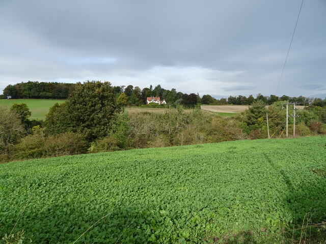
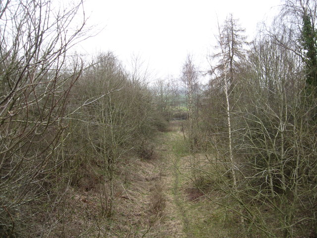
Situated in the southern part of Roxburghshire, Clarilaw Hill is part of a range known as the Southern Uplands, which spans across southern Scotland. The hill is characterized by its gently sloping, grassy terrain, making it a popular destination for walkers and hikers of all abilities.

The summit of Clarilaw Hill provides breathtaking vistas of the rolling countryside, with far-reaching views of the nearby Teviot Valley and the surrounding Cheviot Hills to the south. On a clear day, it is possible to see as far as the Northumberland National Park in England.

The area surrounding Clarilaw Hill is relatively rural, with scattered farms and fields stretching out beneath the hill. The hill itself is largely unwooded, allowing for unobstructed views in all directions. The peaceful and tranquil atmosphere of the hill makes it a perfect spot for nature enthusiasts and those seeking solitude.

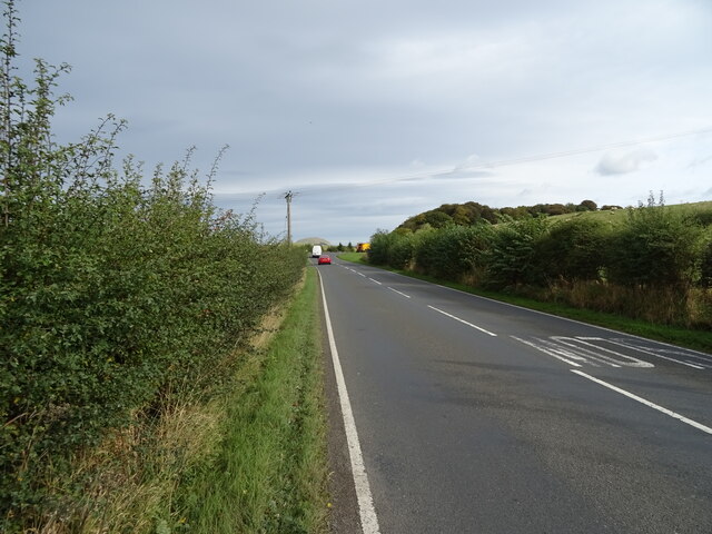
Access to Clarilaw Hill is relatively easy, with several footpaths leading to the summit. Visitors can enjoy a pleasant walk through the surrounding countryside, taking in the natural beauty of the area, before reaching the summit and being rewarded with stunning views.

If you have any feedback on the listing, please let us know in the comments section below.

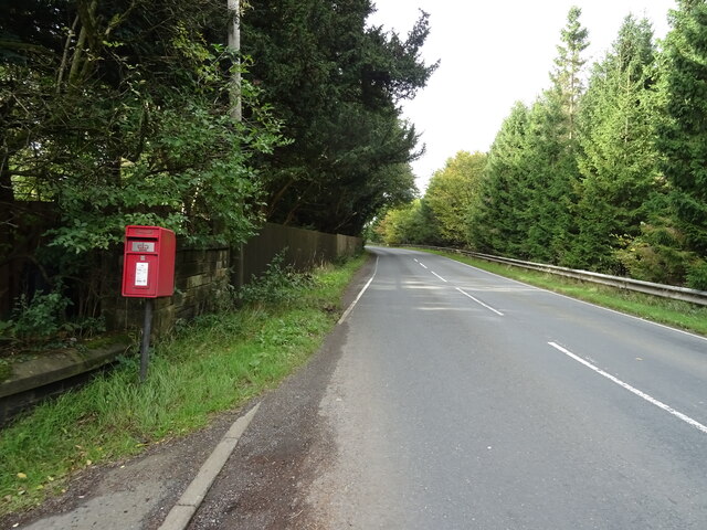
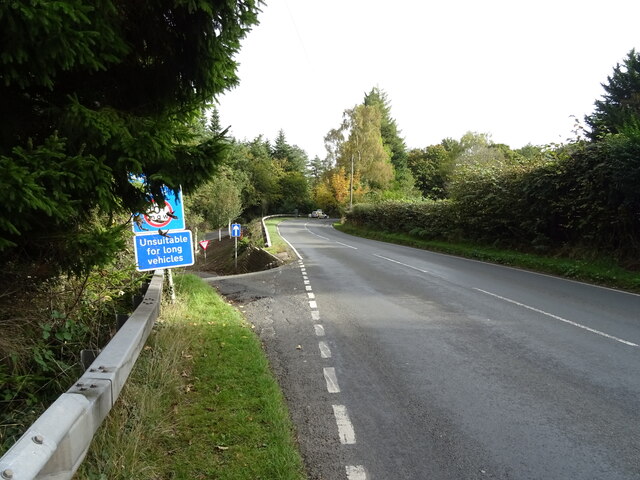
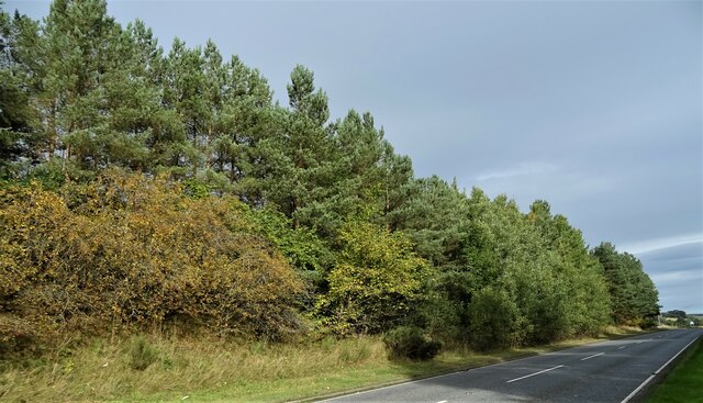
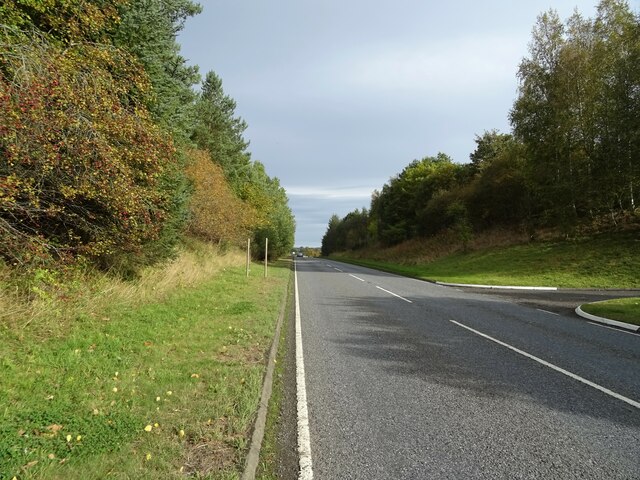
Clarilaw Hill Images

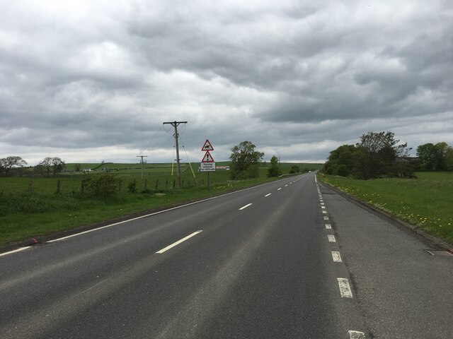
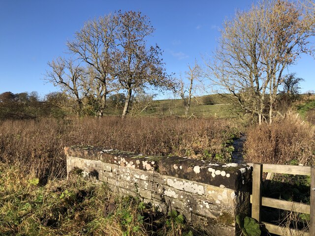
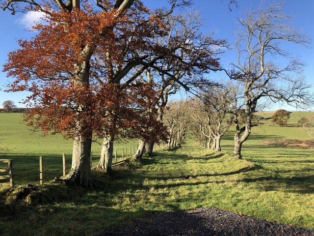
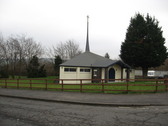
Images are sourced within 2km of 55.451366/-2.7552491 or Grid Reference NT5217. Thanks to Geograph Open Source API. All images are credited.

Crop field beside the River Teviot Narrow strip of land beside the A698.
Crop field beside the River Teviot
Narrow strip of land beside the A698.
A698 towards Denholm
Lodge on the A698 near 	Hornshole Bridge
Lodge on the A698 near Hornshole Bridge
Postbox on the A698 near Hornshole Bridge Postbox No. TD9 36.

See <a href="https://www.geograph.org.uk/photo/7017000">NT5316 : A698 near Hornshole Bridge</a> for context.
Postbox on the A698 near Hornshole Bridge
Postbox No. TD9 36. See NT5316 : A698 near Hornshole Bridge for context.
A698 near Hornshole Bridge Towards Hawick.
Showing position of Postbox No. TD9 36.

See <a href="https://www.geograph.org.uk/photo/7016998">NT5316 : Postbox on the A698 near Hornshole Bridge</a> for postbox.
A698 near Hornshole Bridge
Towards Hawick. Showing position of Postbox No. TD9 36. See NT5316 : Postbox on the A698 near Hornshole Bridge for postbox.
A698 towards Denholm At the junction of the road to Hornshole Bridge.
A698 towards Denholm
At the junction of the road to Hornshole Bridge.
Woodland beside the A698, Old Ashybank
A698, Old Ashybank Towards Denholm.
A698, Old Ashybank
Towards Denholm.
A7 north of Hawick
A7 north of Hawick
Boonraw Burn A road bridge over the burn.
Boonraw Burn
A road bridge over the burn.
Old track, Horsleyhill With beech trees remaining from hedges
Old track, Horsleyhill
With beech trees remaining from hedges
The Abundant Life Church in Burnfoot, Hawick The lovely building stand in its own ground off Fairhurst Drive.
The Abundant Life Church in Burnfoot, Hawick
The lovely building stand in its own ground off Fairhurst Drive.
Site of an old rail track, now a walkway Part of the old Hawick to Galashiels section at the foot of Hornhole Hill.
Site of an old rail track, now a walkway
Part of the old Hawick to Galashiels section at the foot of Hornhole Hill.
The Hornshole Memorial Dedicated to a skirmish in 1514 when a group of Hawick callants (young men) came upon a group of Englishmen whom they attacked, dispersed and rode home to Hawick waving the English flag to the delight of the local people. That incident is remembered every June during the Hawick Common Riding celebration.
The Hornshole Memorial
Dedicated to a skirmish in 1514 when a group of Hawick callants (young men) came upon a group of Englishmen whom they attacked, dispersed and rode home to Hawick waving the English flag to the delight of the local people. That incident is remembered every June during the Hawick Common Riding celebration.
The plate on the Hornshole Memorial The plate says it all. The memorial is situated just off the Hawick to Denholm road about one and half miles east of Hawick in Roxburghshire.
The plate on the Hornshole Memorial
The plate says it all. The memorial is situated just off the Hawick to Denholm road about one and half miles east of Hawick in Roxburghshire.
Road heading north between Hassendeanburn and Glenteviot In Roxburghshire.
Road heading north between Hassendeanburn and Glenteviot
In Roxburghshire.
River monitoring station, Hawick One of a network of stations maintained by the Scottish Environmental Protection Agency (SEPA) to record real-time river levels for flood warning and long-term assessment of water resources. The SEPA web page at <span class="nowrap"><a title="http://www.sepa.org.uk/water/river_levels/river_level_data.aspx" rel="nofollow ugc noopener" href="http://www.sepa.org.uk/water/river_levels/river_level_data.aspx">Link</a><img style="margin-left:2px;" alt="External link" title="External link - shift click to open in new window" src="https://s1.geograph.org.uk/img/external.png" width="10" height="10"/></span> gives up-to-date data for the whole of Scotland river by river.
River monitoring station, Hawick
One of a network of stations maintained by the Scottish Environmental Protection Agency (SEPA) to record real-time river levels for flood warning and long-term assessment of water resources. The SEPA web page at LinkExternal link gives up-to-date data for the whole of Scotland river by river.
Signpost, Borders Abbeys Way The sign indicates the Hawick Riding Route which joins the Borders Abbeys Way here to turn right towards Hawick. The Way continues left to Denholm and Jedburgh.
Signpost, Borders Abbeys Way
The sign indicates the Hawick Riding Route which joins the Borders Abbeys Way here to turn right towards Hawick. The Way continues left to Denholm and Jedburgh.
Show me another place!

Clarilaw Hill is located at Grid Ref: NT5217 (Lat: 55.451366, Lng: -2.7552491)

Unitary Authority: The Scottish Borders

Police Authority: The Lothians and Scottish Borders

What 3 Words

///ooze.expel.woodstove. Near Hawick, Scottish Borders

Related Wikis

Appletreehall

Appletreehall is a village in the Scottish Borders area of Scotland, 2 miles (3 kilometres) north-east of Hawick, in the historic county of Roxburghshire...

Burnfoot, Hawick

Burnfoot (Scottish Gaelic: Bun na h-Aibhne, Scots: Burnfit) is a housing estate just east of the A7, in the northern part of Hawick, by the Boonraw Burn...

Mansfield Park, Hawick

Mansfield Park is a rugby union ground in Hawick, Scotland, with a capacity of approximately 5,000. It is the home of Hawick Rugby Football Club, who currently...

Cavers, Scottish Borders

Cavers is a parish in the Scottish Borders area of Scotland, in the former county of Roxburghshire, south and east of Hawick. The largest village in the...

Nearby Amenities

Located within 500m of 55.451366,-2.7552491
Clarilaw Hill
Natural: peak
Lat/Long: 55.4520974/-2.7544654
Power: pole
Lat/Long: 55.4481001/-2.7515014
Power: pole
Lat/Long: 55.4484349/-2.7522547
Power: pole
Lat/Long: 55.4484219/-2.7535146
Power: pole
Lat/Long: 55.448419/-2.7546598
Power: pole
Lat/Long: 55.4483988/-2.7563116
Power: pole
Lat/Long: 55.4482645/-2.7575285
Power: pole
Lat/Long: 55.4480848/-2.7591563
Power: pole
Lat/Long: 55.4495984/-2.7484625
Power: pole
Lat/Long: 55.4494381/-2.7498857
Power: pole
Lat/Long: 55.4492287/-2.7517439
Power: pole
Lat/Long: 55.4490216/-2.7535831
Power: pole
Lat/Long: 55.448918/-2.7545027
Power: pole
Lat/Long: 55.4488175/-2.7553953
Power: pole
Lat/Long: 55.4487113/-2.7563377
Power: pole
Lat/Long: 55.4533672/-2.7592633
Power: pole
Lat/Long: 55.4527701/-2.7601218
Power: pole
Lat/Long: 55.4521648/-2.7610391
Power: pole
Lat/Long: 55.4509768/-2.7628416
Power: pole
Lat/Long: 55.4485805/-2.7574988
Power: pole
Lat/Long: 55.4484371/-2.7587718
Power: pole
Lat/Long: 55.4482835/-2.7601356
Generator Method: photovoltaic
Generator Output Electricity: yes
Generator Source: solar
Generator Type: solar_photovoltaic_panel
Power: generator
Lat/Long: 55.4498664/-2.7621013
Power: pole
Lat/Long: 55.4539596/-2.7583687
Power: pole
Lat/Long: 55.4545384/-2.7574741
Power: pole
Lat/Long: 55.455138/-2.756834
Power: pole
Lat/Long: 55.4557514/-2.7561799
The data included in this document is from www.openstreetmap.org. The data is made available under ODbL.

Have you been to Clarilaw Hill?

Leave your review of Clarilaw Hill below (or comments, questions and feedback).