Crib Law
Hill, Mountain in Berwickshire
Scotland
Crib Law
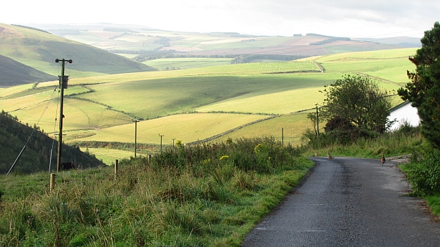
Crib Law is a prominent hill located in the Scottish Borders region of Berwickshire. It is part of the Lammermuir Hills range and stands at an elevation of 523 meters (1,716 feet) above sea level. The hill is a popular destination for hikers and outdoor enthusiasts due to its stunning views of the surrounding countryside and its relatively easy accessibility.
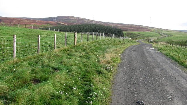
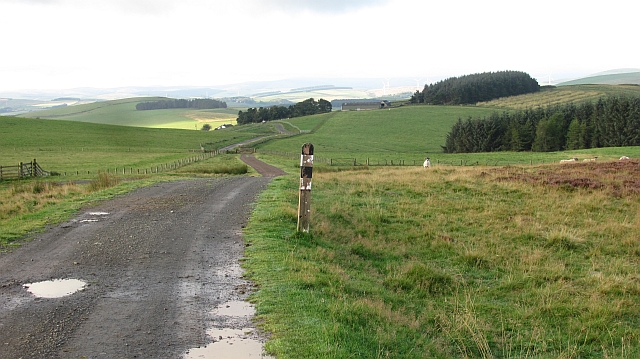
Crib Law is known for its distinctive shape, with a long, gently sloping ridge leading up to a steep summit. The terrain is mostly grassy with some rocky outcrops, making it a moderate to challenging hike depending on the route taken. The hill is also home to a variety of wildlife, including birds of prey such as buzzards and kestrels.
Visitors to Crib Law can enjoy a range of outdoor activities, such as hiking, birdwatching, and photography. The hill is easily accessible by car, with parking available at the base of the hill. Overall, Crib Law offers a rewarding and memorable outdoor experience for those looking to explore the natural beauty of Berwickshire.
If you have any feedback on the listing, please let us know in the comments section below.
Crib Law Images
Images are sourced within 2km of 55.829207/-2.7595234 or Grid Reference NT5259. Thanks to Geograph Open Source API. All images are credited.


![Hog Sike, Kelphope Forming a gully between Hog Hill and Tollis Hill; for a view of the sike from above see <a href="https://www.geograph.org.uk/photo/7212842">NT5158 : Hog Sike, Kelphope</a>. The trees across the Kelphope Burn are the northernmost of a row of eighteen trees [plus three gaps] that follow the burn in a straight line southwest for 380 m.](https://s2.geograph.org.uk/geophotos/07/21/27/7212742_e081fea7.jpg)

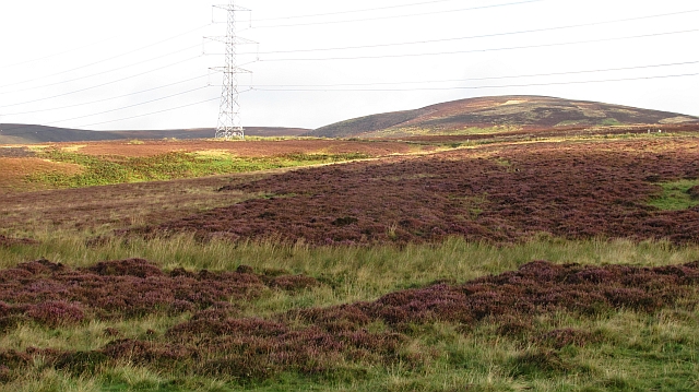
![Pylon on Windy Law Part of a long-distance cross-country line from Torness Power Station [on the East Coast <a href="https://www.geograph.org.uk/photo/3446167">NT7475 : Torness Power Station</a>, <a href="https://www.geograph.org.uk/photo/1338166">NT7373 : Emergence of one of the Torness powerlines</a>, to the left] to the west [Edinburgh and East Lothian, to the right].](https://s2.geograph.org.uk/geophotos/07/21/28/7212810_767b62b7.jpg)
Crib Law is located at Grid Ref: NT5259 (Lat: 55.829207, Lng: -2.7595234)
Unitary Authority: The Scottish Borders
Police Authority: The Lothians and Scottish Borders
What 3 Words
///broth.cartoons.hike. Near Pencaitland, East Lothian
Nearby Locations
Related Wikis

Lammermuir Hills
The Lammermuirs are a range of hills in southern Scotland, forming a natural boundary between East Lothian and the Borders. The name "Lammermuir" comes...

Hopes Reservoir
Hopes Reservoir is a small reservoir in East Lothian, Scotland, in the Lammermuir Hills. It is located in the parish of Yester, 6 km (3.7 mi) south of...

Carfrae Bastle
Carfrae Bastle is a small ruined tower house about 5 miles (8.0 km) north of Lauder, Scottish Borders, Scotland, near Hillhouse == History == Carfrae Bastle...

Oxton railway station
Oxton railway station served the village of Oxton, Scottish Borders, Scotland, from 1901 to 1958 on the Lauder Light Railway. == History == The station...
Nearby Amenities
Located within 500m of 55.829207,-2.7595234Have you been to Crib Law?
Leave your review of Crib Law below (or comments, questions and feedback).