Castle Hill
Hill, Mountain in Angus
Scotland
Castle Hill
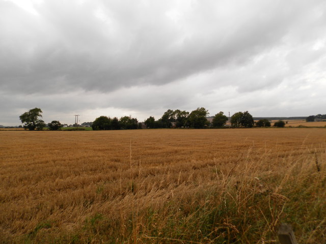
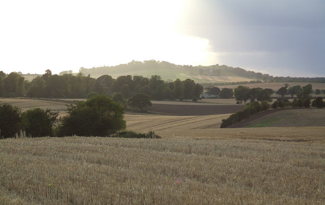
Castle Hill is a prominent hill located in the county of Angus in Scotland. Rising to an elevation of approximately 225 meters (738 feet), it forms an impressive landmark in the landscape of the region. Situated near the town of Dundee, Castle Hill is part of the Sidlaw Hills, a range of hills stretching from the Firth of Tay to the Firth of Forth.
The hill takes its name from the remains of a historic castle that once stood on its summit. Believed to have been built in the 12th century, the castle played a significant role in the region's history, witnessing battles and political turmoil. Unfortunately, only a few remnants of the castle remain today, including fragments of walls and earthworks.
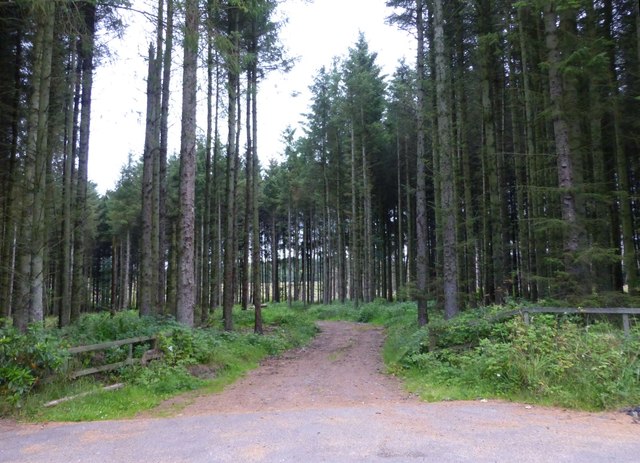
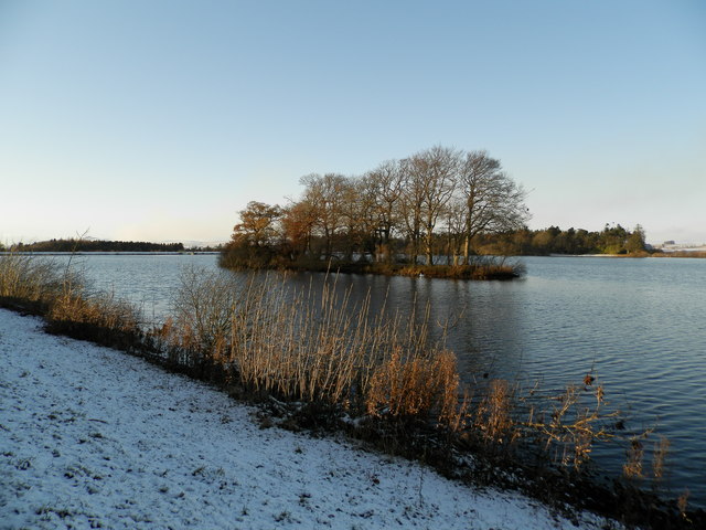
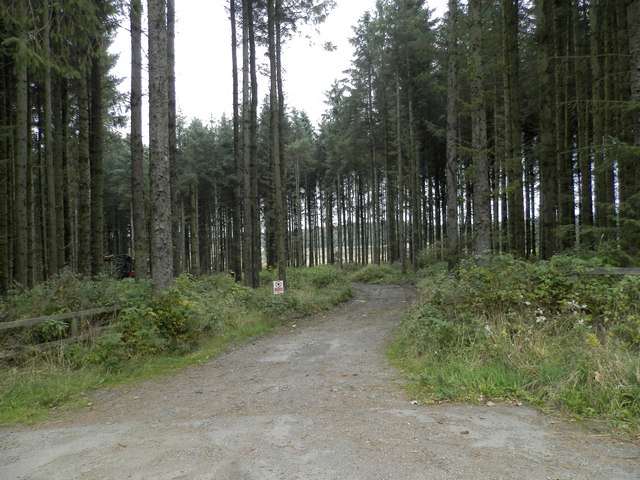
Castle Hill offers breathtaking panoramic views of the surrounding countryside, with vistas extending as far as the Cairngorms National Park and the Grampian Mountains. Its prominent position also makes it a popular spot for outdoor enthusiasts, hikers, and nature lovers. Several walking trails crisscross the hill, providing opportunities to explore its diverse flora and fauna.
The area around Castle Hill is rich in archaeological sites, with evidence of ancient settlements and burial grounds. Excavations have revealed artifacts dating back to the Iron Age, suggesting that the hill has been a place of human activity for thousands of years.
Overall, Castle Hill is a historically and geographically significant landmark in Angus, offering visitors a chance to immerse themselves in the region's past and enjoy the natural beauty of the Scottish countryside.
If you have any feedback on the listing, please let us know in the comments section below.
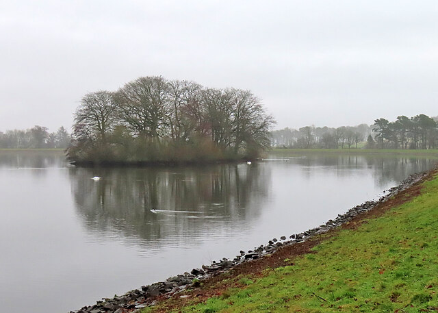
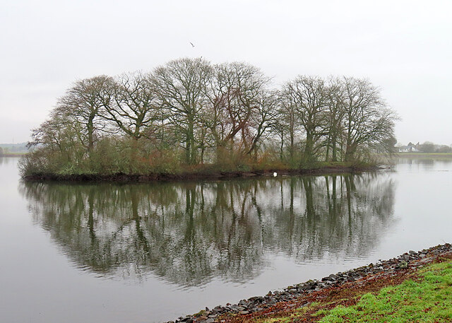
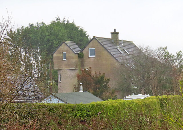
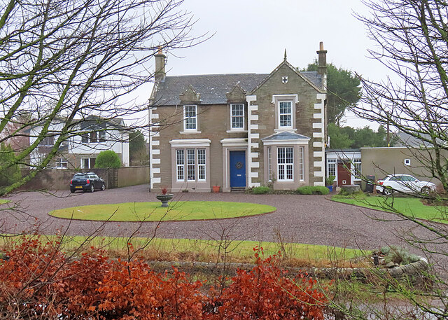
Castle Hill Images
Images are sourced within 2km of 56.517839/-2.7829648 or Grid Reference NO5136. Thanks to Geograph Open Source API. All images are credited.


Castle Hill is located at Grid Ref: NO5136 (Lat: 56.517839, Lng: -2.7829648)
Unitary Authority: Angus
Police Authority: Tayside
What 3 Words
///blip.unzips.croaking. Near Monifieth, Angus
Nearby Locations
Related Wikis

Carlungie and Ardestie earthhouses
Carlungie and Ardestie Earthhouses can be found in farmland north of Monifieth and Carnoustie. They date to the late Iron Age, from the 1st to 2nd centuries...
Downie Hills
The Downie Hills are a small range of hills in Angus, Scotland, approximately 4 kilometres (2.5 mi) to the North of Carnoustie. At their highest point...

Panmure Testimonial
The Panmure Testimonial, otherwise known as the Live and Let Live Memorial, is a monument in Angus, Scotland. It was erected in 1839 to commemorate the...

Camus Cross
The Camus Cross, otherwise known as the Camuston or Camustane Cross, is an Early Medieval Scottish standing stone on the Panmure Estate near Carnoustie...
Camuston
Camuston was a village that once existed in Angus, Scotland until the late 18th/early 19th centuries. No trace of it can be found today, but its former...
Upper Victoria
Upper Victoria is a hamlet in Angus, Scotland. It lies on the A92 road between Arbroath and Dundee and is the location of the junction of the A92 and the...

Craigton, Angus
Craigton is a village in Angus, Scotland. It lies to the north of the Downie Hills, approximately three miles north of Carnoustie. Immediately to the west...
Woodhill, Angus
Woodhill is a settlement in Angus, Scotland. It lies at a central point between Carnoustie and Monifieth on the east on an unclassified road linking the...
Related Videos
Cloudy Early Summer Road Trip Drive B961 Road To Parish Church Monikie Angus Scotland
Tour Scotland travel video of a cloudy early Summer road trip drive, with Scottish bagpipes and drums music, on the B961 cross ...
Nearby Amenities
Located within 500m of 56.517839,-2.7829648Have you been to Castle Hill?
Leave your review of Castle Hill below (or comments, questions and feedback).