Willow Hill
Hill, Mountain in Cheshire
England
Willow Hill
Willow Hill is a prominent geographical feature located in the county of Cheshire, in the northwest of England. It is classified as a hill rather than a mountain, as its elevation does not meet the criteria for the latter designation. Nevertheless, it stands as one of the highest points in the region, offering stunning panoramic views of the surrounding countryside.
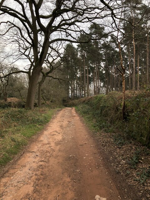
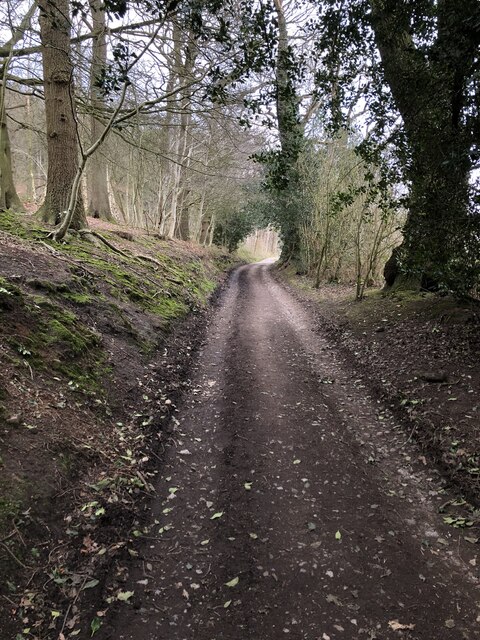
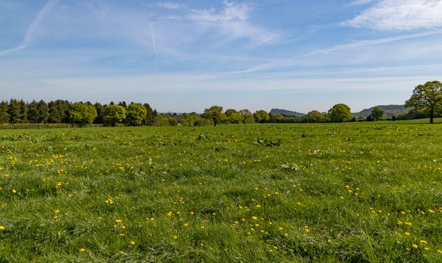
Situated near the village of Willowbrook, the hill is a popular destination for hikers and nature enthusiasts. Its location within an area of outstanding natural beauty ensures a rich variety of flora and fauna, making it a haven for wildlife. The hill is characterized by rolling green slopes, interspersed with clusters of deciduous trees, including willows, from which it derives its name.
At its summit, Willow Hill reaches an elevation of approximately 300 meters (984 feet) above sea level. This height, although modest in comparison to nearby mountain ranges, is sufficient to provide breathtaking vistas of the Cheshire Plain, stretching out towards the horizon. On a clear day, visitors can spot landmarks such as the spires of nearby churches and the distant outline of the Welsh mountains.
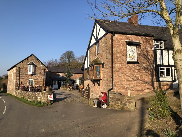
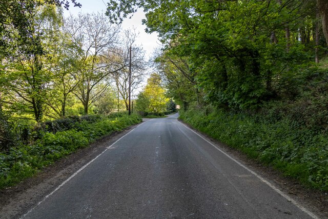
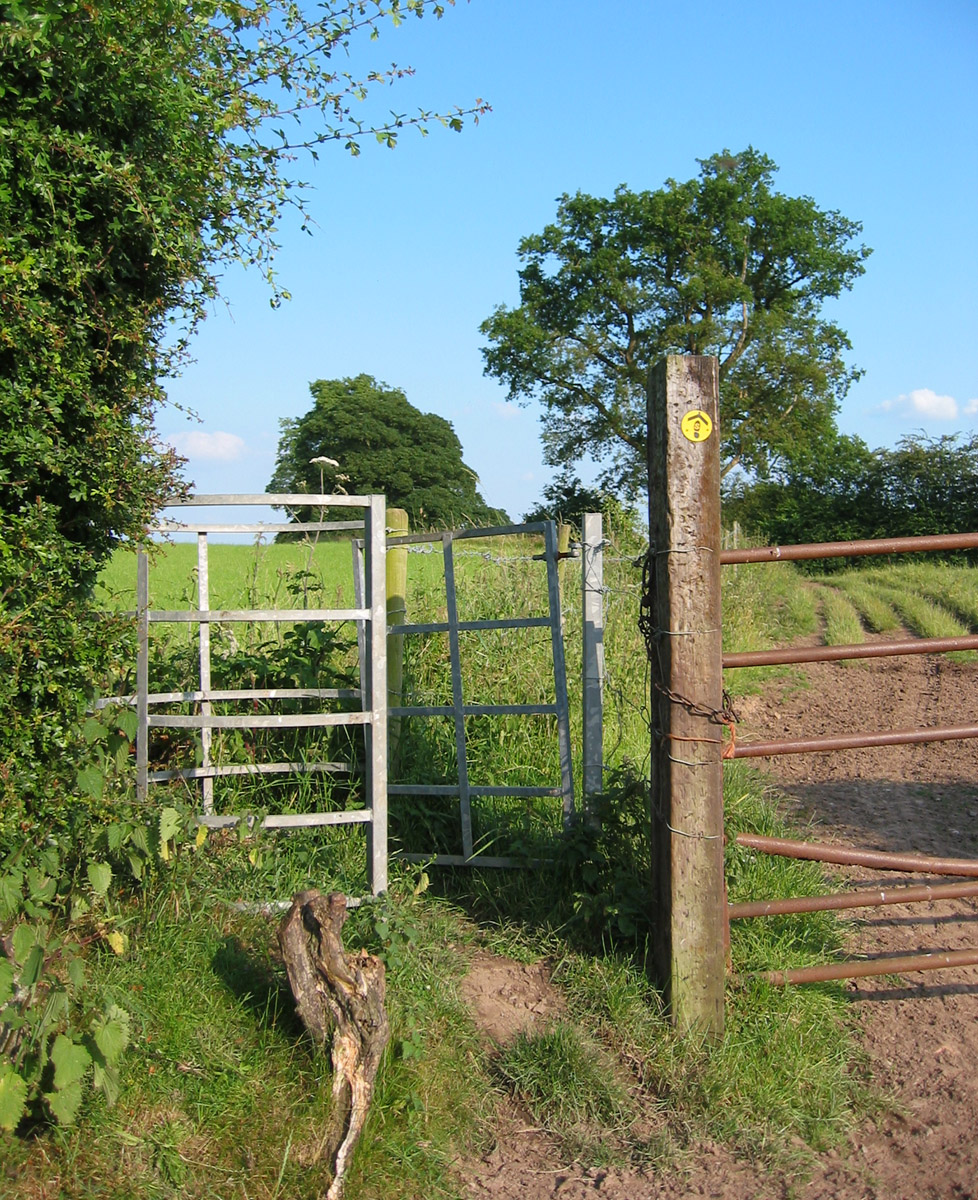
Access to Willow Hill is facilitated by a network of footpaths and trails, allowing visitors to explore its slopes and take in the natural beauty at their own pace. The hill also boasts a small car park at its base, ensuring easy access for those with limited mobility.
In conclusion, Willow Hill is a picturesque and accessible hill in Cheshire, offering breathtaking views and a tranquil natural environment for visitors to enjoy.
If you have any feedback on the listing, please let us know in the comments section below.
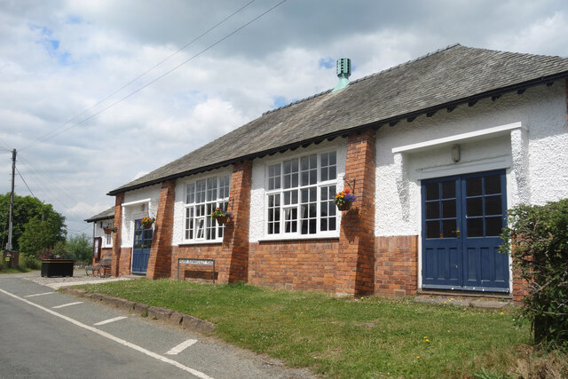
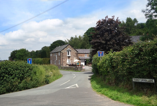
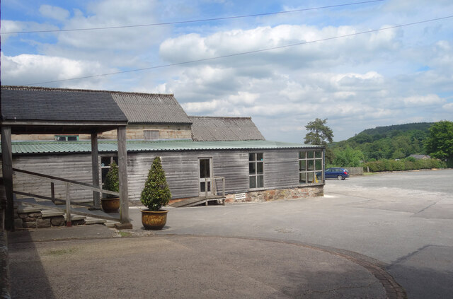
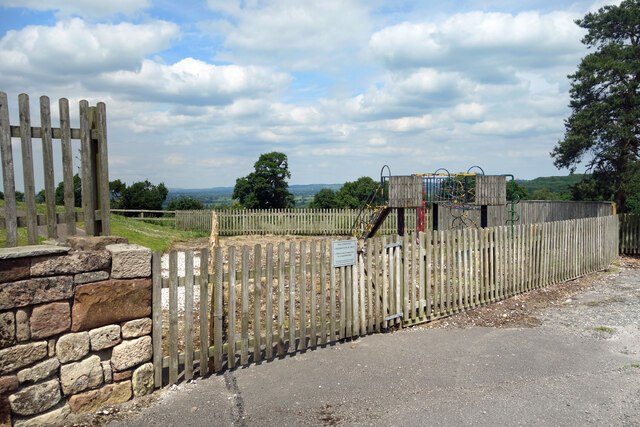
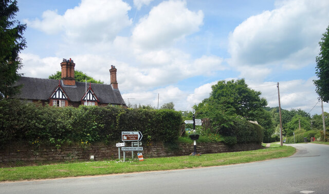
Willow Hill Images
Images are sourced within 2km of 53.103036/-2.7202069 or Grid Reference SJ5156. Thanks to Geograph Open Source API. All images are credited.


Willow Hill is located at Grid Ref: SJ5156 (Lat: 53.103036, Lng: -2.7202069)
Unitary Authority: Cheshire West and Chester
Police Authority: Cheshire
What 3 Words
///dissolves.pictured.redeemed. Near Harthill, Cheshire
Nearby Locations
Related Wikis
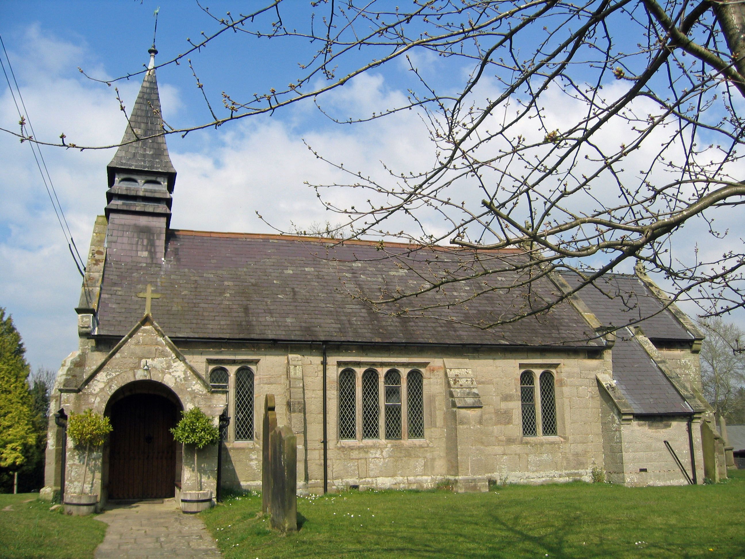
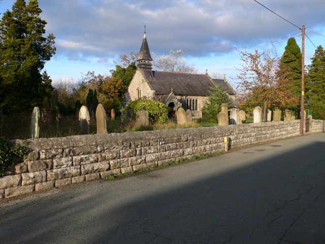
St John's Church, Burwardsley
St John's Church is in School Lane, Burwardsley, Cheshire, England. It is recorded in the National Heritage List for England as a designated Grade II listed...
Burwardsley
Burwardsley is a village and civil parish the unitary authority of Cheshire West and Chester and the ceremonial county of Cheshire, England. The parish...

Peckforton Hills
The Peckforton Hills are a sandstone ridge running broadly northeast–southwest in the west of the English county of Cheshire. They form a significant part...
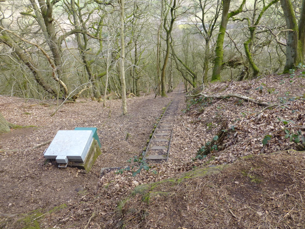
Bulkeley Hill Narrow Gauge Railway
The Bulkeley Hill Narrow Gauge Railway was a 350 yards (320 m) long 2 ft (610 mm) gauge rope-hauled incline on the Bulkeley Hill near Bulkeley in Cheshire...

Bickerton Hill
Bickerton Hill refers to two low red sandstone hills that form the southern end of the Mid Cheshire Ridge in Cheshire, north-west England. The high point...
Bickerton, Cheshire
Bickerton is a village and civil parish in the unitary authority of Cheshire East and the ceremonial county of Cheshire, England, about 8 miles (13 km...
Sandstone Trail
The Sandstone Trail is a 55-kilometre (34 mi) long-distance walkers' path, following sandstone ridges running north–south from Frodsham in central Cheshire...

Peckforton
Peckforton is a scattered settlement (centred at SJ538564) and civil parish in the unitary authority of Cheshire East and the ceremonial county of Cheshire...
Nearby Amenities
Located within 500m of 53.103036,-2.7202069Have you been to Willow Hill?
Leave your review of Willow Hill below (or comments, questions and feedback).