Butleigh Hill

Hill, Mountain in Somerset Mendip

England

Butleigh Hill

Broad Park Farm Gate This is the entrance to Broad Park Farm. Between Barton St David and Butleigh Glastonbury Tor Can be seen in the background
Broad Park Farm Gate Credit: Glyn Baker

Butleigh Hill is a prominent natural feature located in the county of Somerset, England. Rising to an elevation of around 120 meters (394 feet), it is classified as a hill rather than a mountain due to its relatively modest height. Situated near the village of Butleigh, the hill offers commanding panoramic views of the surrounding countryside.

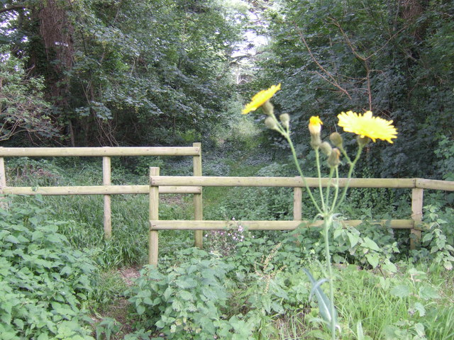
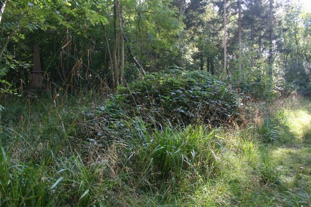
Covered in lush green vegetation, Butleigh Hill is known for its diverse flora and fauna. The slopes of the hill are adorned with a mix of deciduous and coniferous woodland, providing a habitat for various species of plants and animals. The hill's fertile soils also support a rich variety of wildflowers, creating a vibrant and colorful landscape during the blooming seasons.

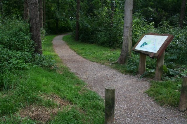
The hill is a popular destination for outdoor enthusiasts and nature lovers. It is a favored spot for hiking, offering a range of trails for all abilities. Visitors can explore the hill's winding paths, admiring the stunning vistas and enjoying the tranquility of the countryside. The summit of Butleigh Hill provides an excellent viewpoint, allowing visitors to see as far as the Mendip Hills to the northeast and Glastonbury Tor to the west.

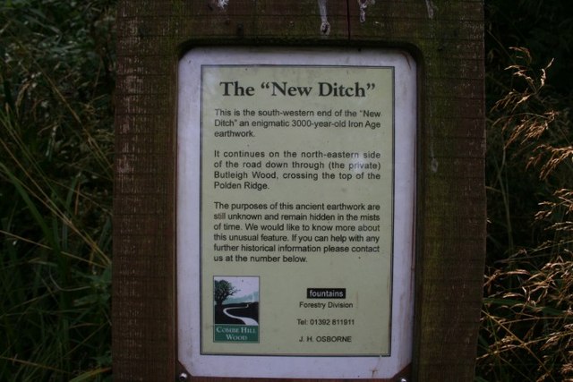
Butleigh Hill has a historical significance as well. It is believed to have been the site of an Iron Age hillfort, with remnants of earthworks and ditches still visible today. These archaeological features offer a glimpse into the area's ancient past and attract those interested in history and heritage.

In conclusion, Butleigh Hill in Somerset is a picturesque and ecologically diverse natural landmark. With its scenic beauty, recreational opportunities, and historical significance, it is a destination that appeals to a wide range of visitors.

If you have any feedback on the listing, please let us know in the comments section below.

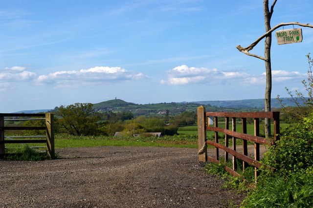
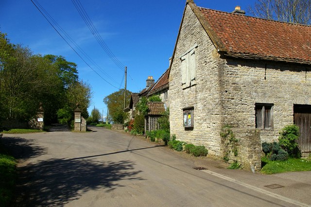
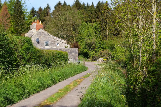
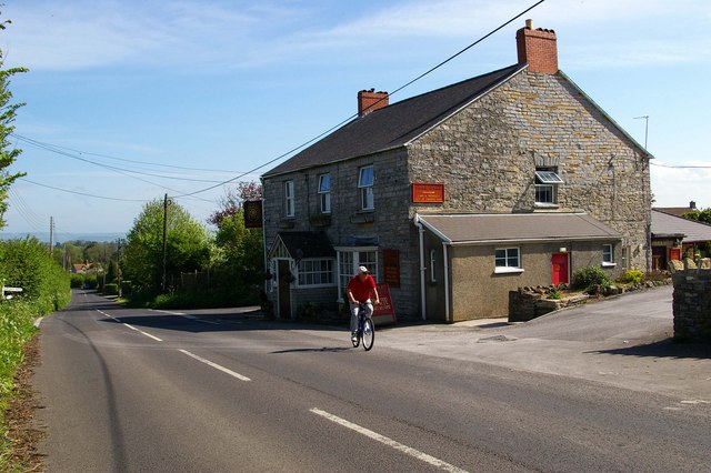
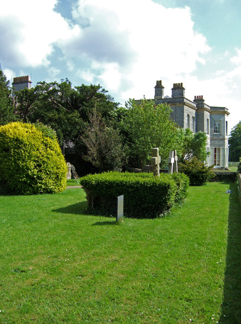
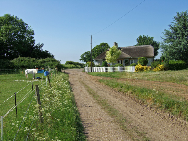
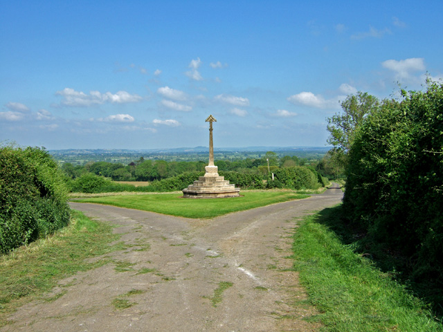
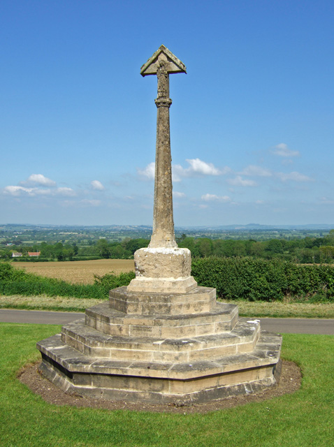
Butleigh Hill Images

Images are sourced within 2km of 51.087597/-2.6884651 or Grid Reference ST5132. Thanks to Geograph Open Source API. All images are credited.

Broad Park Farm Gate This is the entrance to Broad Park Farm. Between Barton St David and Butleigh Glastonbury Tor Can be seen in the background
Broad Park Farm Gate
This is the entrance to Broad Park Farm. Between Barton St David and Butleigh Glastonbury Tor Can be seen in the background
Kingweston Kingweston is on a road to nowhere there is one road in and a foot path out the other side.
Kingweston
Kingweston is on a road to nowhere there is one road in and a foot path out the other side.
Quarry Lane Quarry Lane is a picturesque no through road near Butleigh Cross
Quarry Lane
Quarry Lane is a picturesque no through road near Butleigh Cross
Rose and Portcullis A stone built pub in Butleigh typical of the area. Find out more at <span class="nowrap"><a title="http://www.roseandportcullis.co.uk/" rel="nofollow ugc noopener" href="http://www.roseandportcullis.co.uk/">Link</a><img style="margin-left:2px;" alt="External link" title="External link - shift click to open in new window" src="https://s1.geograph.org.uk/img/external.png" width="10" height="10"/></span>
Rose and Portcullis
A stone built pub in Butleigh typical of the area. Find out more at LinkExternal link
St Leonard’s Church Butleigh. It is believed that this was a sacred site long before Christian times
St Leonard’s Church Butleigh.
It is believed that this was a sacred site long before Christian times
Butleigh Village Green This is the village green in Butleigh, the stone was placed to mark the second millennium A.D (one year early like most of the rest of the world!). The white house in the background was built in 1699, and the building next door to the right is still the village school.
Butleigh Village Green
This is the village green in Butleigh, the stone was placed to mark the second millennium A.D (one year early like most of the rest of the world!). The white house in the background was built in 1699, and the building next door to the right is still the village school.
The Approach to Kingweston Church The view is from the public footpath, which extends in a south easterly direction from the Butleigh road. Kingweston House is also just visible behind the church.
The Approach to Kingweston Church
The view is from the public footpath, which extends in a south easterly direction from the Butleigh road. Kingweston House is also just visible behind the church.
All Saints Church - Kingweston A Victorian church by C. E. Giles in 1855.
All Saints Church - Kingweston
A Victorian church by C. E. Giles in 1855.
Kingweston House Late Georgian house, Grade II listed, built on the site of a Tudor house. Now a part of Millfield School.
Kingweston House
Late Georgian house, Grade II listed, built on the site of a Tudor house. Now a part of Millfield School.
Kingweston House (2)
Lodge Entrance to Kingweston House and Church The view is from the gravel path to Kingweston of the former Lodge of Kingweston House.
Lodge Entrance to Kingweston House and Church
The view is from the gravel path to Kingweston of the former Lodge of Kingweston House.
Butleigh Cross This cross is a modern structure possibly using the original shaft block from the one that was placed in Butleigh in the c.14th century. The cross commemorates the men from Butleigh who died in the Great War, whose names are inscribed on the base.
Butleigh Cross
This cross is a modern structure possibly using the original shaft block from the one that was placed in Butleigh in the c.14th century. The cross commemorates the men from Butleigh who died in the Great War, whose names are inscribed on the base.
Butleigh Cross (2)
Butleigh Cross (2)
Walk through Staddlecombe Plantation Although not a public right of way; this path seems to be open to enjoy a wooded through-route from Kingweston church to Muncombe Hill.
Walk through Staddlecombe Plantation
Although not a public right of way; this path seems to be open to enjoy a wooded through-route from Kingweston church to Muncombe Hill.
A gloomy monument By the side of a footpath through Great Breach Wood is a memorial to the victim of a shooting accident.
A gloomy monument
By the side of a footpath through Great Breach Wood is a memorial to the victim of a shooting accident.
The accidental discharge of a gun..... "By the accidental discharge of a gun...."  The inscription on the pink granite of this memorial in Great Breach wood is not made easy to read by its gloomy location out of the sun. The memorial was erected by the victim's only sister.
The accidental discharge of a gun.....
"By the accidental discharge of a gun...." The inscription on the pink granite of this memorial in Great Breach wood is not made easy to read by its gloomy location out of the sun. The memorial was erected by the victim's only sister.
Woodland walks Combe Hill is private land, but the landlord, together with the Forestry Commission, manage a delightful wood, with information boards and waymarked paths.
Woodland walks
Combe Hill is private land, but the landlord, together with the Forestry Commission, manage a delightful wood, with information boards and waymarked paths.
Who knows about the "New Ditch"? The information board for the "New Ditch": can anybody help?
Who knows about the "New Ditch"?
The information board for the "New Ditch": can anybody help?
Show me another place!

Butleigh Hill is located at Grid Ref: ST5132 (Lat: 51.087597, Lng: -2.6884651)

Administrative County: Somerset

District: Mendip

Police Authority: Avon and Somerset

What 3 Words

///sandwich.stared.routs. Near Street, Somerset

Related Wikis

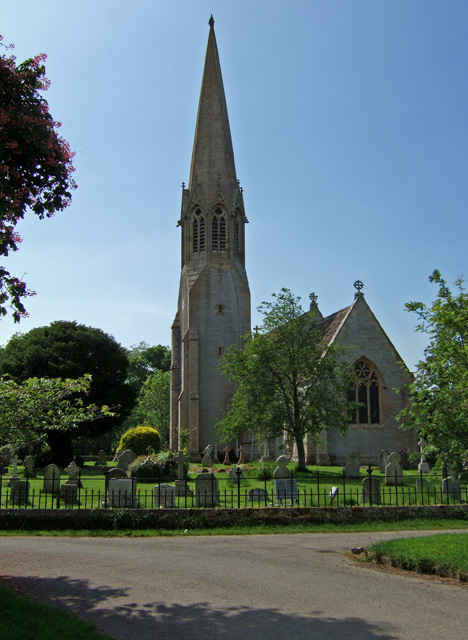
Church of All Saints, Kingweston

The Anglican Church of All Saints in Kingweston, Somerset, England was rebuilt between 1852 and 1855 by Charles Edmund Giles. It is a Grade II* listed...

Kingweston

Kingweston is a village and civil parish in Somerset, England, situated on Combe Hill, 3 miles (4.8 km) north east of Somerton in the South Somerset district...
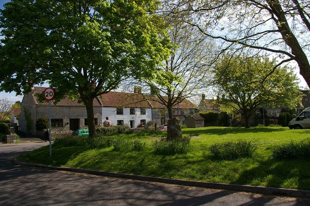
Butleigh

Butleigh is a small village and civil parish, located in Somerset. The nearest village to it is Barton St David, and it is located a short distance from...

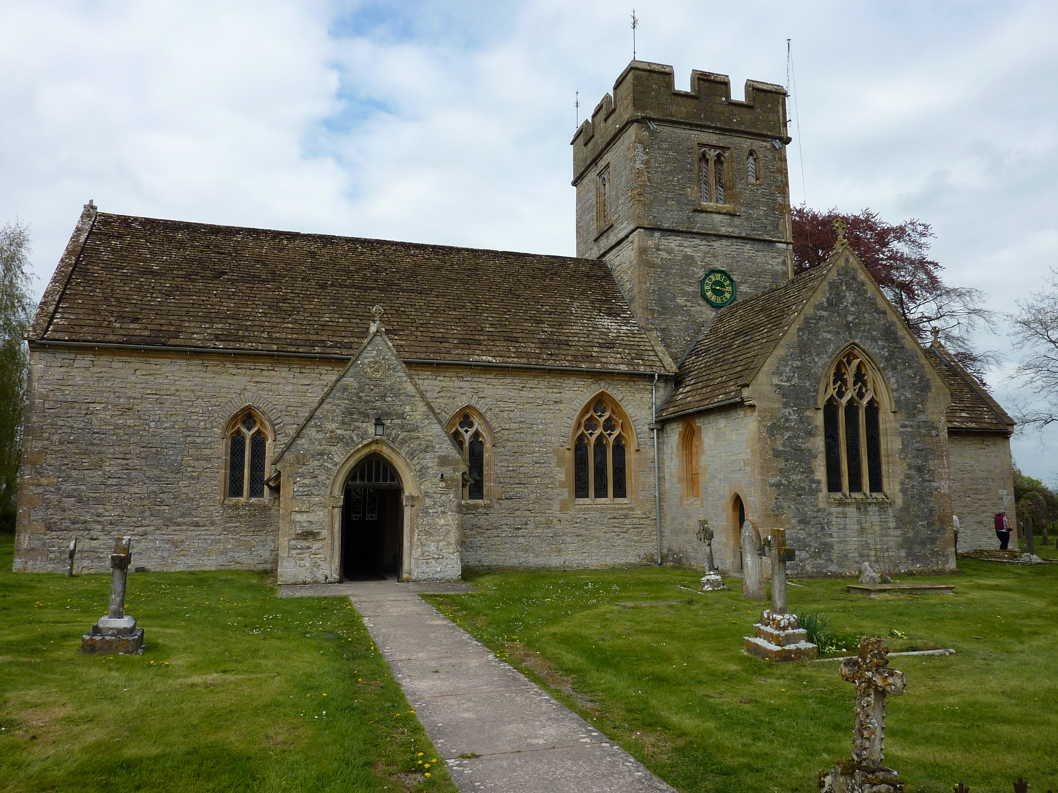
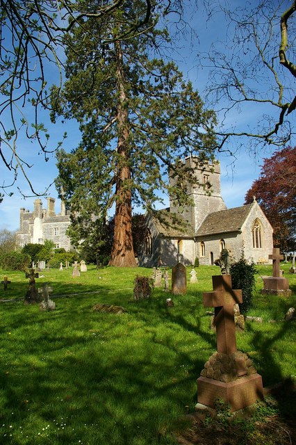
Church of St Leonard, Butleigh

The Anglican Church Of St Leonard in Butleigh, within the English county of Somerset, was built in the 14th century. It is a Grade II* listed building...

New Ditch

New Ditch is a linear earthwork of possible Iron Age or Medieval construction. It partially crosses the Polden Hills in woodlands approximately 1.1 miles...

Great Breach and Copley Woods

Great Breach and Copley Woods (grid reference ST500320) is a 64.8 hectare (160 acre) biological Site of Special Scientific Interest 1 km south of Compton...

Church of St David, Barton St David

The Anglican Church of St David in Barton St David, Somerset, England, was built in the 12th to 15th centuries. It is a Grade II* listed building. ��2...

Barton St David

Barton St David or commonly referred to as Barton is a village and civil parish on the River Brue adjacent to Keinton Mandeville at the foot of Combe Hill...

Nearby Amenities

Located within 500m of 51.087597,-2.6884651
Barrier: stile
Lat/Long: 51.0891282/-2.6857092
War Memorial
Historic: memorial
Lat/Long: 51.0890851/-2.6859404
The data included in this document is from www.openstreetmap.org. The data is made available under ODbL.

Have you been to Butleigh Hill?

Leave your review of Butleigh Hill below (or comments, questions and feedback).