Hill of Bucharn
Hill, Mountain in Aberdeenshire
Scotland
Hill of Bucharn
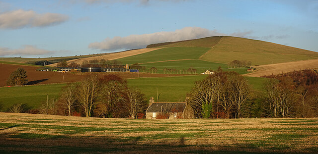
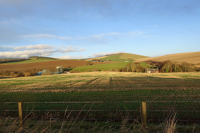
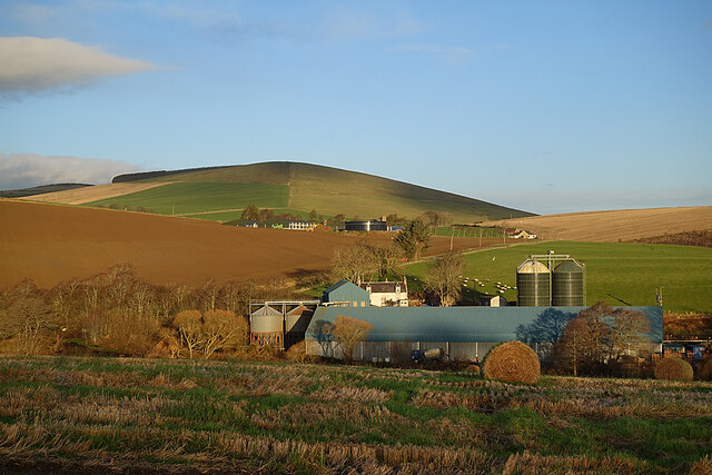
The Hill of Bucharn is a prominent landmark located in Aberdeenshire, Scotland. Situated in the rural countryside, this hill/mountain offers breathtaking views and is a popular destination for hikers, nature enthusiasts, and adventure seekers.
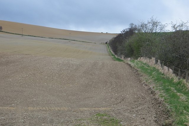
Rising to an elevation of approximately 422 meters (1,385 feet), the Hill of Bucharn is part of the Grampian Mountains range. Its distinctive peak and rugged terrain make it an appealing challenge for experienced climbers. The ascent to the top of the hill can be steep and demanding, but the reward is a panoramic vista that stretches across the surrounding countryside.
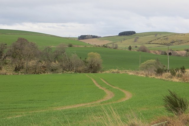
The hill is predominantly covered in heather and grass, and it is home to a variety of plant and animal species. Visitors may encounter grouse, deer, and various bird species while exploring the area. On clear days, it is possible to see the nearby towns of Alford and Kintore, as well as the picturesque River Don winding its way through the landscape.
As a designated Site of Special Scientific Interest (SSSI), the Hill of Bucharn offers a unique opportunity to observe and appreciate Aberdeenshire's natural beauty and biodiversity. The area is also historically significant, with traces of ancient settlements and structures found in its vicinity.
Access to the Hill of Bucharn is relatively easy, with a well-maintained trail leading to the summit. However, caution should be exercised, especially during inclement weather, as the exposed nature of the hill can make it challenging and potentially hazardous. Nonetheless, for those seeking a memorable outdoor adventure, the Hill of Bucharn is a must-visit destination.
If you have any feedback on the listing, please let us know in the comments section below.
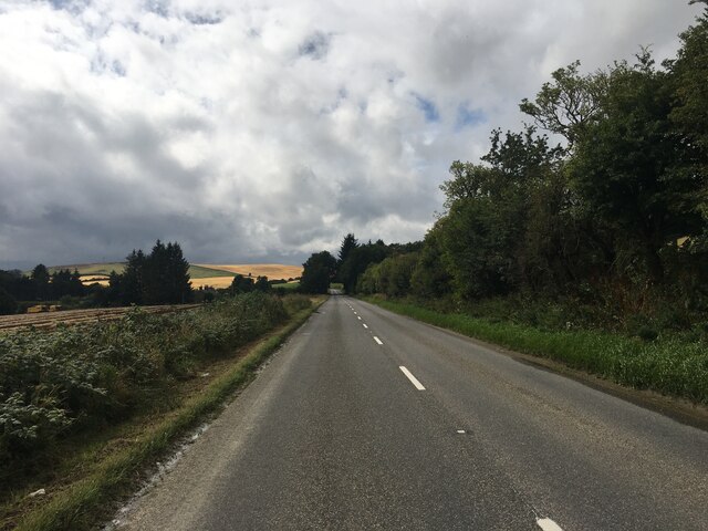
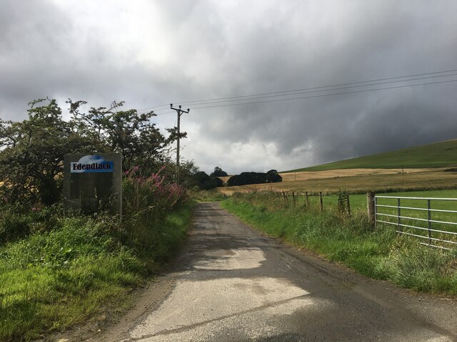
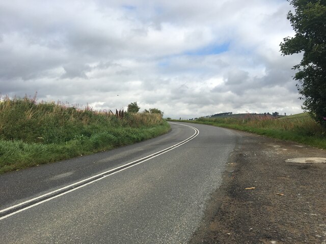
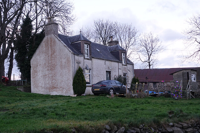
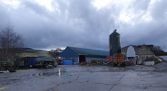
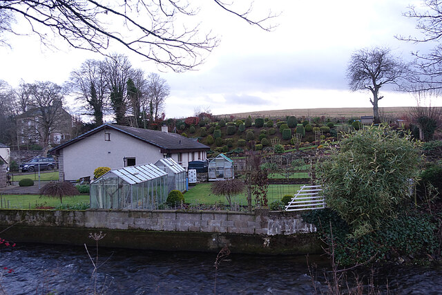
Hill of Bucharn Images
Images are sourced within 2km of 57.41796/-2.8072443 or Grid Reference NJ5136. Thanks to Geograph Open Source API. All images are credited.


Hill of Bucharn is located at Grid Ref: NJ5136 (Lat: 57.41796, Lng: -2.8072443)
Unitary Authority: Aberdeenshire
Police Authority: North East
What 3 Words
///broom.storage.lotteries. Near Huntly, Aberdeenshire
Nearby Locations
Related Wikis

Burn of Tullochbeg
Burn of Tullochbeg is a burn which marks the boundary of the parish of Huntly, Aberdeenshire, Scotland. == References ==

Jubilee Hospital, Huntly
The Jubilee Hospital is a community hospital in Huntly, Aberdeenshire, Scotland. It is managed by NHS Grampian. == History == The hospital, which was financed...
Strathbogie, Scotland
Strathbogie (Scottish Gaelic: Srath Bholgaidh or Srath Bhalgaidh) is a district and river valley of northwest Aberdeenshire in Scotland, formerly one of...
Kye Hill
Kye Hill is a hill by Huntly, Aberdeenshire, Scotland. It lies southwest of The Clashmach hill and is nearly the same height. There is a former limestone...

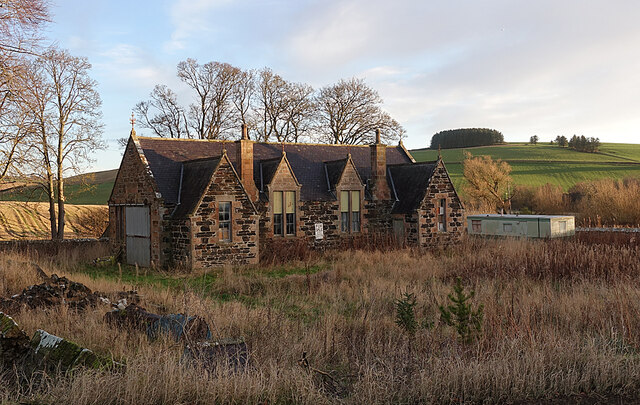
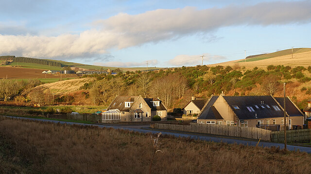
Huntly
Huntly (Scottish Gaelic: Srath Bhalgaidh or Hunndaidh) is a town in Aberdeenshire, Scotland, formerly known as Milton of Strathbogie or simply Strathbogie...

Stewart's Hall
Stewart's Hall, formerly Huntly Town Hall, is a municipal structure in Gordon Street, Huntly, Aberdeenshire, Scotland. The structure, which is used as...
Deveron Projects
Deveron Projects, formerly Deveron Arts, is a United Kingdom arts organisation based in Huntly, Aberdeenshire, Scotland that hosts international artists...
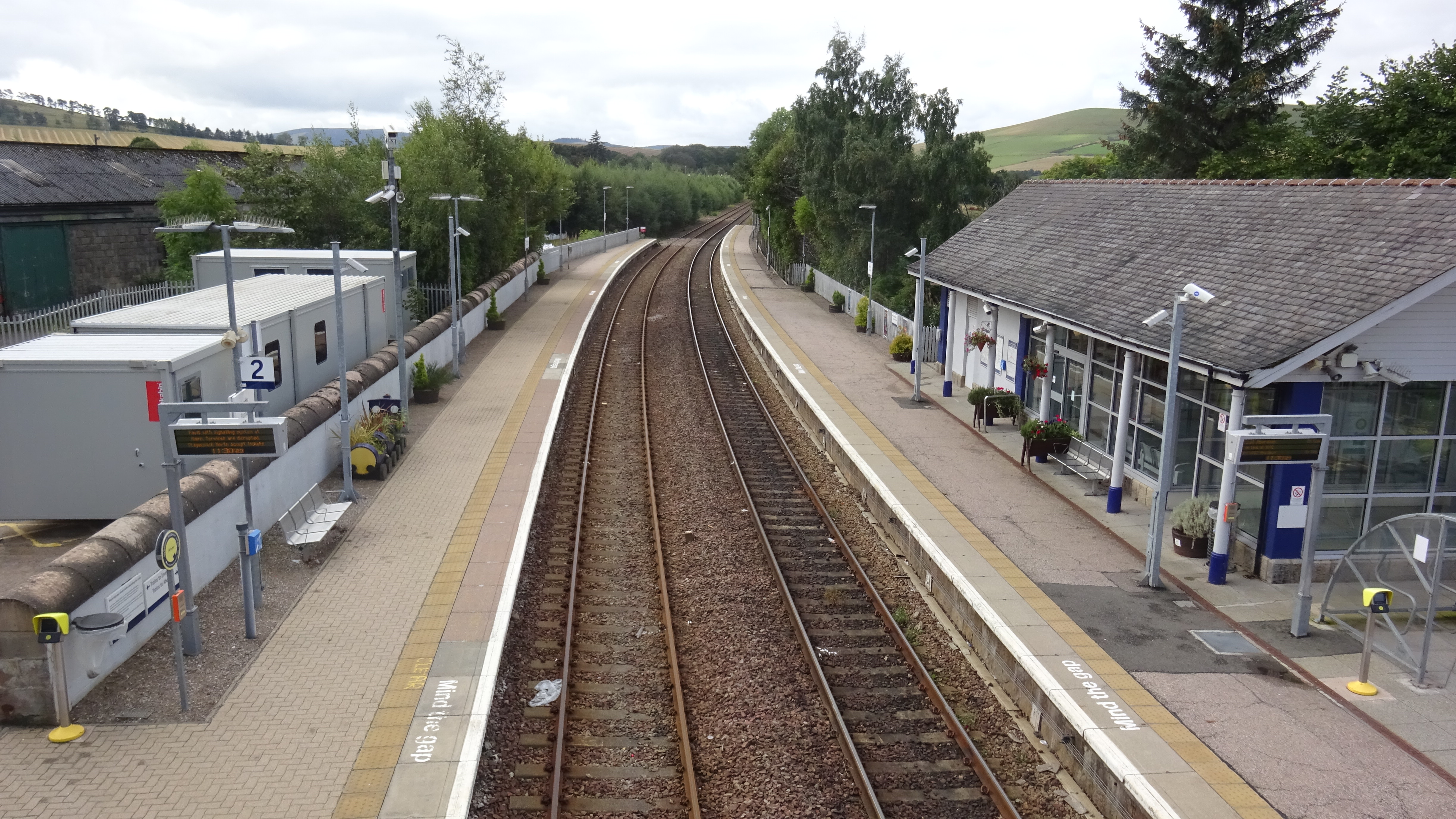
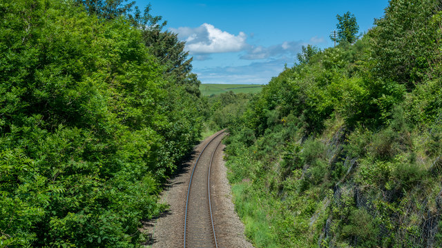
Huntly railway station
Huntly railway station is a railway station serving the town of Huntly in Scotland. The station is managed by ScotRail and is on the Aberdeen to Inverness...
Nearby Amenities
Located within 500m of 57.41796,-2.8072443Have you been to Hill of Bucharn?
Leave your review of Hill of Bucharn below (or comments, questions and feedback).