Barrow Hill
Hill, Mountain in Somerset
England
Barrow Hill

Barrow Hill, located in Somerset, England, is a prominent hill that stands at an elevation of 307 meters (1,007 feet) above sea level. Situated in the Mendip Hills Area of Outstanding Natural Beauty, it offers breathtaking panoramic views of the surrounding countryside.
The hill is nestled in the heart of the Somerset Levels, an area renowned for its stunning landscapes and rich wildlife. Barrow Hill is a popular destination for hikers, nature enthusiasts, and photographers alike, who are drawn to its tranquil and picturesque setting.
The summit of Barrow Hill is adorned with an Iron Age hillfort, which adds to its historical significance. This archaeological site is believed to have been occupied during the Iron Age, around 2,500 years ago. Visitors can explore the remnants of the hillfort, including its circular earthworks and defensive ditches, gaining insight into the region's ancient past.
The hill is also home to a diverse range of flora and fauna, with species such as wildflowers, butterflies, and birds thriving in its natural habitat. The surrounding woodlands provide a haven for wildlife, and visitors may encounter deer, rabbits, and various bird species during their visit.
Barrow Hill offers a variety of walking trails, ranging from gentle strolls to more challenging hikes, catering to all levels of fitness and experience. The paths wind through rolling meadows, woodlands, and open fields, providing ample opportunities to immerse oneself in the beauty of the countryside.
Overall, Barrow Hill in Somerset is a captivating destination that combines natural beauty with historical significance, making it an ideal spot for outdoor enthusiasts seeking a peaceful retreat amidst stunning landscapes.
If you have any feedback on the listing, please let us know in the comments section below.
Barrow Hill Images
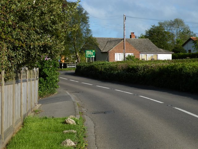
Images are sourced within 2km of 51.400969/-2.7005934 or Grid Reference ST5167. Thanks to Geograph Open Source API. All images are credited.


Barrow Hill is located at Grid Ref: ST5167 (Lat: 51.400969, Lng: -2.7005934)
Unitary Authority: North Somerset
Police Authority: Avon and Somerset
What 3 Words
///firmly.link.drill. Near Winford, Somerset
Nearby Locations
Related Wikis
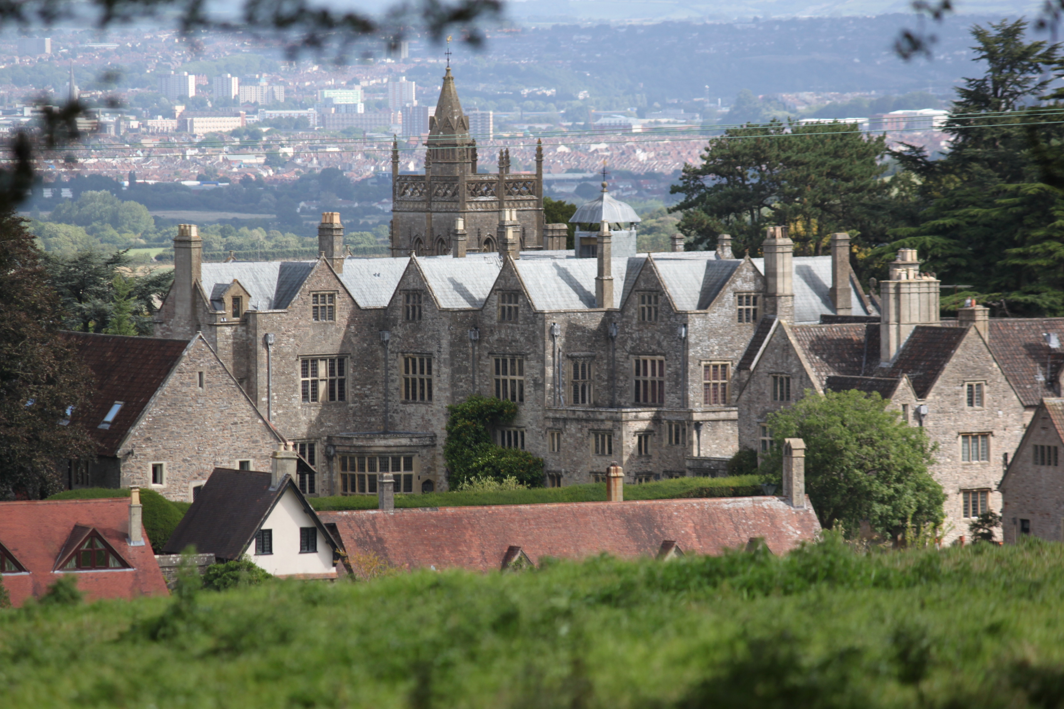
Barrow Court
Barrow Court is a manor house in Barrow Gurney, Somerset, England. The site was originally Barrow Gurney Nunnery and was rebuilt in the 16th and 19th centuries...

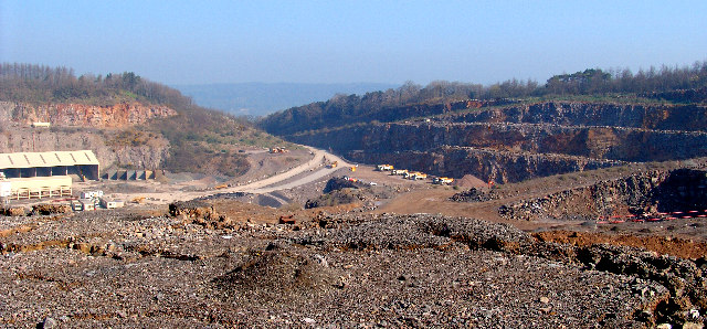
Lulsgate Quarry
Lulsgate Quarry (grid reference ST516659) is a 2¾ acre (1.13 hectare) geological Site of Special Scientific Interest near the village of Felton, North...
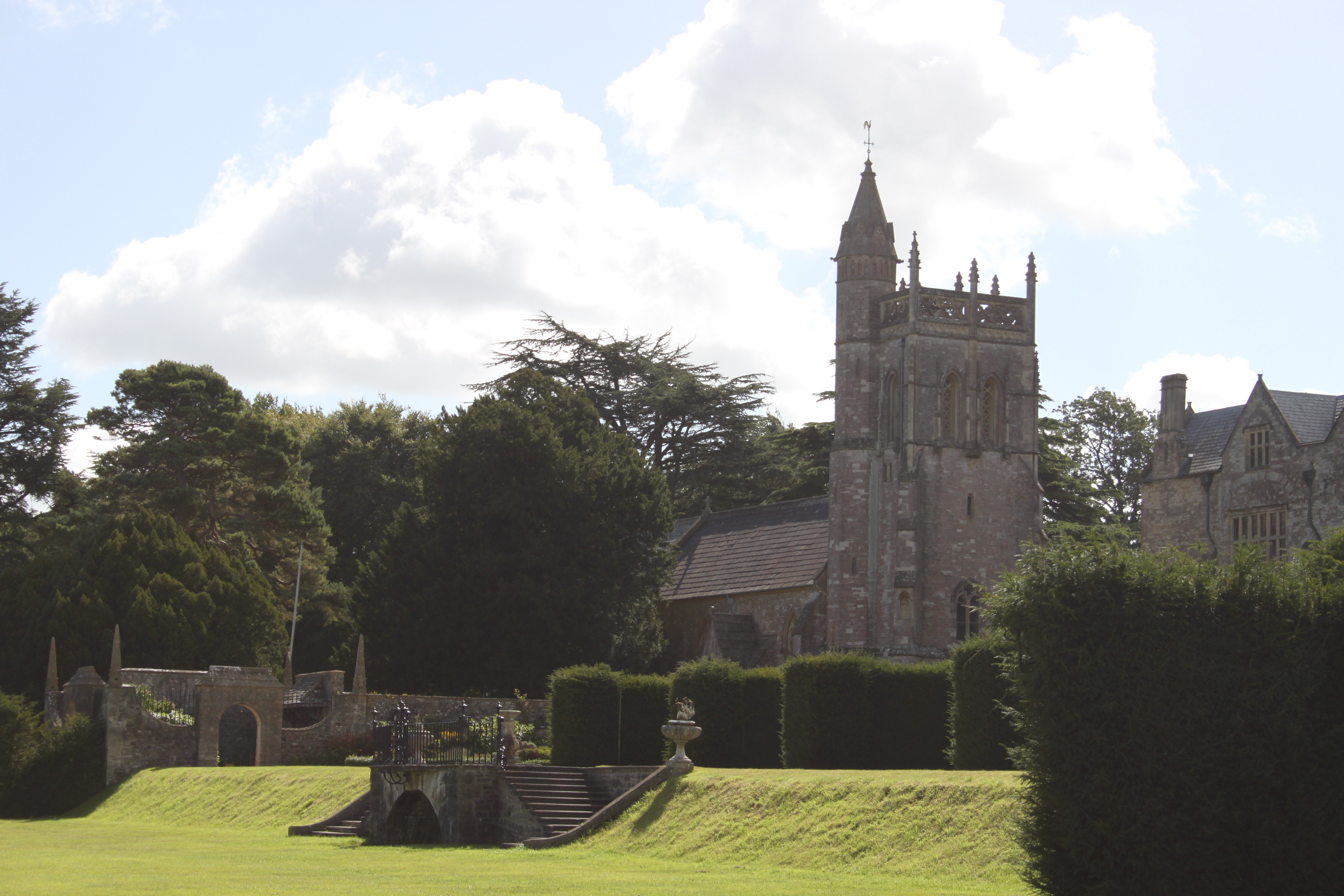
Church of St Mary and St Edward, Barrow Gurney
The Church of St Mary and St Edward is an Anglican parish church in Barrow Gurney, Somerset, England. It was built in the 12th century, but largely rebuilt...
Stancombe Quarry
Stancombe Quarry is a quarry at Flax Bourton near Backwell in the North Somerset district of Somerset, England. The quarry which is operated by Tarmac...

Barrow Gurney Nunnery
Barrow Gurney Nunnery (also called Minchin Barrow) was established around 1200 in Barrow Gurney Somerset, England. The Benedictine convent was founded...

Lulsgate Aerodrome
Lulsgate Aerodrome was a motor racing circuit at the former RAF Lulsgate Bottom airfield, which in 1957 subsequently became Bristol Airport. The airfield...

Hartcliff Rocks Quarry
Hartcliff Rocks Quarry (grid reference ST534662) is a 1.6 hectare (3.9 acre) Site of Special Scientific Interest (SSSI) near Felton, Somerset notified...

Barrow Gurney
Barrow Gurney is a village and civil parish in Somerset, England, situated in the unitary authority of North Somerset on the B3130, midway between the...
Nearby Amenities
Located within 500m of 51.400969,-2.7005934Have you been to Barrow Hill?
Leave your review of Barrow Hill below (or comments, questions and feedback).