Colifort Hill

Hill, Mountain in Roxburghshire

Scotland

Colifort Hill

Hawick from the air The course of the former Waverley Route railway line can be seen at Barns in the foreground.
Hawick from the air Credit: Thomas Nugent

Colifort Hill is a prominent hill located in the county of Roxburghshire, Scotland. It stands at an elevation of approximately 1,250 feet (381 meters) above sea level and is known for its stunning natural beauty and panoramic views of the surrounding landscape.

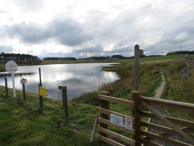
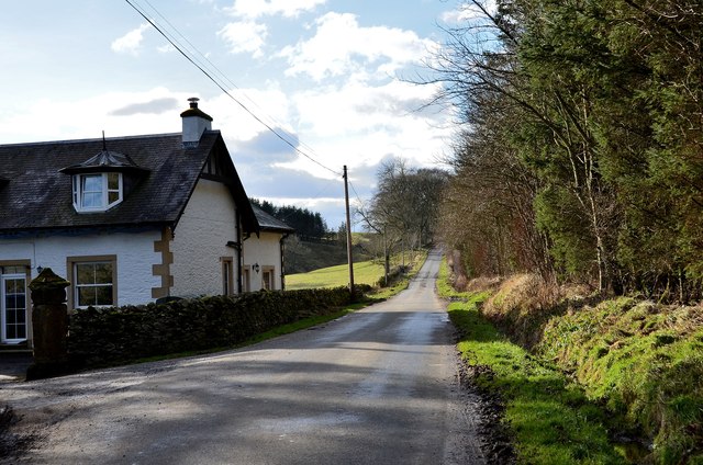
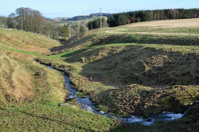
Situated in the southern uplands of Scotland, Colifort Hill is part of a range of rolling hills and moorland, offering visitors a tranquil and picturesque setting. The hill is covered in lush green vegetation, including heather, grasses, and scattered shrubs, providing a habitat for various wildlife species.

The ascent to the summit of Colifort Hill is relatively gentle, making it accessible for hikers of various fitness levels. The hill is popular among outdoor enthusiasts, who come here to enjoy activities such as hiking, walking, and picnicking. The well-maintained trails and paths ensure a pleasant and safe experience for visitors.

From the top of Colifort Hill, visitors are rewarded with breathtaking views of the surrounding countryside, including the nearby River Teviot and the rolling hills of the Scottish Borders. On clear days, it is even possible to see as far as the Cheviot Hills in Northumberland, England.

Colifort Hill is also steeped in history and folklore, with ancient ruins and archaeological sites scattered throughout the area. It offers a glimpse into the rich cultural heritage of Roxburghshire and provides an opportunity for visitors to connect with the past.

Overall, Colifort Hill is a remarkable natural landmark in Roxburghshire, offering a blend of scenic beauty, outdoor recreation, and historical significance. It is a must-visit destination for nature enthusiasts and history buffs alike.

If you have any feedback on the listing, please let us know in the comments section below.

Colifort Hill Images

Images are sourced within 2km of 55.395478/-2.7733342 or Grid Reference NT5111. Thanks to Geograph Open Source API. All images are credited.

Hawick from the air The course of the former Waverley Route railway line can be seen at Barns in the foreground.
Hawick from the air
The course of the former Waverley Route railway line can be seen at Barns in the foreground.
Farm and Barns Viaduct
Slitrig Water at Woodfoot Bridge Looking upstream.
Slitrig Water at Woodfoot Bridge
Looking upstream.
Bank of Rosebay Willowherb on cleared ground Trees have been felled and the willowherb has taken advantage.
Bank of Rosebay Willowherb on cleared ground
Trees have been felled and the willowherb has taken advantage.
Barns Viaduct
Barns Viaduct
Chimney Of A Meldrum Destructor The Meldrum Destructor was a popular design of refuse incinerator in the early 1900s.  All that remains of the incinerator is the chimney, although a farm building adjacent to this site may well have utilised some components of the destructor building.
Chimney Of A Meldrum Destructor
The Meldrum Destructor was a popular design of refuse incinerator in the early 1900s. All that remains of the incinerator is the chimney, although a farm building adjacent to this site may well have utilised some components of the destructor building.
Stobs Camp Sewage Works Site A view across the lower filter bed towards the upper filter bed (still containing clinker).  Beyond, the farm building at the Meldrum Destructor site can be noted.
Stobs Camp Sewage Works Site
A view across the lower filter bed towards the upper filter bed (still containing clinker). Beyond, the farm building at the Meldrum Destructor site can be noted.
On Barns Viaduct The former track bed of the Waverley Line on Barns Viaduct is now heavily vegetated with brush - surely this could lead towards deterioration of the structure?  Unfortunately progress further south is prevented by a barricade of wood and fencing, presumably erected by the occupants of the nearby former Station House.
On Barns Viaduct
The former track bed of the Waverley Line on Barns Viaduct is now heavily vegetated with brush - surely this could lead towards deterioration of the structure? Unfortunately progress further south is prevented by a barricade of wood and fencing, presumably erected by the occupants of the nearby former Station House.
Barns Viaduct A view up to the viaduct from the road to Barns.
Barns Viaduct
A view up to the viaduct from the road to Barns.
Road to Newcastleton
Williestruther Loch Looking south-westward.
Williestruther Loch
Looking south-westward.
Williestruther Loch A small reservoir with fishing by permit. A footpath circles the loch.
Williestruther Loch
A small reservoir with fishing by permit. A footpath circles the loch.
Sign at Williestruther Loch A closer view of the sign appearing in <a href="https://www.geograph.org.uk/photo/7082832">NT4911 : Williestruther Loch</a>.
Sign at Williestruther Loch
A closer view of the sign appearing in NT4911 : Williestruther Loch.
Williestruther Loch Surrounded by rich grazing and woodlands, the loch is a peaceful a place for visitors and fishermen alike.
Williestruther Loch
Surrounded by rich grazing and woodlands, the loch is a peaceful a place for visitors and fishermen alike.
Minor road to Williestruther Loch The house on the left is by the entrance to Flex House.
Minor road to Williestruther Loch
The house on the left is by the entrance to Flex House.
The Flex Burn, Williestruther Loch The burn is the outflow from the loch, seen here from the dam on the N side.
The Flex Burn, Williestruther Loch
The burn is the outflow from the loch, seen here from the dam on the N side.
Acreknowe Reservoir Another small reservoir about 1km south of Williestruther Loch. Fishing is permitted but by permit only.
Acreknowe Reservoir
Another small reservoir about 1km south of Williestruther Loch. Fishing is permitted but by permit only.
Dam at Acreknowe Reservoir The dam on the NE side with a small brick valve house and a bridge to an intake structure.
Dam at Acreknowe Reservoir
The dam on the NE side with a small brick valve house and a bridge to an intake structure.
Show me another place!

Colifort Hill is located at Grid Ref: NT5111 (Lat: 55.395478, Lng: -2.7733342)

Unitary Authority: The Scottish Borders

Police Authority: The Lothians and Scottish Borders

What 3 Words

///crispier.pony.ejects. Near Hawick, Scottish Borders

Related Wikis

Nearby Amenities

Located within 500m of 55.395478,-2.7733342
Barrier: cattle_grid
Lat/Long: 55.3974572/-2.7747951
Power: pole
Lat/Long: 55.3955132/-2.780502
Power: pole
Lat/Long: 55.3945549/-2.779344
Power: pole
Lat/Long: 55.3937166/-2.7783387
Power: pole
Lat/Long: 55.3930965/-2.7775904
Power: pole
Lat/Long: 55.3920398/-2.778359
Power: pole
Lat/Long: 55.3944017/-2.7772545
Power: pole
Lat/Long: 55.3950536/-2.7759877
Power: pole
Lat/Long: 55.3952661/-2.7755677
Power: pole
Lat/Long: 55.3953586/-2.774878
Power: pole
Lat/Long: 55.395433/-2.7743079
Power: pole
Lat/Long: 55.3952422/-2.7733891
Power: pole
Lat/Long: 55.3951353/-2.7730939
Power: pole
Lat/Long: 55.3950457/-2.772847
Power: pole
Lat/Long: 55.3951526/-2.7726065
Power: pole
Lat/Long: 55.3944841/-2.777028
The data included in this document is from www.openstreetmap.org. The data is made available under ODbL.

Have you been to Colifort Hill?

Leave your review of Colifort Hill below (or comments, questions and feedback).