Blaeberry Hill

Hill, Mountain in Roxburghshire

Scotland

Blaeberry Hill

Southern Upland Way, Gala Hill The way descends towards the River Tweed to the south of Galashiels.
Southern Upland Way, Gala Hill Credit: Jim Barton

Blaeberry Hill is a prominent landmark located in Roxburghshire, a historic county in the Scottish Borders region of Scotland. This hill, also known as a mountain due to its significant elevation, stands at approximately 467 meters (1,532 feet) above sea level. Situated in the southern uplands, it forms part of the beautiful landscape of the Scottish Borders.

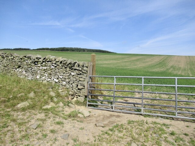
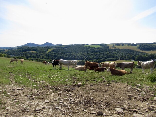
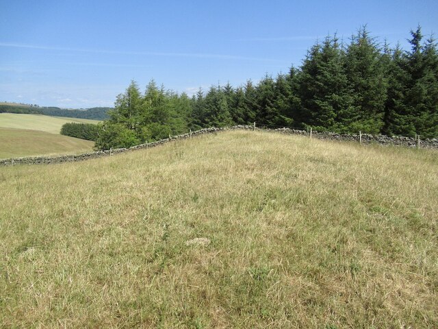
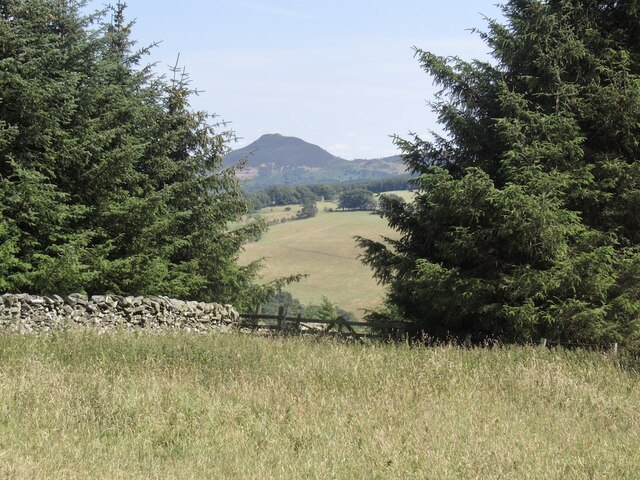
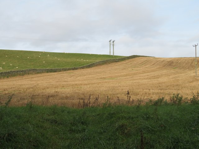
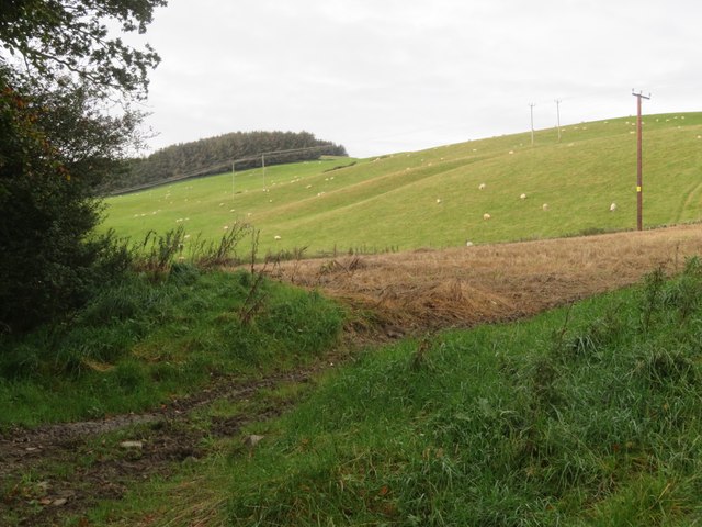
Blaeberry Hill offers stunning panoramic views of the surrounding area, including the rolling hills, expansive farmland, and picturesque valleys. The summit provides an excellent vantage point for photographers, hikers, and nature enthusiasts alike to appreciate the natural beauty of the region.

The hill is covered in a mix of vegetation, including heather, grasses, and scattered trees. This diverse flora supports a variety of wildlife, from birds and small mammals to deer and other larger mammals that roam the area. The hill is also known for its abundant blaeberry bushes, after which it is named. These bushes produce delicious blueberries during the summer months, attracting both wildlife and foragers.

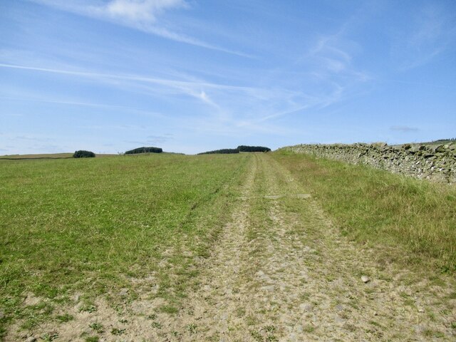
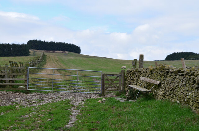
Access to Blaeberry Hill is facilitated by a network of well-maintained trails, making it easily accessible for outdoor activities such as hiking and mountain biking. The hill is a popular destination for both locals and tourists seeking outdoor adventures and a chance to immerse themselves in the natural splendor of the Scottish Borders.

If you have any feedback on the listing, please let us know in the comments section below.

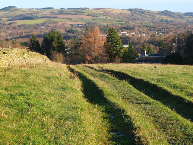
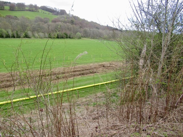
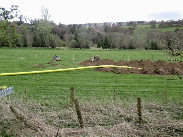
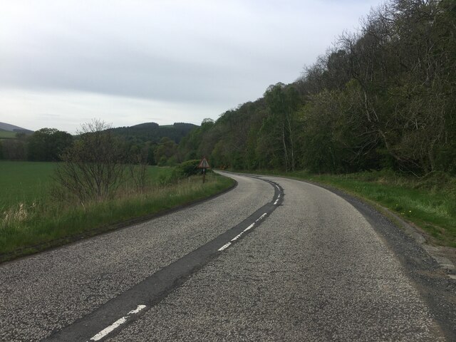
Blaeberry Hill Images

Images are sourced within 2km of 55.588548/-2.7813952 or Grid Reference NT5033. Thanks to Geograph Open Source API. All images are credited.

Southern Upland Way, Gala Hill The way descends towards the River Tweed to the south of Galashiels.
Southern Upland Way, Gala Hill
The way descends towards the River Tweed to the south of Galashiels.
Pipeline construction Between Galshiels and Selkirk
Pipeline construction
Between Galshiels and Selkirk
Pipeline construction
B6360 near Faldonside
Track above Netherbarns
Grassland on Gala Hill During a very dry Summer.
Grassland on Gala Hill
During a very dry Summer.
Cattle above Netherbarns
Gates and seat, Gala Hill The Southern Upland Way turns right here on its traverse across the east side of Gala Hill.
Gates and seat, Gala Hill
The Southern Upland Way turns right here on its traverse across the east side of Gala Hill.
Summit, Tooting Birks Hill
A gap in the trees, Tooting Birks Hill Giving a view of Eildon Mid Hill.
A gap in the trees, Tooting Birks Hill
Giving a view of Eildon Mid Hill.
Stubble field at Tweed Bridge Between the River Tweed and the B6360 to Abbotsford.
Stubble field at Tweed Bridge
Between the River Tweed and the B6360 to Abbotsford.
Stubble field at Tweed Bridge Looking west across the A7 and the River Tweed. The trees on the skyline are at the site of the fort on Rink Hill.
Stubble field at Tweed Bridge
Looking west across the A7 and the River Tweed. The trees on the skyline are at the site of the fort on Rink Hill.
Sheep pasture and stubble at Netherbarns West of the old Abbotsford Road, now bypassed by a realigned A7.
Sheep pasture and stubble at Netherbarns
West of the old Abbotsford Road, now bypassed by a realigned A7.
Sheep pasture at Netherbarns West of the old Abbotsford Road, now bypassed by a realigned A7.
Sheep pasture at Netherbarns
West of the old Abbotsford Road, now bypassed by a realigned A7.
Wooded hillside in Tweeddale Both the A7 and the River Tweed are hidden in the dip. The chimney at Faldonside farm <a href="https://www.geograph.org.uk/photo/7629815">NT5032 : Farm building at Faldonside</a> can be seen on the horizon just left of midcentre.
Wooded hillside in Tweeddale
Both the A7 and the River Tweed are hidden in the dip. The chimney at Faldonside farm NT5032 : Farm building at Faldonside can be seen on the horizon just left of midcentre.
Mixed woodland on Whinny Brae In Tweeddale, mainly Birch and Larch here, with Gorse in the foreground.
Mixed woodland on Whinny Brae
In Tweeddale, mainly Birch and Larch here, with Gorse in the foreground.
Recrossing the Tweed at the Braw Lads' Gathering The Principals and their Attendants returning from Abbotsford, having drunk toasts to Abbotsford and Galashiels. The Braw Lads' Gathering is one of those ancient traditions the Scots are very good at inventing only recently. It dates from 1930. When first proposed, the Provost of Galashiels was at pains to point out that it was NOT a Common Riding of the sort perpetuated by other Borders towns (so no attempt by Gala to emulate its old rivals then?).
Recrossing the Tweed at the Braw Lads' Gathering
The Principals and their Attendants returning from Abbotsford, having drunk toasts to Abbotsford and Galashiels. The Braw Lads' Gathering is one of those ancient traditions the Scots are very good at inventing only recently. It dates from 1930. When first proposed, the Provost of Galashiels was at pains to point out that it was NOT a Common Riding of the sort perpetuated by other Borders towns (so no attempt by Gala to emulate its old rivals then?).
The Braw Lad and Lass Crossing the Tweed The Braw Lad (Lewis Playfair) and Braw Lass (Suzanne Henry) fording the Tweed at Boleside.
The Braw Lad and Lass Crossing the Tweed
The Braw Lad (Lewis Playfair) and Braw Lass (Suzanne Henry) fording the Tweed at Boleside.
Show me another place!

Blaeberry Hill is located at Grid Ref: NT5033 (Lat: 55.588548, Lng: -2.7813952)

Unitary Authority: The Scottish Borders

Police Authority: The Lothians and Scottish Borders

What 3 Words

///devalued.dame.material. Near Tweedbank, Scottish Borders

Related Wikis

Nearby Amenities

Located within 500m of 55.588548,-2.7813952
Natural: peak
Lat/Long: 55.5889338/-2.7832673
Upper Faldonside
Place: hamlet
Lat/Long: 55.5871475/-2.7804516
Power: pole
Lat/Long: 55.5890633/-2.789189
Power: pole
Lat/Long: 55.5889108/-2.7880794
Power: pole
Lat/Long: 55.5887396/-2.7869315
Power: pole
Lat/Long: 55.58858/-2.7858219
Power: pole
Lat/Long: 55.5884175/-2.7846282
Power: pole
Lat/Long: 55.5884419/-2.7836942
Power: pole
Lat/Long: 55.5884735/-2.7827703
Power: pole
Lat/Long: 55.5885095/-2.7818694
Power: pole
Lat/Long: 55.588288/-2.7815614
Power: pole
Lat/Long: 55.5879097/-2.7810168
Power: pole
Lat/Long: 55.5875243/-2.7804517
Power: pole
Lat/Long: 55.5870597/-2.7797748
The data included in this document is from www.openstreetmap.org. The data is made available under ODbL.

Have you been to Blaeberry Hill?

Leave your review of Blaeberry Hill below (or comments, questions and feedback).